82 easy to follow walk route maps of all grades that include part of The Pennine Way

The Pennine Way is a 404km (251 miles) linear footpath connecting Edale in Derbyshire, England with Kirk Yetholm in The Borders, Scotland.

The Pennine Way is waymarked by a National Trail Acorn.


See this list of walks, routes & maps in:

Grade Order | Length Order | Time Order | Walk Number or Start Location Order
NB. To reverse (toggle) this order, click Grade Order again


Walk 1 Walking Bootprint Icon

Walk c293 Cross Fell and Great Dun Fell from Garrigill

Cross Fell is the highest point on the Pennine Way

Download GPS Waypoint Data for walk c293
Download GPX Waypoint Data for walk c293
Download Map and Route Details for walk c293

Vital Statistics:

Length:20 miles (32 km)
Ascent:2,905ft (885m)
Time:10 hrs
Grade:Grade 8 Walking Hard
Walk 2 Walking Bootprint Icon

Walk c317 Cross Fell from Kirkland

The Pennine Way's highest point

Download GPS Waypoint Data for walk c317
Download GPX Waypoint Data for walk c317
Download Map and Route Details for walk c317

Vital Statistics:

Length:10.75 miles (17 km)
Ascent:2,437ft (743m)
Time:6 hrs
Grade:Grade 6 Walking Moderate
Walk 3 Walking Bootprint Icon

Walk c355 Knock Fell and Knock Pike from Dufton

Superb views of the Vale of Eden

Download GPS Waypoint Data for walk c355
Download GPX Waypoint Data for walk c355
Download Map and Route Details for walk c355

Vital Statistics:

Length:11.25 miles (18 km)
Ascent:2,629ft (801m)
Time:6.75hrs
Grade:Grade 7 Walking Hard
Walk 4 Walking Bootprint Icon

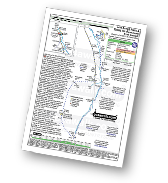
Walk c415 Ashgill Force and Round Hill (Tyne Head) from Garrigill

Both sides of the North Pennines

Download GPS Waypoint Data for walk c415
Download GPX Waypoint Data for walk c415
Download Map and Route Details for walk c415

Vital Statistics:

Length:10.25 miles (16.5 km)
Ascent:1,408ft (429m)
Time:5.25hrs
Grade:Grade 5 Walking Moderate
Walk 5 Walking Bootprint Icon

Walk c419 Brownber Hill, Backstone Edge and High Cup Nick from Dufton

Englands Grand Canyon - truly spectacular

Download GPS Waypoint Data for walk c419
Download GPX Waypoint Data for walk c419
Download Map and Route Details for walk c419

Vital Statistics:

Length:11.25 miles (18 km)
Ascent:2,206ft (672m)
Time:6.25hrs
Grade:Grade 6 Walking Moderate
Walk 6 Walking Bootprint Icon

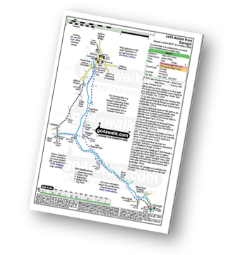
Walk c435 Alston from Garrigill

Lovely riverside stroll

Download GPS Waypoint Data for walk c435
Download GPX Waypoint Data for walk c435
Download Map and Route Details for walk c435

Vital Statistics:

Length:8.75 miles (14 km)
Ascent:798ft (243m)
Time:4 hrs
Grade:Grade 4 Walking Moderate
Walk 7 Walking Bootprint Icon

Walk c438 Murton Fell and High Cup Nick from Dufton

England's Grand Canyon - truly spectacular!

Download GPS Waypoint Data for walk c438
Download GPX Waypoint Data for walk c438
Download Map and Route Details for walk c438

Vital Statistics:

Length:10.75 miles (17 km)
Ascent:1,976ft (602m)
Time:6 hrs
Grade:Grade 6 Walking Moderate
Walk 8 Walking Bootprint Icon

Walk c443 Round Hill and Bellbeaver Rigg from Garrigill

Both sides of the North Pennines

Download GPS Waypoint Data for walk c443
Download GPX Waypoint Data for walk c443
Download Map and Route Details for walk c443

Vital Statistics:

Length:11 miles (17.5 km)
Ascent:1,766ft (538m)
Time:5.75hrs
Grade:Grade 6 Walking Moderate
Walk 9 Walking Bootprint Icon

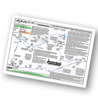
Walk c445 Dufton Pike, Backstone Edge and High Cup Nick from Dufton

Englands Grand Canyon - truly spectacular

Download GPS Waypoint Data for walk c445
Download GPX Waypoint Data for walk c445
Download Map and Route Details for walk c445

Vital Statistics:

Length:12.75 miles (20.5 km)
Ascent:2,819ft (859m)
Time:7½ hrs
Grade:Grade 7 Walking Hard
Walk 10 Walking Bootprint Icon

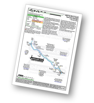
Walk c446 The River South Tyne from Garrigill

Lovely riverside stroll

Download GPS Waypoint Data for walk c446
Download GPX Waypoint Data for walk c446
Download Map and Route Details for walk c446

Vital Statistics:

Length:5 miles (8 km)
Ascent:571ft (174m)
Time:2½ hrs
Grade:Grade 3 Walking Easy
Walk 11 Walking Bootprint Icon

Walk c450 Bellbeaver Rigg (Tynehead Fell), Round Hill (Tyne Head), Bullman Hills and Long Man Hill from Garrigill

The Cross Fell 'Nuttalls' - beware lots of bog!

Download GPS Waypoint Data for walk c450
Download GPX Waypoint Data for walk c450
Download Map and Route Details for walk c450

Vital Statistics:

Length:15.75 miles (25 km)
Ascent:2,343ft (714m)
Time:8 hrs
Grade:Grade 7 Walking Hard
Walk 12 Walking Bootprint Icon

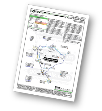
Walk c460 Knock and Great Rundale Beck from Dufton

Easy country walk with plenty of interest

Download GPS Waypoint Data for walk c460
Download GPX Waypoint Data for walk c460
Download Map and Route Details for walk c460

Vital Statistics:

Length:5 miles (8 km)
Ascent:703ft (214m)
Time:2½ hrs
Grade:Grade 3 Walking Easy
Walk 13 Walking Bootprint Icon

Walk c477 Ashgill Falls and Bellbeaver Rigg from Garrigill

Both sides of the North Pennines

Download GPS Waypoint Data for walk c477
Download GPX Waypoint Data for walk c477
Download Map and Route Details for walk c477

Vital Statistics:

Length:10 miles (16 km)
Ascent:1,359ft (414m)
Time:4 hrs
Grade:Grade 5 Walking Moderate
Walk 14 Walking Bootprint Icon

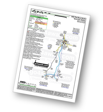
Walk c483 The River South Tyne from Alston

Nice riverside stroll

Download GPS Waypoint Data for walk c483
Download GPX Waypoint Data for walk c483
Download Map and Route Details for walk c483

Vital Statistics:

Length:4.75 miles (7.5 km)
Ascent:479ft (146m)
Time:2.25hrs
Grade:Grade 2 Walking Easy
Walk 15 Walking Bootprint Icon

Walk c488 Dufton Pike from Dufton

Lovely views without the crowds

Download GPS Waypoint Data for walk c488
Download GPX Waypoint Data for walk c488
Download Map and Route Details for walk c488

Vital Statistics:

Length:4.75 miles (7.5 km)
Ascent:1,139ft (347m)
Time:3 hrs
Grade:Grade 4 Walking Moderate
Walk 16 Walking Bootprint Icon

Walk d104 Bramah Edge from Crowden

Fine views to rival the Lake District

Download GPS Waypoint Data for walk d104
Download GPX Waypoint Data for walk d104
Download Map and Route Details for walk d104

Vital Statistics:

Length:7.25 miles (11.5 km)
Ascent:1,515ft (562m)
Time:4.25hrs
Grade:Grade 5 Walking Moderate
Walk 17 Walking Bootprint Icon

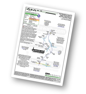
Walk d122 Bleaklow Head (Bleaklow Hill) and Higher Shelf Stones from the Snake Pass

Good navigation skills essential

Download GPS Waypoint Data for walk d122
Download GPX Waypoint Data for walk d122
Download Map and Route Details for walk d122

Vital Statistics:

Length:5.25 miles (8.5 km)
Ascent:630ft (192m)
Time:2½ hrs
Grade:Grade 3 Walking Easy
Walk 18 Walking Bootprint Icon

Walk d135 Kinder Downfall from Birchin Clough

Wild moorland and the Pennine Way

Download GPS Waypoint Data for walk d135
Download GPX Waypoint Data for walk d135
Download Map and Route Details for walk d135

Vital Statistics:

Length:9 miles (14.5 km)
Ascent:1,689ft (515m)
Time:5 hrs
Grade:Grade 5 Walking Moderate
Walk 19 Walking Bootprint Icon

Walk d156 Kinder Low (Kinder Scout), Brown Knoll (Edale), South Head (Hayfield) and Mount Famine from Bowden Bridge, Hayfield

A steady climb to high level views

Download GPS Waypoint Data for walk d156
Download GPX Waypoint Data for walk d156
Download Map and Route Details for walk d156

Vital Statistics:

Length:10.75 miles (17 km)
Ascent:2,242ft (683m)
Time:6.25hrs
Grade:Grade 6 Walking Moderate
Walk 20 Walking Bootprint Icon

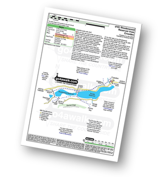
Walk d161 Rhodeswood Reservoir from Crowden

Delightful water-side stroll

Download GPS Waypoint Data for walk d161
Download GPX Waypoint Data for walk d161
Download Map and Route Details for walk d161

Vital Statistics:

Length:5.25 miles (8.5 km)
Ascent:823ft (251m)
Time:2.75hrs
Grade:Grade 3 Walking Easy
Walk 21 Walking Bootprint Icon

Walk d162 Brown Knoll (Edale), Lord's Seat (Rushup Edge) and Mam Tor via Jacob's Ladder from Edale

Fine high level walk away from the crowds - can be boggy

Download GPS Waypoint Data for walk d162
Download GPX Waypoint Data for walk d162
Download Map and Route Details for walk d162

Vital Statistics:

Length:10.5 miles (17 km)
Ascent:1,986ft (605m)
Time:5.75hrs
Grade:Grade 6 Walking Moderate
Walk 22 Walking Bootprint Icon

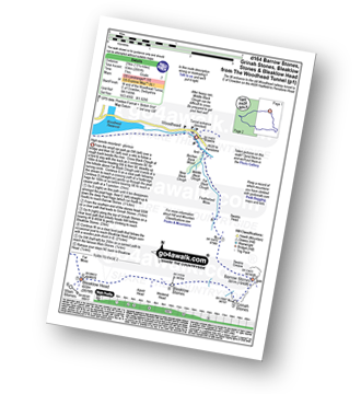
Walk d164 Barrow Stones, Grinah Stones, Bleaklow Stones and Bleaklow Head (Bleaklow Hill) from Woodhead

High remote moorland - glorious

Download GPS Waypoint Data for walk d164
Download GPX Waypoint Data for walk d164
Download Map and Route Details for walk d164

Vital Statistics:

Length:13.25 miles (21 km)
Ascent:2,081ft (634m)
Time:7 hrs
Grade:Grade 7 Walking Hard
Walk 23 Walking Bootprint Icon

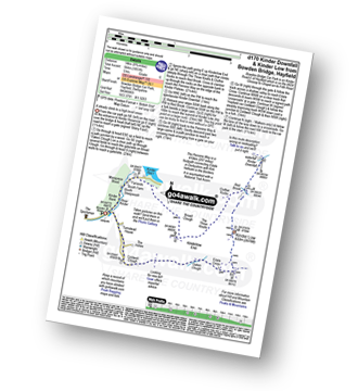
Walk d170 Kinder Downfall and Kinder Low from Bowden Bridge, Hayfield

A steady climb to high level views

Download GPS Waypoint Data for walk d170
Download GPX Waypoint Data for walk d170
Download Map and Route Details for walk d170

Vital Statistics:

Length:8.75 miles (14 km)
Ascent:1,851ft (564m)
Time:5 hrs
Grade:Grade 6 Walking Moderate
Walk 24 Walking Bootprint Icon

Walk d172 Bleaklow Head (Bleaklow Hill) and Higher Shelf Stones from Old Glossop

Good navigation skills essential

Download GPS Waypoint Data for walk d172
Download GPX Waypoint Data for walk d172
Download Map and Route Details for walk d172

Vital Statistics:

Length:9 miles (14.5 km)
Ascent:1,850ft (564m)
Time:5.25hrs
Grade:Grade 6 Walking Moderate
Walk 25 Walking Bootprint Icon

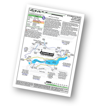
Walk d174 Millstone Rocks and Lad's Leap from Crowden

Two edges and two dams

Download GPS Waypoint Data for walk d174
Download GPX Waypoint Data for walk d174
Download Map and Route Details for walk d174

Vital Statistics:

Length:6.25 miles (10 km)
Ascent:1,610ft (491m)
Time:4 hrs
Grade:Grade 5 Walking Moderate
Walk 26 Walking Bootprint Icon

Walk d176 Fairbrook Naze (Kinder Scout) and Mill Hill from Birchin Clough

Wild moorland and the Pennine Way

Download GPS Waypoint Data for walk d176
Download GPX Waypoint Data for walk d176
Download Map and Route Details for walk d176

Vital Statistics:

Length:9.75 miles (15.5 km)
Ascent:1,841ft (561m)
Time:5½ hrs
Grade:Grade 6 Walking Moderate
Walk 27 Walking Bootprint Icon

Walk d186 Kinder Scout and Kinder Downfall from Bowden Bridge, Hayfield

Classic high level route across Kinder Scout

Download GPS Waypoint Data for walk d186
Download GPX Waypoint Data for walk d186
Download Map and Route Details for walk d186

Vital Statistics:

Length:8.75 miles (14 km)
Ascent:2,192ft (688m)
Time:5½ hrs
Grade:Grade 6 Walking Moderate
Walk 28 Walking Bootprint Icon

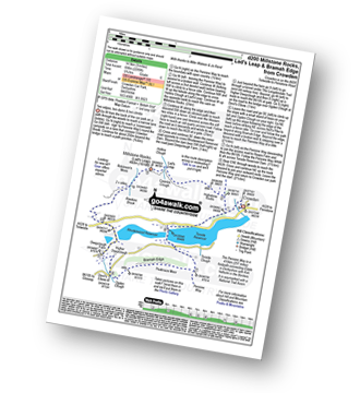
Walk d200 Millstone Rocks, Lad's Leap and Bramah Edge from Crowden

Two edges, two dams, two climbs

Download GPS Waypoint Data for walk d200
Download GPX Waypoint Data for walk d200
Download Map and Route Details for walk d200

Vital Statistics:

Length:8.5 miles (13.5 km)
Ascent:2,289ft (698m)
Time:5½ hrs
Grade:Grade 6 Walking Moderate
Walk 29 Walking Bootprint Icon

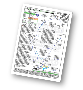
Walk d205 Black Chew Head (Laddow Rocks) and Black Hill (Soldier's Lump) from Crowden

Easy to follow paths across wild moorland

Download GPS Waypoint Data for walk d205
Download GPX Waypoint Data for walk d205
Download Map and Route Details for walk d205

Vital Statistics:

Length:9 miles (14.5 km)
Ascent:1,746ft (532m)
Time:5 hrs
Grade:Grade 5 Walking Moderate
Walk 30 Walking Bootprint Icon

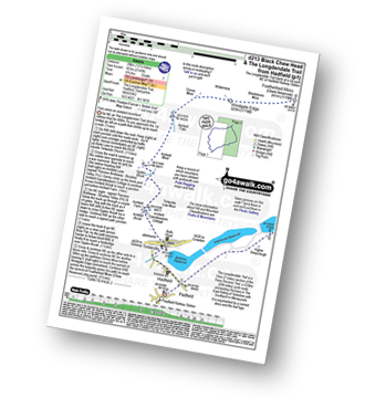
Walk d213 Black Chew Head (Laddow Rocks) and The Longdenden Trail from Hadfield

Fine views on isolated moorland

Download GPS Waypoint Data for walk d213
Download GPX Waypoint Data for walk d213
Download Map and Route Details for walk d213

Vital Statistics:

Length:12.5 miles (20 km)
Ascent:2,143ft (653m)
Time:6.75hrs
Grade:Grade 7 Walking Hard
Walk 31 Walking Bootprint Icon

Walk d240 Kinder Downfall and Kinder Scout from Edale

Good compass skills essential in thick weather

Download GPS Waypoint Data for walk d240
Download GPX Waypoint Data for walk d240
Download Map and Route Details for walk d240

Vital Statistics:

Length:10.25 miles (16.5 km)
Ascent:1,870ft (570m)
Time:5.75hrs
Grade:Grade 6 Walking Moderate
Walk 32 Walking Bootprint Icon

Walk d263 Seal Stones (Kinder Scout), Fairbrook Naze (Kinder Scout) and Mill Hill from Birchin Clough

Wild moorland and the Pennine Way

Download GPS Waypoint Data for walk d263
Download GPX Waypoint Data for walk d263
Download Map and Route Details for walk d263

Vital Statistics:

Length:12.25 miles (19.5 km)
Ascent:2,189ft (667m)
Time:6.75hrs
Grade:Grade 7 Walking Hard
Walk 33 Walking Bootprint Icon

Walk d266 Bleaklow Head (Bleaklow Hill) from Woodhead Tunnel

Superb gorge walk & high remote moorland

Download GPS Waypoint Data for walk d266
Download GPX Waypoint Data for walk d266
Download Map and Route Details for walk d266

Vital Statistics:

Length:10.5 miles (17 km)
Ascent:1,975ft (602m)
Time:5.75hrs
Grade:Grade 6 Walking Moderate
Walk 34 Walking Bootprint Icon

Walk d296 Jacob's Ladder and Kinder Scout from Edale

The start of the Pennine Way

Download GPS Waypoint Data for walk d296
Download GPX Waypoint Data for walk d296
Download Map and Route Details for walk d296

Vital Statistics:

Length:8.25 miles (13 km)
Ascent:1,860ft (567m)
Time:4.75hrs
Grade:Grade 5 Walking Moderate
Walk 35 Walking Bootprint Icon

Walk d320 Mill Hill from Birchin Clough

Wild moorland and the Pennine Way

Download GPS Waypoint Data for walk d320
Download GPX Waypoint Data for walk d320
Download Map and Route Details for walk d320

Vital Statistics:

Length:8.75 miles (14 km)
Ascent:1,328ft (405m)
Time:4½ hrs
Grade:Grade 5 Walking Moderate
Walk 36 Walking Bootprint Icon

Walk d321 Mill Hill and Middle Moor from Hayfield

Two ascents - Two superb view points

Download GPS Waypoint Data for walk d321
Download GPX Waypoint Data for walk d321
Download Map and Route Details for walk d321

Vital Statistics:

Length:9.5 miles (15 km)
Ascent:2,074ft (632m)
Time:5½ hrs
Grade:Grade 6 Walking Moderate
Walk 37 Walking Bootprint Icon

Walk du125 Lunedale from Middleton-in-Teesdale

Wonderfully contrasting country walk

Download GPS Waypoint Data for walk du125
Download GPX Waypoint Data for walk du125
Download Map and Route Details for walk du125

Vital Statistics:

Length:8.25 miles (13 km)
Ascent:1,172ft (357m)
Time:4.25hrs
Grade:Grade 5 Walking Moderate
Walk 38 Walking Bootprint Icon

Walk du131 Cronkley Scar and High Force from Bowlees

Good views and the stunning River Tees

Download GPS Waypoint Data for walk du131
Download GPX Waypoint Data for walk du131
Download Map and Route Details for walk du131

Vital Statistics:

Length:12.5 miles (20 km)
Ascent:1,279ft (390m)
Time:5.75hrs
Grade:Grade 6 Walking Moderate
Walk 39 Walking Bootprint Icon

Walk du136 Hardberry Hill from Middleton-in-Teesdale

Delightful river side stroll leading to fine views

Download GPS Waypoint Data for walk du136
Download GPX Waypoint Data for walk du136
Download Map and Route Details for walk du136

Vital Statistics:

Length:9 miles (14.5 km)
Ascent:1,730ft (527m)
Time:5 hrs
Grade:Grade 6 Walking Moderate
Walk 40 Walking Bootprint Icon

Walk du137 Hannah's Meadow and Goldsborough from Balderhead Reservoir

Delightful hay meadow and valley walk

Download GPS Waypoint Data for walk du137
Download GPX Waypoint Data for walk du137
Download Map and Route Details for walk du137

Vital Statistics:

Length:7.75 miles (12.5 km)
Ascent:988ft (301m)
Time:4 hrs
Grade:Grade 4 Walking Moderate
Walk 41 Walking Bootprint Icon

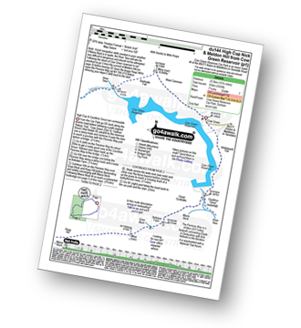
Walk du144 High Cup Nick and Meldon Hill from Cow Green Reservoir

The view down High Cup is simply stunning.

Download GPS Waypoint Data for walk du144
Download GPX Waypoint Data for walk du144
Download Map and Route Details for walk du144

Vital Statistics:

Length:15.75 miles (23.5 km)
Ascent:1,835ft (559m)
Time:7.25hrs
Grade:Grade 7 Walking Hard
Walk 42 Walking Bootprint Icon

Walk gm102 Blackstone Edge from Hollingworth Lake

Fine views - though can be windy(!)

Download GPS Waypoint Data for walk gm102
Download GPX Waypoint Data for walk gm102
Download Map and Route Details for walk gm102

Vital Statistics:

Length:6.25 miles (10 km)
Ascent:1,017ft (310m)
Time:3½ hrs
Grade:Grade 4 Walking Moderate
Walk 43 Walking Bootprint Icon

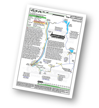
Walk gm115 Blackstone Edge from Littleborough

Fine views followed by a canal side stroll

Download GPS Waypoint Data for walk gm115
Download GPX Waypoint Data for walk gm115
Download Map and Route Details for walk gm115

Vital Statistics:

Length:10 miles (16 km)
Ascent:1,115ft (340m)
Time:4½ hrs
Grade:Grade 5 Walking Moderate
Walk 44 Walking Bootprint Icon

Walk gm136 White Holme Reservoir Circuit from Blackstone Edge Reservoir

High flat moorland walk - can be windy(!)

Download GPS Waypoint Data for walk gm136
Download GPX Waypoint Data for walk gm136
Download Map and Route Details for walk gm136

Vital Statistics:

Length:9 miles (14.5 km)
Ascent:131ft (40m)
Time:3½ hrs
Grade:Grade 2 Walking Easy
Walk 45 Walking Bootprint Icon

Walk n100 Hadrian's Wall and Vindolanda from Housesteads

The Wall section is surprisingly strenuous

Download GPS Waypoint Data for walk n100
Download GPX Waypoint Data for walk n100
Download Map and Route Details for walk n100

Vital Statistics:

Length:8.25 miles (13 km)
Ascent:1,460ft (445m)
Time:4½ hrs
Grade:Grade 5 Walking Moderate
Walk 46 Walking Bootprint Icon

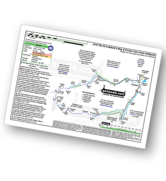
Walk n110 The St Cuthbert's Way and Eccles Cairn from Hethpool

Superb Northumberland Views

Download GPS Waypoint Data for walk n110
Download GPX Waypoint Data for walk n110
Download Map and Route Details for walk n110

Vital Statistics:

Length:7.25 miles (11.5 km)
Ascent:1,165ft (355m)
Time:3.75hrs
Grade:Grade 4 Walking Moderate
Walk 47 Walking Bootprint Icon

Walk n111 The Cheviot and Cold Law from Harthope Burn Valley

Fabulous views of the Northumberland coast

Download GPS Waypoint Data for walk n111
Download GPX Waypoint Data for walk n111
Download Map and Route Details for walk n111

Vital Statistics:

Length:10.5 miles (17 km)
Ascent:2,614ft (797m)
Time:6½ hrs
Grade:Grade 7 Walking Hard
Walk 48 Walking Bootprint Icon

Walk n114 Grey Nag and Black Fell (Haresceugh Fell) from Gilderdale Bridge

Wild quiet moorland

Download GPS Waypoint Data for walk n114
Download GPX Waypoint Data for walk n114
Download Map and Route Details for walk n114

Vital Statistics:

Length:10 miles (16 km)
Ascent:1,628ft (496m)
Time:5.25hrs
Grade:Grade 6 Walking Moderate
Walk 49 Walking Bootprint Icon

Walk n128 Windy Gyle from Wedder Leap, Barrowburn

Wild walking on the Scotland/England border

Download GPS Waypoint Data for walk n128
Download GPX Waypoint Data for walk n128
Download Map and Route Details for walk n128

Vital Statistics:

Length:9.5 miles (15 km)
Ascent:2,009ft (612m)
Time:5½ hrs
Grade:Grade 6 Walking Moderate
Walk 50 Walking Bootprint Icon

Walk n139 Grey Nag from Gilderdale Bridge

Easy walk on wild quiet moorland

Download GPS Waypoint Data for walk n139
Download GPX Waypoint Data for walk n139
Download Map and Route Details for walk n139

Vital Statistics:

Length:6.25 miles (10 km)
Ascent:1,325ft (404m)
Time:3½ hrs
Grade:Grade 4 Walking Moderate
Walk 51 Walking Bootprint Icon

Walk n142 Hadrian's Wall from Cawfield Quarry to Steel Rigg

The highest point of Hadrian's Wall

Download GPS Waypoint Data for walk n142
Download GPX Waypoint Data for walk n142
Download Map and Route Details for walk n142

Vital Statistics:

Length:5.5 miles (9 km)
Ascent:1,138ft (347m)
Time:3½ hrs
Grade:Grade 4 Walking Moderate
Walk 52 Walking Bootprint Icon

Walk n167 The Cheviot from Hethpool

Testing Northumberland High Level Route

Download GPS Waypoint Data for walk n167
Download GPX Waypoint Data for walk n167
Download Map and Route Details for walk n167

Vital Statistics:

Length:16.5 miles (26.5 km)
Ascent:3,144ft (958m)
Time:9.25hrs
Grade:Grade 8 Walking Hard
Walk 53 Walking Bootprint Icon

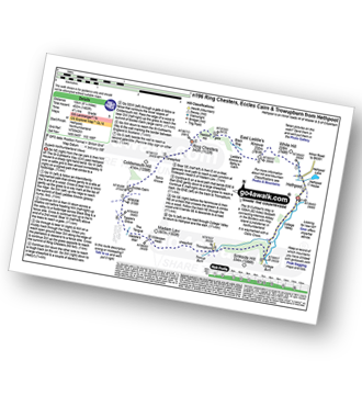
Walk n196 Ring Chesters, Eccles Cairn and Trowupburn from Hethpool

Superb Northumberland views and ancient forts

Download GPS Waypoint Data for walk n196
Download GPX Waypoint Data for walk n196
Download Map and Route Details for walk n196

Vital Statistics:

Length:8.25 miles (13 km)
Ascent:1,483ft (452m)
Time:4½ hrs
Grade:Grade 5 Walking Moderate
Walk 54 Walking Bootprint Icon

Walk n200 The Schil from Hethpool

Superb High Level Northumberland Mountain Walk

Download GPS Waypoint Data for walk n200
Download GPX Waypoint Data for walk n200
Download Map and Route Details for walk n200

Vital Statistics:

Length:13.75 miles (22 km)
Ascent:2,665ft (812m)
Time:7.75hrs
Grade:Grade 7 Walking Hard
Walk 55 Walking Bootprint Icon

Walk ny101 The Yorkshire Three Peaks from Horton in Ribblesdale

Easy walking - but very arduous, very long and with 3 big ascents

Download GPS Waypoint Data for walk ny101
Download GPX Waypoint Data for walk ny101
Download Map and Route Details for walk ny101

Vital Statistics:

Length:24 miles (38.5 km)
Ascent:5,297ft (1,614m)
Time:14 hrs
Grade:Grade 9 Walking Very Hard
Walk 56 Walking Bootprint Icon

Walk ny103 Rogan's Seat and Water Crag (Arkengarthdale) from Keld

Excellent 360 degree views

Download GPS Waypoint Data for walk ny103
Download GPX Waypoint Data for walk ny103
Download Map and Route Details for walk ny103

Vital Statistics:

Length:11 miles (17.5 km)
Ascent:2,681ft (817m)
Time:6.75hrs
Grade:Grade 7 Walking Hard
Walk 57 Walking Bootprint Icon

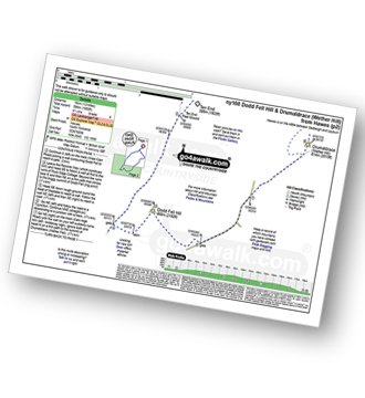
Walk ny108 Dodd Fell Hill and Drumaldrace (Wether Fell) from Hawes

Long but gentle ascents to fine views

Download GPS Waypoint Data for walk ny108
Download GPX Waypoint Data for walk ny108
Download Map and Route Details for walk ny108

Vital Statistics:

Length:12 miles (19 km)
Ascent:1,956ft (596m)
Time:6.25hrs
Grade:Grade 6 Walking Moderate
Walk 58 Walking Bootprint Icon

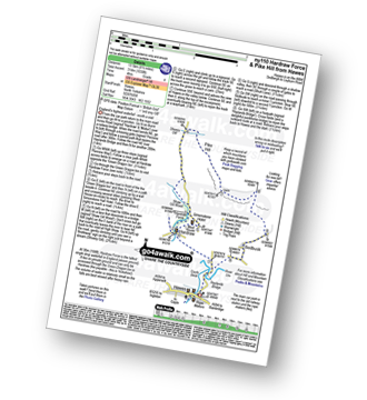
Walk ny110 Hardraw Force and Pike Hill from Hawes

England's highest waterfall - worth a visit

Download GPS Waypoint Data for walk ny110
Download GPX Waypoint Data for walk ny110
Download Map and Route Details for walk ny110

Vital Statistics:

Length:8.5 miles (13.5 km)
Ascent:1,030ft (314m)
Time:4 hrs
Grade:Grade 4 Walking Moderate
Walk 59 Walking Bootprint Icon

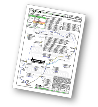
Walk ny112 Pen-y-ghent and Plover Hill from Dale Head

Majestic Pen-y-ghent and stunning Littondale

Download GPS Waypoint Data for walk ny112
Download GPX Waypoint Data for walk ny112
Download Map and Route Details for walk ny112

Vital Statistics:

Length:10 miles (16 km)
Ascent:1,663ft (506m)
Time:5 hrs
Grade:Grade 6 Walking Moderate
Walk 60 Walking Bootprint Icon

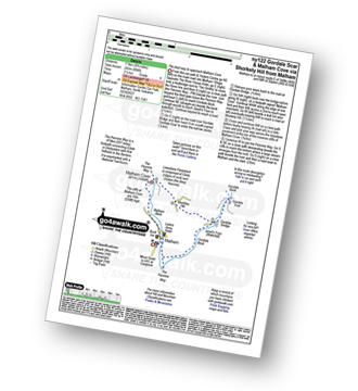
Walk ny122 Gordale Scar and Malham Cove via Shorkley Hill from Malham

The best way to approach Malham Cove

Download GPS Waypoint Data for walk ny122
Download GPX Waypoint Data for walk ny122
Download Map and Route Details for walk ny122

Vital Statistics:

Length:5 miles (8 km)
Ascent:804ft (245m)
Time:2½ hrs
Grade:Grade 4 Walking Moderate
Walk 61 Walking Bootprint Icon

Walk ny135 Fountains Fell and Darnbrook Fell from Dale Head

Superb dales views

Download GPS Waypoint Data for walk ny135
Download GPX Waypoint Data for walk ny135
Download Map and Route Details for walk ny135

Vital Statistics:

Length:11.5 miles (18.5 km)
Ascent:1,961ft (598m)
Time:6.25hrs
Grade:Grade 6 Walking Moderate
Walk 62 Walking Bootprint Icon

Walk ny143 Pen-y-ghent from Horton in Ribblesdale

One of the classic 'Yorkshire Three Peaks'

Download GPS Waypoint Data for walk ny143
Download GPX Waypoint Data for walk ny143
Download Map and Route Details for walk ny143

Vital Statistics:

Length:6.25 miles (10 km)
Ascent:1,640ft (489m)
Time:4 hrs
Grade:Grade 5 Walking Moderate
Walk 63 Walking Bootprint Icon

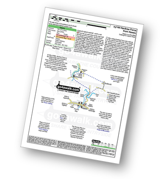
Walk ny144 Hardraw Force from Hawes

England's highest waterfall - well worth a visit

Download GPS Waypoint Data for walk ny144
Download GPX Waypoint Data for walk ny144
Download Map and Route Details for walk ny144

Vital Statistics:

Length:3.75 miles (6 km)
Ascent:295ft (90m)
Time:1.75hrs
Grade:Grade 2 Walking Easy
Walk 64 Walking Bootprint Icon

Walk ny145 Tan Hill and Robert's Seat from Keld

Where The Pennine Way meets The Coast to Coast walk

Download GPS Waypoint Data for walk ny145
Download GPX Waypoint Data for walk ny145
Download Map and Route Details for walk ny145

Vital Statistics:

Length:11.25 miles (18 km)
Ascent:2,091ft (637m)
Time:6.25hrs
Grade:Grade 6 Walking Moderate
Walk 65 Walking Bootprint Icon

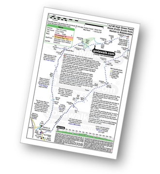
Walk ny146 High Green Field Knott (Cosh Knott) from Horton in Ribblesdale

Lovely and quiet - though can be boggy in places

Download GPS Waypoint Data for walk ny146
Download GPX Waypoint Data for walk ny146
Download Map and Route Details for walk ny146

Vital Statistics:

Length:10.5 miles (17 km)
Ascent:1,566ft (477m)
Time:5½ hrs
Grade:Grade 6 Walking Moderate
Walk 66 Walking Bootprint Icon

Walk ny149 Great Shunner Fell from Hawes

The Pennine Way - and superb views of Hawes

Download GPS Waypoint Data for walk ny149
Download GPX Waypoint Data for walk ny149
Download Map and Route Details for walk ny149

Vital Statistics:

Length:13.75 miles (22 km)
Ascent:2,330ft (710m)
Time:7.25hrs
Grade:Grade 7 Walking Hard
Walk 67 Walking Bootprint Icon

Walk ny158 Pen-y-ghent and Plover Hill from Horton in Ribblesdale

One of the classic 'Yorkshire Three Peaks'

Download GPS Waypoint Data for walk ny158
Download GPX Waypoint Data for walk ny158
Download Map and Route Details for walk ny158

Vital Statistics:

Length:8.75 miles (14 km)
Ascent:1,827ft (557m)
Time:5 hrs
Grade:Grade 6 Walking Moderate
Walk 68 Walking Bootprint Icon

Walk ny159 Gordale Scar and Malham Cove from Malham

Magnificent Malham Cove & stunning Gordale Scar - a classic

Download GPS Waypoint Data for walk ny159
Download GPX Waypoint Data for walk ny159
Download Map and Route Details for walk ny159

Vital Statistics:

Length:7.5 miles (12 km)
Ascent:1,296ft (395m)
Time:4 hrs
Grade:Grade 5 Walking Moderate
Walk 69 Walking Bootprint Icon

Walk ny248 Kisdon and Keld from Muker

Moorland and gorge, with stunning waterfalls

Download GPS Waypoint Data for walk ny248
Download GPX Waypoint Data for walk ny248
Download Map and Route Details for walk ny248

Vital Statistics:

Length:7 miles (11 km)
Ascent:1,345ft (410m)
Time:3.75hrs
Grade:Grade 5 Walking Moderate
Walk 70 Walking Bootprint Icon

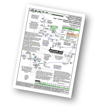
Walk ny321 The Yorkshire Three Peaks Challenge as a 2 day walk - Day 1 from Horton in Ribblesdale (New 2013 Route)

Do The Yorkshire Three Peaks over a weekend

Download GPS Waypoint Data for walk ny321
Download GPX Waypoint Data for walk ny321
Download Map and Route Details for walk ny321

Vital Statistics:

Length:10.25 miles (16.5 km)
Ascent:2,136ft (651m)
Time:6 hrs
Grade:Grade 6 Walking Moderate
Walk 71 Walking Bootprint Icon

Walk ny331 The Yorkshire Three Peaks Challenge as a 3 day walk - Day 1 from Horton in Ribblesdale (New 2013 Route)

The Yorkshire Three Peaks - the civilised way

Download GPS Waypoint Data for walk ny331
Download GPX Waypoint Data for walk ny331
Download Map and Route Details for walk ny331

Vital Statistics:

Length:10.25 miles (16.5 km)
Ascent:2,136ft (651m)
Time:6 hrs
Grade:Grade 6 Walking Moderate
Walk 72 Walking Bootprint Icon

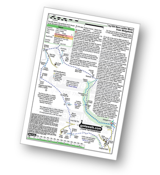
Walk wy104 New Laither Moor from Midgehole

Fine waterfall and wild moorland

Download GPS Waypoint Data for walk wy104
Download GPX Waypoint Data for walk wy104
Download Map and Route Details for walk wy104

Vital Statistics:

Length:10.5 miles (17 km)
Ascent:1,900ft (579m)
Time:5.75hrs
Grade:Grade 6 Walking Moderate
Walk 73 Walking Bootprint Icon

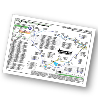
Walk wy109 Standedge (Close Moor) from Marsden

High wild moorland views

Download GPS Waypoint Data for walk wy109
Download GPX Waypoint Data for walk wy109
Download Map and Route Details for walk wy109

Vital Statistics:

Length:8.5 miles (13.5 km)
Ascent:1,319ft (405m)
Time:4½ hrs
Grade:Grade 5 Walking Moderate
Walk 74 Walking Bootprint Icon

Walk wy110 Stoodley Pike and Warlands Reservoir from Lobb Mil, Todmorden

Great views followed by a canal side stroll

Download GPS Waypoint Data for walk wy110
Download GPX Waypoint Data for walk wy110
Download Map and Route Details for walk wy110

Vital Statistics:

Length:1.75 miles (17 km)
Ascent:1,533ft (467m)
Time:5½ hrs
Grade:Grade 6 Walking Moderate
Walk 75 Walking Bootprint Icon

Walk wy117 Gorple Reservoir and Widdop Reservoir

High moorland walk

Download GPS Waypoint Data for walk wy117
Download GPX Waypoint Data for walk wy117
Download Map and Route Details for walk wy117

Vital Statistics:

Length:5 miles (8 km)
Ascent:752ft (229m)
Time:2½ hrs
Grade:Grade 3 Walking Easy
Walk 76 Walking Bootprint Icon

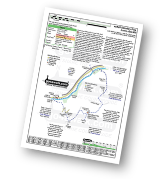
Walk wy126 Stoodley Pike and Callis Wood from Lobb Mill

Easy ascent to fine views followed by a canal side stroll

Download GPS Waypoint Data for walk wy126
Download GPX Waypoint Data for walk wy126
Download Map and Route Details for walk wy126

Vital Statistics:

Length:6 miles (10.5 km)
Ascent:1,237ft (377m)
Time:3.75hrs
Grade:Grade 4 Walking Moderate
Walk 77 Walking Bootprint Icon

Walk wy139 Blackstone Edge and Dog Hill (Rishworth Moor) from Ryburn Reservoir

Rugged gritstone country and wild moors

Download GPS Waypoint Data for walk wy139
Download GPX Waypoint Data for walk wy139
Download Map and Route Details for walk wy139

Vital Statistics:

Length:11.25 miles (18 km)
Ascent:1,631ft (497m)
Time:5.75hrs
Grade:Grade 6 Walking Moderate
Walk 78 Walking Bootprint Icon

Walk wy147 Heptonstall Moor and The Rochdale Canal from Hebden bridge

Canal towpaths and high moorland

Download GPS Waypoint Data for walk wy147
Download GPX Waypoint Data for walk wy147
Download Map and Route Details for walk wy147

Vital Statistics:

Length:5.75 miles (9 km)
Ascent:1,113ft (339m)
Time:3.25hrs
Grade:Grade 4 Walking Moderate
Walk 79 Walking Bootprint Icon

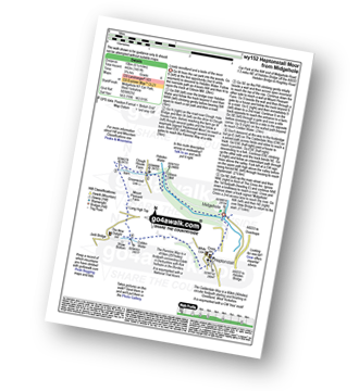
Walk wy152 Heptonstall Moor from Midgehole

Lovely woodland and a taste of the moor

Download GPS Waypoint Data for walk wy152
Download GPX Waypoint Data for walk wy152
Download Map and Route Details for walk wy152

Vital Statistics:

Length:6.25 miles (10 km)
Ascent:1,451ft (442m)
Time:3.75hrs
Grade:Grade 4 Walking Moderate
Walk 80 Walking Bootprint Icon

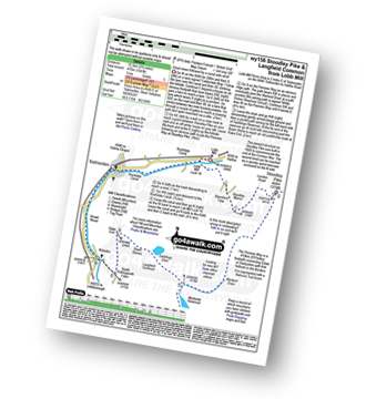
Walk wy156 Stoodley Pike and Langfield Common from Lobb Mill

Great views and a canal side stroll

Download GPS Waypoint Data for walk wy156
Download GPX Waypoint Data for walk wy156
Download Map and Route Details for walk wy156

Vital Statistics:

Length:10.25 miles (16.5 km)
Ascent:1,543ft (470m)
Time:5.25hrs
Grade:Grade 5 Walking Moderate
Walk 81 Walking Bootprint Icon

Walk wy163 Stoodley Pike and Erringden Moor from Lobb Mill

Great views followed by a canal side stroll

Download GPS Waypoint Data for walk wy163
Download GPX Waypoint Data for walk wy163
Download Map and Route Details for walk wy163

Vital Statistics:

Length:10 miles (16 km)
Ascent:1,526ft (465m)
Time:5 hrs
Grade:Grade 5 Walking Moderate
Walk 82 Walking Bootprint Icon

Walk wy176 Black Hill (Soldier's Lump) and Black Moss Reservior from Wessenden Head

The new & the old Pennine Way

Download GPS Waypoint Data for walk wy176
Download GPX Waypoint Data for walk wy176
Download Map and Route Details for walk wy176

Vital Statistics:

Length:9.75 miles (15.5 km)
Ascent:1,902ft (580m)
Time:5½ hrs
Grade:Grade 6 Walking Moderate

See this list of walks, routes & maps in:

Grade Order | Length Order | Time Order | Walk Number or Start Location Order
NB. To reverse (toggle) this order, click Grade Order again


Do not miss our pick of the Best Walks in the UK


Follow go4awalk.com on Twitter Follow go4awalk.com on Facebook


Home


Find new Friends to go walking with

Walk all 214 Wainwrights in just 59 Walks. Download GPS Waypoints - Great Walks you must not miss!

Walk The Yorkshire Three Peaks Challenge Walk - All the Latest Route Information, GPS Waypoints and Split Times to keep you on Schedule

Walk The British Three Peaks Challenge Walk - All the Latest Route Information and GPS Waypoints

See our pick of The Best Walks in The Lake District - Great Walks you must not miss!

Walk our pick of the Best Lake District Ridge Walks - Great Walks you must not miss!

Walk our pick of the Best Lake District Walks to do in the rain - Great Walks you must not miss!
Walk our pick of The Best Walks in Snowdonia - Great Walks you must not miss!
Walk our pick of The Best Ridge Walks in Wales - Walks you must not miss!

Walk our pick of The Best Walks in The Brecon Beacons - Great Walks you must not miss!

Walk our pick of The Best Walks in The Yorkshire Dales - Walks you must not miss!

Walk our pick of The Best Walks in The Peak District - Walks you must not miss!

Walk our pick of The Best Walks in The Forest of Bowland - Walks you must not miss!

Walk our pick of The Best Walks in Shropshire - Walks you must not miss!

Walk our pick of The Best Walks in Cheshire - Walks you must not miss!

Walk our pick of The Best Walks in Lancashire - Walks you must not miss!

Not sure where to walk next? Try Peak Bagging - Great Walks you must not miss!

Not sure where to walk next? Walk part of a National Trail - Great Walks you must not miss!

Walks with Downloadable and Uploadable GPS Waypoint Data

Walking Kit and Gear Tested by Walkers

Full Site Search
Do not miss our pick of the Best Walks in Britain