15 easy to follow walk route maps of all grades that include part of The Monsal Trail
The Monsal Trail is a 16km (10 miles) linear footpath connecting Blackwell Visitor Car Park, Wye Dale in Derbyshire, England with Coombs Road, Bakewell in Derbyshire, England.
Originally part of a line connecting St Pancras with Manchester it was closed to rail traffic in 1968.
The Monsal Trail is waymarked by name posts.
Not familiar with The Monsal Trail?
See these 15 walks that include part of The Monsal Trail on an interactive Google Map
See this list of walks, routes & maps in:
Grade Order | Length Order | Time Order | Walk Number or Start Location Order
NB. To reverse (toggle) this order, click Grade Order again

   |
Vital Statistics:
| Length: | 6 miles (9.5 km) |
| Ascent: | 515ft (157m) |
| Time: | 2.75hrs |
| Grade: |  |

Route Summary:
Miller's Dale Station - The Monsal Trail - The River Wye - Miller's Dale - Water-cum-Jolly Dale - Cressbrook Mill - The River Wye - Water-cum-Jolly Dale - Litton Mill - Bellamy's Bank - Miller's Dale Station


|
Vital Statistics:
| Length: | 7.25 miles (11.5 km) |
| Ascent: | 1,411ft (430m) |
| Time: | 4 hrs |
| Grade: |  |

Route Summary:
Tideswell - The Limestone Way - Monksdale House - Monks Dale - Miller's Dale Station - The Monsal Trail - Miller's Dale - The River Wye - Litton Mill - Tideswell Dale - Tideswell

|
Vital Statistics:
| Length: | 6 miles (9.5 km) |
| Ascent: | 532ft (162m) |
| Time: | 2.75hrs |
| Grade: | |
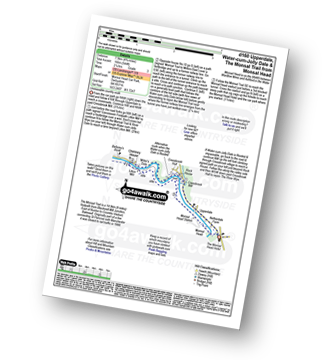
Route Summary:
Monsal Head - Upperdale - The River Wye - Cressbrook Mill - The River Wye - Water-cum-Jolly Dale - Litton Mill - The Monsal Trail - Water-cum-Jolly Dale - Monsal Head Viaduct - Monsal Head

|
Vital Statistics:
| Length: | 12.75 miles (20.5 km) |
| Ascent: | 1,959ft (597m) |
| Time: | 6.75hrs |
| Grade: |  |

Route Summary:
Peak Forest - Dam Dale - Hay Dale - Dale Head - Peter Dale - Monk's Dale - Miller's Dale - The Monsal Trail - Litton Mill - Tideswell Dale - Tideswell - Brook Bottom (Tideswell) - Batham Gate - Old Peak - Peak Forest

|
Vital Statistics:
| Length: | 8.5 miles (13.5 km) |
| Ascent: | 1,749ft (533m) |
| Time: | 5.75hrs |
| Grade: | |

Route Summary:
Ashford In The Water - Fin Cop - Monsal Head - Upperdale - The River Wye - The Monsal Trail - Monsal Head Viaduct - Monsal Dale - White Lodge - Great Shackleton Wood - Ashford In The Water

|
Vital Statistics:
| Length: | 4 miles (6.5 km) |
| Ascent: | 942ft (287m) |
| Time: | 2½ hrs |
| Grade: | |
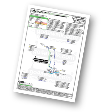
Route Summary:
Miller's Dale Station - Monks Dale - The Limestone Way - Monksdale House - The River Wye - Millers Dale - The Monsal Trail - Miller's Dale Station

|
Vital Statistics:
| Length: | 9.75 miles (15.5 km) |
| Ascent: | 1,431ft (436m) |
| Time: | 5 hrs |
| Grade: | |

Route Summary:
Miller's Dale Station - Monks Dale - The Limestone Way - Tideswell - Litton - Tansley Dale - Cressbrook Dale - Cressbrook - The Monsal Trail - Water-cum-Jolly Dale - Litton Mill - Miller's Dale - Miller's Dale Station

|
Vital Statistics:
| Length: | 7.75 miles (12.5 km) |
| Ascent: | 840ft (256m) |
| Time: | 3.75hrs |
| Grade: |  |

Route Summary:
Miller's Dale Station - The Monsal Trail - The River Wye - Miller's Dale - Water-cum-Jolly Dale - Monsal Head Viaduct - Monsal Head - Upperdale - Cressbrook Mill - The River Wye - Water-cum-Jolly Dale - Litton Mill - Bellamy's Bank - Miller's Dale Station

|
Vital Statistics:
| Length: | 10 miles (16 km) |
| Ascent: | 1,578ft (481m) |
| Time: | 5.25hrs |
| Grade: | |

Route Summary:
Bakewell - The Monsal Trail - Hassop Station. Great Longstone Station - Little Longstone - Monsal Head - Monsal Dale - River Wye - Great Shackleton Wood - Magpie Sough - Ashford In The Water - River Wye - Holme Bridge - Bakewell

|
Vital Statistics:
| Length: | 7.25 miles (11.5 km) |
| Ascent: | 1,480ft (451m) |
| Time: | 4 hrs |
| Grade: | |

Route Summary:
Ashford In The Water - Monsal Head - Upperdale - The River Wye - The Monsal Trail - Monsal Head Viaduct - Monsal Dale - White Lodge - Great Shackleton Wood - Ashford In The Water

|
Vital Statistics:
| Length: | 6 miles (9.5 km) |
| Ascent: | 1,175ft (358m) |
| Time: | 3½ hrs |
| Grade: | |
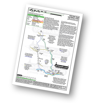
Route Summary:
Miller's Dale Station - The Monsal Trail - River Wye - Wormhill - Dale Head - Peter Dale - Monk's Dale - Miller's Dale - Miller's Dale Station

|
Vital Statistics:
| Length: | 6.5 miles (10.5 km) |
| Ascent: | 1,063ft (324m) |
| Time: | 3½ hrs |
| Grade: | |
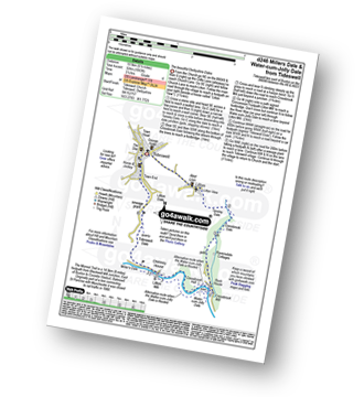
Route Summary:
Tideswell - Litton - Tansley Dale - Cressbrook Dale - Cressbrook - The Monsal Trail - Water-cum-Jolly Dale - Litton Mill - Tideswell Dale - Litton Dale - Tideswell

|
Vital Statistics:
| Length: | 8.5 miles (13.5 km) |
| Ascent: | 1,812ft (555m) |
| Time: | 5 hrs |
| Grade: | |

Route Summary:
Wye Dale - Blackwell Junction - The Monsal Trail - Chee Dale - Miller's Dale Station - Miller's Dale - Priestcliffe - Taddington - Sough Top - Chelmorton - The Midshires Way - Burrs Farm - Marl Dale - Topley Pike Quarry - Wye Dale

|
Vital Statistics:
| Length: | 15.25 miles (24.5 km) |
| Ascent: | 1,759ft (536m) |
| Time: | 7.25hrs |
| Grade: |  |

Route Summary:
Wye Dale - The River Wye - Blackwell Junction - The Monsal Trail - Chee Dale - Miller's Dale Station - Miller's Dale - Litton Mill - Water-cum-Jolly Dale - Cressbrook - Monsal Dale - White Lodge - Deep Dale - Taddington - Sough Top - Chelmorton - Burrs Farm - Marl Dale - Wye Dale

|
Vital Statistics:
| Length: | 8.75 miles (14 km) |
| Ascent: | 1,703ft (519m) |
| Time: | 5 hrs |
| Grade: | |

Route Summary:
Ashford In The Water - Monsal Head - Upperdale - The River Wye - The Monsal Trail - Monsal Head Viaduct - Monsal Dale - White Lodge - Deep Dale - Sheldon - Ashford In The Water
See this list of walks, routes & maps in:
Grade Order | Length Order | Time Order | Walk Number or Start Location Order
NB. To reverse (toggle) this order, click Grade Order again
Not familiar with The Monsal Trail?
See these 15 walks that include part of The Monsal Trail on an interactive Google Map





