39 easy to follow walk route maps of all grades that include part of The Cumbria Way
The Cumbria Way is a 112km (70 miles) linear footpath connecting Ulverston in Cumbria, England with Carlisle in Cumbria, England.
The Cumbria Way is waymarked by named posts.
Not familiar with The Cumbria Way?
See these 39 walks that include part of The Cumbria Way on an interactive Google Map
See this list of walks, routes & maps in:
Grade Order | Length Order | Time Order | Walk Number or Start Location Order
NB. To reverse (toggle) this order, click Grade Order again

   |
Vital Statistics:
| Length: | 9.5 miles (15 km) |
| Ascent: | 2,140ft (652m) |
| Time: | 5½ hrs |
| Grade: |  |
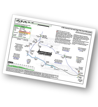
Route Summary:
Stone Ends Farm - Apronful of Stones - Rake Trod - Further Gill Sike - Scurth - The Trough - Carrock Fell - Round Knott (Caldbeck) - Miton Hill (Caldbeck) - Red Gate (Track) - High Pike (Caldbeck) - Hare Stones - Great Lingy Hill - Miller Moss - Lingy Hut - Grainsgill Beck - The Cumbria Way - River Caldew - Swineside - Mosedale (Mungrisdale) - Stone Ends Farm


|
Vital Statistics:
| Length: | 8.25 miles (13 km) |
| Ascent: | 1,031ft (314m) |
| Time: | 4 hrs |
| Grade: |  |
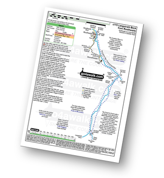
Route Summary:
Rosthwaite - Wainwright's Coast to Coast Walk - Stonethwaite - Stonethwaite Beck - Galleny Force - Langstrath Beck - The Cumbria Way - Greenup Gill - Stonethwaite - Rosthwaite

|
Vital Statistics:
| Length: | 6 miles (9.5 km) |
| Ascent: | 853ft (260m) |
| Time: | 3 hrs |
| Grade: |  |
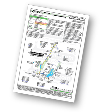
Route Summary:
Tom Gill - Tom Gill Waterfall - Tarn Hows - Rose Castle Plantation - Torver Intake - The Cumbria Way - Tom Heights - Iron Keld - Low Arnside - The Cumbria Way - Oxen Fell High Cross - Man Crag - Yew Tree Tarn - Harry Guards Wood - Yew Tree Farm - Glen Mary Bridge - Tom Gill

|
Vital Statistics:
| Length: | 11.25 miles (18 km) |
| Ascent: | 3,604ft (1,098m) |
| Time: | 7.75hrs |
| Grade: |  |
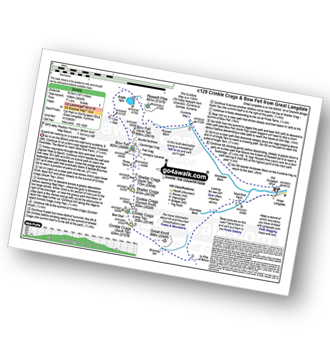
Route Summary:
Great Langdale - The Old Dungeon Ghyll - Stool End Farm - Oxendale - Oxendale Beck - Browney Gill - Red Tarn (Langdale) - Great Knott - Crinkle Crags (South Top) - Crinkle Crags (Long Top) - Crinkle Crags (Gunson Knott) - Shelter Crags - Shelter Crags (North Top) - Three Tarns - Climbers' Traverse (optional) - Flat Crag - Cambridge Crag - Bowfell Buttress - Bow Fell (Bowfell) - Bow Fell (Bowfell) (North Top) - Ore Gap - Angle Tarn (Langdale) - Rossett Pike - Rossett Beck - Mickleden - Mickleden Beck - The Cumbria Way - The Old Dungeon Ghyll - Great Langdale

|
Vital Statistics:
| Length: | 5.5 miles (9 km) |
| Ascent: | 1,384ft (422m) |
| Time: | 3½ hrs |
| Grade: | |
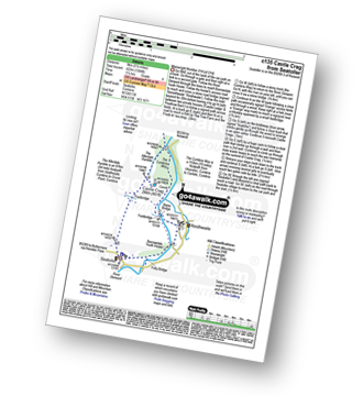
Route Summary:
Seatoller - The Allerdale Ramble - Longthwaite - Rosthwaite - New Bridge - The River Derwent - The Cumbria Way - Castle Crag - Seatoller

|
Vital Statistics:
| Length: | 6 miles (9.5 km) |
| Ascent: | 1,861ft (567m) |
| Time: | 4½ hrs |
| Grade: |  |
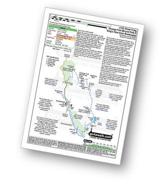
Route Summary:
Rosthwaite - The Cumbria Way - Lingy End - Willygrass Gill - Dock Tarn - Great Crag - Puddingstone Bank - Jopplety How - Joppletyhow Moss - Grange Fell (Brund Fell) - King's How - Rosthwaite

|
Vital Statistics:
| Length: | 7.75 miles (12.5 km) |
| Ascent: | 1,758ft (536m) |
| Time: | 4.75hrs |
| Grade: | |
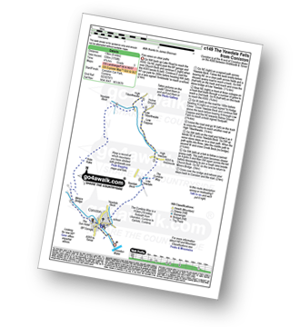
Route Summary:
Coniston - The Cumbria Way - Low Yewdale - Yewdale Beck - High Yewdale - Yew Band - Low Tilberthwaite - High Tilberthwaite - Low Coppice - Tilberthwaite Gill - Crook Beck - Hole Rake - Miners Bridge - Church Beck - Coniston

|
Vital Statistics:
| Length: | 9 miles (14.5 km) |
| Ascent: | 2,624ft (800m) |
| Time: | 6 hrs |
| Grade: | |
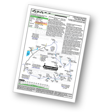
Route Summary:
Over Water - Orthwaite - Orthwaite Bank - Uldale Fells - Great Cockup - Trusmadoor - Meal Fell - Great Sca Fell - Little Sca Fell - Brae Fell - Broad Moss - Lowthwaite Fell - Longlands Fell - The Cumbria Way - Longlands - Lowthwaite - Over Water

|
Vital Statistics:
| Length: | 5.5 miles (9 km) |
| Ascent: | 893ft (272m) |
| Time: | 3 hrs |
| Grade: | |
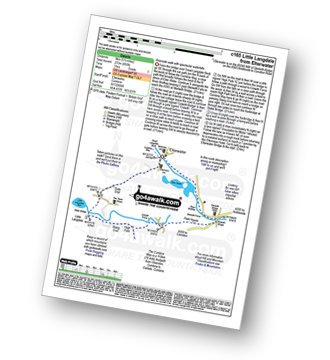
Route Summary:
Elterwater - The Cumbria Way - Elter Water - Skelwith Force - River Brathay - Skelwith Bridge - Low Park - High Park - High Colwith - Colwith Force - Stang End - Little Langdale - Slater Bridge - Little Langdale Tarn - Dale End - Elterwater

|
Vital Statistics:
| Length: | 10 miles (16 km) |
| Ascent: | 1,364ft (416m) |
| Time: | 5 hrs |
| Grade: | |
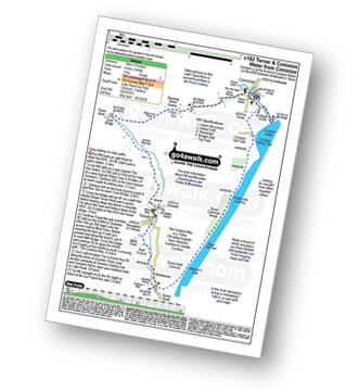
Route Summary:
Coniston - Walna Scar Road - Banishead - Torver Beck - Torver - Beckstones - The Cumbria Way - Coniston Water - Coniston Sailing Club - Coniston Hall - Coniston

|
Vital Statistics:
| Length: | 7 miles (11 km) |
| Ascent: | 1,860ft (567m) |
| Time: | 4½ hrs |
| Grade: | |
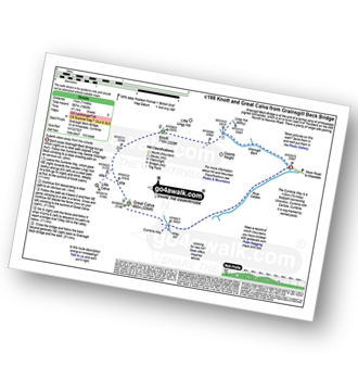
Route Summary:
Grainsgill Bridge - Swineside - Grainsgill Beck - Knott (Uldale Fells) - Little Calva - Great Calva - The Cumbria Way - Wiley Beck - River Caldew - Burdell - Gill - Wet Swine Gill - Grainsgill Beck - Swineside.

|
Vital Statistics:
| Length: | 9 miles (14.5 km) |
| Ascent: | 2,780ft (847m) |
| Time: | 6 hrs |
| Grade: | |
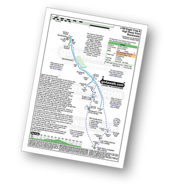
Route Summary:
Rosthwaite - Stonethwaite - Wainwright's Coast to Coast Walk - Stonethwaite Beck - Galleny Force - The Cumbria Way - Langstrath Beck - Eagle Crag - Sergeant's Crag - High Raise (Langdale) - Low White Stones - Greenup Edge - Lining Crag - Greenup Gill - Stonethwaite Beck - Stonethwaite - Rosthwaite

|
Vital Statistics:
| Length: | 12.5 miles (20 km) |
| Ascent: | 4,684ft (1,428m) |
| Time: | 9.25hrs |
| Grade: |  |
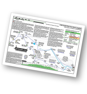
Route Summary:
Great Langdale - The Old Dungeon Ghyll - The Cumbria Way - Mickleden Beck - Mickleden - Rossett Beck - Rossett Pike - Angle Tarn (Langdale) - Esk Hause - Great End - Ill Crag - Broad Crag - Scafell Pike - Esk Hause - Esk Pike - Ore Gap - Bow Fell (Bowfell) (North Top) - Bow Fell (Bowfell) - Bowfell Buttress - Cambridge Crag - Flat Crag - Climbers' Traverse (optional) - Three Tarns - The Band - Oxendale - Stool End Farm - The Old Dungeon Ghyll - Great Langdale

|
Vital Statistics:
| Length: | 14 miles (22.5 km) |
| Ascent: | 2,978ft (908m) |
| Time: | 8.25hrs |
| Grade: | |
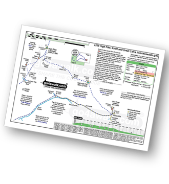
Route Summary:
Stone Ends Farm - Apronful of Stones - Rake Trod - Further Gill Sike - Scurth - The Trough - Carrock Fell - Round Knott (Caldbeck) - Miton Hill (Caldbeck) - Red Gate (Track) - High Pike (Caldbeck) - Hare Stones - Great Lingy Hill - Miller Moss - Lingy Hut - Grainsgill Beck - Knott (Uldale Fells) - Litle Calva - Great Calva - The Cumbria Way - Wiley Beck - River Caldew - Burdell - Gill - Wet Swine Gill - Grainsgill Beck - Swineside - Mosedale (Mungrisdale) - Stone Ends Farm

|
Vital Statistics:
| Length: | 9.75 miles (15.5 km) |
| Ascent: | 886ft (270m) |
| Time: | 4.25hrs |
| Grade: | |
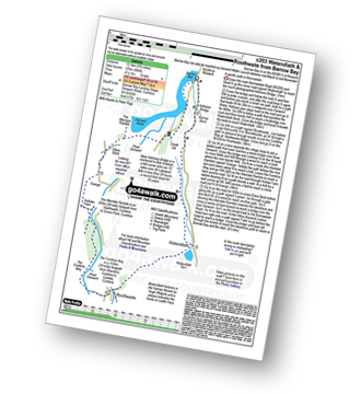
Route Summary:
Barrow Bay - Derwent Water - Ashness Bridge - Surprise View - Watendlath - Bracken Platt - Puddingstone Bank - The Cumbria Way - Rosthwaite - River Derwent - High Hows Wood - Low Hows Wood - Broadslack Gill - Hollows Farm - Borrowdale Gates - Ellers Beck Lodore Falls - Barrow Bay - Derwent Water

|
Vital Statistics:
| Length: | 5.75 miles (9 km) |
| Ascent: | 909ft (277m) |
| Time: | 3 hrs |
| Grade: | |
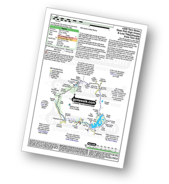
Route Summary:
Tom Gill - Tom Gill Waterfall - Tarn Hows - Rose Castle Plantation - Torver Intake - The Cumbria Way - Tom Heights - Arnside Intake - Stone Chair Hill - Griddle How - Oxen Fell High Cross - High Oxenfell Farm - Wythe Howe - Wythebank - Hodge Close Quarry - Bakestone Barrow Wood - Holme Ground - Low Tilberthwaite - Yew Bank - Shepherd's Bridge - Yew Tree Farm - Glen Mary Bridge - Tom Gill

|
Vital Statistics:
| Length: | 8.25 miles (13 km) |
| Ascent: | 3,306ft (1,008m) |
| Time: | 6.25hrs |
| Grade: | |
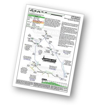
Route Summary:
Keswick - Millbeck - The Allerdale Ramble - Doups - White Stones - Carl Side - Longside Edge - Long Side - Skiddaw - Little Man (Skiddaw) - The Cumbria Way - Applethwaite - The Allerdale Ramble - Millbeck - Nr Keswick.

|
Vital Statistics:
| Length: | 7 miles (11 km) |
| Ascent: | 1,976ft (602m) |
| Time: | 4½ hrs |
| Grade: | |
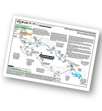
Route Summary:
Elterwater - Elterwater Bridge - Dale End - Lingmoor Fell - Fat Man's Agony (or Fat Man's Struggle) - Side Pike - Great Langdale - Side House Farm - The Cumbria Way - Oak Howe - Chapel Stile - Elterwater Bridge - Elterwater

|
Vital Statistics:
| Length: | 6.25 miles (10 km) |
| Ascent: | 941ft (287m) |
| Time: | 3 hrs |
| Grade: | |
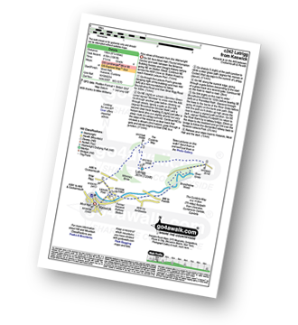

|
Vital Statistics:
| Length: | 11.25 miles (18 km) |
| Ascent: | 3,371ft (1,027m) |
| Time: | 7½ hrs |
| Grade: | |
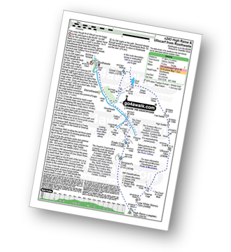
Route Summary:
Rosthwaite - Stonethwaite - Wainwright's Coast to Coast Walk - Stonethwaite Beck - Galleny Force - The Cumbria Way - Langstrath Beck - Eagle Crag - Sergeant's Crag - High Raise (Langdale) - Low White Stones - Greenup Edge - Ullscarf - High Saddle (Coldbarrow Fell) - Low Saddle (Coldbarrow Fell) - Lord's How - Dock Tarn - Willygrass Gill - Great Crag - Rosthwaite

|
Vital Statistics:
| Length: | 9 miles (14 km) |
| Ascent: | 131ft (40m) |
| Time: | 3.25hrs |
| Grade: |  |
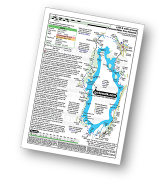
Route Summary:
Keswick - The Cumbria Way - The Allerdale Ramble - Portinscale - Nichol End - Derwent Water - Hawes End - Brandlehow Point - Park Neb - Strutta Wood - Calfclose Bay - Stable Hills - Friar's Crag - Keswick

|
Vital Statistics:
| Length: | 7.75 miles (12.5 km) |
| Ascent: | 2,419ft (737m) |
| Time: | 5.25hrs |
| Grade: | |
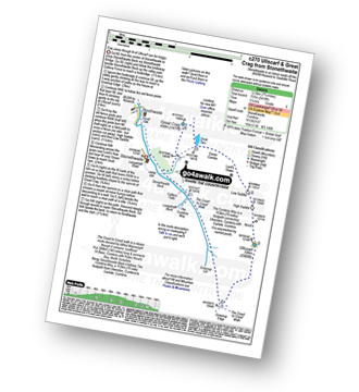
Route Summary:
Stonethwaite - Stonethwaite Bridge - Stonethwaite Beck - The Cumbria Way - Wainwright's Coast to Coast Walk - Galleny Force - Greenup Gill - Lining Crag - Greenup Edge - Ullscarf - High Saddle (Coldbarrow Fell) - Low Saddle (Coldbarrow Fell) - Lord's How - Green Combe - Dock Tarn - Great Crag - Willygrass Gill - Stonethwaite

|
Vital Statistics:
| Length: | 11.5 miles (18.5 km) |
| Ascent: | 3,214ft (980m) |
| Time: | 7½ hrs |
| Grade: | |
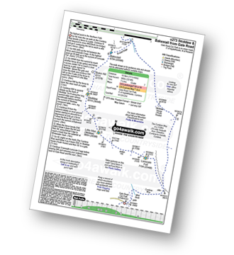
Route Summary:
Keswick - Gale Road - Lonscale Fell - Jenkin Hill - Little Man (Skiddaw) - Skiddaw - Bakestall - Birkett Edge - Whitewater Dash - Back O' Skiddaw - The Cumbria Way - Skiddaw House - Gale Road (Underscar) Nr Keswick.

|
Vital Statistics:
| Length: | 5.25 miles (8.5 km) |
| Ascent: | 1,099ft (335m) |
| Time: | 3 hrs |
| Grade: | |
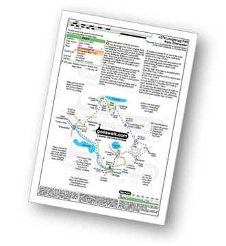
Route Summary:
Elterwater - Walthwaite Common - Huntingstile Crag - Red Bank Wood - Loughrigg Terrace - Loughrigg Fell - Ivy Crag - Loughrigg Tarn - Tarn Foot - Skelwith Bridge - River Brathay - Skelwith Force - The Cumbria Way - Elter Water - Elterwater

|
Vital Statistics:
| Length: | 8.25 miles (13 km) |
| Ascent: | 2,924ft (891m) |
| Time: | 6 hrs |
| Grade: | |
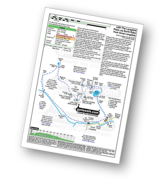
Route Summary:
Great Langdale - The New Dungeon Ghyll - Stickle Ghyll - Stickle Tarn - North Rake - The Langdale Pikes - Pavey Ark - Thunacar Knott - Harrison Stickle - Loft Crag - Pike of Stickle (Pike O' Stickle) - Martcrag Moor - Stake Pass - The Cumbria Way - Stake Gill - Mickleden - Mickleden Beck - The New Dungeon Ghyll - Great Langdale

|
Vital Statistics:
| Length: | 7.75 miles (12.5 km) |
| Ascent: | 2,198ft (670m) |
| Time: | 5 hrs |
| Grade: | |
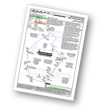
Route Summary:
Fell Side - Dale Beck - Brae Fell - Little Sca Fell - Great Sca Fell - Knott (Uldale Fells) - Grainsgill Beck - The Cumbria Way - Lingy Hut - Miller Moss - Great Lingy Hill - Hare Stones - High Pike (Caldbeck) - Long Grain Beck - Fell Side

|
Vital Statistics:
| Length: | 9.75 miles (15.5 km) |
| Ascent: | 3,529ft (1,076m) |
| Time: | 7 hrs |
| Grade: | |
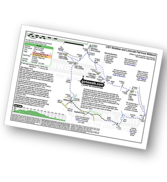
Route Summary:
Keswick - Millbeck - The Allerdale Ramble - Doups - White Stones - Carl Side - Longside Edge - Long Side - Skiddaw - Little Man (Skiddaw) - Jenkin Hill - Lonscale Fell - Lonscale Crags - The Cumbria Way - Applethwaite - The Allerdale Ramble - Millbeck - Nr Keswick.

|
Vital Statistics:
| Length: | 12 miles (19 km) |
| Ascent: | 3,502ft (1,067m) |
| Time: | 7.75hrs |
| Grade: | |
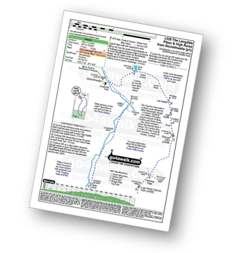
Route Summary:
Stonethwaite - Wainwright's Coast to Coast Walk - Stonethwaite Beck - Galleny Force - The Cumbria Way - Langstrath Beck - Stake Pass - Pike of Stickle (Pike O' Stickle) - Harrison Stickle - Thunacar Knott - High Raise (Langdale) - Low White Stones - Greenup Edge - Ullscarf - Low Saddle (Coldbarrow Fell) - Willygrass Gill - Dock Tarn.

|
Vital Statistics:
| Length: | 2 miles (3 km) |
| Ascent: | 413ft (126m) |
| Time: | 1 hrs |
| Grade: |  |
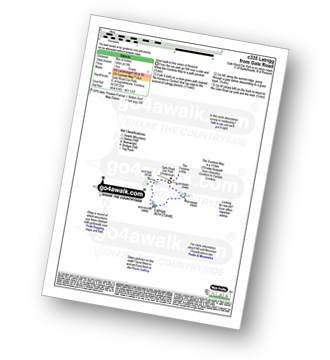
Route Summary:
Keswick - Gale Road (Underscar) - The Cumbria Way - Latrigg - Gale Road (Underscar) - Nr Keswick.

|
Vital Statistics:
| Length: | 12.25 miles (19.5 km) |
| Ascent: | 3,781ft (1,152m) |
| Time: | 8½ hrs |
| Grade: | |
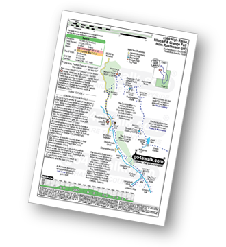
Route Summary:
Rosthwaite - The Cumbria Way - Stonethwaite - Wainwright's Coast to Coast Walk - Stonethwaite Beck - Galleny Force - The Cumbria Way - Langstrath Beck - Eagle Crag - Sergeant's Crag - High Raise (Langdale) - Low White Stones - Greenup Edge - Ullscarf - Low Saddle (Coldbarrow Fell) - Lord's How - Dock Tarn - Great Crag - Puddingstone Bank - Jopplety How - Joppletyhow Moss - Grange Fell (Brund Fell) - King's How - Rosthwaite

|
Vital Statistics:
| Length: | 9 miles (14.5 km) |
| Ascent: | 3,459ft (1,054m) |
| Time: | 6.75hrs |
| Grade: | |
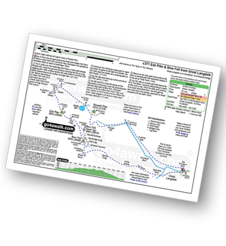
Route Summary:
Great Langdale - Old Dungeon Ghyll - The Cumbria Way - Mickleden Beck - Mickleden (Langdale) - Rossett Beck - Rossett Pike - Angle Tarn (Langdale) - Esk Hause - Esk Pike - Ore Gap - Bow Fell (Bowfell) (North Top) - Bow Fell (Bowfell) - Bowfell Buttress - Cambridge Crag - Flat Crag - Climbers' Traverse (optional) - Three Tarns - Earing Crag - White Stones - The Band - Oxendale - Stool End Farm - The Old Dungeon Ghyll - Great Langdale

|
Vital Statistics:
| Length: | 3.5 miles (5.5 km) |
| Ascent: | 906ft (276m) |
| Time: | 2½ hrs |
| Grade: | |
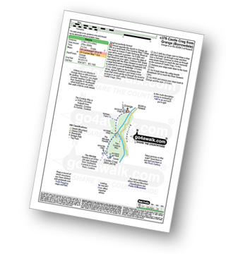
Route Summary:
Grange (Borrowdale) - Borrowdale - The Cumbria Way - Holmcrag Wood - River Derwent - The Allerdale Ramble - Castle Crag - River Derwent - Grange (Borrowdale)

|
Vital Statistics:
| Length: | 6.25 miles (10 km) |
| Ascent: | 1,382ft (421m) |
| Time: | 4 hrs |
| Grade: | |
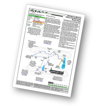
Route Summary:
Brown Howe Car Park - Coniston Water - Beacon (Blawith Fells) - Beacon Tarn - Tarn Beck - The Cumbria Way - Wool Knott - Fisher High - Rattan Haw - Yew Bank (Blawith Fells) - Stable Harvey Moss - Brown Howe - Coniston Water.

|
Vital Statistics:
| Length: | 11.25 miles (18 km) |
| Ascent: | 3,883ft (1,183m) |
| Time: | 8 hrs |
| Grade: | |
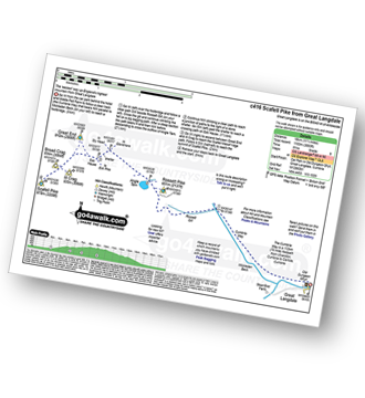
Route Summary:
Great Langdale - The Old Dungeon Ghyll - The Cumbria Way - Mickleden Beck - Rossett Gill - Rossett Pike - Angle Tarn (Langdale) - Esk Hause - Scafell Pike - Ill Crag - Broad Crag - Great End - Esk Hause - Angle Tarn - Rossett Gill - Mickleden - Mickleden Beck - The Cumbria Way - The Old Dungeon Ghyll - Great Langdale

|
Vital Statistics:
| Length: | 10 miles (16 km) |
| Ascent: | 3,580ft (1,091m) |
| Time: | 7.25hrs |
| Grade: | |
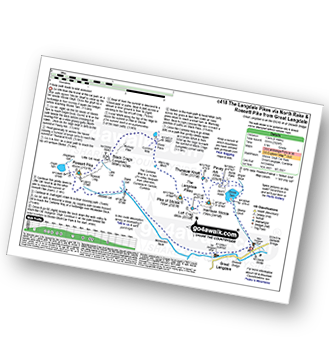
Route Summary:
Great Langdale - The New Dungeon Ghyll - Stickle Ghyll - Stickle Tarn - North Rake - The Langdale Pikes - Pavey Ark - Thunacar Knott - Harrison Stickle - Loft Crag - Pike of Stickle (Pike o' Stickle) - Martcrag Moor - Stake Pass - Black Crags (Langdale) - Little Gill Head - Rossett Pike - Rossett Gill - The Cumbria Way - Mickleden - Mickleden Beck - The New Dungeon Ghyll - Great Langdale

|
Vital Statistics:
| Length: | 11.75 miles (19 km) |
| Ascent: | 4,680ft (1,426m) |
| Time: | 9 hrs |
| Grade: | |
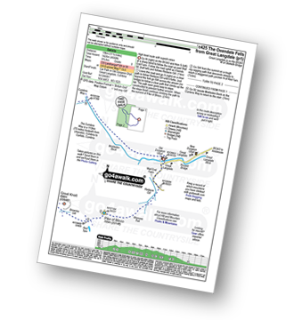
Route Summary:
Great Langdale - The Old Dungeon Ghyll - Wall End Farm - Redacre Gill - Wrynose Fell - Pike of Blisco (Pike O' Blisco) - Red Tarn (Langdale) - Great Knott - Crinkle Crags (South Top) - Crinkle Crags (Long Top) - Crinkle Crags (Gunson Knott) - Shelter Crags - Shelter Crags (North Top) - Three Tarns - Climbers' Traverse (optional) - Flat Crag - Cambridge Crag - Bowfell Buttress - Bow Fell (Bowfell) - Bow Fell (Bowfell) (North Top) - Ore Gap - Angle Tarn (Langdale) - Rossett Pike - Rossett Beck - Mickleden - Mickleden Beck - The Cumbria Way - The Old Dungeon Ghyll - Great Langdale

|
Vital Statistics:
| Length: | 15.25 miles (24.5 km) |
| Ascent: | 5,458ft (1,663m) |
| Time: | 11 hrs |
| Grade: |  |
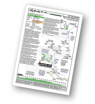
Route Summary:
Keswick - Millbeck - The Allerdale Ramble - Doups - Dodd (Skiddaw) - White Stones (Skiddaw) - Carl Side - Longside Edge - Long Side - Ullock Pike - Carlside Tarn - Skiddaw - Blake Hill - Bakestall - Little Man (Skiddaw) - Jenkin Hill - Lonscale Fell - Lonscale Crags - The Cumbria Way - Latrigg - Applethwaite - The Allerdale Ramble - Millbeck - Nr Keswick.

|
Vital Statistics:
| Length: | 12.25 miles (19.5 km) |
| Ascent: | 3,062ft (933m) |
| Time: | 7½ hrs |
| Grade: | |
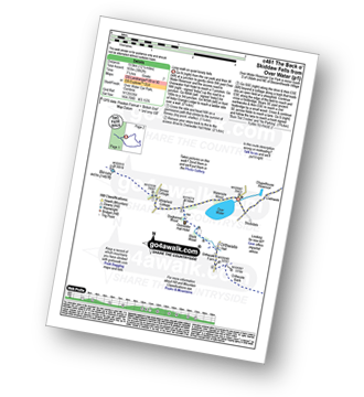
Route Summary:
Over Water Reservoir - Waterside Wood - Whitefield Cottage - Binsey Cottage - Binsey - Dogkennel Wood - Overwater Hall - Black Wood - Orthwaite - Orthwaite Bank - Uldale Fells - Great Cockup - Meal Fell - Great Sca Fell - Little Sca Fell - Brae Fell - Broad Moss - Charleton Gill - Langlands Fell - The Cumbria Way - Lowthwaite - Chapelhouse Reservoir - Over Water

|
Vital Statistics:
| Length: | 8.75 miles (14 km) |
| Ascent: | 2,271ft (692m) |
| Time: | 5½ hrs |
| Grade: | |
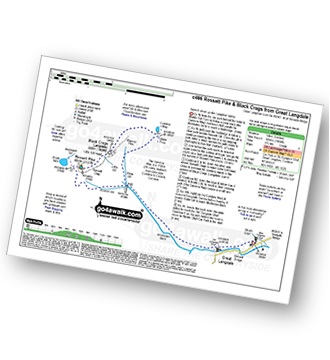
Route Summary:
Great Langdale - Old Dungeon Ghyll - The Cumbria Way - Mickleden Beck - Mickleden (Langdale) - Rossett Beck - Rossett Pike - Little Gill Head - Black Crags (Langdale) - Stake Pass - The Cumbria Way - Stake Gill - Mickleden - Mickleden Beck - The New Dungeon Ghyll - Great Langdale
See this list of walks, routes & maps in:
Grade Order | Length Order | Time Order | Walk Number or Start Location Order
NB. To reverse (toggle) this order, click Grade Order again
Not familiar with The Cumbria Way?
See these 39 walks that include part of The Cumbria Way on an interactive Google Map

