12 easy to follow walk route maps of all grades that include part of The Shropshire Way
The Shropshire Way is a 224km (139 miles) circular footpath starting and finishing in Wem in Shropshire, England.
The Shropshire Way is waymarked by a buzzard motif.
Not familiar with The Shropshire Way?
See these 12 walks that include part of The Shropshire Way on an interactive Google Map
See this list of walks, routes & maps in:
Grade Order | Length Order | Time Order | Walk Number or Start Location Order
NB. To reverse (toggle) this order, click Grade Order again

   |
Vital Statistics:
| Length: | 3.75 miles (6 km) |
| Ascent: | 1,004ft (306m) |
| Time: | 2½ hrs |
| Grade: |  |

Route Summary:
Buckatree Farm Reservoir - Wrekin Cottage - The Shropshire Way - Hell Gate - Heaven Gate - The Wrekin - Little Hill - Needle's Eye - Wenlocks Wood - Buckatree Farm Reservoir


|
Vital Statistics:
| Length: | 6.5 miles (10.5 km) |
| Ascent: | 1,152ft (351m) |
| Time: | 3½ hrs |
| Grade: |  |

Route Summary:
Cleobury North - Stanbroughs Wood - Brown Clee Hill (Abdon Burf) - The Shropshire Way - Sandy Nap - Monkeys Fold - Green Lea - Brown Clee Hill (Clee Burf) - Chapelwod Farm - Wallermoore Wood - Harewood - Cleobury North

|
Vital Statistics:
| Length: | 6.25 miles (10 km) |
| Ascent: | 295ft (90m) |
| Time: | 2½ hrs |
| Grade: |  |
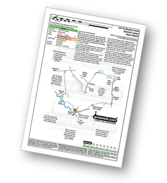
Route Summary:
Stanton Upon Hine Heath - The Shropshire Way - River Roden - Harcourt Mill - Paperbank Mill - Hardcourt Farm - The Woodlands - Booley - Old Shop Farm - Quarry Coppice - Megan's Coppice - Hine Heath - Hine Heath Farm - Upper Blakeley Farm - Blakeley Stud - Blakeleyhill - Stanton Upon Hine Heath

|
Vital Statistics:
| Length: | 4 miles (6.5 km) |
| Ascent: | 1,011ft (308m) |
| Time: | 2½ hrs |
| Grade: | |

Route Summary:
Dhustone - The Shropshire Way - Nine Spring Farm - Titterstone Incline - Titterstone Clee Hill - Hullabaloo House - Titterstone - Benson' Brook - Woodlands - Greenacres - Dhustone

|
Vital Statistics:
| Length: | 7.75 miles (12.5 km) |
| Ascent: | 1,355ft (413m) |
| Time: | 4.25hrs |
| Grade: |  |
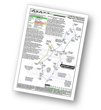
Route Summary:
Stiperstones Car Park - Gatten Plantation - The Shropshire Way - Shepherd's Rock - Devil's Chair - Stiperstones (Manstone Rock) - Nipstone Rock - The Rock - Ridge - Cold Hill Farm - Stiperstones Car Park

|
Vital Statistics:
| Length: | 9 miles (14.5 km) |
| Ascent: | 797ft (243m) |
| Time: | 4.25hrs |
| Grade: | |

Route Summary:
Corbet Wood - Grinshill - Clive - Grumpy - Myddle - The Marches Way - Webscott - Newton on the Hill - Yorton - Clive - Grinshill - The Shropshire Way - Corbet Wood - Grinshill

|
Vital Statistics:
| Length: | 3.25 miles (5 km) |
| Ascent: | 479ft (146m) |
| Time: | 1.75hrs |
| Grade: | |

Route Summary:
Stiperstones Car Park - Gatten Plantation - The Shropshire Way - Shepherd's Rock - Devil's Chair - Stiperstones (Manstone Rock) - Stiperstones Car Park

|
Vital Statistics:
| Length: | 5.25 miles (8.5 km) |
| Ascent: | 876ft (267m) |
| Time: | 3 hrs |
| Grade: | |

Route Summary:
Stiperstones Car Park - The Shropshire Way - Nipstone Rock - The Rock - Ridge - Cold Hill Farm - Stiperstones Car Park

|
Vital Statistics:
| Length: | 5 miles (8 km) |
| Ascent: | 542ft (165m) |
| Time: | 2½ hrs |
| Grade: | |
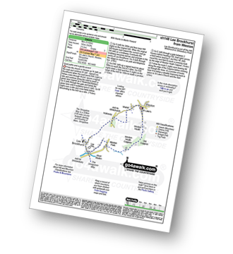
Route Summary:
Weston - Wixhill - Lee Brockhurst - The Shropshire Way - Weston Heath Coppice - Weston Heath - Weston

|
Vital Statistics:
| Length: | 5 miles (8 km) |
| Ascent: | 161ft (49m) |
| Time: | 2 hrs |
| Grade: |  |
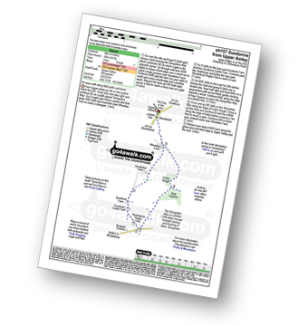
Route Summary:
Upper Astley - The Shropshire Way - Wheatley Farm - Sunderton Farm - Sundorne Farm - Sundorne Castle Farm - Shrewsbury Rugby Club - New Coppice - Colin's Rough - Wheatley Farm - Upper Astley

|
Vital Statistics:
| Length: | 6 miles (9.5 km) |
| Ascent: | 351ft (107m) |
| Time: | 2½ hrs |
| Grade: | |
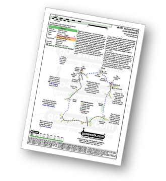
Route Summary:
Grinshill - The Marches Way - Yorton Villa Farm - Yorton House Farm - Yorton Heath - Sansaw Heath - Sheepcotes - Sansaw Business Park - The Shropshire Way - Grinshill

|
Vital Statistics:
| Length: | 7.5 miles (12 km) |
| Ascent: | 361ft (110m) |
| Time: | 3 hrs |
| Grade: | |
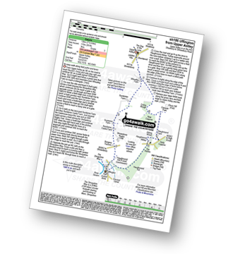
Route Summary:
Upper Astley - The Shropshire Way - Wheatley Farm - Sunderton Farm - Sundorne Farm - Sundorne Castle Farm - The River Severn - Uffington - Haughmond Hill (Forest Commisison) - The Hollies - Haughmond Abbey - Abbey Wood - Haughmond Farm - New Coppice - Colins Rough - Wheatley Farm - Upper Astley
See this list of walks, routes & maps in:
Grade Order | Length Order | Time Order | Walk Number or Start Location Order
NB. To reverse (toggle) this order, click Grade Order again
Not familiar with The Shropshire Way?
See these 12 walks that include part of The Shropshire Way on an interactive Google Map