|
Vital Statistics:
| Length: | 12mls (19km) |
| Ascent: | 1,956ft (596m) |
| Time: | 6¼hrs |
| Grade: |  |
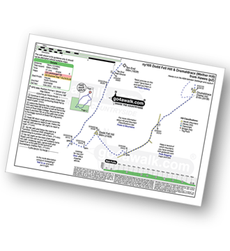
Route outline for walk ny108:
Hawes - The Pennine Way - The Herriot Way - Gayle - Gaudy Lane - Rottonstone Hill - Ten End Peat Ground - West Cam Road - Dodd Fell Hill - North Gate - West Duerley Pasture - Cam High Road - Howgate Head - Drumaldrace (Wether Fell) - Wether Fell - Gayle - Hawes
Peaks, Summits and Tops reached on this walk:
 2 English Mountains |
 0 Wainwrights |
 2 English Nuttalls |
 0 English Deweys |
 0 Wainwright Outlying Fells |
 1 Marilyn |
 0 Bridgets |
Peak Bagging Statistics for this walk:
The highest point of this walk is Dodd Fell Hill at 668m (2192ft). Dodd Fell Hill is classified as an English Mountain (Hewitt) (128th highest in England, 218th highest in England & Wales)
Dodd Fell Hill is also known as an English Nuttall (171st highest in England, 289th highest in England & Wales) and an English Marilyn (40th highest in England, 655th highest in the UK).
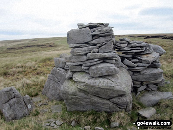
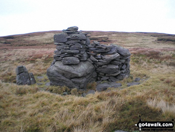
The summit of Dodd Fell Hill is marked by an Ordnance Survey Trig Point.
Completing this walk will also take you to the top of Drumaldrace (Wether Fell) at 614m (2015ft). Drumaldrace (Wether Fell) is classified as an English Mountain (Hewitt) (174th highest in England, 303rd highest in England & Wales)
Drumaldrace (Wether Fell) is also known as an English Nuttall (243rd highest in England, 423rd highest in England & Wales).
National Trails & Long Paths included on this walk:
Part of this walk follows a section of The Herriot Way, an 88km (55 miles) circular footpath starting and finishing in Aysgarth Falls in North Yorkshire, England. The Herriot Way is waymarked by the occasional named post. For more walks that include a section of this trail see The Herriot Way.
Part of this walk also follows a section of The Pennine Way, a 404km (251 miles) linear footpath connecting Edale in Derbyshire, England with Kirk Yetholm in The Borders, Scotland. The Pennine Way is waymarked by a National Trail Acorn. For more walks that include a section of this trail see The Pennine Way.
You can find this walk and other nearby walks on these unique free-to-access Interactive Walk Planning Maps:
1:25,000 scale OS Explorer Maps (orange/yellow covers):
1:50,000 scale OS Landranger Map (pink/magenta covers):
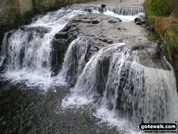
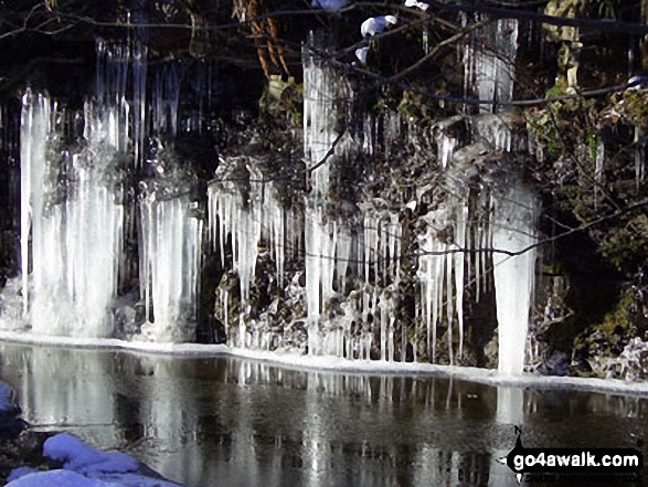
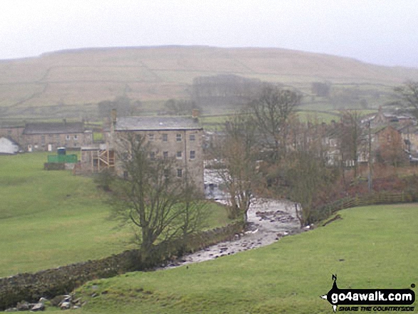
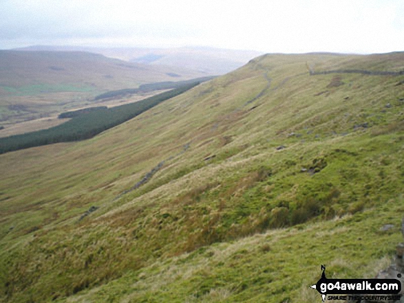
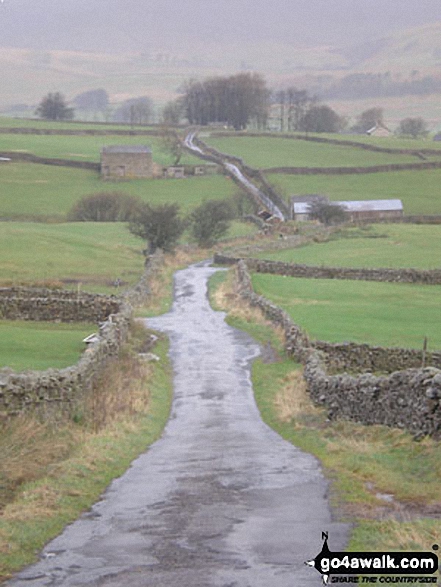
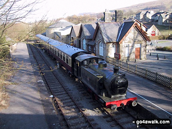
Some Photos and Pictures from Walk ny108 Dodd Fell Hill and Drumaldrace (Wether Fell) from Hawes
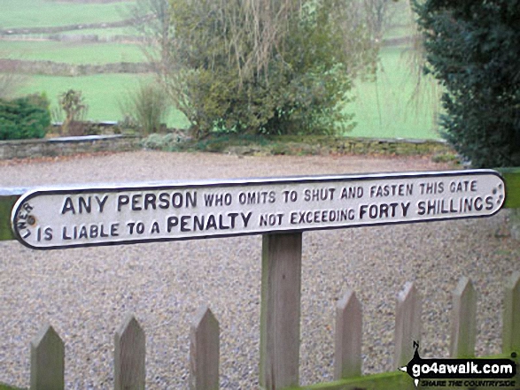
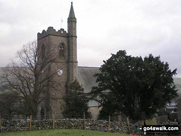
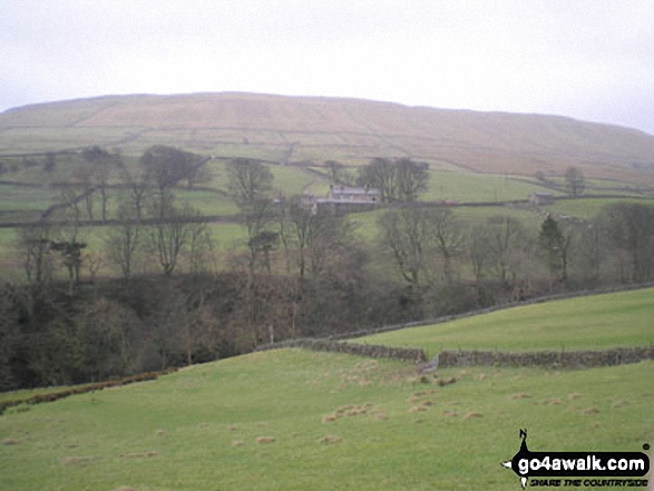
In no particular order . . .
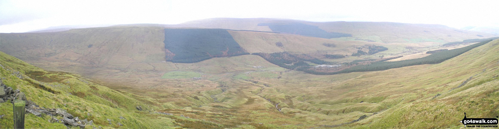
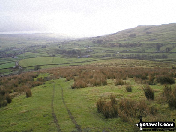
*Widdale from The Pennine Way on the northern lower slopes of Dodd Fell Hill
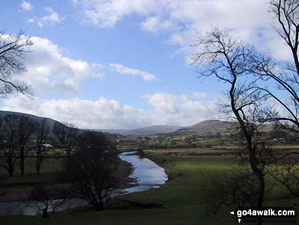
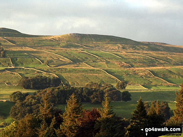
Early evening in Wenslydale seen from the campsite at Bainbridge Ings near Hawes
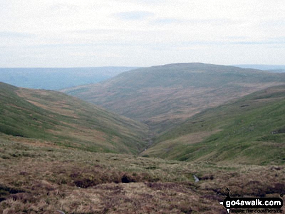
Sleddale from The Pennine Way on the northern lower slopes of Dodd Fell Hill
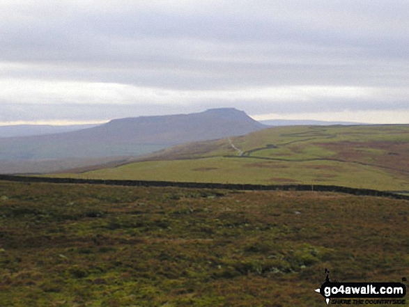
Drumaldrace (Wether Fell) across Sleddale from The Pennine Way south of Gayle
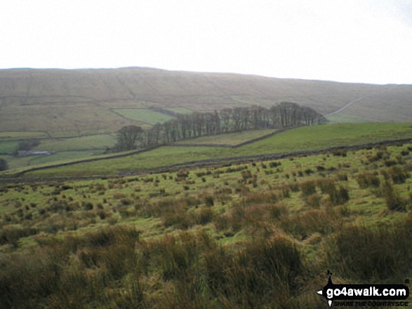
Drumaldrace (Wether Fell) across Sleddale from The Pennine Way on Gaudy Lane south of Gayle
. . . load all 25 walk photos from Walk ny108 Dodd Fell Hill and Drumaldrace (Wether Fell) from Hawes
Send us your photographs and pictures from your walks and hikes
We would love to see your photographs and pictures from walk ny108 Dodd Fell Hill and Drumaldrace (Wether Fell) from Hawes. Send them in to us as email attachments (configured for any computer) along with your name and where the picture was taken to:
and we shall do our best to publish them.
(Guide Resolution = 300dpi. At least = 660 pixels (wide) x 440 pixels (high).)

You can also submit photos from walk ny108 Dodd Fell Hill and Drumaldrace (Wether Fell) from Hawes via our Facebook Page.
NB. Please indicate where each photo was taken.