   |
Vital Statistics:
| Length: | 5¼mls (8.5km) |
| Ascent: | 823ft (251m) |
| Time: | 2¾hrs |
| Grade: |  |
Route outline for walk d161:
Crowden - The Pennine Way - Torside Reservoir - Rhodeswood Reservoir - The Longdendale Trail - The Pennine Way - Torside Reservoir - Crowden
National Trails & Long Paths included on this walk:
Part of this walk follows a section of The Longdendale Trail, an 11km (7 miles) linear footpath connecting Hadfield in Derbyshire, England with Salter's Brook on the border with West Yorkshire, England. The Longdendale Trail also forms part of the Trans Pennine Trail that runs coast to coast across the UK from Southport in Merseyside to Hornsea in The East Riding of Yorkshire.The Longdendale Trail follows part of the former Great Central Railway. This line from Manchester to Sheffield Railway was also known as 'The Woodhead Route'. It passed through the picturesque Longdendale valley which includes five reservoirs surrounded by high moorland. The reservoirs were completed in 1877 & were, at the time, the largest artificial expanse of water in the world. The line itself was closed in 1981 amid much controversy. The Longdendale Trail is waymarked by named discs. For more walks that include a section of this trail see The Longdendale Trail.
Part of this walk also follows a section of The Pennine Way, a 404km (251 miles) linear footpath connecting Edale in Derbyshire, England with Kirk Yetholm in The Borders, Scotland. The Pennine Way is waymarked by a National Trail Acorn. For more walks that include a section of this trail see The Pennine Way.
You can find this walk and other nearby walks on these unique free-to-access Interactive Walk Planning Maps:
1:25,000 scale OS Explorer Map (orange/yellow covers):
1:50,000 scale OS Landranger Map (pink/magenta covers):
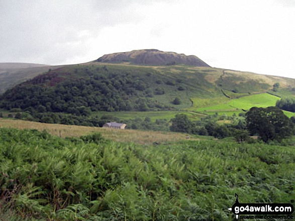
Some Photos and Pictures from Walk d161 Rhodeswood Reservoir from Crowden
In no particular order . . .
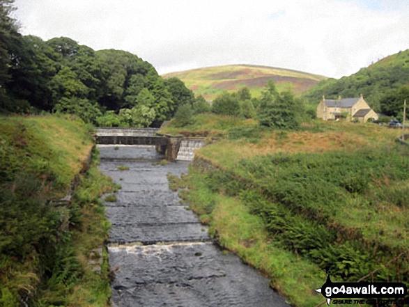
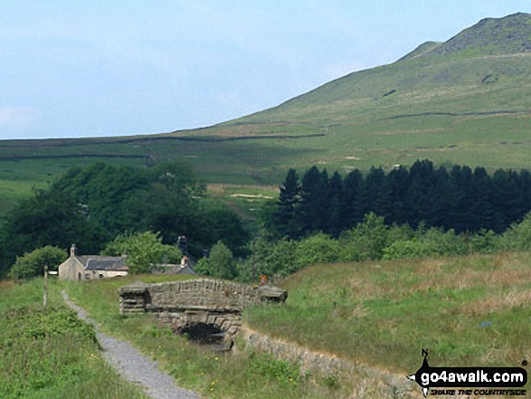
Wildboar Clough with Bleaklow Hill beyond from the Pennine Way near Crowden


Send us your photographs and pictures from your walks and hikes
We would love to see your photographs and pictures from walk d161 Rhodeswood Reservoir from Crowden. Send them in to us as email attachments (configured for any computer) along with your name and where the picture was taken to:
and we shall do our best to publish them.
(Guide Resolution = 300dpi. At least = 660 pixels (wide) x 440 pixels (high).)

You can also submit photos from walk d161 Rhodeswood Reservoir from Crowden via our Facebook Page.
NB. Please indicate where each photo was taken.


