7 easy to follow walk route maps of all grades that include part of The Rossendale Way
The Rossendale Way is a 72km (45 miles) circular footpath starting and finishing in Sharneyford in Lancashire, England.
The Rossendale Way is waymarked by the letters RW.
Not familiar with The Rossendale Way?
See these 7 walks that include part of The Rossendale Way on an interactive Google Map
See this list of walks, routes & maps in:
Grade Order | Length Order | Time Order | Walk Number or Start Location Order
NB. To reverse (toggle) this order, click Grade Order again

   |
Vital Statistics:
| Length: | 8.5 miles (13.5 km) |
| Ascent: | 1,549ft (472m) |
| Time: | 4.75hrs |
| Grade: |  |
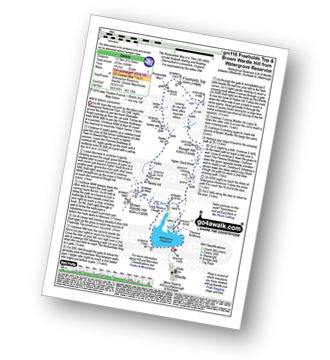
Route Summary:
Watergrove Reservoir - Wardle - Ramsden Road - The Pennine Bridleway - Crook Moor - Higher Slack Brook - Rough Hill (Shore Moor) - Freeholds Top - Trough Edge End - The Rossendale Way - Trough Edge - Deacon Pasture - Hades Hill - Hades - Middle Hill (Whitworth) - Brown Wardle Hill - Long Shoot Clough - Watergrove Reservoir - Wardle.


|
Vital Statistics:
| Length: | 6.75 miles (11 km) |
| Ascent: | 1,050ft (320m) |
| Time: | 3.75hrs |
| Grade: |  |
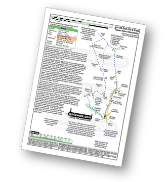
Route Summary:
Holcombe Moor Car Park - Holcombe - Higher Tops - Chatterton Close Farm - Buckden Wood - The Rossendale Way - Beetle Hill - Bull Hill (Holcombe Moor) - Pilgrim's Cross - Harcles Hill - Peel Tower - Taylor's Farm - Redisher Wood - Holcombe Brook - Holcombe Car Park.

|
Vital Statistics:
| Length: | 5.25 miles (8.5 km) |
| Ascent: | 686ft (210m) |
| Time: | 2.75hrs |
| Grade: |  |
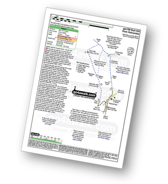
Route Summary:
Holcombe Moor Car Park - Holcombe - Higher Tops - Chatterton Close Farm - Buckden Wood - The Rossendale Way - Beetle Hill - Bull Hill (Holcombe Moor) - Pilgrim's Cross - Harcles Hill - Peel Tower - Top o'th'Moor Farm - Branch Road - Holcombe Moor Car Park

|
Vital Statistics:
| Length: | 7.25 miles (11.5 km) |
| Ascent: | 1,355ft (413m) |
| Time: | 4 hrs |
| Grade: | |

Route Summary:
Edenfield - Gin Croft Lane - Dearden Moor - Sand Beds Farm - Cowpe Lowe - The Rossendale Way - Foe Edge - Cowpe Moss - Cragg Quarry - Hail Storm Hill - Tottington Higher End Moor - Whittle Hill - New Gate Brook - Fecit Delf Endm Scout Moss - Turn - Dearden Clough - Edenfield

|
Vital Statistics:
| Length: | 8.5 miles (13.5 km) |
| Ascent: | 1,753ft (534m) |
| Time: | 4.75hrs |
| Grade: | |
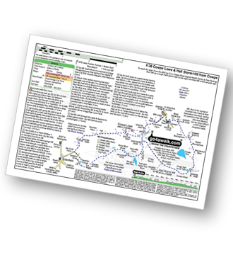
Route Summary:
Cowpe - Greenbridge Car Park - Lenchfold Farm - The Rossendale Way - Cowpe Lowe - Sand Beds Farm - Dearden Moor - Gin Croft Lane - Dearden Clough - Scout Moor Brook - Waugh's Well Reservoir - Horncliffe Close - Foe Edge - Cragg Quarry - Hail Storm Hill - Cowpe Moss - Cragg High Level Tank - Brandwood Moor - Higher Boarsgreave Moor - Lower Boarsgreave Moor - Cowpe,.

|
Vital Statistics:
| Length: | 5.5 miles (8.5 km) |
| Ascent: | 1,093ft (333m) |
| Time: | 3 hrs |
| Grade: | |
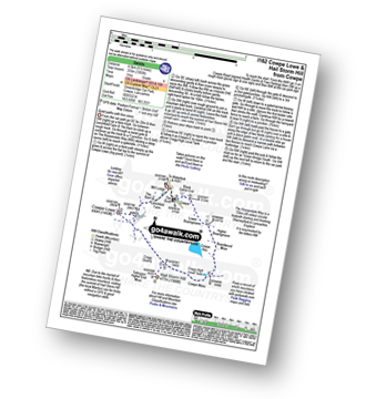
Route Summary:
Cowpe - Greenbridge Car Park - Lenchfold Farm - The Rossendale Way - Cowpe Lowe - Cragg Quarry - Hail Storm Hill - Cowpe Moss - Cragg High Level Tank - Brandwood Moor - Higher Boarsgreave Moor - Lower Boarsgreave Moor - Cowpe,.

|
Vital Statistics:
| Length: | 5 miles (8 km) |
| Ascent: | 1,044ft (318m) |
| Time: | 3 hrs |
| Grade: | |
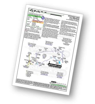
Route Summary:
Edenfield - Gin Croft Lane - Dearden Moor - Sand Beds Farm - Cowpe Lowe - The Rossendale Way - Foe Edge - Horncliffe Close - Waugh's Well Reservoir - Scout Moor Brook - Dearden Clough - Edenfield
See this list of walks, routes & maps in:
Grade Order | Length Order | Time Order | Walk Number or Start Location Order
NB. To reverse (toggle) this order, click Grade Order again
Not familiar with The Rossendale Way?
See these 7 walks that include part of The Rossendale Way on an interactive Google Map