11 easy to follow walk route maps of all grades that include part of The North Downs Way
The North Downs Way is a 229km (142 miles) linear footpath connecting Farnham in Surrey, England with Dover in Kent, England.
The North Downs Way is waymarked by a National Trail Acorn.
Not familiar with The North Downs Way?
See these 11 walks that include part of The North Downs Way on an interactive Google Map
See this list of walks, routes & maps in:
Grade Order | Length Order | Time Order | Walk Number or Start Location Order
NB. To reverse (toggle) this order, click Grade Order again

   |
Vital Statistics:
| Length: | 9.5 miles (15 km) |
| Ascent: | 1,306ft (398m) |
| Time: | 4.75hrs |
| Grade: |  |

Route Summary:
Otford - The North Downs Way - Otford Mount - Hillydeal Wood - Rowdow Hill - Rowdow Wood - Shorehill Farm - Otford Manor - Fab's Wood - Cotman's Ash - Summeryards Wood - Knockmill Wood - Highfield Piggery - Little East Hill Farm - Broom Wood - Romney Street - Courtfield Wood - Eastdown - Great Wood - Paine's Farm - Greenhill Wood - Otford


|
Vital Statistics:
| Length: | 7.25 miles (11.5 km) |
| Ascent: | 840ft (256m) |
| Time: | 3½ hrs |
| Grade: |  |
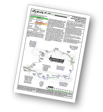
Route Summary:
Romney Street - Courtfield Wood - Eastdown - Great Wood - Paine's Farm - Rowdon Hill - The North Downs Way - Rowdow Wood - Shorehill Farm - Otford Manor - Fab's Wood - Cotman's Ash - Summeryards Wood - Knockmill Wood - Highfield Piggery - Little East Hill Farm - Broom Wood - Romney Street

|
Vital Statistics:
| Length: | 7 miles (11 km) |
| Ascent: | 1,115ft (340m) |
| Time: | 3½ hrs |
| Grade: | |
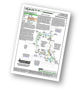
Route Summary:
Car Park S of Mickleham - River Mole - Norbury Park House - Fetcham Downs - Westhumble - The North Downs Way - Box Hill - Car Park S of Mickleham

|
Vital Statistics:
| Length: | 7.5 miles (12 km) |
| Ascent: | 1,175ft (358m) |
| Time: | 4 hrs |
| Grade: | |
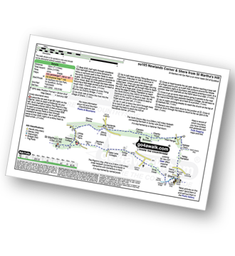
Route Summary:
St Martha's Hill Car Park - Pilgram's Way - Newbarn Farm - Water Lane Cottages - Timber Croft - Silver Wood - Shere - Netley Plantation Hollister Farm - The North Downs Way - West Hanger - Chantry Wood - The Boxwood - Clandon Downs - Newlands Corner - Albury Downs - Merrow Downs - White Lane Farm - Keepers Cottage - St Martha's Hill - St Martha's Hill Car Park

|
Vital Statistics:
| Length: | 5.25 miles (8.5 km) |
| Ascent: | 715ft (218m) |
| Time: | 2.75hrs |
| Grade: |  |
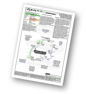
Route Summary:
Ranmore Common - Tanner's Hatch (Youth Hostel) - Bagden Farm - Crabtree Cottage - Chapel Farm - Westhumble Church - The North Downs Way - Ashcombe Wood - Denbies - St Barnabus Church - Ranmore Common

|
Vital Statistics:
| Length: | 7 miles (11 km) |
| Ascent: | 962ft (293m) |
| Time: | 3½ hrs |
| Grade: | |
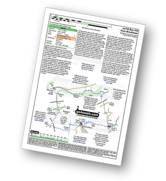
Route Summary:
Brockham - The Greensand Way - St Michael's Church - Betchworth - The North Downs Way - Brockham Warren - Box Hill - Betchworth Park Golf Club - Park Farm - Pondtail Farm - Brockham

|
Vital Statistics:
| Length: | 6.5 miles (10.5 km) |
| Ascent: | 542ft (165m) |
| Time: | 3 hrs |
| Grade: | |

Route Summary:
Farthing Downs - Fairdean Downs - Chaldon Church - Chaldon - The North Downs Way - Ockley Hill - Hilltop House - Willey Park Farm - Caterham - Farthing Downs

|
Vital Statistics:
| Length: | 7.25 miles (11.5 km) |
| Ascent: | 873ft (266m) |
| Time: | 3½ hrs |
| Grade: | |
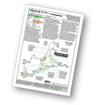
Route Summary:
Ranmore Common - Yewtree Farm - Polesden Lacey - Pigden Cottage - Hogden Cottage - Friars Farm - Dunley Wood - The North Downs Way - White Downs - Burnetts Leaf - The Roadabouts - The Spains - Ranmore Common

|
Vital Statistics:
| Length: | 6.5 miles (9.5 km) |
| Ascent: | 689ft (210m) |
| Time: | 2.75hrs |
| Grade: | |

Route Summary:
Oxted - The Greensand Way - Limpsfield - The North Downs Way - Tandridge Hill - Townland Pool - Oxted Mill - The Greensand Way - Oxted

|
Vital Statistics:
| Length: | 4.75 miles (7.5 km) |
| Ascent: | 647ft (197m) |
| Time: | 2½ hrs |
| Grade: | |

Route Summary:
Westcott - Coomb Farm - The North Downs Way - The Rondabouts - The Spains - Ranmore Common - The Greensand Way - Westcott

|
Vital Statistics:
| Length: | 8.5 miles (13.5 km) |
| Ascent: | 866ft (264m) |
| Time: | 4 hrs |
| Grade: | |
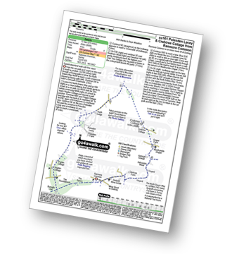
Route Summary:
Ranmore Common - The North Downs Way - The Spains - The Roundabouts - Burnetts Leaf - Hogden Cottage - Pigden Cottage - Polesden Lacey - Bookham Wood - Crabtree Cottage - Chapel Farm - Westhumble Chapel - Ashcombe Wood - St Barnabus Church - Ranmore Common
See this list of walks, routes & maps in:
Grade Order | Length Order | Time Order | Walk Number or Start Location Order
NB. To reverse (toggle) this order, click Grade Order again
Not familiar with The North Downs Way?
See these 11 walks that include part of The North Downs Way on an interactive Google Map