Seven easy to follow circular walk route maps from Hebden Bridge in The South Pennines and The Forest of Bowland, West Yorkshire, England

   |
Vital Statistics:
| Length: | 5.25 miles (8.5 km) |
| Ascent: | 1,168ft (356m) |
| Time: | 2.25hrs |
| Grade: |  |

Route Summary:
Midgehole National Trust Car Park - Hebden Bridge - Cromsworth Dean - Abel Cote - Lumb Hole Waterfall - Shackleton Knoll - Walshaw - Hardcastle Crags - Gibson Mill - Hebden Water - Midgehole.


|
Vital Statistics:
| Length: | 5.75 miles (9 km) |
| Ascent: | 1,113ft (339m) |
| Time: | 3.25hrs |
| Grade: | |

Route Summary:
Hebden Bridge - The Rochdale Canal - Charleston - The Pennine Way - Colden Water - The Calderdale Way - Heptonstall - Hebden Bridge

|
Vital Statistics:
| Length: | 6.25 miles (10 km) |
| Ascent: | 1,451ft (442m) |
| Time: | 3.75hrs |
| Grade: | |
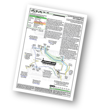
Route Summary:
Midgehole National Trust Car Park - Hebden Bridge - Hebden Water - Gibson Mill - Clough House Farm - Clough Head - The Pennine Way - Mount Pleasant Farm - Colden - Colden Water - The Calderdale Way - Helptonstall - Midgehole.

|
Vital Statistics:
| Length: | 7.75 miles (12.5 km) |
| Ascent: | 1,264ft (385m) |
| Time: | 4.25hrs |
| Grade: |  |

Route Summary:
Midgehole National Trust Car Park - Hebden Bridge - Cromsworth Dean - Abel Cote - Lumb Hole Waterfall - Shackleton Knoll - Walshaw - New Laithe Moor - Holme Ends Bridge - Alcomden Water - Blake Dean - Hardcastle Crags - Gibson Mill - Hebden Water - Midgehole.

|
Vital Statistics:
| Length: | 10 miles (16 km) |
| Ascent: | 1,526ft (465m) |
| Time: | 5 hrs |
| Grade: | |

Route Summary:
Lobb Mill Picnic Area - Shaw Wood - Stoodley Pike - The Pennine Way - Sunderland Pasture - Dick's Lane - Erringden Moor - Mytholmroyd - Rochdale Canal - River Calder - Hebden Bridge - Callis Wood - Lobb Mill Picnic Area.

|
Vital Statistics:
| Length: | 10.5 miles (17 km) |
| Ascent: | 1,900ft (579m) |
| Time: | 5.75hrs |
| Grade: |  |
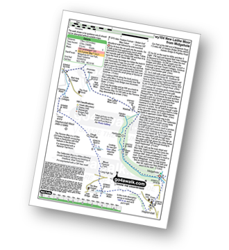
Route Summary:
Midgehole National Trust Car Park - Hebden Bridge - Hebden Water - Gibson Mill - Hardcastle Crags - Walshaw - New Laithe Moor Farm - Alcomden Water - Holme Ends Bridge - The Pennine Way - Widdop Reservoir - Well Hole Cottage - Graining Water - Gorple Cottage - Heptonstall Moor - Clough Head Hill - Mount Pleasant Farm - Colden - Colden Water - The Calderdale Way - Heptonstall - Midgehole.

|
Vital Statistics:
| Length: | 1.75 miles (17 km) |
| Ascent: | 1,533ft (467m) |
| Time: | 5½ hrs |
| Grade: | |

Route Summary:
Todmorden - Lobb Mill Picnic Area - Stoodley Pike - The Pennine Way - Withins Gate - Warlands Reservoir - Warland - Rochdale Canal - Todmorden - Hebden Bridge - Lobb Mill Picnic Area - Todmorden