12 easy to follow walk route maps of all grades that include part of The Midshires Way
The Midshires Way is a 362km (225 miles) linear footpath connecting Hampton Wainhill near Bledlow in Buckinghamshire, England with Stockport in Greater Manchester, England.
The Midshires Way is waymarked by named posts.
Not familiar with The Midshires Way?
See these 12 walks that include part of The Midshires Way on an interactive Google Map
See this list of walks, routes & maps in:
Grade Order | Length Order | Time Order | Walk Number or Start Location Order
NB. To reverse (toggle) this order, click Grade Order again

   |
Vital Statistics:
| Length: | 6.5 miles (10.5 km) |
| Ascent: | 230ft (70m) |
| Time: | 2½ hrs |
| Grade: |  |
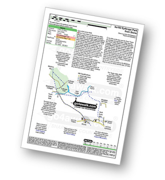
Route Summary:
Stone - Hartwell Church - Upper Hartwell - Whaddon Hill Farm - The North Bucks Way - River Thame - Thame Valley Walk - The Midshires Way - Weir Lodge - Bridge Lodge - Eythrope Park - Beachendon Cottages - Eythrope House - Aylesbury Ring - Stone


|
Vital Statistics:
| Length: | 5.5 miles (9 km) |
| Ascent: | 853ft (260m) |
| Time: | 3 hrs |
| Grade: |  |

Route Summary:
Butler's Cross - Monument Hill (Coombe Hill) - The Ridgeway - Linton's Wood - Goodmerhill Wood - Chisley Wood - The Icknield Way - Chequers - Pond Wood - Pulpit Wood - The North Bucks Way - The Midshires Way - Chequers Knap - Whorley Wood - Ellesborough Warren - Boxtree Wood - Beacon Hill (Ellesborough) - Ellesborough - The Aylesbury Ring - Springs Farm - Butler's Cross

|
Vital Statistics:
| Length: | 6 miles (9.5 km) |
| Ascent: | 528ft (161m) |
| Time: | 2.75hrs |
| Grade: | |
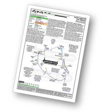
Route Summary:
Bledlow - The Midshires Way - The Warren - The Ridgeway - Thickthorn Wood - Lodge Hill - Longwood Farm - The Old Rectory - Saunderton - Horsenden - Bledlow

|
Vital Statistics:
| Length: | 9 miles (14.5 km) |
| Ascent: | 328ft (100m) |
| Time: | 3½ hrs |
| Grade: | |
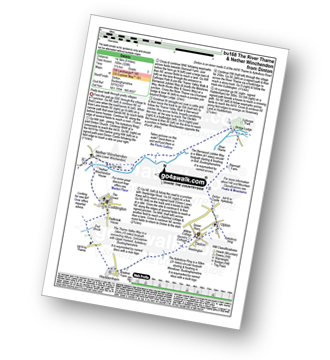
Route Summary:
Dinton - Upton - The Aylsebury Ring - Dinton Castle - Starveall Farm - Eythrope Park - The Midshires Way - The North Bucks Way - The Swans Way - Bridge Lodge - The River Thame - The Bernwood Jubilee Way - The Thame Valley Way - Nether Winchendon - Lower Winchendon - Cuddington - Haddenham - Dad Brook - Townsend - Haddenham - Westington - Dinton

|
Vital Statistics:
| Length: | 9.5 miles (15 km) |
| Ascent: | 1,696ft (517m) |
| Time: | 5.25hrs |
| Grade: |  |
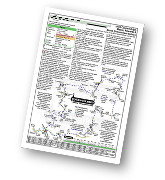
Route Summary:
Strines Station - Lower Cliffe Cottage - Higher Banks Cottage - Cobden Edge - Mellor Moor - Mellor - Mellor Church - Hilltop Farm - Shiloh Hall Farm - Ringstones Farm - Ayton Farm - Rowarth - Thornsett Fields Farm - New Mills - Whitle - Brook Bottom - The Goyt Way - The Midshires Way - Strines Station

|
Vital Statistics:
| Length: | 7.5 miles (12 km) |
| Ascent: | 880ft (268m) |
| Time: | 3.75hrs |
| Grade: |  |
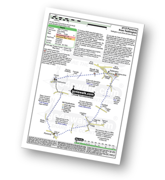
Route Summary:
Taddington - Humphrey Gate - Slough Top - Chelmorton - The Midshires Way - Pomeroy - Flagg - Taddington.

|
Vital Statistics:
| Length: | 10.5 miles (16.5 km) |
| Ascent: | 1,287ft (392m) |
| Time: | 5 hrs |
| Grade: |  |

Route Summary:
Earl Sterndale - Hindlow Quarry - Dowlow Works - The Midshires Way - The High Peak Trail - Pomeroy - Hurdlow - Parsley Hay - Darley Farm - Vincent House - Pilsbury - Pilsbury Castle Hills - Upper Dove Dale - Bridge End Farm - Crowdecote - Meadow Farm - Underhill Farm - Hitter Hill - Earl Sterndale

|
Vital Statistics:
| Length: | 5.25 miles (8.5 km) |
| Ascent: | 939ft (286m) |
| Time: | 3 hrs |
| Grade: | |

Route Summary:
Wye Dale - Topley Pike Quarry - Deep Dale - Horseshoe Dale - Bullhay Dale - Chelmorton - The Midshires Way - Marl Dale - Wye Dale

|
Vital Statistics:
| Length: | 8.75 miles (14 km) |
| Ascent: | 1,694ft (516m) |
| Time: | 5 hrs |
| Grade: | |
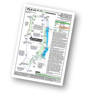
Route Summary:
Errwood Reservoir - The Goyt Valley - Shooter's Clough - Shining Tor - The Tors - Cats Tor - Oldgate Nick - Pym Chair - Goyt Forest - Windgather Rocks - Taxal Edge - Overton Hall Farm - The Midshires Way - Madscar Farm - Mill Clough - Knife Farm - The Goyt Valley - Fernilee Reservoir - Hoo Moor - Deep Clough - Jep Clough - The Street - The Goyt Valley - Errwood Reservoir

|
Vital Statistics:
| Length: | 8.5 miles (13.5 km) |
| Ascent: | 1,812ft (555m) |
| Time: | 5 hrs |
| Grade: | |

Route Summary:
Wye Dale - Blackwell Junction - The Monsal Trail - Chee Dale - Miller's Dale Station - Miller's Dale - Priestcliffe - Taddington - Sough Top - Chelmorton - The Midshires Way - Burrs Farm - Marl Dale - Topley Pike Quarry - Wye Dale

|
Vital Statistics:
| Length: | 7.25 miles (11.5 km) |
| Ascent: | 1,388ft (423m) |
| Time: | 4 hrs |
| Grade: | |
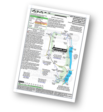
Route Summary:
Errwood Reservoir - The Goyt Valley - The Street - Fernilee Reservoir - Jep Clough - Deep Clough - Mill Clough - The Midshires Way - Knife Farm - Madscar Farm - Overton Hall Farm - Taxal Edge - Windgather Rocks - Goyt Forest - Pym Chair - The Street - Foxlow Edge - The Goyt Valley - Errwood Hall - Errwood Reservoir

|
Vital Statistics:
| Length: | 5 miles (8 km) |
| Ascent: | 345ft (105m) |
| Time: | 2.25hrs |
| Grade: | |
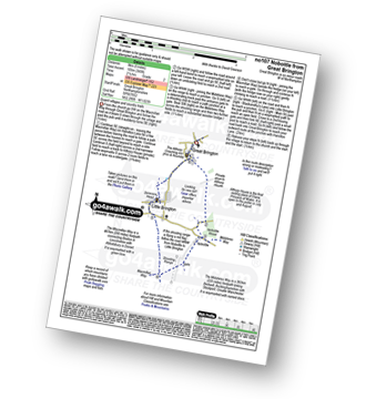
Route Summary:
Great Brington - Nobottle Wood - The Midshires Way - Nobottle - The Macmillan Way - Little Brington - Great Brington
See this list of walks, routes & maps in:
Grade Order | Length Order | Time Order | Walk Number or Start Location Order
NB. To reverse (toggle) this order, click Grade Order again
Not familiar with The Midshires Way?
See these 12 walks that include part of The Midshires Way on an interactive Google Map