Walk du131 Cronkley Scar and High Force from Bowlees

Good views and the stunning River Tees


Route outline for walk du131:

Bowlees  -  Wynch Bridge  -  River Tees  -  Holwick  -  Low Currick Rigg  -  Blea Beck  -  Whiteholm Bank  -  Dry Beck  -  Skyer Beck  -  Birk Rigg  -  Thistle Green  -  White Well Green  -  River Tees  -  Fox Earths  -  Raven Scar  -  Cronkley Scar  -  Green Hill  -  Cronkley Pasture  -  High House  -  The Pennine Way  -  Cronkley Farm  -  Bracken Rigg  -  Bleabeck Force  -  High Force  -  Saur Hill Bridge  -  Low Force  -  Wynch Bridge  -  Bowlees


Points of Interest/Notes on this walk:

At High Force, the River Tees plunges 21m (70ft) over a near vertical cliff edge in two stages. After heavy rainfall the River Tees will also flow over the dry right-hand side channel creating two falls. The falls have been known to freeze in harsh winters , creating spectacular ice formations.


Peaks, Summits and Tops reached on this walk:


Peak Bagging Statistics for this walk:

National Trails & Long Paths included on this walk:

Part of this walk follows a section of The Pennine Way, a 404km (251 miles) linear footpath connecting Edale in Derbyshire, England with Kirk Yetholm in The Borders, Scotland. The Pennine Way is waymarked by a National Trail Acorn. For more walks that include a section of this trail see The Pennine Way.


You can find more walks near this one on these unique free-to-access Interactive Walk Planning Maps: (click/TAP to select)


1:25,000 scale OS Explorer Map (the ones with orange/yellow covers):

OL31 North Pennines - Teesdale & Weardale


1:50,000 scale OS Landranger Maps (the ones with pink/magenta covers):

91 Appleby-in-Westmorland


92 Barnard Castle & surrounding area


Some Photos and Pictures from Walk du131 Cronkley Scar and High Force from Bowlees

In no particular order . . .
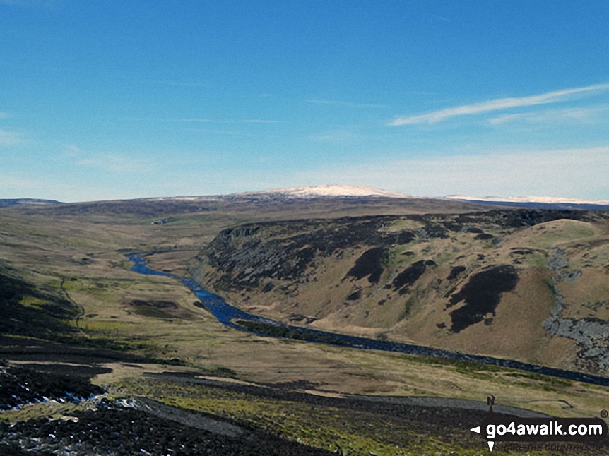
Walk du131 Cronkley Scar and High Force from Bowlees - Cronkley Scar from The Pennine Way in Upper Teesdale near High Force

Cronkley Scar from The Pennine Way in Upper Teesdale near High Force

Photo: Mike Knipe (193)

Walk du131 Cronkley Scar and High Force from Bowlees - High Force on the River Tees

High Force on the River Tees

Photo: George Cummins (1)

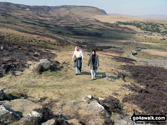
Walk du131 Cronkley Scar and High Force from Bowlees - Jakie and Emma trekking up Noon Hill (Cronkley Fell)

Jakie and Emma trekking up Noon Hill (Cronkley Fell)

Photo: Keith Norman (2)

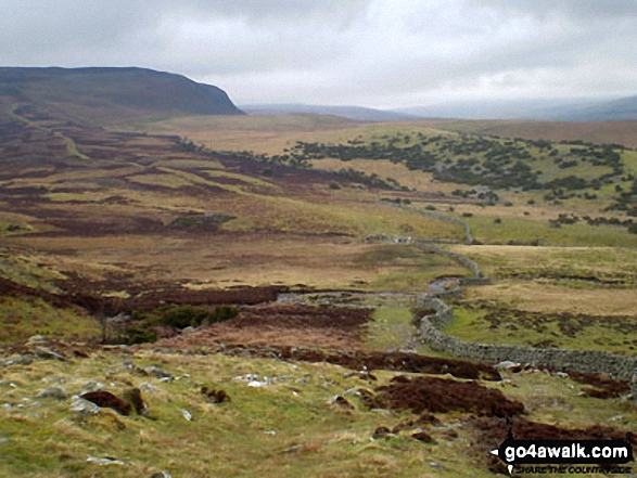
Walk du131 Cronkley Scar and High Force from Bowlees - Forest-in-Teesdale from Cronkley Scar

Forest-in-Teesdale from Cronkley Scar

Photo: Keith Norman (1)

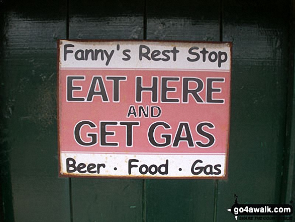
Walk du131 Cronkley Scar and High Force from Bowlees - Sign on a door of a farm house at Holwick Scars, Holwick

Sign on a door of a farm house at Holwick Scars, Holwick

Photo: Danny Fox (1)

Walk du131 Cronkley Scar and High Force from Bowlees - Falcom Clints and The Rever Tees from near White Well Green on Moor House (Cronkley Fell)

Falcom Clints and The Rever Tees from near White Well Green on Moor House (Cronkley Fell)

Photo: Rob Barklamb (63)


Send us your photographs and pictures from your walks and hikes

We would love to see your photographs and pictures from walk du131 Cronkley Scar and High Force from Bowlees. Send them in to us as email attachments (configured for any computer) along with your name and where the picture was taken to:

and we shall do our best to publish them.

(Guide Resolution = 300dpi. At least = 660 pixels (wide) x 440 pixels (high).)

Send us your walking and hiking photographs and pictures from walk du131 Cronkley Scar and High Force from Bowlees via Facebook

You can also submit photos from walk du131 Cronkley Scar and High Force from Bowlees via our Facebook Page.

NB. Please indicate where each photo was taken.


Follow go4awalk.com on Twitter Follow go4awalk.com on Facebook


Find new Friends to go walking with

Walk all 214 Wainwrights in just 59 Walks. Download GPS Waypoints - Great Walks you must not miss!

Walk The Yorkshire Three Peaks Challenge Walk - All the Latest Route Information, GPS Waypoints and Split Times to keep you on Schedule

Walk The British Three Peaks Challenge Walk - All the Latest Route Information and GPS Waypoints

See our pick of The Best Walks in The Lake District - Great Walks you must not miss!

Walk our pick of the Best Lake District Ridge Walks - Great Walks you must not miss!

Walk our pick of the Best Lake District Walks to do in the rain - Great Walks you must not miss!

Walk our pick of The Best Walks in Snowdonia - Great Walks you must not miss!

Walk our pick of The Best Ridge Walks in Wales - Walks you must not miss!

Walk our pick of The Best Walks in The Brecon Beacons - Great Walks you must not miss!

Walk our pick of The Best Walks in The Yorkshire Dales - Walks you must not miss!

Walk our pick of The Best Walks in The Peak District - Walks you must not miss!

Walk our pick of The Best Walks in The Forest of Bowland - Walks you must not miss!

Walk our pick of The Best Walks in Shropshire - Walks you must not miss!

Walk our pick of The Best Walks in Cheshire - Walks you must not miss!

Walk our pick of The Best Walks in Lancashire - Walks you must not miss!

Not sure where to walk next? Try Peak Bagging - Great Walks you must not miss!

Not sure where to walk next? Walk part of a National Trail - Great Walks you must not miss!

Walks with Downloadable and Uploadable GPS Waypoint Data

Walking Kit and Gear Tested by Walkers

Full Site Search