30 easy to follow walk route maps of all grades that include part of The Limestone Way
The Limestone Way is an 80km (50 miles) linear footpath connecting Castleton in Derbyshire, England with Rocester in Staffordshire, England.
The Limestone Way is waymarked by a Derby ram.
Not familiar with The Limestone Way?
See these 30 walks that include part of The Limestone Way on an interactive Google Map
See this list of walks, routes & maps in:
Grade Order | Length Order | Time Order | Walk Number or Start Location Order
NB. To reverse (toggle) this order, click Grade Order again

   |
Vital Statistics:
| Length: | 10.5 miles (17 km) |
| Ascent: | 1,880ft (573m) |
| Time: | 5.75hrs |
| Grade: |  |
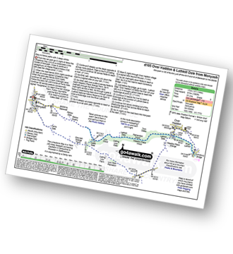
Route Summary:
Monyash - The Limestone Way - Ferns Dale - One Ash Grange Farm - Cales Dale - Calling Low Farm - Low Moor Plantation - Moor Lane - Meadow Place Grange - Lathkill Dale - Over Haddon - Conksbury Bridge - Lathkill Dale - Twin Dale - Meadow Place Wood - Palmerston Wood - Calling Low Dale - Low Wood - Riklow Dale - Monyash


|
Vital Statistics:
| Length: | 7.25 miles (11.5 km) |
| Ascent: | 1,080ft (329m) |
| Time: | 3.75hrs |
| Grade: |  |
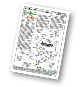
Route Summary:
Brassington - The Limestone Way - Rainster Rocks - Longcliffe - Aldwark - Grangemill - The Limestone Way - Grange Mill Quarry - Harboro' Farm - Harboro' Rocks - Bee Nest Mine - Brassington

|
Vital Statistics:
| Length: | 5.75 miles (9 km) |
| Ascent: | 928ft (283m) |
| Time: | 3 hrs |
| Grade: | |
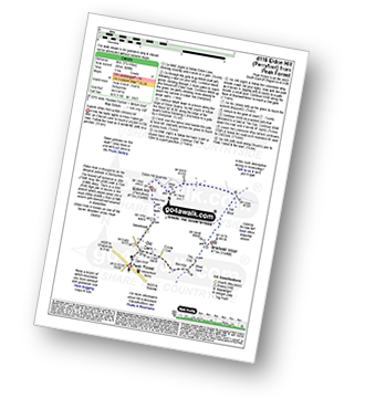
Route Summary:
Peak Forest - Old Dam - Sweet Knoll Farm - Eldon Hole - Eldon Hill (Perryfoot) - Eldon Hill Quarries - The Limestone Way - Old Moor - Bradwell Moor - The Cop - West View - Old Dam - Peak Forest

|
Vital Statistics:
| Length: | 6 miles (9.5 km) |
| Ascent: | 1,887ft (575m) |
| Time: | 4 hrs |
| Grade: |  |

Route Summary:
Castleton - The Limestone Way - Peveril Castle - Cave Dale - Old Moor - Rowter Farm - Windy Knoll - Mam Tor - Hollins Cross - Backtor Nook - Castleton

|
Vital Statistics:
| Length: | 4 miles (6 km) |
| Ascent: | 610ft (186m) |
| Time: | 2.25hrs |
| Grade: |  |

Route Summary:
Youlgreave - Bradford Dale - River Bradford - The Limestone Way - River Lathkill - Lathkill Dale - Conksbury Bridge - Youlgreave

|
Vital Statistics:
| Length: | 6 miles (9.5 km) |
| Ascent: | 565ft (172m) |
| Time: | 2.75hrs |
| Grade: | |

Route Summary:
Monyash - Moscar Farm - The High Peak Trail - Parsley Hay - Hardlow - Sparklow - Bull I' Th' Thorn Inn - Newton Farm - Hutmoor Butts - The Limestone Way - Dalehouse Farm - Monyash

|
Vital Statistics:
| Length: | 6.75 miles (11 km) |
| Ascent: | 876ft (267m) |
| Time: | 3½ hrs |
| Grade: | |
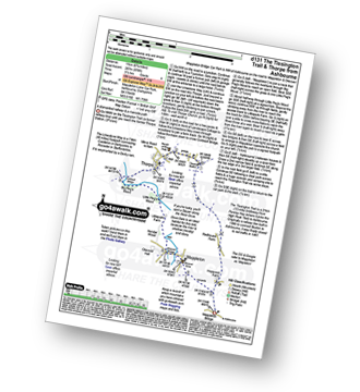
Route Summary:
Mappleton Lane (Ashbourne) - The Tissington Trail - Thorpe - The Limestone Way - Coldwall Bridge - River Dove - Big Peg's Wood - Little Peg's Wood - Littlepark Farm - Mappleton (aka Mapleton) - Callow Top - Mappleton Lane (Ashbourne)

|
Vital Statistics:
| Length: | 8.5 miles (13.5 km) |
| Ascent: | 978ft (298m) |
| Time: | 4 hrs |
| Grade: | |
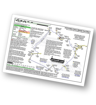
Route Summary:
Elton - Anthony Hill - Dale End (Elton) - Gratton Dale - Mouldridge Grange - Rockhurst Farm - Greenlow Farm - Winster - The Limestone Way - Elton

|
Vital Statistics:
| Length: | 7.25 miles (11.5 km) |
| Ascent: | 1,411ft (430m) |
| Time: | 4 hrs |
| Grade: | |

Route Summary:
Tideswell - The Limestone Way - Monksdale House - Monks Dale - Miller's Dale Station - The Monsal Trail - Miller's Dale - The River Wye - Litton Mill - Tideswell Dale - Tideswell

|
Vital Statistics:
| Length: | 12.25 miles (19.5 km) |
| Ascent: | 1,930ft (588m) |
| Time: | 6½ hrs |
| Grade: | |

Route Summary:
Mappleton Lane (Ashbourne) - The Tissington Trail - Thorpe - Pike House - Bostern Grange Farm - Hanson Grange - The Nabs - Dove Dale - Dove Holes - Taylors Wood - Pickering Rock - Ilam Rock - Shaplow Dale - Lin Dale - Thorpe Cloud - Thorpe Mill Farm - The Limestone Way - Coldwall Bridge - River Dove - Big Peg's Wood - Little Peg's Wood - Littlepark Farm - Mappleton (aka Mapleton) - Callow Top - Mappleton Lane (Ashbourne)

|
Vital Statistics:
| Length: | 7.75 miles (12.5 km) |
| Ascent: | 1,532ft (467m) |
| Time: | 4½ hrs |
| Grade: | |
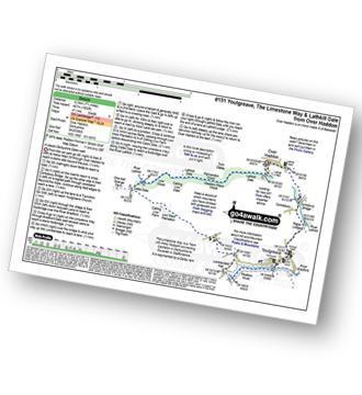
Route Summary:
Over Haddon - River Lathkill - Conksbury Bridge - Raper Lodge - Youlgreave - River Bradford - The Limestone Way - Bradford Dale - Lomber Dale - Lomberdale Hall - Moor Lane - Low Moor Plantation - Calling Low Farm - Cales Dale - Lathkill Dale - Low Wood - Calling Low Dale - Palmerston Wood - Meadow Place Wood - Twin Dale - Lathkill Lodge - Over Haddon

|
Vital Statistics:
| Length: | 15 miles (24 km) |
| Ascent: | 1,831ft (558m) |
| Time: | 7.25hrs |
| Grade: |  |
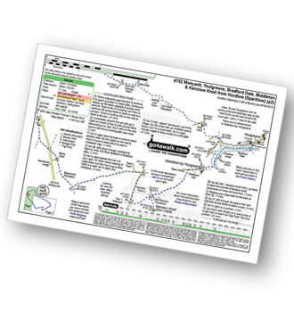
Route Summary:
Hurdlow - Sparklow - The High Peak Trail - Hutmoor Butts - The Limestone Way - Monyash - One Ash Grange Farm - Calling Low Farm - Cales Dale - Moor Lane - Youlgreave - Lomberdale Hall - Middleton-by-Youlgreave - Rake Wood - Little Rookery Plantation - Kenslow Farm - Kenslow Knoll - Ringham Low (Friden) - Mere Farm - Green Lane (Friden) - The High Peak Trail - Sparklow - Hurdlow

|
Vital Statistics:
| Length: | 5.5 miles (9 km) |
| Ascent: | 984ft (300m) |
| Time: | 3 hrs |
| Grade: | |
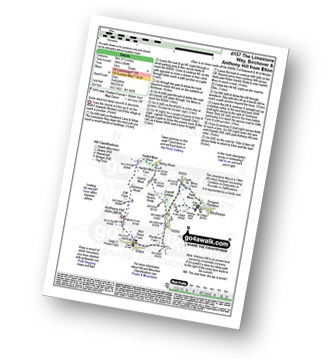
Route Summary:
Elton - The Limestone Way - Dudwood Lane - Birchover - The Mires - Robin Hood's Stride - Harthill Moor Wood - Cliffe Farm - Anthony Hill - Elton

|
Vital Statistics:
| Length: | 11.5 miles (18.5 km) |
| Ascent: | 2,001ft (610m) |
| Time: | 6 hrs |
| Grade: | |
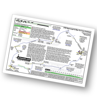
Route Summary:
Castleton - The Limestone Way - Cave Dale - Perry Dale - Sparrowpit - Rushup Farm - Rushup Hall - Rushup Edge - Lord's Seat (Rushup Edge) - Mam Tor - Hollins Cross - Backtor Nook - Castleton

|
Vital Statistics:
| Length: | 7.5 miles (12 km) |
| Ascent: | 1,335ft (407m) |
| Time: | 4.25hrs |
| Grade: | |

Route Summary:
Stanton in Peak - Nine Ladies Stone Circle - The Reform Tower (or Earl Grey Tower) - Cork Stone - Stanton Moor - Birchover - The Limestone Way - Robin Hood's Stride - Harthill Moor - Harthill Moor Farm - River Bradford - Bradford Dale - Rhienstor Plantation - Alport - Tolls Wood - Stanton in Peak

|
Vital Statistics:
| Length: | 9 miles (14.5 km) |
| Ascent: | 1,453ft (446m) |
| Time: | 4.75hrs |
| Grade: | |
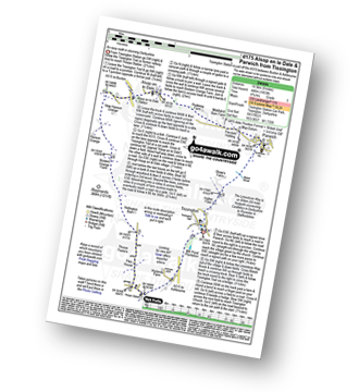
Route Summary:
Tissington - The Tissington Trail - Thorpe Station - Thorpe - Pike House - Thorpe Pasture - Bostern Grange Farm - Alsop en le Dale Station - Parwich - The Limestone Way - Tissington

|
Vital Statistics:
| Length: | 4 miles (6.5 km) |
| Ascent: | 942ft (287m) |
| Time: | 2½ hrs |
| Grade: | |
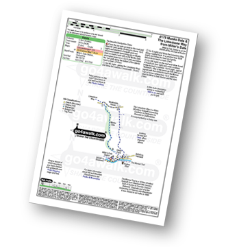
Route Summary:
Miller's Dale Station - Monks Dale - The Limestone Way - Monksdale House - The River Wye - Millers Dale - The Monsal Trail - Miller's Dale Station

|
Vital Statistics:
| Length: | 3.75 miles (6 km) |
| Ascent: | 660ft (200m) |
| Time: | 3 hrs |
| Grade: | |
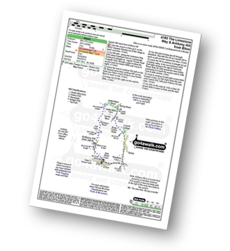
Route Summary:
Elton - The Limestone Way - Dudwood Lane - Robin Hood's Stride - Harthill Moor Wood - Cliffe Farm - Anthony Hill - Elton

|
Vital Statistics:
| Length: | 6.5 miles (10.5 km) |
| Ascent: | 1,145ft (349m) |
| Time: | 3½ hrs |
| Grade: | |

Route Summary:
Youlgreave - Bradford Dale - River Bradford - Mawstone Farm - Bleakley Plantation - Longshawe Wood - Anthony Hill - Elton - The Limestone Way - Robin Hood's Stride - Harthill Moor - Harthill Moor Wood - Bleakley Dike - River Bradford - Bradford Dale - Youlgreave

|
Vital Statistics:
| Length: | 9.75 miles (15.5 km) |
| Ascent: | 1,431ft (436m) |
| Time: | 5 hrs |
| Grade: | |

Route Summary:
Miller's Dale Station - Monks Dale - The Limestone Way - Tideswell - Litton - Tansley Dale - Cressbrook Dale - Cressbrook - The Monsal Trail - Water-cum-Jolly Dale - Litton Mill - Miller's Dale - Miller's Dale Station

|
Vital Statistics:
| Length: | 9.75 miles (15.5 km) |
| Ascent: | 1,342ft (409m) |
| Time: | 5 hrs |
| Grade: | |
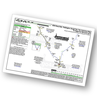
Route Summary:
Monyash - High Low - Wheal Lane - Deep Dale - White Lodge (A6) - Taddington Field - Lodley View Farm - Taddington - Sough Top - The Limestone Way - Flagg - Monyash

|
Vital Statistics:
| Length: | 7.25 miles (12.5 km) |
| Ascent: | 1,007ft (307m) |
| Time: | 4 hrs |
| Grade: | |

Route Summary:
Tissington - The Tissington Trail - Thorpe Station - Fenny Bentley - Woodeaves Mill - Woodeaves Farm - Lea Hall - Lee Cottage Farm - Bletch Book - Sittlerlow Farm - Parwich - The Limestone Way - Bletch Brook - The Tissington Trail - Tissington

|
Vital Statistics:
| Length: | 8.25 miles (13 km) |
| Ascent: | 1,358ft (414m) |
| Time: | 4½ hrs |
| Grade: | |
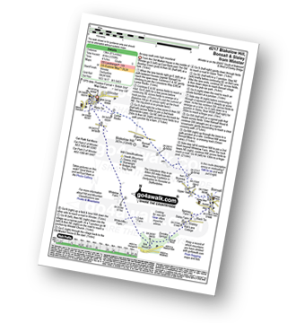
Route Summary:
Winster - Luntor Rocks - The Limestone Way - Blakelow Hill - Bonsall Moor - Upper Town - Bonsall - Slaley - Dunsley Springs - Bonsall Wood - Ible Wood - Whitelow Farm - Bonsall Moor - Wyns Tor - Winster

|
Vital Statistics:
| Length: | 10.25 miles (16.5 km) |
| Ascent: | 1,453ft (443m) |
| Time: | 5.25hrs |
| Grade: | |

Route Summary:
Monyash - The Limestone Way - Dalehouse Farm - Blackwell Lane - Hutmoor Butts - Hardlow - Sparklow - High Wheeldon - Crowdecote (Crowdicote) - Bridge End Farm - Upper Dove Dale - Pilsbury Castle Hills - Vincent House - Darley Farm - Parsley Hay - Moscar Farm - Monyash

|
Vital Statistics:
| Length: | 9.5 miles (15 km) |
| Ascent: | 1,696ft (517m) |
| Time: | 5.25hrs |
| Grade: | |
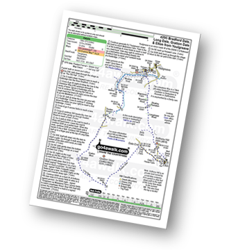
Route Summary:
Youlgreave - The Limestone Way - Bradford Dale - Moatlow Knob - River Bradford - Rusden Wood - Gratton Moor - Long Dale - Gratton Dale - Dale End (Elton) - Elton - Anthony Hill - Longshawe Wood - Bleakley Plantation - Mawstone Farm - Bradford Dale - River Bradford - Youlgreave

|
Vital Statistics:
| Length: | 12.75 miles (20.5 km) |
| Ascent: | 1,956ft (596m) |
| Time: | 6.75hrs |
| Grade: | |
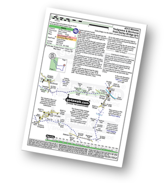
Route Summary:
Darley Bridge - Wensley Dale - Northern Dale - Ash Plantation - Brightgate Farm - Bonsall Moor - The Limestone Way - Luntor Rocks - Winster - Westhill Farm - Robin Hood's Stride - Harthill Moor - Harthill Moor Wood - Bleakley Dike - River Bradford - Bradford Dale - Youlgreave - Rhienstor Plantation - Greenfield Farm - Stoney Ley Wood - Rocking Stone Farm - Birchover - Uppertown Farm - Clough Wood - Sabine Hey Wood - Cowley Knowl - Darley Bridge

|
Vital Statistics:
| Length: | 8.75 miles (14 km) |
| Ascent: | 1,342ft (409m) |
| Time: | 4½ hrs |
| Grade: | |

Route Summary:
Winster - The Limestone Way - Westhill Farm - Robin Hood's Stride - Harthill Moor - Harthill Moor Wood - Bleakley Dike - River Bradford - Bradford Dale - Youlgreave - Mawstone Farm - Bleakley Plantation - Longshawe Wood - Anthony Hill - Elton - Sacheveral Farm - Winster

|
Vital Statistics:
| Length: | 5.75 miles (9 km) |
| Ascent: | 1,217ft (371m) |
| Time: | 3.25hrs |
| Grade: | |
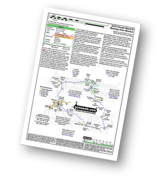
Route Summary:
Winster - Upper Town - Clough Wood - Sabine Hay Wood - Cowley Knowl - Cambridge Wood - Wensley - Big Dungeon - Wensley Dale - Northern Dale - Brightgate Farm - The Limestone Way - Luntor Rocks - Winster

|
Vital Statistics:
| Length: | 4.75 miles (7.5 km) |
| Ascent: | 754ft (230m) |
| Time: | 2½ hrs |
| Grade: | |
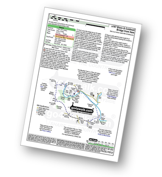
Route Summary:
Ilam - Ilam Country Park - River Manifold - Lower Dove Dale - Upper Musden - Hazelton Clump - Blore - Coldwall Farm - The Limestone Way - Coldwall Bridge - The Manifold Trail - River Dove - Fishpond Wood - River Manifold - Ilam

|
Vital Statistics:
| Length: | 6 miles (9.5 km) |
| Ascent: | 918ft (280m) |
| Time: | 3.25hrs |
| Grade: | |
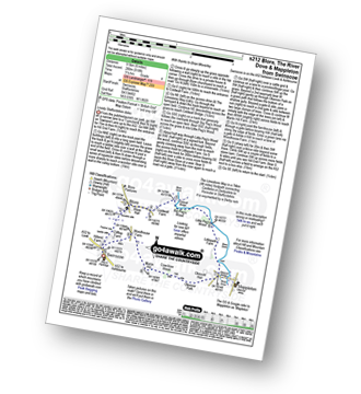
Route Summary:
Swinscoe - Hillend Farm - Feenie Lee - Blore - The Limestone Way - Coldwall Bridge - River Dove - Big Peg's Wood - Little Peg's Wood - Littlepark Farm - Mappleton (aka Mapleton) - Okeover Hall - Okeover Park - Cowclose Wood - Martin Hill - Woodhouse Farm - Swinscoe
See this list of walks, routes & maps in:
Grade Order | Length Order | Time Order | Walk Number or Start Location Order
NB. To reverse (toggle) this order, click Grade Order again
Not familiar with The Limestone Way?
See these 30 walks that include part of The Limestone Way on an interactive Google Map


