3 easy to follow walk route maps of all grades that include part of The Cuckoo Way
The Cuckoo Way is a 74km (46 miles) linear footpath connecting Chesterfield in Derbyshire, England with West Stockwith Lock in Nottinghamshire, England.
The Cuckoo Way is waymarked by Named Posts.
Not familiar with The Cuckoo Way?
See these 3 walks that include part of The Cuckoo Way on an interactive Google Map
   |
Vital Statistics:
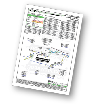
| Length: | 10 miles (16 km) |
| Ascent: | 515ft (157m) |
| Time: | 4½ hrs |
| Grade: |  |

Route Summary:
Harthill - Woodall - The Cuckoo Way - Kiveton Waters - Chesterfield Canal - Kiveton - Kiveton Park - Hawks Wood - Old Spring Wood - Turnerwood - Brook House Top Farm - Top Hall Farm - Crow Wood - Harthill
|
Vital Statistics:
| Length: | 8.25 miles (13 km) |
| Ascent: | 404ft (123m) |
| Time: | 3½ hrs |
| Grade: |  |

Route Summary:
Harthill - Woodall - The Cuckoo Way - Kiveton Waters - Chesterfield Canal - Kiveton - Kiveton Park - Hawks Wood - Thorpe Salvin - Loscar Wood - Crow Wood - Harthill
|
Vital Statistics:
| Length: | 6 miles (9.5 km) |
| Ascent: | 331ft (101m) |
| Time: | 2½ hrs |
| Grade: |  |
Route Summary:
Thorpe Salvin - Hawks Wood - The Cuckoo Way - Chesterfield Canal - Old Spring Wood - Turnerwood - Crow Wood - Thorpe Salvin
Not familiar with The Cuckoo Way?
See these 3 walks that include part of The Cuckoo Way on an interactive Google Map


