   |
Vital Statistics:
| Length: | 24mls (38.5km) |
| Ascent: | 5,297ft (1,614m) |
| Time: | 14hrs |
| Grade: |  |
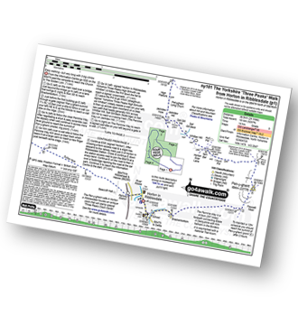
Route outline for walk ny101:
Horton in Ribblesdale - Pen-y-ghent Cafe - Brackenbottom - Gavel Rigg - The Pennine Way - Pen-y-ghent - Hunt Pot - Hull Pot - Whitber Hill - God's Bridge - Brow Gill Beck - Nether Lodge - River Ribble - Lodge Hall (or Ingman Lodge) - Ribblehead - Blea Moor - Whernside - Broadrake Farm - Chapel-le-Dale - Braithwaite Wife Hole - Ingleborough - Pen-y-ghent Cafe - Horton in Ribblesdale.


Points of Interest/Notes on this walk:
The Ribblehead Viaduct's 24 arches carry the famous Settle to Carlisle Railway Line for 400m some 30m above the surrounding countryside. Considered one of the great engineering feats of the 19th Century, there is a museum dedicated to the history of the line housed in Ribblehead Station.
Peaks, Summits and Tops reached on this walk:
 3 English Mountains |
 0 Wainwrights |
 3 English Nuttalls |
 0 English Deweys |
 0 Wainwright Outlying Fells |
 3 Marilyns |
 0 Bridgets |
Peak Bagging Statistics for this walk:
The highest point of this walk is Whernside at 736m (2416ft). Whernside is classified as an English Mountain (Hewitt) (76th highest in England, 131st highest in England & Wales)
Whernside is also known as an English Nuttall (95th highest in England, 162nd highest in England & Wales) and an English Marilyn (25th highest in England, 513th highest in the UK).
The summit of Whernside is marked by an Ordnance Survey Trig Point. Whernside is the highest point in The Yorkshire Dales National Park and the highest point in the county of North Yorkshire.
Completing this walk will also take you to the top of Ingleborough at 724m (2375ft). Ingleborough is classified as an English Mountain (Hewitt) (83rd highest in England, 144th highest in England & Wales)
Ingleborough is also known as an English Nuttall (104th highest in England, 178th highest in England & Wales) and an English Marilyn (26th highest in England, 540th highest in the UK).
The summit of Ingleborough is marked by an Ordnance Survey Trig Point.
You will also reach the summit of Pen-y-ghent at 694m (2277ft). Pen-y-ghent is classified as an English Mountain (Hewitt) (108th highest in England, 179th highest in England & Wales)
Pen-y-ghent is also known as an English Nuttall (142nd highest in England, 233rd highest in England & Wales) and an English Marilyn (33rd highest in England, 606th highest in the UK).
The summit of Pen-y-ghent is marked by an Ordnance Survey Trig Point.
National Trails & Long Paths included on this walk:
Part of this walk follows a section of The Pennine Way, a 404km (251 miles) linear footpath connecting Edale in Derbyshire, England with Kirk Yetholm in The Borders, Scotland. The Pennine Way is waymarked by a National Trail Acorn. For more walks that include a section of this trail see The Pennine Way.
You can find this walk and other nearby walks on these unique free-to-access Interactive Walk Planning Maps:
1:25,000 scale OS Explorer Map (orange/yellow covers):
1:50,000 scale OS Landranger Map (pink/magenta covers):
Some Photos and Pictures from Walk ny101 The Yorkshire Three Peaks from Horton in Ribblesdale
In no particular order . . .
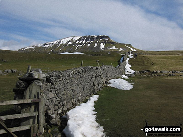
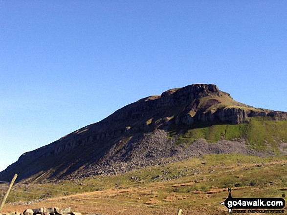
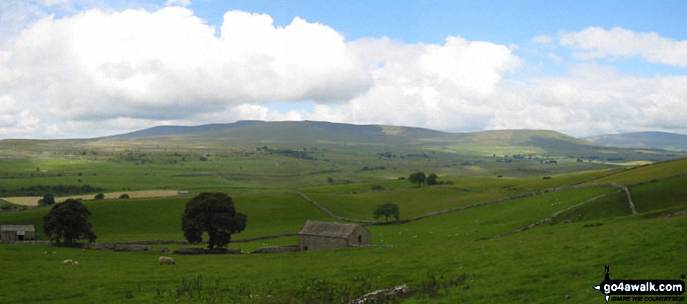
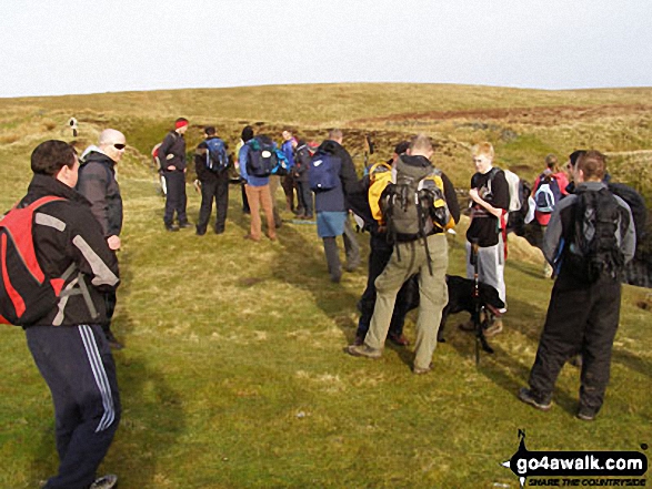
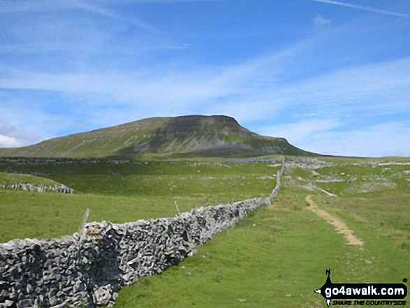
Approaching Pen-y-ghent from Brackenbottom on The Yorkshire Three Peaks Challenge
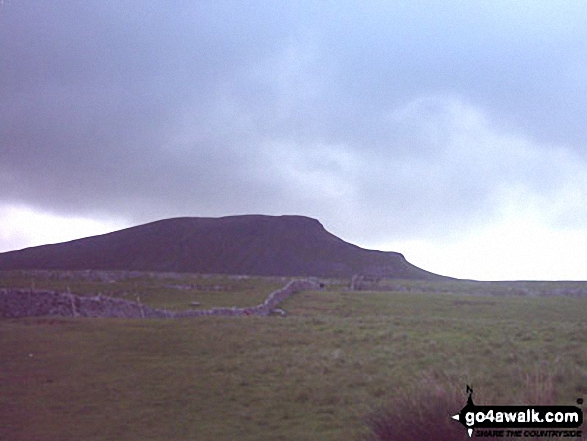
The Yorkshire Three Peaks Challenge - approaching Pen-y-ghent from Brackenbottom
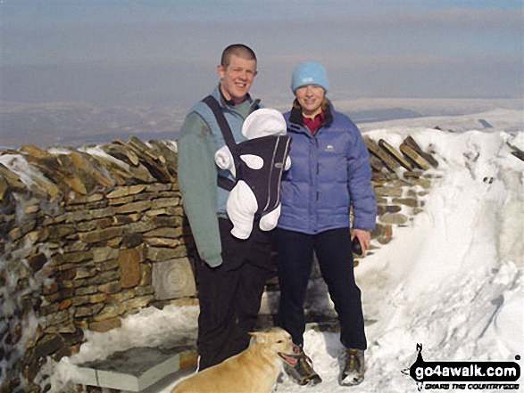
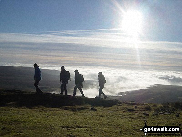
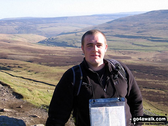
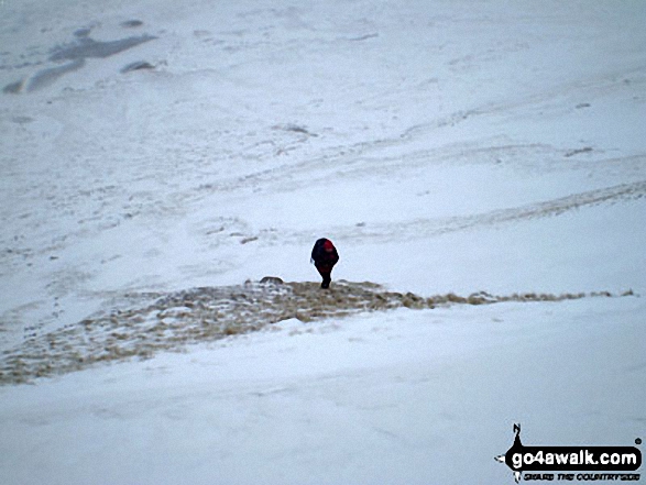
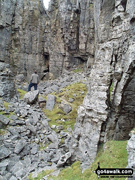
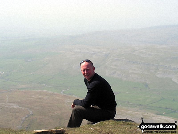
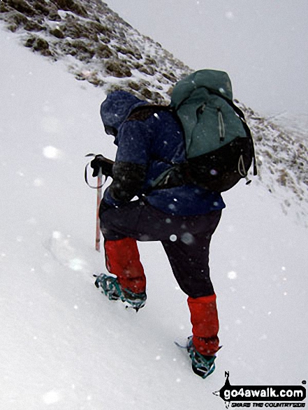
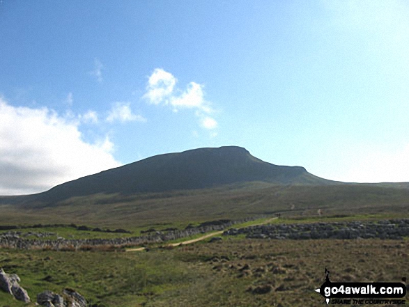
The Yorkshire Three Peaks Challenge - approaching Pen-y-ghent from Brackenbottom
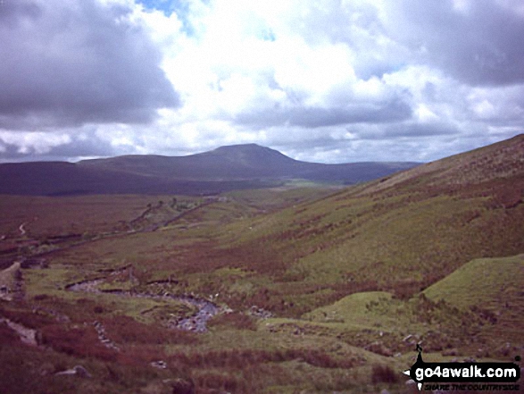
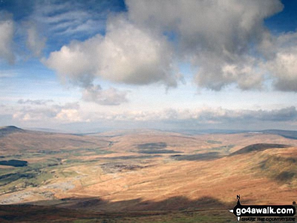
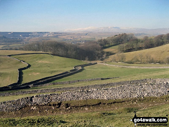
Whernside (left), The Ribblehead Viaduct (centre) and Park Fell (right) from the summit of Ingleborough
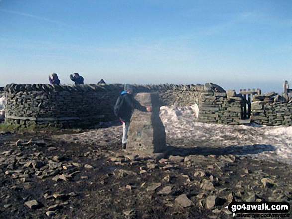
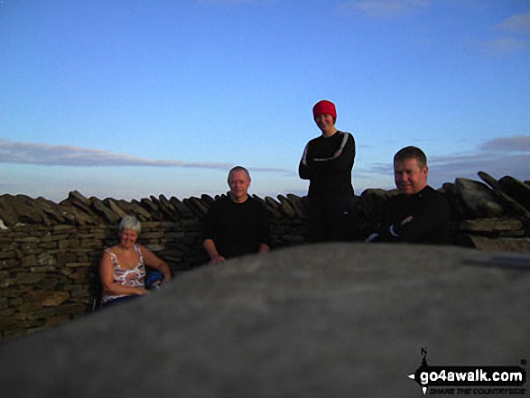
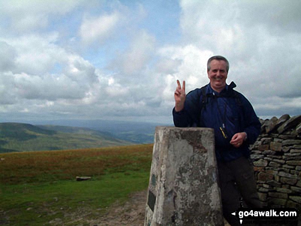
On Whernside Summit - taking a breather two thirds of the way round the Yorkshire Three Peaks Challenge Walk
. . . load all 159 walk photos from Walk ny101 The Yorkshire Three Peaks from Horton in Ribblesdale
Send us your photographs and pictures from your walks and hikes
We would love to see your photographs and pictures from walk ny101 The Yorkshire Three Peaks from Horton in Ribblesdale. Send them in to us as email attachments (configured for any computer) along with your name and where the picture was taken to:
and we shall do our best to publish them.
(Guide Resolution = 300dpi. At least = 660 pixels (wide) x 440 pixels (high).)

You can also submit photos from walk ny101 The Yorkshire Three Peaks from Horton in Ribblesdale via our Facebook Page.
NB. Please indicate where each photo was taken.