Walk ny146 High Green Field Knott (Cosh Knott) from Horton in Ribblesdale

This 10½ mile, Grade 6 (Moderate), easy-to-follow, hand-crafted walk, complete with GPS Waypoints, starts at Horton In Ribblesdale & will take about 5½ hrs to complete.

Download Walk PDF Icon
Download GPX Track Icon
Download GPS Waypoints Icon

Vital Statistics:

Length:10½mls (17km)
Ascent:1,566ft (477m)
Time:5½hrs
Grade:Walk Grade 6_23_with_text.png Icon

Route outline for walk ny146:

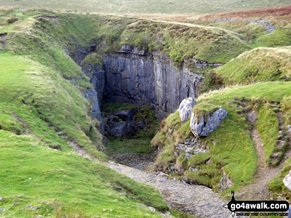
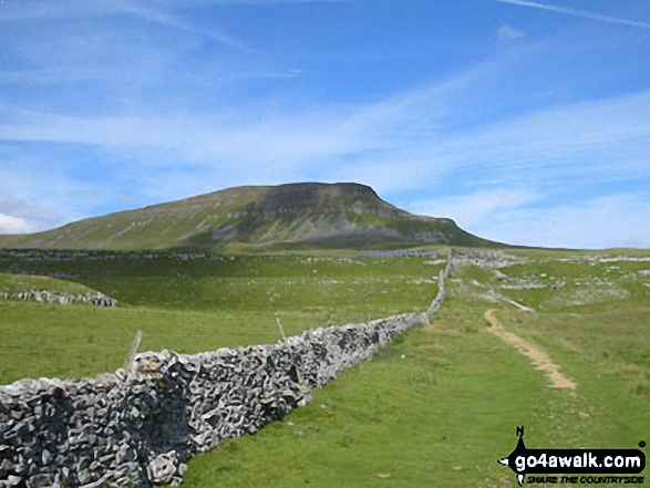
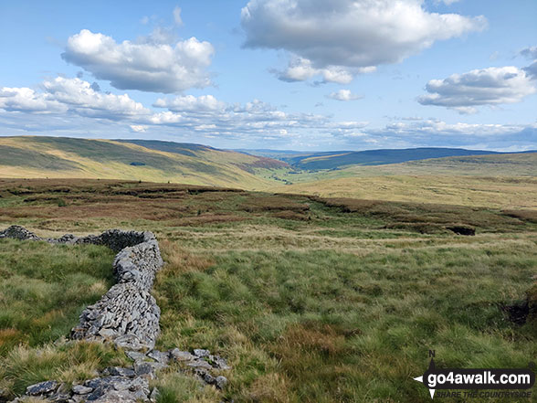
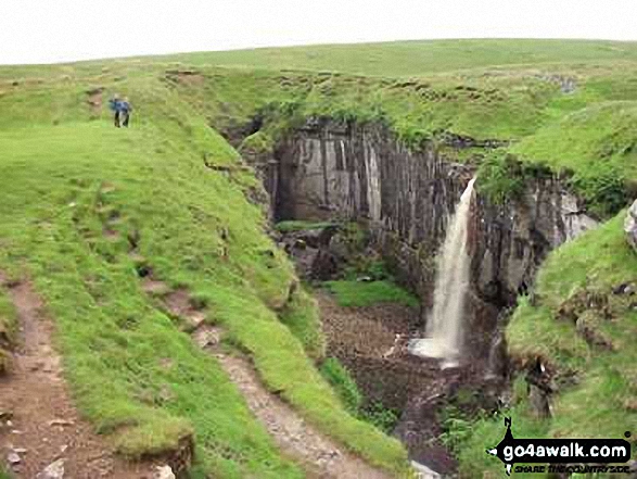
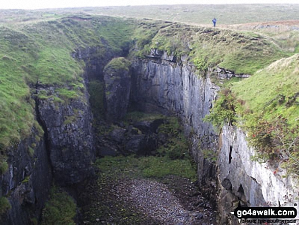
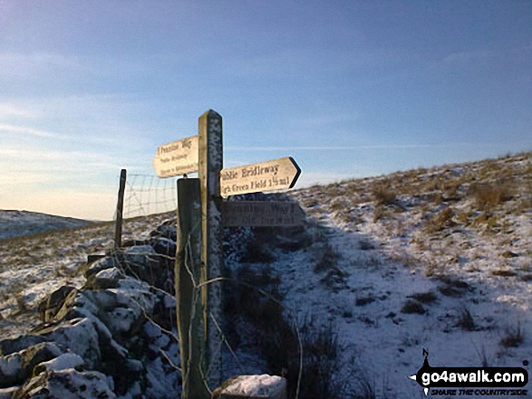
Horton In Ribblesdale  -  The Pennine Way  -  Sell Gill Holes  -  Sell Gill Beck  -  Red Moss Pot  -  Birkwith Moor  -  Birkwith Common  -  Green Haw Moor  -  Cosh Knott Well  -  Cosh Outside (Cosh Knott)  -  High Green Field Knott (Cosh Knott)  -  Cosh Beck Head  -  Lante Shop Caves  -  Cosh Water Gap  -  Black Banks  -  Turpen Horton Moor  -  Hull Pot Beck  -  Hull Pot  -  Hunt Pot  -  Horton Scar Lane  -  Horton In Ribblesdale

Peaks, Summits and Tops reached on this walk:

Hewitt Icon
0
English
Mountains
Wainwright Icon
0
Wainwrights
English Nuttall Icon
0
English
Nuttalls
Dewey Icon
1
English
Dewey
Wainwright Outlying Fell Icon
0
Wainwright
Outlying Fells
Marilyn Icon
0
Marilyns
Bridget Icon
1
Bridget

Peak Bagging Statistics for this walk:

The highest point of this walk is High Green Field Knott (Cosh Knott) at 602m (1975ft). High Green Field Knott (Cosh Knott) is also known as an English Dewey (10th highest in England, 23rd in England & Wales)

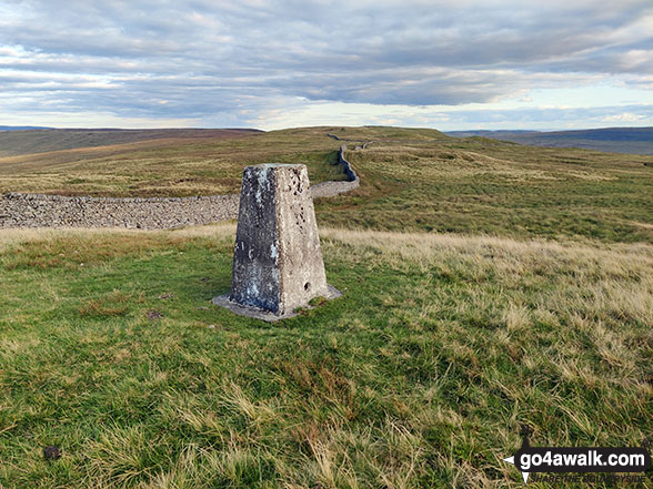
Completing this walk will also take you to the top of Cosh Outside (Cosh Knott) at 600m (1969ft). Cosh Outside (Cosh Knott) is known as an English Bridget. The summit of Cosh Outside (Cosh Knott) is marked by an Ordnance Survey Trig Point.

National Trails & Long Paths included on this walk:

Part of this walk follows a section of The Pennine Way, a 404km (251 miles) linear footpath connecting Edale in Derbyshire, England with Kirk Yetholm in The Borders, Scotland. The Pennine Way is waymarked by a National Trail Acorn. For more walks that include a section of this trail see The Pennine Way.


You can find this walk and other nearby walks on these unique Interactive Walk Planning Maps:

(worth a look if you're new to go4awalk.com & have never seen one of these before.)

The Yorkshire Dales National Park


1:25,000 scale OS Explorer Map (orange/yellow covers):

OS Explorer OL2 Yorkshire Dales - Southern & Western areas


1:50,000 scale OS Landranger Map (pink/magenta covers):

OS Landranger 98 Wensleydale & Upper Wharfedale


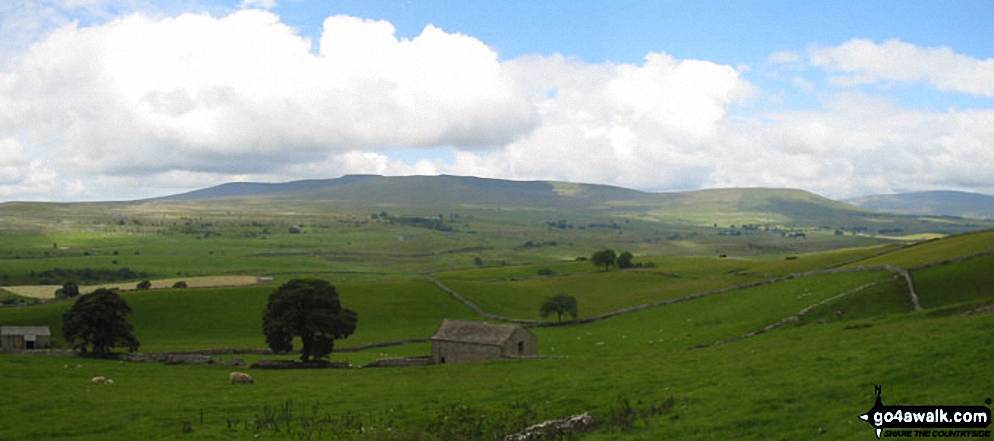
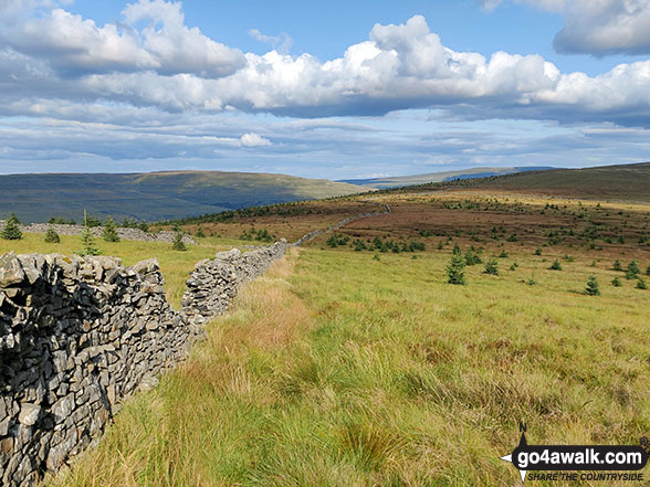
Some Photos and Pictures from Walk ny146 High Green Field Knott (Cosh Knott) from Horton in Ribblesdale

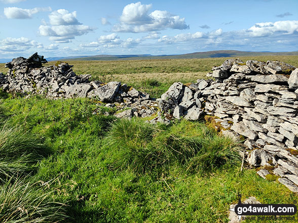
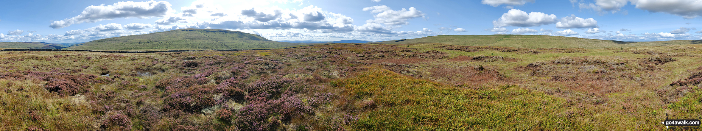
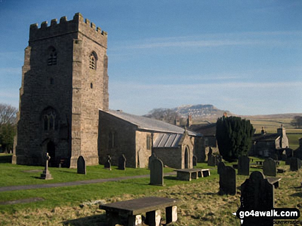
In no particular order . . .
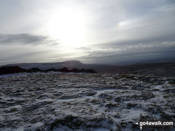
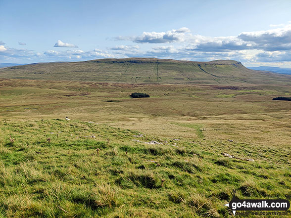
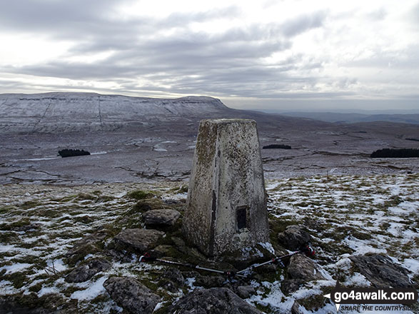
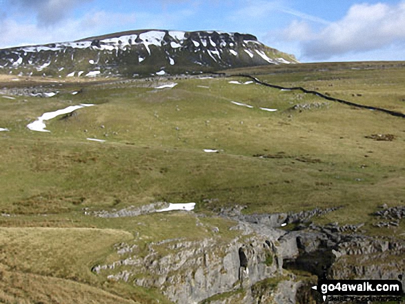
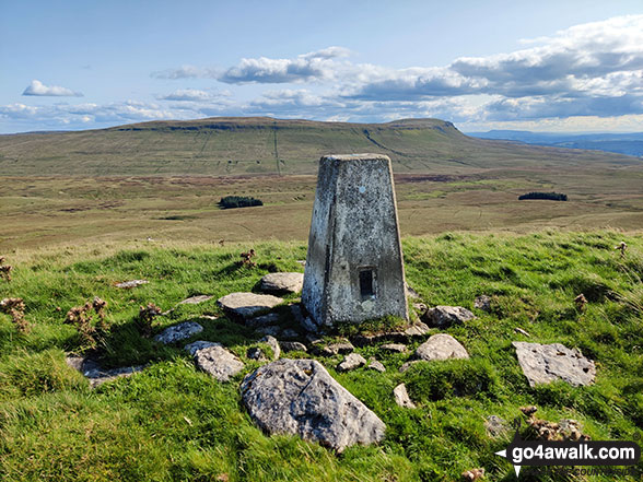
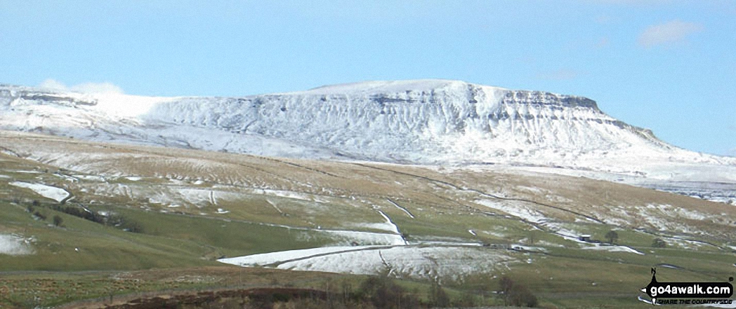
Ingleborough from the beacon on High Green Field Knott (Cosh Knott)

Ingleborough from the beacon on High Green Field Knott (Cosh Knott)

Photo: Peter Harrison (8)

On the Pennine Way near Red Moss Pot

On the Pennine Way near Red Moss Pot

Photo: Peter Harrison (11)

High Green Field Knott from Cosh Water Gap

High Green Field Knott from Cosh Water Gap

Photo: Mark Davidson (152)

Pen-y-ghent from the Pennine Way near Hull Pot

Pen-y-ghent from the Pennine Way near Hull Pot

Photo: Robert Hardaker (4)

Hull Pot Beck

Hull Pot Beck

Photo: Robert Hardaker (5)

*Pen-y-ghent covered in snow from Horton in Ribblesdale

Photo: Ron Linton (14)

The final stile in Horton in Ribblesdale at the end of the Yorkshire Three Peaks of Challenge Walk

The final stile in Horton in Ribblesdale at the end of the Yorkshire Three Peaks of Challenge Walk

Photo: Kevan Wilkinson (5)

The trig point on High Green Field Knott (Cosh Knott)

The trig point on High Green Field Knott (Cosh Knott)

Photo: Christine Shepherd (720)

Hull Pot and a frozen Hull Pot Beck

Hull Pot and a frozen Hull Pot Beck

Photo: Peter Harrison (10)

Panorama from the summit of Blaydike Moss

Photo: Mark Davidson (156)


. . . load all 41 walk photos from Walk ny146 High Green Field Knott (Cosh Knott) from Horton in Ribblesdale


Send us your photographs and pictures from your walks and hikes

Send them in to us as email attachments (configured for any computer) along with your name/username and where the picture was taken to:

and we shall do our best to publish them.

(Guide Resolution = 300dpi. At least = 660 pixels (wide) x 440 pixels (high).)

Facebook Logo

You can also submit photos via our Facebook Page.

NB. Please indicate where each photo was taken so we can match it to a walk route.


One impulse from vernal wood, may teach you more than man, of moral evil and of good, than all the sages can - William Wordsworth: 1770-1850
Follow go4awalk.com on Twitter Follow go4awalk.com on Facebook


Find new Friends to go walking with

Walk all 214 Wainwrights in just 59 Walks. Download GPS Waypoints - Great Walks you must not miss!

Walk The Yorkshire Three Peaks Challenge Walk - All the Latest Route Information, GPS Waypoints and Split Times to keep you on Schedule

Walk The British Three Peaks Challenge Walk - All the Latest Route Information and GPS Waypoints

See our pick of The Best Walks in The Lake District - Great Walks you must not miss!

Walk our pick of the Best Lake District Ridge Walks - Great Walks you must not miss!

Walk our pick of the Best Lake District Walks to do in the rain - Great Walks you must not miss!

Walk our pick of The Best Walks in Snowdonia - Great Walks you must not miss!

Walk our pick of The Best Ridge Walks in Wales - Walks you must not miss!

Walk our pick of The Best Walks in The Brecon Beacons - Great Walks you must not miss!

Walk our pick of The Best Walks in The Yorkshire Dales - Walks you must not miss!

Walk our pick of The Best Walks in The Peak District - Walks you must not miss!

Walk our pick of The Best Walks in The Forest of Bowland - Walks you must not miss!

Walk our pick of The Best Walks in Shropshire - Walks you must not miss!

Walk our pick of The Best Walks in Cheshire - Walks you must not miss!

Walk our pick of The Best Walks in Lancashire - Walks you must not miss!

Not sure where to walk next? Try Peak Bagging - Great Walks you must not miss!

Not sure where to walk next? Walk part of a National Trail - Great Walks you must not miss!

Walks with Downloadable and Uploadable GPS Waypoint Data

Walking Kit and Gear Tested by Walkers

Full Site Search
Do not miss our pick of the Best Walks in Britain