24 easy to follow walk route maps of all grades that include part of Wainwright's Coast to Coast Walk

The Wainwright's Coast to Coast Walk is a 306km (190 miles) linear footpath connecting St Bees in Cumbria, England with Robin Hood's Bay in North Yorkshire, England.

The Wainwright's Coast to Coast Walk is waymarked by the occasional sign.


See this list of walks, routes & maps in:

Grade Order | Length Order | Time Order | Walk Number or Start Location Order
NB. To reverse (toggle) this order, click Number Order again


Walk 1 Walking Bootprint Icon

Walk ny248 Kisdon and Keld from Muker

Moorland and gorge, with stunning waterfalls

Download GPS Waypoint Data for walk ny248
Download GPX Waypoint Data for walk ny248
Download Map and Route Details for walk ny248

Vital Statistics:

Length:7 miles (11 km)
Ascent:1,345ft (410m)
Time:3.75hrs
Grade:Grade 5 Walking Moderate
Walk 2 Walking Bootprint Icon

Walk ny221 Fremington Edge and Arkengarthdale from Reeth

Fine views - though can be wet underfoot

Download GPS Waypoint Data for walk ny221
Download GPX Waypoint Data for walk ny221
Download Map and Route Details for walk ny221

Vital Statistics:

Length:7 miles (11 km)
Ascent:1,674ft (411m)
Time:4 hrs
Grade:Grade 5 Walking Moderate
Walk 3 Walking Bootprint Icon

Walk ny174 Fremington Edge, Langthwaite and Arkengarthdale from Reeth

Fine views - though can be wet underfoot

Download GPS Waypoint Data for walk ny174
Download GPX Waypoint Data for walk ny174
Download Map and Route Details for walk ny174

Vital Statistics:

Length:9 miles (14.5 km)
Ascent:1,674ft (510m)
Time:5 hrs
Grade:Grade 5 Walking Moderate
Walk 4 Walking Bootprint Icon

Walk ny145 Tan Hill and Robert's Seat from Keld

Where The Pennine Way meets The Coast to Coast walk

Download GPS Waypoint Data for walk ny145
Download GPX Waypoint Data for walk ny145
Download Map and Route Details for walk ny145

Vital Statistics:

Length:11.25 miles (18 km)
Ascent:2,091ft (637m)
Time:6.25hrs
Grade:Grade 6 Walking Moderate
Walk 5 Walking Bootprint Icon

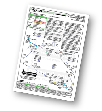
Walk ny140 Fremington Edge and Calver Hill from Reeth

Fine fine views

Download GPS Waypoint Data for walk ny140
Download GPX Waypoint Data for walk ny140
Download Map and Route Details for walk ny140

Vital Statistics:

Length:8.75 miles (14 km)
Ascent:1,870ft (570m)
Time:5 hrs
Grade:Grade 6 Walking Moderate
Walk 6 Walking Bootprint Icon

Walk ny103 Rogan's Seat and Water Crag (Arkengarthdale) from Keld

Excellent 360 degree views

Download GPS Waypoint Data for walk ny103
Download GPX Waypoint Data for walk ny103
Download Map and Route Details for walk ny103

Vital Statistics:

Length:11 miles (17.5 km)
Ascent:2,681ft (817m)
Time:6.75hrs
Grade:Grade 7 Walking Hard
Walk 7 Walking Bootprint Icon

Walk c442 Great Gable and Green Gable from Honister Hause

Easy to follow paths - a Lakeland classic

Download GPS Waypoint Data for walk c442
Download GPX Waypoint Data for walk c442
Download Map and Route Details for walk c442

Vital Statistics:

Length:5.75 miles (9 km)
Ascent:2,340ft (731m)
Time:4½ hrs
Grade:Grade 5 Walking Moderate
Walk 8 Walking Bootprint Icon

Walk c417 Base Brown, Great Gable and Kirk Fell from Honister Hause

Easy to follow paths with great views

Download GPS Waypoint Data for walk c417
Download GPX Waypoint Data for walk c417
Download Map and Route Details for walk c417

Vital Statistics:

Length:9 miles (14.5 km)
Ascent:3,965ft (1,208m)
Time:7½ hrs
Grade:Grade 7 Walking Hard
Walk 9 Walking Bootprint Icon

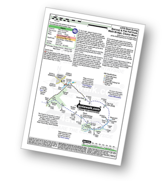
Walk c410 Dent (Long Barrow) and Flat Fell from Wath Bridge, Cleator Moor

Superb views

Download GPS Waypoint Data for walk c410
Download GPX Waypoint Data for walk c410
Download Map and Route Details for walk c410

Vital Statistics:

Length:6.25 miles (10 km)
Ascent:1,523ft (464m)
Time:3.75hrs
Grade:Grade 5 Walking Moderate
Walk 10 Walking Bootprint Icon

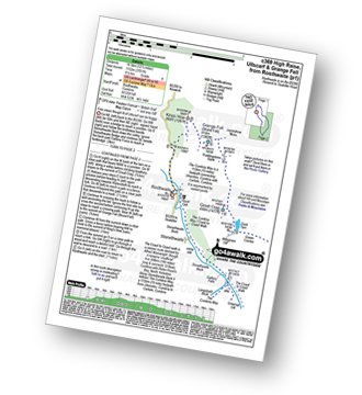
Walk c369 High Raise, Ullscarf and Grange Fell from Rosthwaite

Good views though N of Ullscarf can be boggy

Download GPS Waypoint Data for walk c369
Download GPX Waypoint Data for walk c369
Download Map and Route Details for walk c369

Vital Statistics:

Length:12.25 miles (19.5 km)
Ascent:3,781ft (1,152m)
Time:8½ hrs
Grade:Grade 8 Walking Hard
Walk 11 Walking Bootprint Icon

Walk c350 Helm Crag from Grasmere

One steep ascent to fine views of Grasemere

Download GPS Waypoint Data for walk c350
Download GPX Waypoint Data for walk c350
Download Map and Route Details for walk c350

Vital Statistics:

Length:3.75 miles (6 km)
Ascent:1,201ft (366m)
Time:3 hrs
Grade:Grade 3 Walking Easy
Walk 12 Walking Bootprint Icon

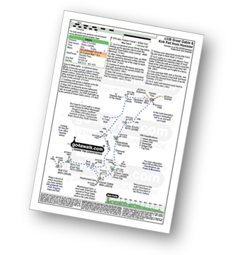
Walk c338 Great Gable and Kirk Fell from Honister Hause

Easy to follow paths - a Lakeland classic

Download GPS Waypoint Data for walk c338
Download GPX Waypoint Data for walk c338
Download Map and Route Details for walk c338

Vital Statistics:

Length:7.5 miles (12 km)
Ascent:3,289ft (1,002m)
Time:6 hrs
Grade:Grade 6 Walking Moderate
Walk 13 Walking Bootprint Icon

Walk c329 The Langdale Pikes and High Raise from Stonethwaite

Superb ridge walk with magnificent views

Download GPS Waypoint Data for walk c329
Download GPX Waypoint Data for walk c329
Download Map and Route Details for walk c329

Vital Statistics:

Length:12 miles (19 km)
Ascent:3,502ft (1,067m)
Time:7.75hrs
Grade:Grade 8 Walking Hard
Walk 14 Walking Bootprint Icon

Walk c270 Low Saddle and Ullscarf from Stonethwaite

Fine views though can be a little boggy

Download GPS Waypoint Data for walk c270
Download GPX Waypoint Data for walk c270
Download Map and Route Details for walk c270

Vital Statistics:

Length:7.75 miles (12.5 km)
Ascent:2,419ft (737m)
Time:5.25hrs
Grade:Grade 6 Walking Moderate
Walk 15 Walking Bootprint Icon

Walk c266 Seat Sandal and Fairfield from Grasmere

Fabulous views - classic Lakeland

Download GPS Waypoint Data for walk c266
Download GPX Waypoint Data for walk c266
Download Map and Route Details for walk c266

Vital Statistics:

Length:7.5 miles (12 km)
Ascent:3,116ft (950m)
Time:6 hrs
Grade:Grade 6 Walking Moderate
Walk 16 Walking Bootprint Icon

Walk c251 The Mardale Head Horizon from Mardale Head

Stunning Haweswater

Download GPS Waypoint Data for walk c251
Download GPX Waypoint Data for walk c251
Download Map and Route Details for walk c251

Vital Statistics:

Length:12.5 miles (20 km)
Ascent:3,814ft (1,162m)
Time:8½ hrs
Grade:Grade 8 Walking Hard
Walk 17 Walking Bootprint Icon

Walk c243 High Raise and Ullscarf from Rosthwaite

Fine views though N of Ullscarf - can be boggy

Download GPS Waypoint Data for walk c243
Download GPX Waypoint Data for walk c243
Download Map and Route Details for walk c243

Vital Statistics:

Length:11.25 miles (18 km)
Ascent:3,371ft (1,027m)
Time:7½ hrs
Grade:Grade 7 Walking Hard
Walk 18 Walking Bootprint Icon

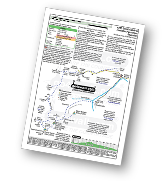
Walk c241 Great Gable and Honister Pass from Seatoller (Borrowdale)

Easy to follow paths - a Lakeland classic

Download GPS Waypoint Data for walk c241
Download GPX Waypoint Data for walk c241
Download Map and Route Details for walk c241

Vital Statistics:

Length:8.25 miles (13 km)
Ascent:3,016ft (919m)
Time:6 hrs
Grade:Grade 6 Walking Moderate
Walk 19 Walking Bootprint Icon

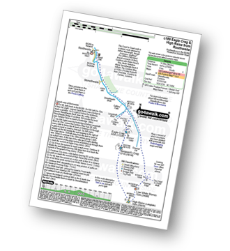
Walk c189 High Raise from Rosthwaite

Superb view of Borrowdale

Download GPS Waypoint Data for walk c189
Download GPX Waypoint Data for walk c189
Download Map and Route Details for walk c189

Vital Statistics:

Length:9 miles (14.5 km)
Ascent:2,780ft (847m)
Time:6 hrs
Grade:Grade 6 Walking Moderate
Walk 20 Walking Bootprint Icon

Walk c174 Glaramara and Great Gable from Seatoller (Borrowdale)

Rough paths but generally easy to follow

Download GPS Waypoint Data for walk c174
Download GPX Waypoint Data for walk c174
Download Map and Route Details for walk c174

Vital Statistics:

Length:10.5 miles (17 km)
Ascent:4,693ft (1,430m)
Time:8½ hrs
Grade:Grade 8 Walking Hard
Walk 21 Walking Bootprint Icon

Walk c152 Calf Crag and Helm Crag from Grasmere

One steep ascent to fine views of Grasmere

Download GPS Waypoint Data for walk c152
Download GPX Waypoint Data for walk c152
Download Map and Route Details for walk c152

Vital Statistics:

Length:8.75 miles (14 km)
Ascent:2,212ft (674m)
Time:5½ hrs
Grade:Grade 6 Walking Moderate
Walk 22 Walking Bootprint Icon

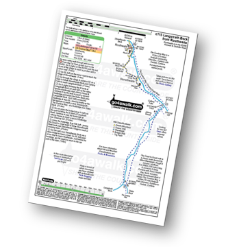
Walk c115 Langstrath Beck from Rosthwaite

An easy valley walk through wild country

Download GPS Waypoint Data for walk c115
Download GPX Waypoint Data for walk c115
Download Map and Route Details for walk c115

Vital Statistics:

Length:8.25 miles (13 km)
Ascent:1,031ft (314m)
Time:4 hrs
Grade:Grade 4 Walking Moderate
Walk 23 Walking Bootprint Icon

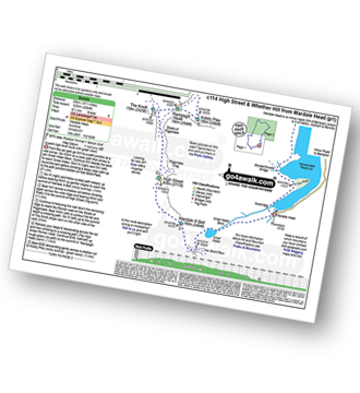
Walk c114 High Street from Mardale Head

Superb high level route with great views

Download GPS Waypoint Data for walk c114
Download GPX Waypoint Data for walk c114
Download Map and Route Details for walk c114

Vital Statistics:

Length:14.5 miles (23 km)
Ascent:3,364ft (1,025m)
Time:8½ hrs
Grade:Grade 8 Walking Hard
Walk 24 Walking Bootprint Icon

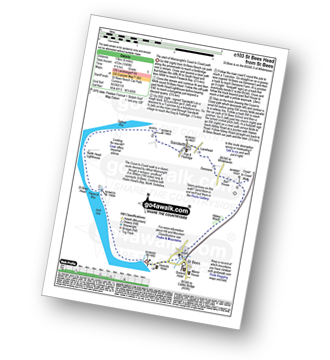
Walk c103 St Bees Head Lighthouse andd Sandwith from St Bees

The start of Wainwright's Coast to Coast path

Download GPS Waypoint Data for walk c103
Download GPX Waypoint Data for walk c103
Download Map and Route Details for walk c103

Vital Statistics:

Length:8.25 miles (13 km)
Ascent:1,549ft (472m)
Time:4½ hrs
Grade:Grade 5 Walking Moderate

See this list of walks, routes & maps in:

Grade Order | Length Order | Time Order | Walk Number or Start Location Order
NB. To reverse (toggle) this order, click Number Order again


Follow go4awalk.com on Twitter Follow go4awalk.com on Facebook


Home


Find new Friends to go walking with

Walk all 214 Wainwrights in just 59 Walks. Download GPS Waypoints - Great Walks you must not miss!

Walk The Yorkshire Three Peaks Challenge Walk - All the Latest Route Information, GPS Waypoints and Split Times to keep you on Schedule

Walk The British Three Peaks Challenge Walk - All the Latest Route Information and GPS Waypoints

See our pick of The Best Walks in The Lake District - Great Walks you must not miss!

Walk our pick of the Best Lake District Ridge Walks - Great Walks you must not miss!

Walk our pick of the Best Lake District Walks to do in the rain - Great Walks you must not miss!

Walk our pick of The Best Walks in Snowdonia - Great Walks you must not miss!

Walk our pick of The Best Ridge Walks in Wales - Walks you must not miss!

Walk our pick of The Best Walks in The Brecon Beacons - Great Walks you must not miss!

Walk our pick of The Best Walks in The Yorkshire Dales - Walks you must not miss!

Walk our pick of The Best Walks in The Peak District - Walks you must not miss!

Walk our pick of The Best Walks in The Forest of Bowland - Walks you must not miss!

Walk our pick of The Best Walks in Shropshire - Walks you must not miss!

Walk our pick of The Best Walks in Cheshire - Walks you must not miss!

Walk our pick of The Best Walks in Lancashire - Walks you must not miss!

Not sure where to walk next? Try Peak Bagging - Great Walks you must not miss!

Not sure where to walk next? Walk part of a National Trail - Great Walks you must not miss!

Walks with Downloadable and Uploadable GPS Waypoint Data

Walking Kit and Gear Tested by Walkers

Full Site Search