|
Vital Statistics:
| Length: | 12¼mls (19.5km) |
| Ascent: | 3,781ft (1,152m) |
| Time: | 8½hrs |
| Grade: |  |
Route outline for walk c369:
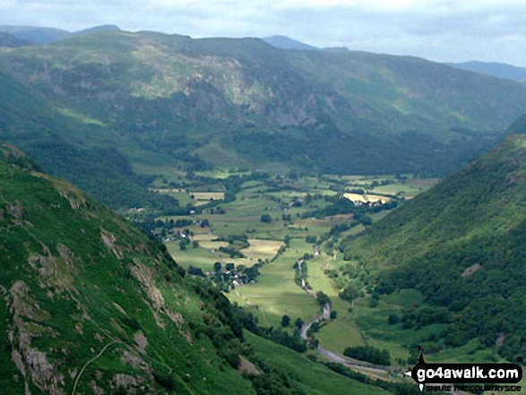
Rosthwaite - The Cumbria Way - Stonethwaite - Wainwright's Coast to Coast Walk - Stonethwaite Beck - Galleny Force - The Cumbria Way - Langstrath Beck - Eagle Crag - Sergeant's Crag - High Raise (Langdale) - Low White Stones - Greenup Edge - Ullscarf - Low Saddle (Coldbarrow Fell) - Lord's How - Dock Tarn - Great Crag - Puddingstone Bank - Jopplety How - Joppletyhow Moss - Grange Fell (Brund Fell) - King's How - Rosthwaite
Peaks, Summits and Tops reached on this walk:
 2 English Mountains |
 6 Wainwrights |
 3 English Nuttalls |
 1 English Dewey |
 0 Wainwright Outlying Fells |
 1 Marilyn |
 2 Bridgets |
Peak Bagging Statistics for this walk:
The highest point of this walk is High Raise (Langdale) at 762m (2501ft). High Raise (Langdale) is classified as an English Mountain (Hewitt) (65th highest in England, 111th highest in England & Wales) and a Wainwright (No. 57).
High Raise (Langdale) is also known as an English Nuttall (79th highest in England, 135th highest in England & Wales) and an English Marilyn (20th highest in England, 467th highest in the UK).
The summit of High Raise (Langdale) is marked by an Ordnance Survey Trig Point.
Completing this walk will also take you to the top of Low White Stones at 733m (2406ft). Low White Stones is known as an English Bridget.
You will also reach the summit of Ullscarf at 723m (2372ft). Ullscarf is classified as an English Mountain (Hewitt) (84th highest in England, 145th highest in England & Wales) and a Wainwright (No. 74).
Ullscarf is also known as an English Nuttall (106th highest in England, 180th highest in England & Wales).
Along the way you will also bag:
- Low Saddle (Coldbarrow Fell) at 656m (2153ft). Low Saddle (Coldbarrow Fell) is known as an English Nuttall (186th highest in England, 321st highest in England & Wales).
- Sergeant's Crag at 571m (1874ft). Sergeant's Crag is classified as a Wainwright (No. 140) and an English Dewey (40th highest in England, 89th highest in England & Wales)
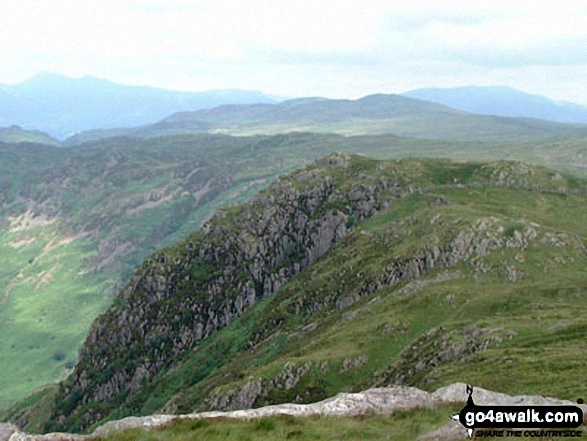
- Eagle Crag at 525m (1723ft). Eagle Crag is classified as a Wainwright (No. 160)
- Great Crag at 450m (1476ft). Great Crag is classified as a Wainwright (No. 191)
- Grange Fell (Brund Fell) at 415m (1362ft). Grange Fell (Brund Fell) is classified as a Wainwright (No. 199)
- King's How at 392m (1286ft). King's How is known as an English Bridget.
National Trails & Long Paths included on this walk:
Part of this walk follows a section of The Cumbria Way, a 112km (70 miles) linear footpath connecting Ulverston in Cumbria, England with Carlisle in Cumbria, England. The Cumbria Way is waymarked by named posts. For more walks that include a section of this trail see The Cumbria Way.
Part of this walk also follows a section of Wainwright's Coast to Coast Walk, a 306km (190 miles) linear footpath connecting St Bees in Cumbria, England with Robin Hood's Bay in North Yorkshire, England. Wainwright's Coast to Coast Walk is waymarked by the occasional sign. For more walks that include a section of this trail see Wainwright's Coast to Coast Walk.
You can find this walk and other nearby walks on these unique free-to-access Interactive Walk Planning Maps:
1:25,000 scale OS Explorer Map (orange/yellow covers):
1:50,000 scale OS Landranger Maps (pink/magenta covers):
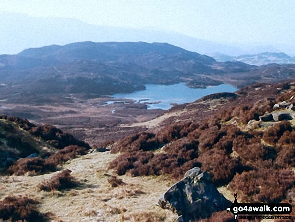
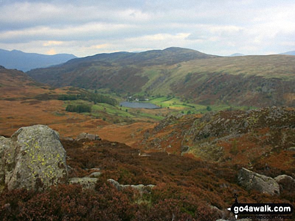
Some Photos and Pictures from Walk c369 High Raise, Ullscarf and Grange Fell from Rosthwaite
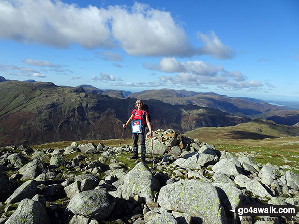
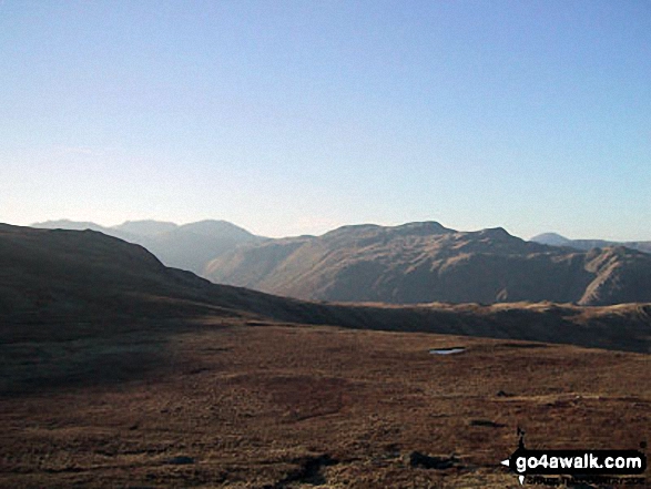
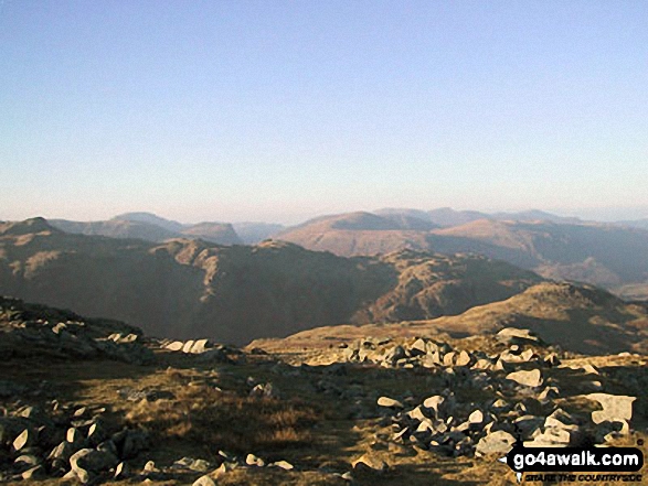
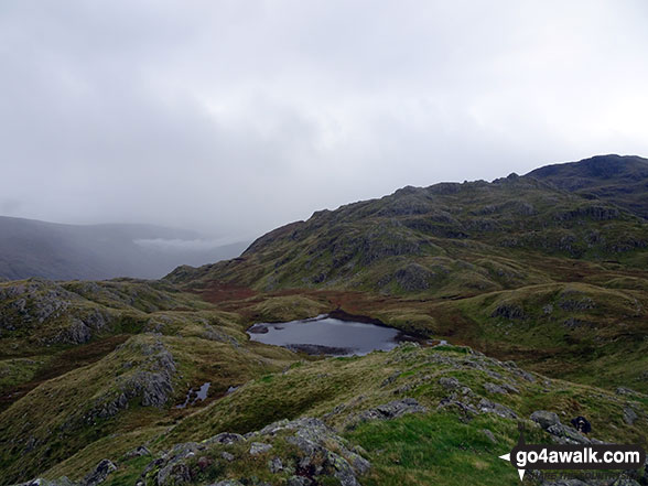
In no particular order . . .
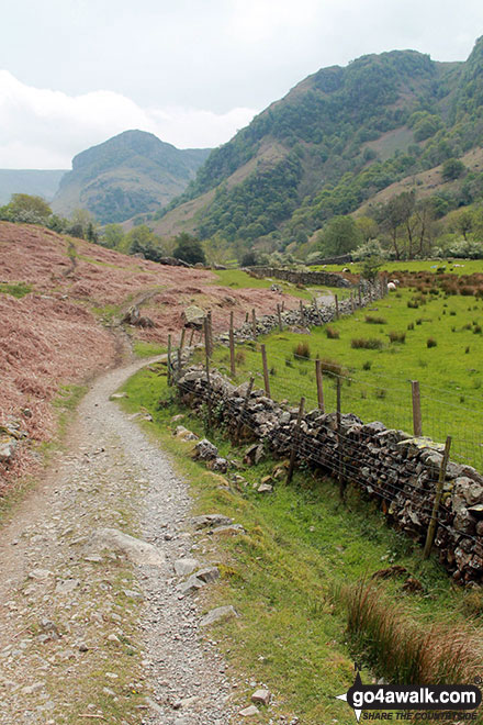
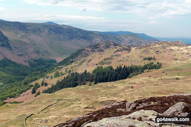
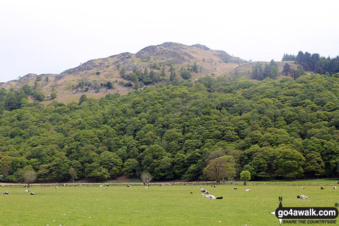
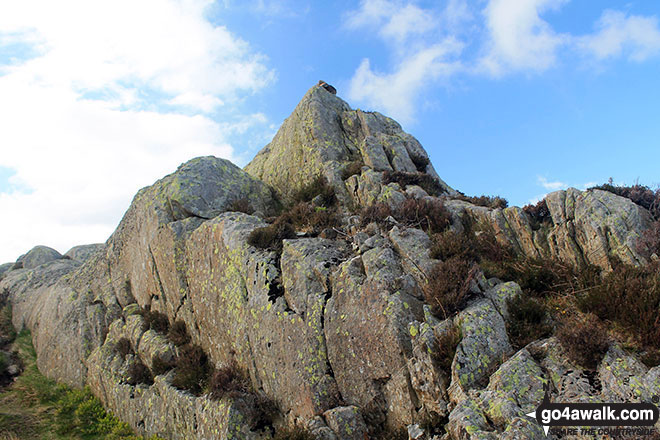
On the Cumbrian Way beside Stonethwaite Beck looking up Borrowdale to Alisongrass Crag and Eagle Crag
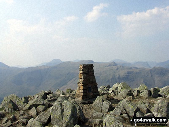
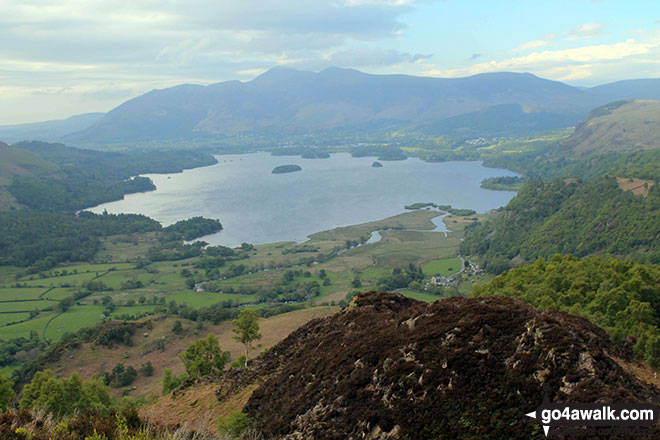
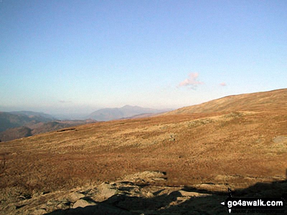
Derwent Water, with Skiddaw and Blencathra beyond from the summit of King's How
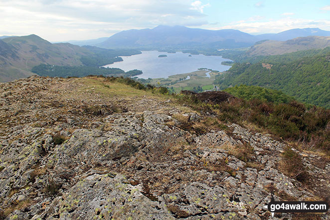
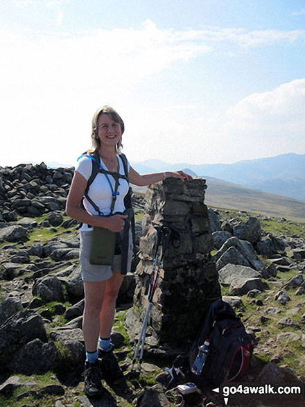
The summit of King's How with Derwent Water and Skiddaw in the distance
. . . load all 119 walk photos from Walk c369 High Raise, Ullscarf and Grange Fell from Rosthwaite
Send us your photographs and pictures from your walks and hikes
We would love to see your photographs and pictures from walk c369 High Raise, Ullscarf and Grange Fell from Rosthwaite. Send them in to us as email attachments (configured for any computer) along with your name and where the picture was taken to:
and we shall do our best to publish them.
(Guide Resolution = 300dpi. At least = 660 pixels (wide) x 440 pixels (high).)

You can also submit photos from walk c369 High Raise, Ullscarf and Grange Fell from Rosthwaite via our Facebook Page.
NB. Please indicate where each photo was taken.