Seven easy to follow circular walk route maps from the tiny village of Seathwaite (Borrowdale) in the The Lake District National Park, Cumbria, England

   |
Vital Statistics:
| Length: | 6 miles (9.5 km) |
| Ascent: | 2,845ft (867m) |
| Time: | 5 hrs |
| Grade: |  |

Route Summary:
Seathwaite (Borrowdale) - Stockley Bridge - Styhead Tarn - Sty Head - Great Gable - Westmorland Cairn - Windy Gap - Green Gable - Mitchell Cove - Blackmoor Pols - Base Brown - Gillercomb - Sour Milk Gill (Borrowdale) - Seathwaite (Borrowdale)


|
Vital Statistics:
| Length: | 8.25 miles (13 km) |
| Ascent: | 3,016ft (919m) |
| Time: | 6 hrs |
| Grade: | |
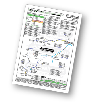
Route Summary:
Seatoller - Seathwaite (Borrowdale) - Sourmilk Gill (Borrowdale) - Gillercomb - Blackmoor Pols - Mitchell Cove - Green Gable - Windy Gap - Great Gable - Westmorland Cairn - Beck Head - Beckhead Tarn - Moses' Trod - Honister Pass - Honister Hause - Wainwright's Coast to Coast Walk - Seatoller

|
Vital Statistics:
| Length: | 10.5 miles (17 km) |
| Ascent: | 3,407ft (1,038m) |
| Time: | 7.25hrs |
| Grade: |  |

Route Summary:
Seatoller - Big Stanger Gill - Hanging Haystack Crag - Alisongrass Crag - Rosthwaite Fell (Bessyboot) - Tarn At Leaves - Rosthwaite Cam (Rosthwaite Fell) - Dovenest Top - Combe Door Top - Combe Head - Glaramara - Looking Steads (Glaramara) - Red Beck Top - High House Tarn Top - Allen Crags - Sprinking Tarn - Seathwaite Fell (South Top) - Seathwaite Fell - Grains Gill - The Allerdale Ramble - Stockley Bridge - Seathwaite (Borrowdale) - Thornythwaite Farm - Strands Bridge - The River Derwent - Seatoller

|
Vital Statistics:
| Length: | 9.5 miles (15 km) |
| Ascent: | 3,477ft (1,060m) |
| Time: | 7 hrs |
| Grade: | |

Route Summary:
Seathwaite (Borrowdale) - Grains Gill - Styhead Gill - Styhead Tarn - Corridor Route - Scafell Pike - Broad Crag - Ill Crag - Great End - Esk Hause - Grains Gill - Seathwaite (Borrowdale)

|
Vital Statistics:
| Length: | 9.75 miles (15.5 km) |
| Ascent: | 3,046ft (928m) |
| Time: | 6½ hrs |
| Grade: | |

Route Summary:
Seatoller - Strands Bridge - Borrowdale - The Combe - Thornythwaite Fell - Comb Head - Glaramara - Looking Steads (Glaramara) - Red Beck - Red Beck Top - Allen Gill - High House Tarn - High House Tarn Top - Allen Crags - Esk Hause - Ruddy Gill - Sprinkling Tarn - Sty Head - Sty Head Tarn - Sty Head Gill - Stockley Bridge - Grains Gill - Seathwaite (Borrowdale) - The Allerdale Ramble - Seatoller

|
Vital Statistics:
| Length: | 8.5 miles (13.5 km) |
| Ascent: | 3,289ft (1,020m) |
| Time: | 6½ hrs |
| Grade: | |
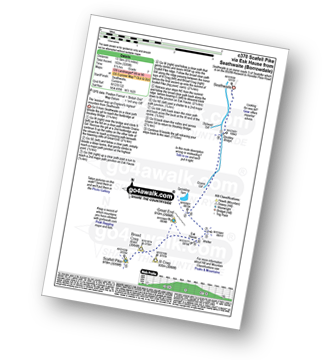
Route Summary:
Seathwaite (Borrowdale) - Stockley Bridge - Grains Gill - Ruddy Gill - Sprinkling Tarn - Esk Hause - Scafell Pike - Esk Hause - Grains Gill - Stockley Bridge - Seathwaite (Borrowdale)

|
Vital Statistics:
| Length: | 9 miles (14.5 km) |
| Ascent: | 3,236ft (986m) |
| Time: | 6.75hrs |
| Grade: | |

Route Summary:
Seathwaite (Borrowdale) - Grains Gill - Stockley Bridge - Styhead Gill - Styhead Tarn - Sty Head - The Corridor Route - Skew Gill - Greta Gill - Piers Gill - Scafell Pike - The Corridor Route - Sty Head - Stockley Bridge - Seathwaite (Borrowdale)