   |
Vital Statistics:
| Length: | 7¼mls (11.5km) |
| Ascent: | 1,388ft (423m) |
| Time: | 4hrs |
| Grade: |  |
Route outline for walk d257:
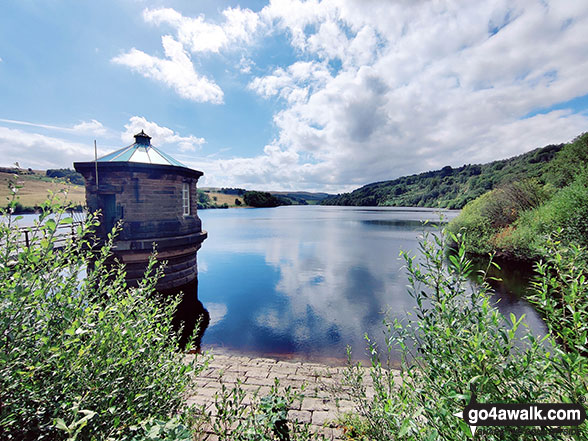
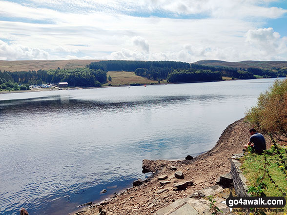
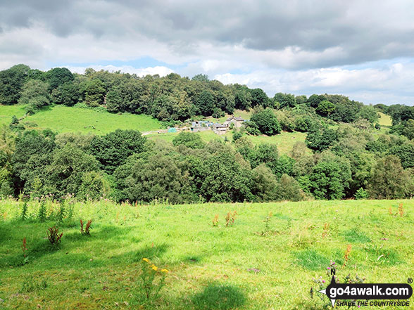
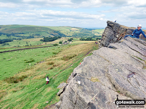
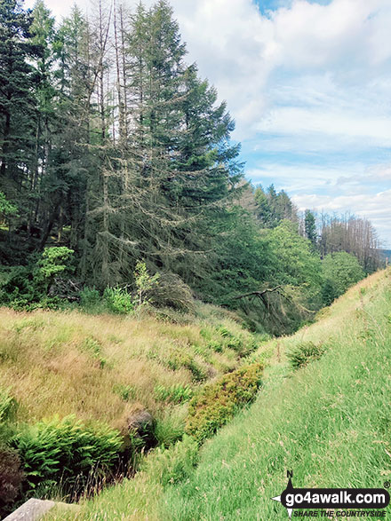
Errwood Reservoir - The Goyt Valley - The Street - Fernilee Reservoir - Jep Clough - Deep Clough - Mill Clough - The Midshires Way - Knife Farm - Madscar Farm - Overton Hall Farm - Taxal Edge - Windgather Rocks - Goyt Forest - Pym Chair - The Street - Foxlow Edge - The Goyt Valley - Errwood Hall - Errwood Reservoir
National Trails & Long Paths included on this walk:
Part of this walk follows a section of The Midshires Way, a 362km (225 miles) linear footpath connecting Hampton Wainhill near Bledlow in Buckinghamshire, England with Stockport in Greater Manchester, England. The Midshires Way is waymarked by named posts. For more walks that include a section of this trail see The Midshires Way.
You can find this walk and other nearby walks on these unique free-to-access Interactive Walk Planning Maps:
1:25,000 scale OS Explorer Map (orange/yellow covers):
1:50,000 scale OS Landranger Maps (pink/magenta covers):
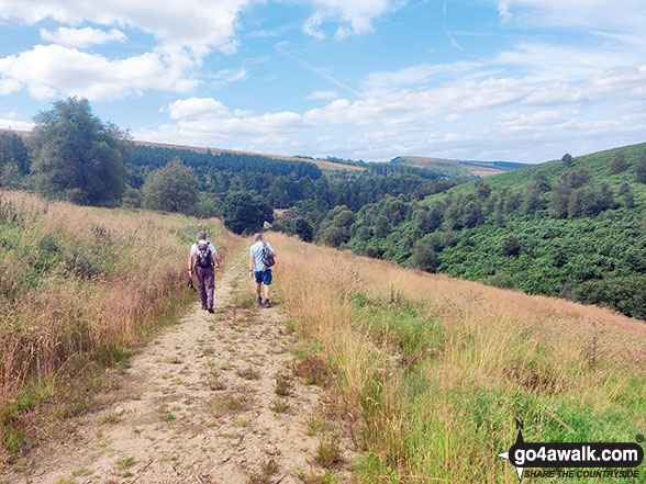
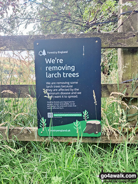
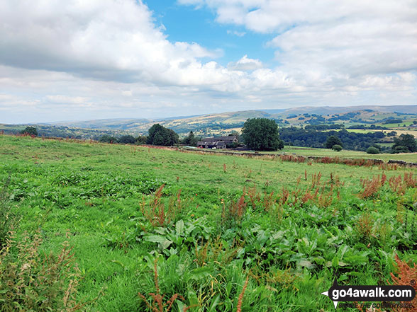
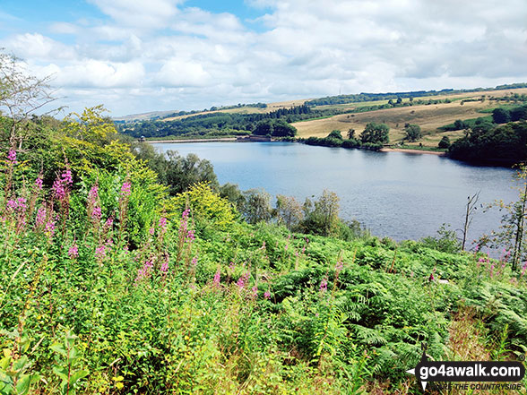
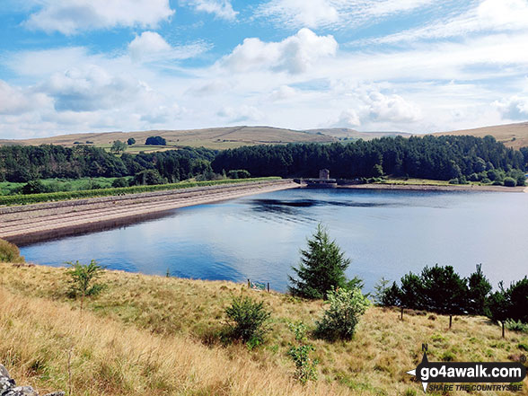
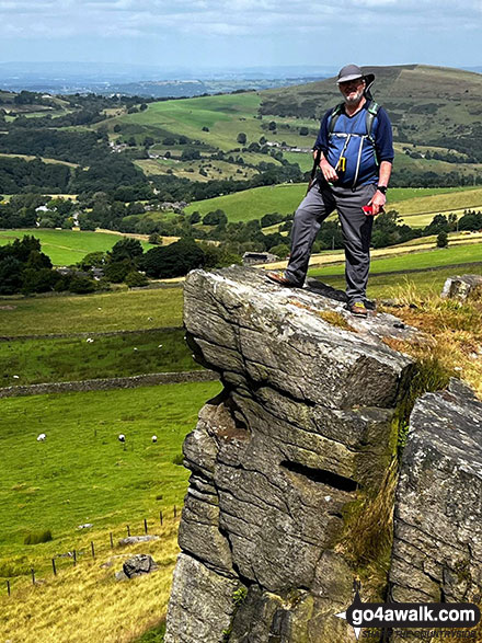
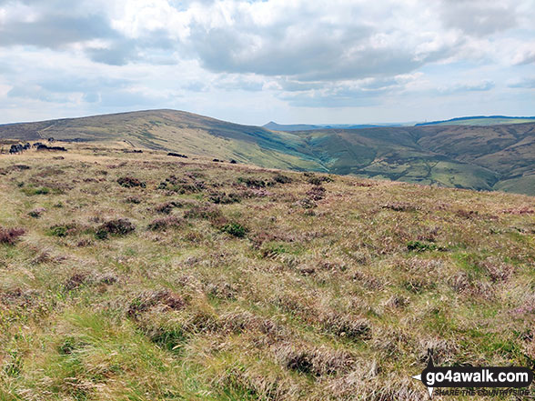
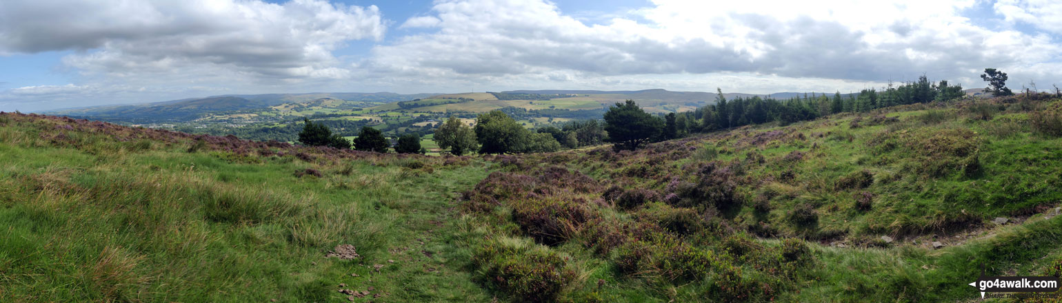
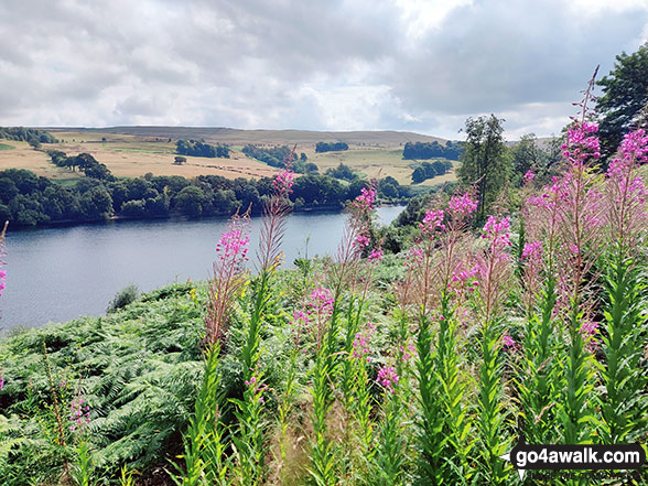
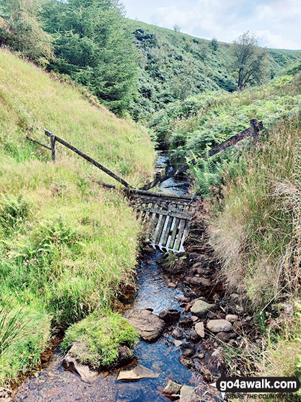
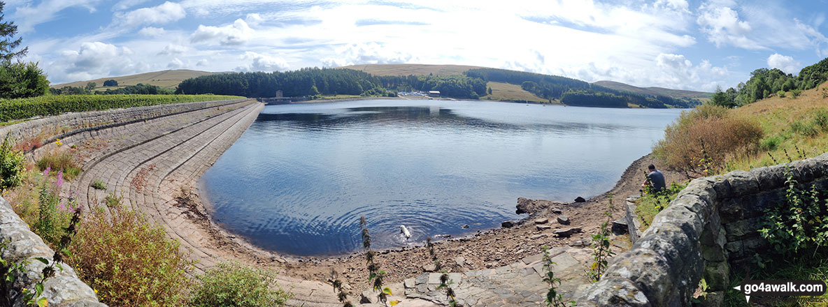
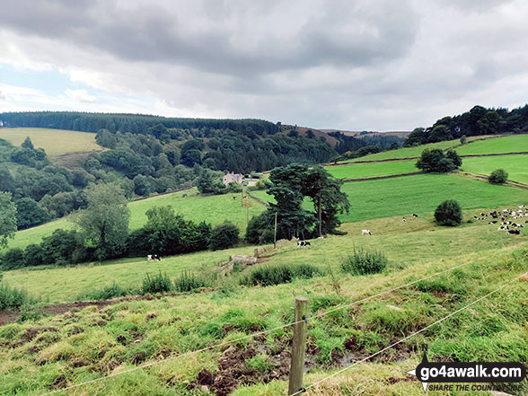
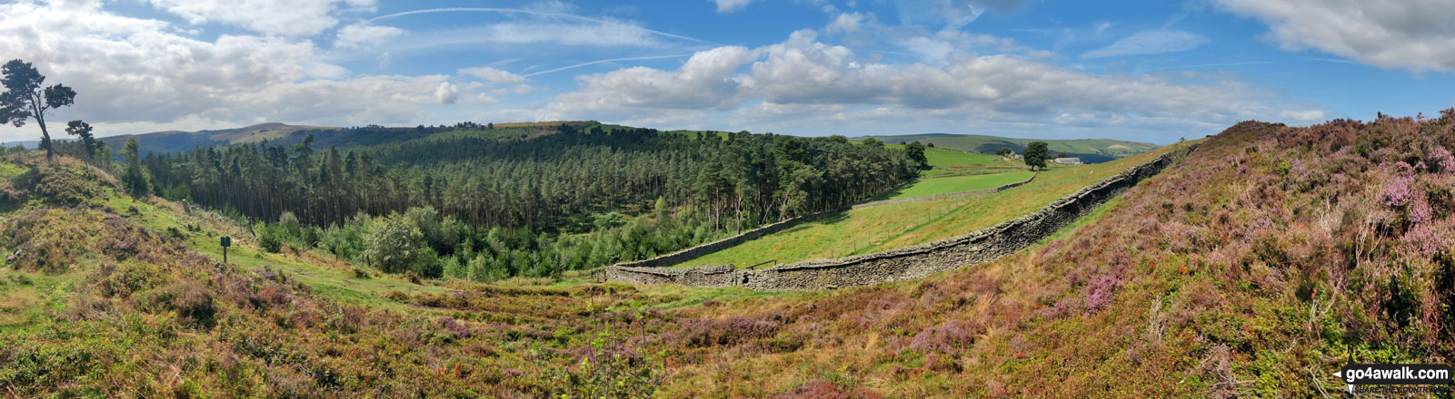
Some Photos and Pictures from Walk d257 Windgather Rocks and Errwood Hall via Foxlow Edge from Errwood Reservoir
In no particular order . . .
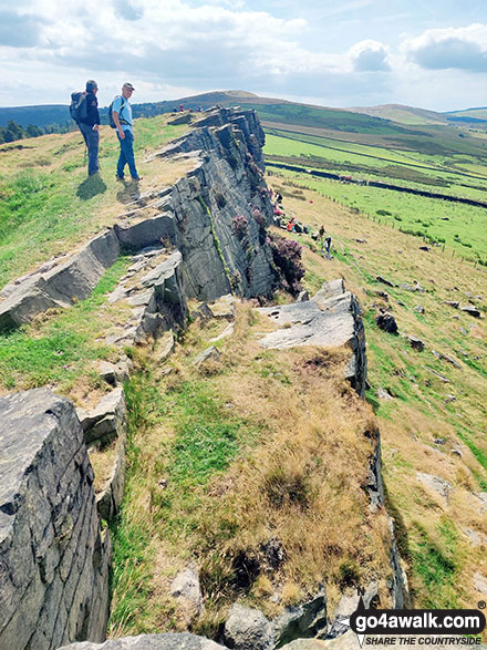
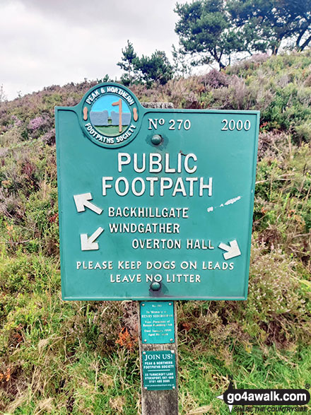
Peak & Northern Footpaths Society Public Footpath Sign No. 270 on Taxal Edge
Send us your photographs and pictures from your walks and hikes
We would love to see your photographs and pictures from walk d257 Windgather Rocks and Errwood Hall via Foxlow Edge from Errwood Reservoir. Send them in to us as email attachments (configured for any computer) along with your name and where the picture was taken to:
and we shall do our best to publish them.
(Guide Resolution = 300dpi. At least = 660 pixels (wide) x 440 pixels (high).)

You can also submit photos from walk d257 Windgather Rocks and Errwood Hall via Foxlow Edge from Errwood Reservoir via our Facebook Page.
NB. Please indicate where each photo was taken.


