   |
Vital Statistics:
| Length: | 5½mls (9km) |
| Ascent: | 853ft (260m) |
| Time: | 3hrs |
| Grade: |  |

Route outline for walk bu118:
Butler's Cross - Monument Hill (Coombe Hill) - The Ridgeway - Linton's Wood - Goodmerhill Wood - Chisley Wood - The Icknield Way - Chequers - Pond Wood - Pulpit Wood - The North Bucks Way - The Midshires Way - Chequers Knap - Whorley Wood - Ellesborough Warren - Boxtree Wood - Beacon Hill (Ellesborough) - Ellesborough - The Aylesbury Ring - Springs Farm - Butler's Cross
Points of Interest/Notes on this walk:
This walk circles the 16th Century 'Chequers' which was given to the country by Lord Lee in 1917. It has been used as the Prime Minister's country residence ever since.
Peaks, Summits and Tops reached on this walk:
 0 English Mountains |
 0 Wainwrights |
 0 English Nuttalls |
 0 English Deweys |
 0 Wainwright Outlying Fells |
 0 Marilyns |
 1 Bridget |
Peak Bagging Statistics for this walk:
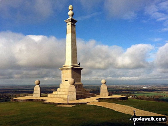
The highest point of this walk is Monument Hill (Coombe Hill) at 260m (853ft). Monument Hill (Coombe Hill) is known as an English Bridget. The summit of Monument Hill (Coombe Hill) is marked by an Ordnance Survey Trig Point.
National Trails & Long Paths included on this walk:
Part of this walk follows a section of The Icknield Way, a 166km (103 miles) linear footpath connecting Ivinghoe Beacon in Buckinghamshire, England with Knettishall Heath in Suffolk, England. The Icknield Way is waymarked by a Flint Axe Emblem. For more walks that include a section of this trail see The Icknield Way.
Part of this walk also follows a section of The Midshires Way, a 362km (225 miles) linear footpath connecting Hampton Wainhill near Bledlow in Buckinghamshire, England with Stockport in Greater Manchester, England. The Midshires Way is waymarked by named posts. For more walks that include a section of this trail see The Midshires Way.
Part of this walk also follows a section of The North Bucks Way, a 56km (35 miles) linear footpath connecting Chequer's Knap, Great Kimble in Buckinghamshire, England with Wolverton in Buckinghamshire, England. The North Bucks Way is waymarked by orange arrows. For more walks that include a section of this trail see The North Bucks Way.
Part of this walk also follows a section of The Ridgeway, a 137km (85 miles) linear footpath connecting Overton in Wiltshire, England with Ivinghoe Beacon in Buckinghamshire, England. The Ridgeway is waymarked by a National Trail Acorn. For more walks that include a section of this trail see The Ridgeway.
You can find this walk and other nearby walks on these unique free-to-access Interactive Walk Planning Maps:
1:25,000 scale OS Explorer Map (orange/yellow covers):
1:50,000 scale OS Landranger Map (pink/magenta covers):
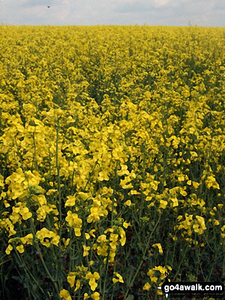
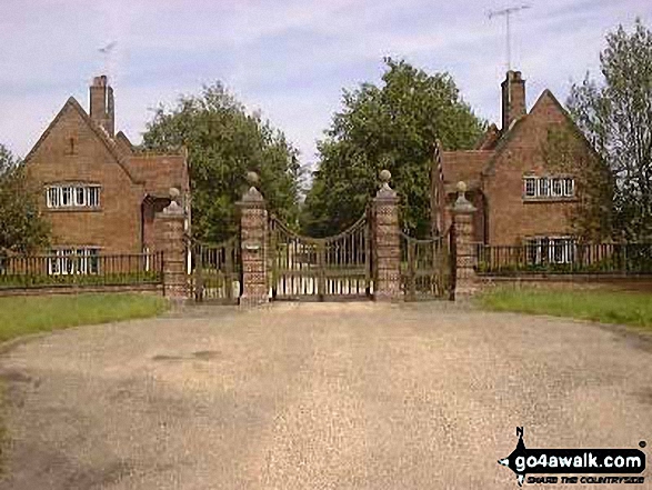
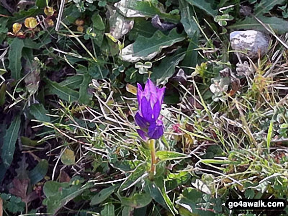
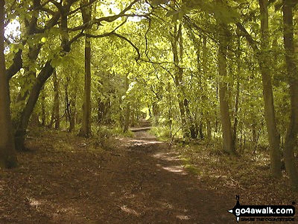
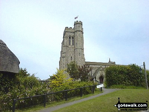
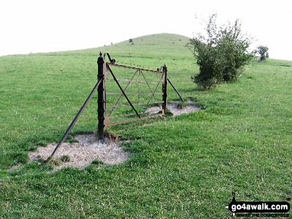
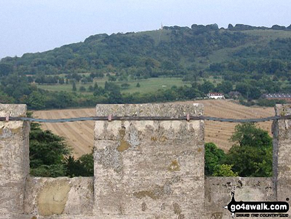
Some Photos and Pictures from Walk bu118 Monument Hill (Coombe Hill) from Butler's Cross
In no particular order . . .


Send us your photographs and pictures from your walks and hikes
We would love to see your photographs and pictures from walk bu118 Monument Hill (Coombe Hill) from Butler's Cross. Send them in to us as email attachments (configured for any computer) along with your name and where the picture was taken to:
and we shall do our best to publish them.
(Guide Resolution = 300dpi. At least = 660 pixels (wide) x 440 pixels (high).)

You can also submit photos from walk bu118 Monument Hill (Coombe Hill) from Butler's Cross via our Facebook Page.
NB. Please indicate where each photo was taken.


