   |
Vital Statistics:
| Length: | 8¾mls (14km) |
| Ascent: | 1,694ft (516m) |
| Time: | 5hrs |
| Grade: |  |
Route outline for walk d221:
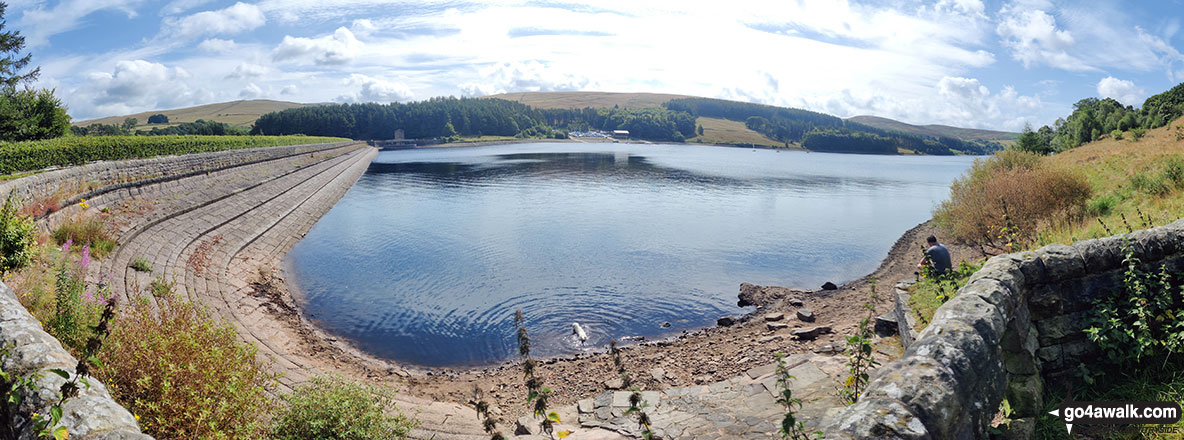
Errwood Reservoir - The Goyt Valley - Shooter's Clough - Shining Tor - The Tors - Cats Tor - Oldgate Nick - Pym Chair - Goyt Forest - Windgather Rocks - Taxal Edge - Overton Hall Farm - The Midshires Way - Madscar Farm - Mill Clough - Knife Farm - The Goyt Valley - Fernilee Reservoir - Hoo Moor - Deep Clough - Jep Clough - The Street - The Goyt Valley - Errwood Reservoir
Points of Interest/Notes on this walk:
The odd shaped lumps of rock strewn across so many of the South West's tors are collectively known as 'clitter'.
Peaks, Summits and Tops reached on this walk:
 0 English Mountains |
 0 Wainwrights |
 0 English Nuttalls |
 2 English Deweys |
 0 Wainwright Outlying Fells |
 1 Marilyn |
 0 Bridgets |
Peak Bagging Statistics for this walk:
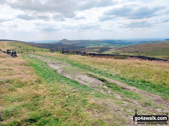
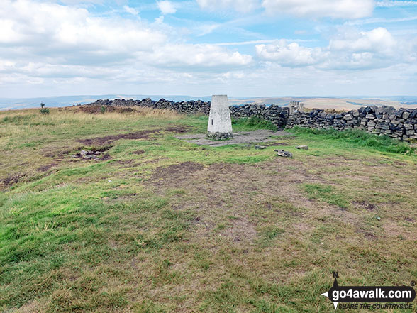
The highest point of this walk is Shining Tor at 559m (1835ft). Shining Tor is also known as an English Dewey (54th highest in England, 124th in England & Wales) and an English Marilyn (59th highest in England, 851st highest in the UK). The summit of Shining Tor is marked by an Ordnance Survey Trig Point. Shining Tor is the highest point in the county of Cheshire.
Completing this walk will also take you to the top of Cats Tor at 522m (1713ft). Cats Tor is also known as an English Dewey (134th highest in England, 305th in England & Wales)
National Trails & Long Paths included on this walk:
Part of this walk follows a section of The Midshires Way, a 362km (225 miles) linear footpath connecting Hampton Wainhill near Bledlow in Buckinghamshire, England with Stockport in Greater Manchester, England. The Midshires Way is waymarked by named posts. For more walks that include a section of this trail see The Midshires Way.
You can find this walk and other nearby walks on these unique free-to-access Interactive Walk Planning Maps:
1:25,000 scale OS Explorer Map (orange/yellow covers):
1:50,000 scale OS Landranger Map (pink/magenta covers):
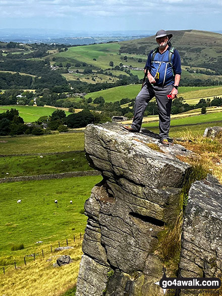
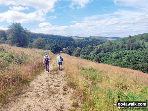
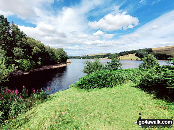
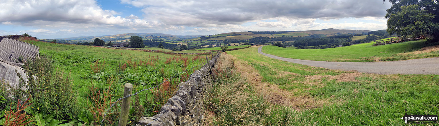
Some Photos and Pictures from Walk d221 Shining Tor and Windgather Rocks from Errwood Reservoir
In no particular order . . .
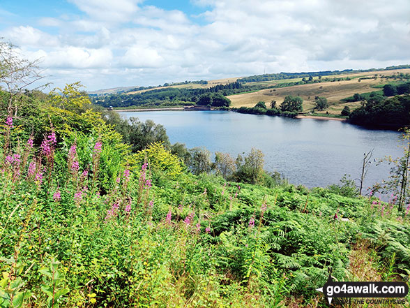
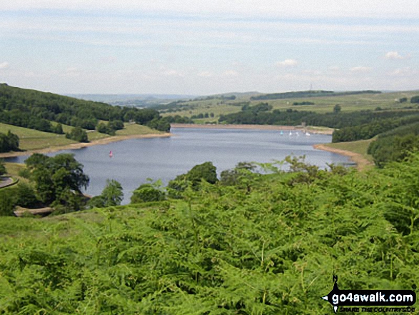
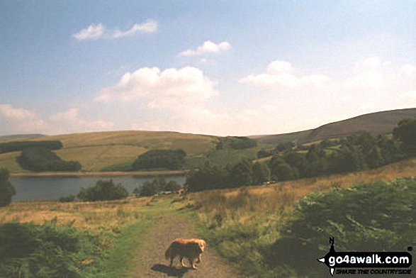
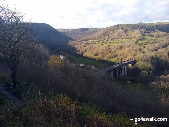
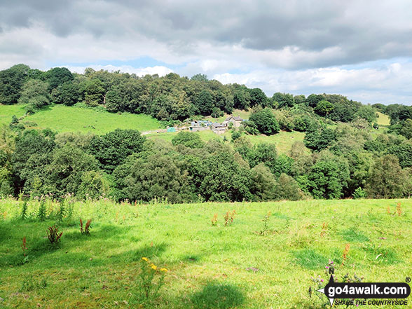
Errwood Reservoir visible through a gap in the trees on the lower slopes of Shining Tor

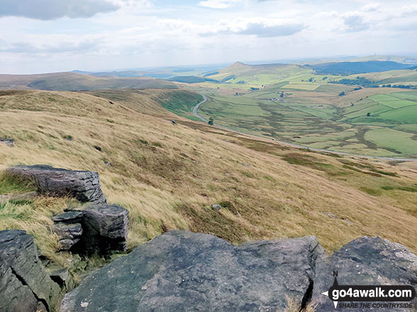
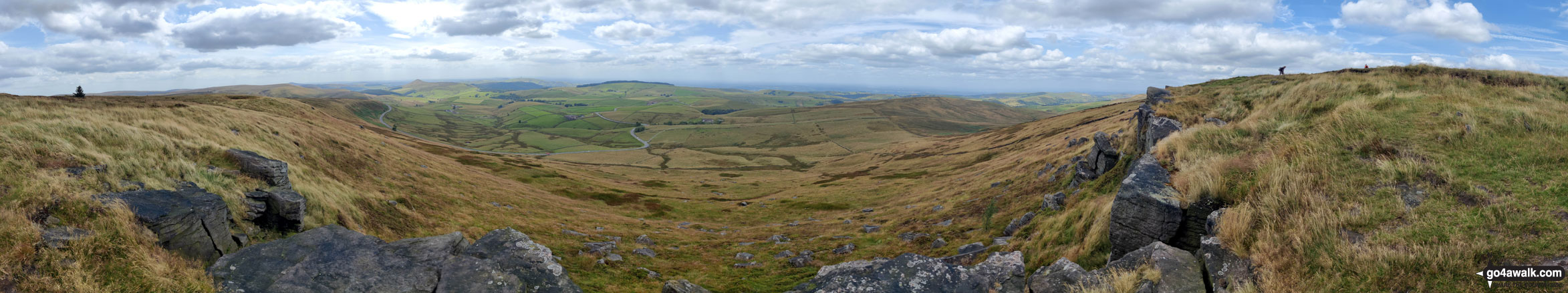
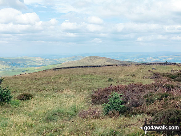
Looking South towards Shutlingsloe and Croker Hill from the summit of Shining Tor
. . . load all 53 walk photos from Walk d221 Shining Tor and Windgather Rocks from Errwood Reservoir
Send us your photographs and pictures from your walks and hikes
We would love to see your photographs and pictures from walk d221 Shining Tor and Windgather Rocks from Errwood Reservoir. Send them in to us as email attachments (configured for any computer) along with your name and where the picture was taken to:
and we shall do our best to publish them.
(Guide Resolution = 300dpi. At least = 660 pixels (wide) x 440 pixels (high).)

You can also submit photos from walk d221 Shining Tor and Windgather Rocks from Errwood Reservoir via our Facebook Page.
NB. Please indicate where each photo was taken.


