21 easy to follow walk route maps of all grades that include part of The Pembrokeshire Coast Path

The Pembrokeshire Coast Path is a 299km (186 miles) linear footpath connecting Amroth in Pembrokeshire, with St Dogmaels in Pembrokeshire, Wales.

The Pembrokeshire Coast Path is waymarked by a National Trail Acorn.


See this list of walks, routes & maps in:

Grade Order | Length Order | Time Order | Walk Number or Start Location Order
NB. To reverse (toggle) this order, click Start Order again


Walk 1 Walking Bootprint Icon

Walk pe120 Carn Llidi, Carnedd-lleithr and St David's Head from Whitesands Bay (Porth Mawr)

Fine views and coastal walking

Download GPS Waypoint Data for walk pe120
Download GPX Waypoint Data for walk pe120
Download Map and Route Details for walk pe120

Vital Statistics:

Length:6.25 miles (10 km)
Ascent:1,660ft (506m)
Time:4 hrs
Grade:Grade 5 Walking Moderate
Walk 2 Walking Bootprint Icon

Walk pe112 Carn Llidi and St David's Head from Whitesands Bay (Porth Mawr)

Some of the finest coastal scenery

Download GPS Waypoint Data for walk pe112
Download GPX Waypoint Data for walk pe112
Download Map and Route Details for walk pe112

Vital Statistics:

Length:3.75 miles (6 km)
Ascent:1,043ft (318m)
Time:2½ hrs
Grade:Grade 3 Walking Easy
Walk 3 Walking Bootprint Icon

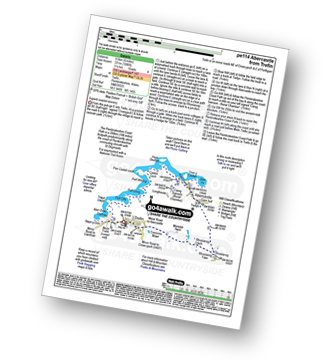
Walk pe114 Abercastle and Melin Trefin from Trefin

Superb coastal scenery

Download GPS Waypoint Data for walk pe114
Download GPX Waypoint Data for walk pe114
Download Map and Route Details for walk pe114

Vital Statistics:

Length:6 miles (9.5 km)
Ascent:1,086ft (331m)
Time:3.25hrs
Grade:Grade 4 Walking Moderate
Walk 4 Walking Bootprint Icon

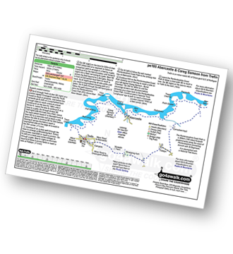
Walk pe100 Abercastle and Careg Samson from Trefin

Some of the finest coastal scenery

Download GPS Waypoint Data for walk pe100
Download GPX Waypoint Data for walk pe100
Download Map and Route Details for walk pe100

Vital Statistics:

Length:10.75 miles (17 km)
Ascent:1,748ft (533m)
Time:5.75hrs
Grade:Grade 6 Walking Moderate
Walk 5 Walking Bootprint Icon

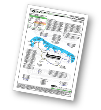
Walk pe106 Carregwastad Point from Strumble Head

Wonderful coastal walk with great views

Download GPS Waypoint Data for walk pe106
Download GPX Waypoint Data for walk pe106
Download Map and Route Details for walk pe106

Vital Statistics:

Length:6 miles (9.5 km)
Ascent:1,187ft (362m)
Time:3½ hrs
Grade:Grade 4 Walking Moderate
Walk 6 Walking Bootprint Icon

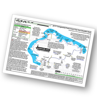
Walk pe117 Carregwastad Point and Garn Fawr from Strumble Head

Superb coastal walking

Download GPS Waypoint Data for walk pe117
Download GPX Waypoint Data for walk pe117
Download Map and Route Details for walk pe117

Vital Statistics:

Length:8.5 miles (13.5 km)
Ascent:2,060ft (628m)
Time:5.25hrs
Grade:Grade 6 Walking Moderate
Walk 7 Walking Bootprint Icon

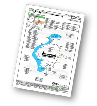
Walk pe126 Garn Fawr from Strumble Head

Fine coast walk with excellent views

Download GPS Waypoint Data for walk pe126
Download GPX Waypoint Data for walk pe126
Download Map and Route Details for walk pe126

Vital Statistics:

Length:5 miles (8 km)
Ascent:1,168ft (356m)
Time:3 hrs
Grade:Grade 4 Walking Moderate
Walk 8 Walking Bootprint Icon

Walk pe109 St Non's Bay from St David's

Fine coastal scenery

Download GPS Waypoint Data for walk pe109
Download GPX Waypoint Data for walk pe109
Download Map and Route Details for walk pe109

Vital Statistics:

Length:4.5 miles (7 km)
Ascent:686ft (209m)
Time:2½ hrs
Grade:Grade 3 Walking Easy
Walk 9 Walking Bootprint Icon

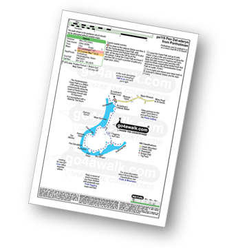
Walk pe119 Pen Dal-aderyn from Porthstinian

Superb coastal scenery

Download GPS Waypoint Data for walk pe119
Download GPX Waypoint Data for walk pe119
Download Map and Route Details for walk pe119

Vital Statistics:

Length:3.75 miles (6 km)
Ascent:699ft (204m)
Time:2 hrs
Grade:Grade 3 Walking Easy
Walk 10 Walking Bootprint Icon

Walk pe135 Porth Clais from Porthstinian

Fine coast walk with excellent views

Download GPS Waypoint Data for walk pe135
Download GPX Waypoint Data for walk pe135
Download Map and Route Details for walk pe135

Vital Statistics:

Length:6.25 miles (10 km)
Ascent:1,138ft (347m)
Time:3½ hrs
Grade:Grade 4 Walking Moderate
Walk 11 Walking Bootprint Icon

Walk pe132 Abereiddy from Porthgain

Superb Coastal Walking

Download GPS Waypoint Data for walk pe132
Download GPX Waypoint Data for walk pe132
Download Map and Route Details for walk pe132

Vital Statistics:

Length:6.25 miles (10 km)
Ascent:1,174ft (358m)
Time:3½ hrs
Grade:Grade 4 Walking Moderate
Walk 12 Walking Bootprint Icon

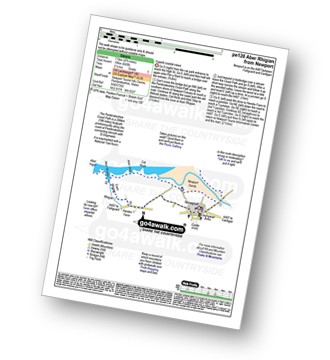
Walk pe128 Aber Rhigian from Newport

Superb coastal views

Download GPS Waypoint Data for walk pe128
Download GPX Waypoint Data for walk pe128
Download Map and Route Details for walk pe128

Vital Statistics:

Length:4.75 miles (7.5 km)
Ascent:643ft (196m)
Time:2½ hrs
Grade:Grade 3 Walking Easy
Walk 13 Walking Bootprint Icon

Walk pe131 Aber Rhigian and Mynydd Carningli from Newport

Wonderful coastal walk with great views

Download GPS Waypoint Data for walk pe131
Download GPX Waypoint Data for walk pe131
Download Map and Route Details for walk pe131

Vital Statistics:

Length:7 miles (11 km)
Ascent:1,437ft (438m)
Time:4 hrs
Grade:Grade 5 Walking Moderate
Walk 14 Walking Bootprint Icon

Walk pe103 Aber Rhigian and Castle Hill from Newport

Fine coast walk with excellent views

Download GPS Waypoint Data for walk pe103
Download GPX Waypoint Data for walk pe103
Download Map and Route Details for walk pe103

Vital Statistics:

Length:5.25 miles (8.5 km)
Ascent:807ft (246m)
Time:2.75hrs
Grade:Grade 3 Walking Easy
Walk 15 Walking Bootprint Icon

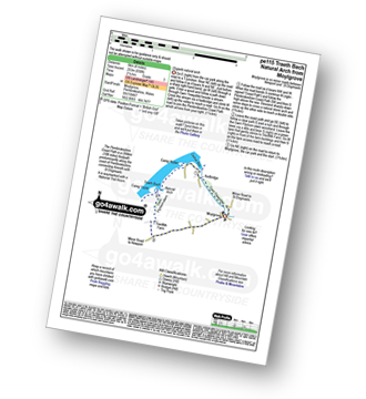
Walk pe115 Traeth Bach Natural Arch from Moylgrove

Superb natural arch

Download GPS Waypoint Data for walk pe115
Download GPX Waypoint Data for walk pe115
Download Map and Route Details for walk pe115

Vital Statistics:

Length:4 miles (6 km)
Ascent:830ft (253m)
Time:2.25hrs
Grade:Grade 3 Walking Easy
Walk 16 Walking Bootprint Icon

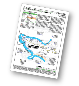
Walk pe127 Martin's Cove from Marloes

Superb coastal walk with fine views

Download GPS Waypoint Data for walk pe127
Download GPX Waypoint Data for walk pe127
Download Map and Route Details for walk pe127

Vital Statistics:

Length:7.25 miles (11.5 km)
Ascent:1,352ft (412m)
Time:5 hrs
Grade:Grade 5 Walking Moderate
Walk 17 Walking Bootprint Icon

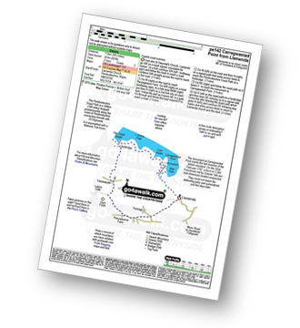
Walk pe142 Carregwastad Point from Llanwnda

Superb coast scenery

Download GPS Waypoint Data for walk pe142
Download GPX Waypoint Data for walk pe142
Download Map and Route Details for walk pe142

Vital Statistics:

Length:4.75 miles (7.5 km)
Ascent:863ft (263m)
Time:2½ hrs
Grade:Grade 3 Walking Easy
Walk 18 Walking Bootprint Icon

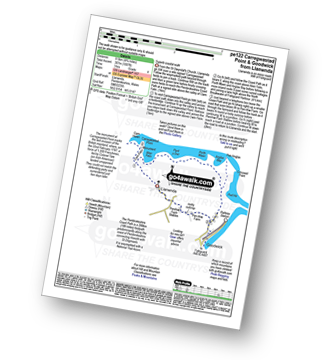
Walk pe122 Carregwastad Point and Goodwick from Llanwnda

Superb coastal walk

Download GPS Waypoint Data for walk pe122
Download GPX Waypoint Data for walk pe122
Download Map and Route Details for walk pe122

Vital Statistics:

Length:4.75 miles (8.5 km)
Ascent:1,007ft (307m)
Time:3 hrs
Grade:Grade 4 Walking Moderate
Walk 19 Walking Bootprint Icon

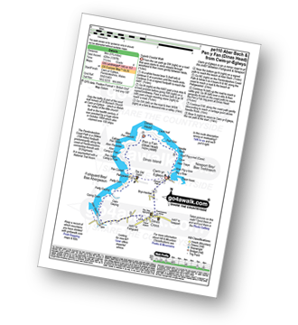
Walk pe110 Aber Bach and Pen y Fan (Dinas Head) from Cwm-yr-Eglwys

Superb Coastal Walk

Download GPS Waypoint Data for walk pe110
Download GPX Waypoint Data for walk pe110
Download Map and Route Details for walk pe110

Vital Statistics:

Length:5.75 miles (9 km)
Ascent:1,397ft (426m)
Time:3½ hrs
Grade:Grade 4 Walking Moderate
Walk 20 Walking Bootprint Icon

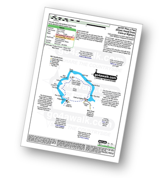
Walk pe121 Pen y Fan (Dinas Head) from Cwm-yr-Eglwys

Lovely coastal walk

Download GPS Waypoint Data for walk pe121
Download GPX Waypoint Data for walk pe121
Download Map and Route Details for walk pe121

Vital Statistics:

Length:3 miles (5 km)
Ascent:735ft (224m)
Time:2 hrs
Grade:Grade 2 Walking Easy
Walk 21 Walking Bootprint Icon

Walk pe105 Carn Pembury from Abereiddy

Superb Coastal Views

Download GPS Waypoint Data for walk pe105
Download GPX Waypoint Data for walk pe105
Download Map and Route Details for walk pe105

Vital Statistics:

Length:7.5 miles (11.5 km)
Ascent:1,427ft (435m)
Time:4 hrs
Grade:Grade 5 Walking Moderate

See this list of walks, routes & maps in:

Grade Order | Length Order | Time Order | Walk Number or Start Location Order
NB. To reverse (toggle) this order, click Start Order again


Follow go4awalk.com on Twitter Follow go4awalk.com on Facebook


Home


Find new Friends to go walking with

Walk all 214 Wainwrights in just 59 Walks. Download GPS Waypoints - Great Walks you must not miss!

Walk The Yorkshire Three Peaks Challenge Walk - All the Latest Route Information, GPS Waypoints and Split Times to keep you on Schedule

Walk The British Three Peaks Challenge Walk - All the Latest Route Information and GPS Waypoints

See our pick of The Best Walks in The Lake District - Great Walks you must not miss!

Walk our pick of the Best Lake District Ridge Walks - Great Walks you must not miss!

Walk our pick of the Best Lake District Walks to do in the rain - Great Walks you must not miss!

Walk our pick of The Best Walks in Snowdonia - Great Walks you must not miss!

Walk our pick of The Best Ridge Walks in Wales - Walks you must not miss!

Walk our pick of The Best Walks in The Brecon Beacons - Great Walks you must not miss!

Walk our pick of The Best Walks in The Yorkshire Dales - Walks you must not miss!

Walk our pick of The Best Walks in The Peak District - Walks you must not miss!

Walk our pick of The Best Walks in The Forest of Bowland - Walks you must not miss!

Walk our pick of The Best Walks in Shropshire - Walks you must not miss!

Walk our pick of The Best Walks in Cheshire - Walks you must not miss!

Walk our pick of The Best Walks in Lancashire - Walks you must not miss!

Not sure where to walk next? Try Peak Bagging - Great Walks you must not miss!

Not sure where to walk next? Walk part of a National Trail - Great Walks you must not miss!

Walks with Downloadable and Uploadable GPS Waypoint Data

Walking Kit and Gear Tested by Walkers

Full Site Search