|
Vital Statistics:
| Length: | 8½mls (13.5km) |
| Ascent: | 2,060ft (628m) |
| Time: | 5¼hrs |
| Grade: |  |
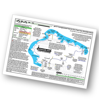
Route outline for walk pe117:
Strumble Head - The Pembrokeshire Coast Path - Porthsychan - Carregwastad Point - Aber Felin - Cwm Felin - Garn Folch - Garn Fawr (Strumble Head) - Pwll Deri - Porth Maenmelyn - Pen Brush - Carn Melyn - Carreg Onnen Bay - Strumble Head


Points of Interest/Notes on this walk:
The monument at Carregwastad Point marks the last invasion of the British mainland. On the 22nd February 1797, a force of 1,200 Frenchmen led by Colonel Tate (an Irish-American) landed unopposed. They could not match the defending party and surrendered just two days later.
Strumble Head Lighthouse was built in 1908 by Trinity House for the greater safety of sea traffic between Ireland and the (then) new Fishguard Harbour three miles to the east. The new light also formed a link with the existing South Bishop light, 18 miles to the south-west. This stretch of coast is very dangerous, and some 60 vessels are known to have been lost along it in the 19th Century alone. The lighthouse was converted to unmanned automatic operation in 1980 and is now monitored from the Operations Control Centre at Harwich.
Peaks, Summits and Tops reached on this walk:
 0 Welsh Mountains |
 0 Wainwrights |
 0 Welsh Nuttalls |
 0 Welsh Deweys |
 0 Wainwright Outlying Fells |
 0 Welsh Marilyns |
 1 Bridget |
Peak Bagging Statistics for this walk:
The highest point of this walk is Garn Fawr (Strumble Head) at 213m (699ft). Garn Fawr (Strumble Head) is known as a Welsh Bridget. The summit of Garn Fawr (Strumble Head) is marked by an Ordnance Survey Trig Point.
National Trails & Long Paths included on this walk:
Part of this walk follows a section of The Pembrokeshire Coast Path, a 299km (186 miles) linear footpath connecting Amroth in Pembrokeshire, with St Dogmaels in Pembrokeshire, Wales. The Pembrokeshire Coast Path is waymarked by a National Trail Acorn. For more walks that include a section of this trail see The Pembrokeshire Coast Path.
You can find this walk and other nearby walks on these unique free-to-access Interactive Walk Planning Maps:
1:25,000 scale OS Explorer Map (orange/yellow covers):
1:50,000 scale OS Landranger Map (pink/magenta covers):
Some Photos and Pictures from Walk pe117 Carregwastad Point and Garn Fawr from Strumble Head
In no particular order . . .


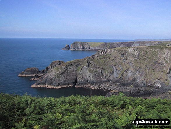
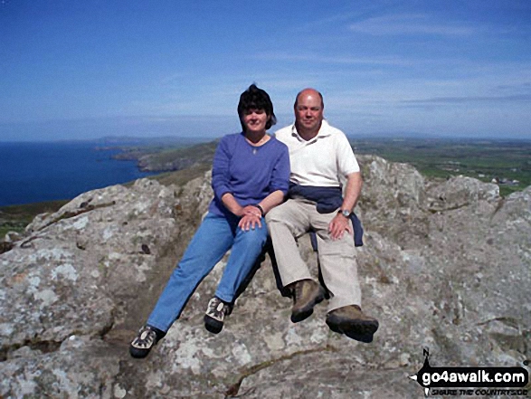
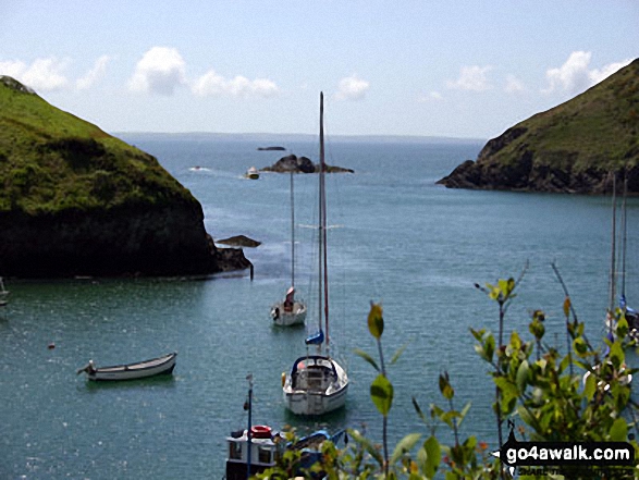
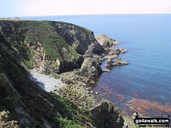
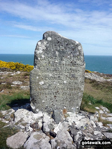
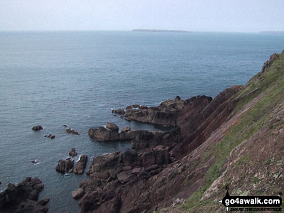
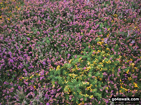

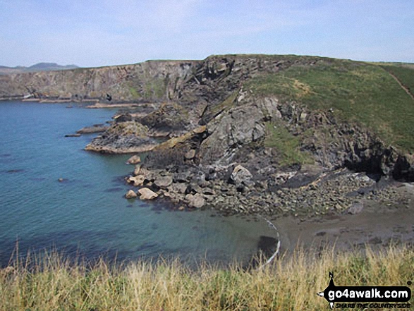
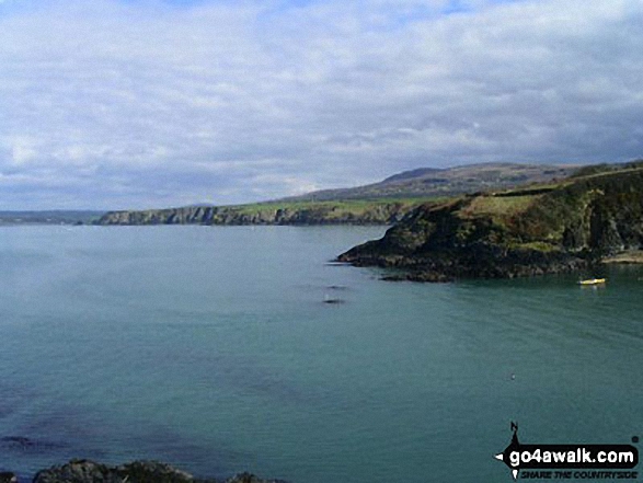
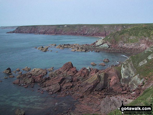
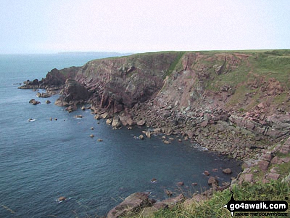

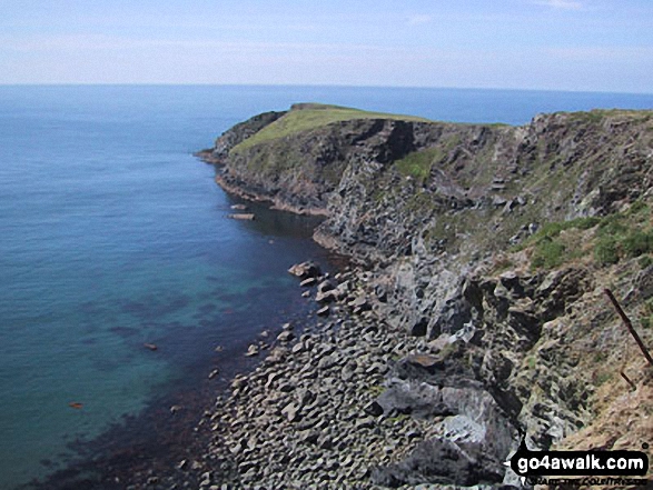

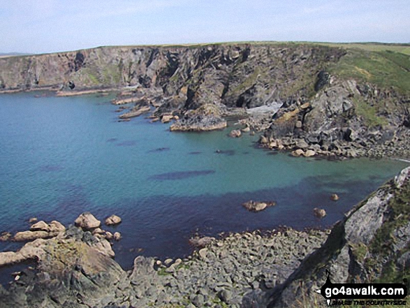
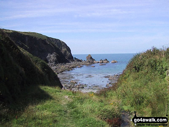

. . . load all 67 walk photos from Walk pe117 Carregwastad Point and Garn Fawr from Strumble Head
Send us your photographs and pictures from your walks and hikes
We would love to see your photographs and pictures from walk pe117 Carregwastad Point and Garn Fawr from Strumble Head. Send them in to us as email attachments (configured for any computer) along with your name and where the picture was taken to:
and we shall do our best to publish them.
(Guide Resolution = 300dpi. At least = 660 pixels (wide) x 440 pixels (high).)

You can also submit photos from walk pe117 Carregwastad Point and Garn Fawr from Strumble Head via our Facebook Page.
NB. Please indicate where each photo was taken.