Walk pe127 Martin's Cove from Marloes

This 7¼ mile, Grade 5 (Moderate), easy-to-follow, hand-crafted walk, complete with GPS Waypoints, starts at Marloes & will take about 5 hrs to complete.

Download Walk PDF Icon
Download GPX Track Icon
Download GPS Waypoints Icon

Vital Statistics:

Length:7¼mls (11.5km)
Ascent:1,352ft (412m)
Time:5hrs
Grade:Walk Grade 5_23_with_text.png Icon

Route outline for walk pe127:

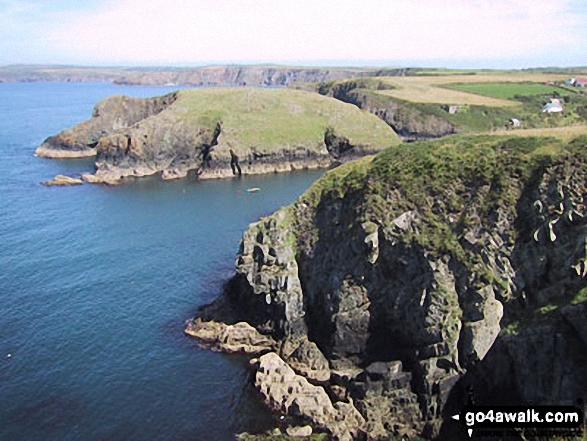
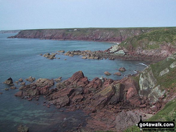
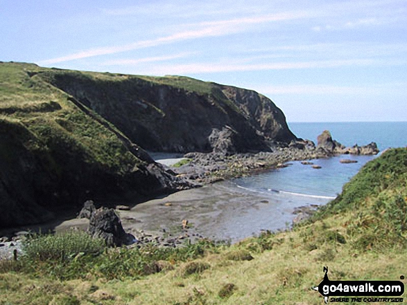
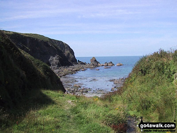
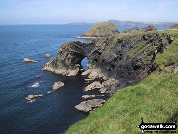
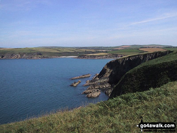
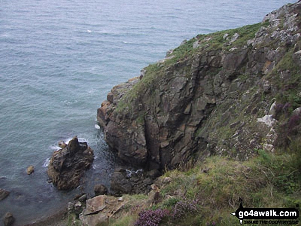
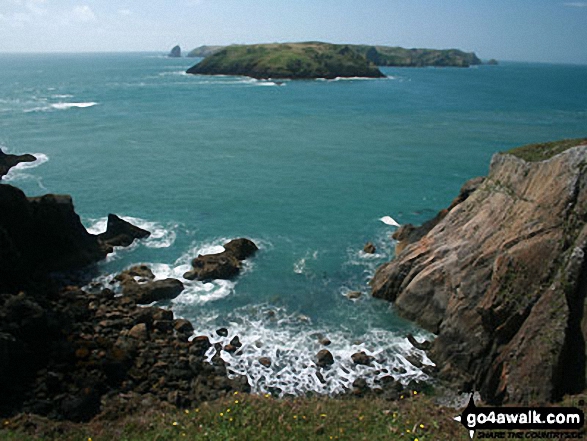
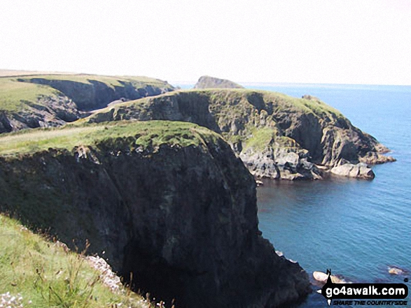
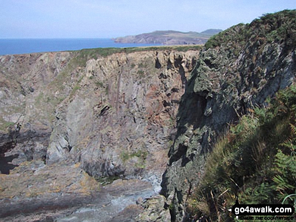
Marloes  -  Marloes Beacon  -  Black Cliff  -  Musselwick Sands  -  The Pembrokeshire Coast Path  -  Howney Stone  -  High Point  -  Martin's Haven  -  Haven Point  -  Wooltack Point  -  Mouse's Haven  -  The Anvil  -  The Deer Park  -  Renney Slip  -  Deadman's Bay  -  Pitting Gales Point  -  Rainy Lock  -  Little Coastle Bay  -  Victoria Bay  -  Watery Bay  -  Albion Sands  -  Gateholm Island  -  Raggle Rocks  -  Marloes Sands  -  Green Mire Cottage  -  Marloes

Peaks, Summits and Tops reached on this walk:

Hewitt Icon
0
Welsh
Mountains
Wainwright Icon
0
Wainwrights
Welsh Nuttall Icon
0
Welsh
Nuttalls
Dewey Icon
0
Welsh
Deweys
Wainwright Outlying Fell Icon
0
Wainwright
Outlying Fells
Marilyn Icon
0
Welsh
Marilyns
Bridget Icon
0
Bridgets

National Trails & Long Paths included on this walk:

Part of this walk follows a section of The Pembrokeshire Coast Path, a 299km (186 miles) linear footpath connecting Amroth in Pembrokeshire, with St Dogmaels in Pembrokeshire, Wales. The Pembrokeshire Coast Path is waymarked by a National Trail Acorn. For more walks that include a section of this trail see The Pembrokeshire Coast Path.


You can find this walk and other nearby walks on these unique Interactive Walk Planning Maps:

(worth a look if you're new to go4awalk.com & have never seen one of these before.)


1:25,000 scale OS Explorer Map (orange/yellow covers):

An Interactive Walk Planning Map for OS Explorer OL36 South Pembrokeshire/De Sir Benfro is not currently available


1:50,000 scale OS Landranger Map (pink/magenta covers):

OS Landranger 157 St David’s & Haverfordwest


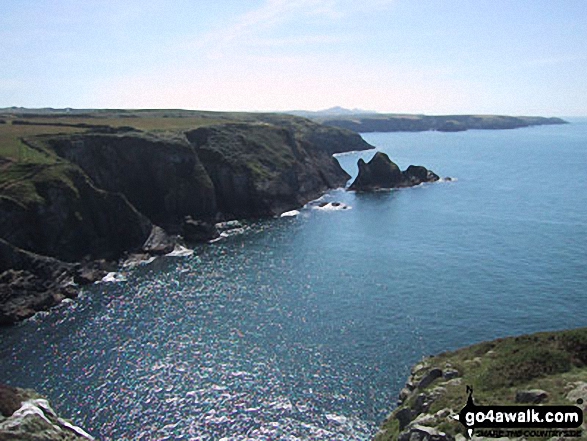
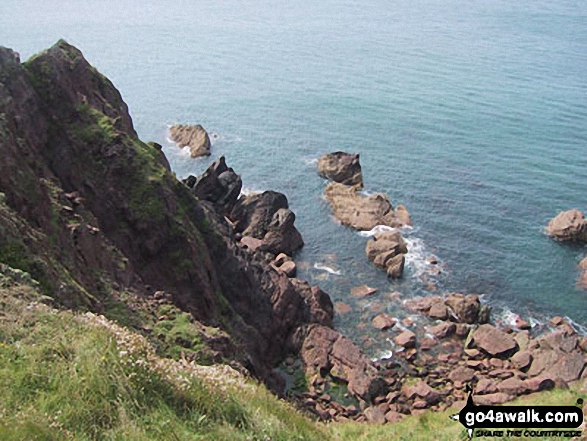
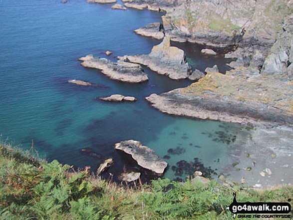
Some Photos and Pictures from Walk pe127 Martin's Cove from Marloes

In no particular order . . .

St Ann's Head, Pembrokeshire Coast

St Ann's Head, Pembrokeshire Coast

Photo: Dale Stewart (8)

The Pembrokeshire Coast Path

The Pembrokeshire Coast Path

Photo: Francis Healy (3)

Castlebeach Bay, St Ann's Head, Pembrokeshire Coast

Castlebeach Bay, St Ann's Head, Pembrokeshire Coast

Photo: Dale Stewart (4)

The Pembrokeshire Coast Path

The Pembrokeshire Coast Path

Photo: Jamie Tetlow (3)

Solva Harbour

Solva Harbour

Photo: Peter Handley (3)

St Ann's Head, Pembrokeshire Coast

St Ann's Head, Pembrokeshire Coast

Photo: Dale Stewart (9)

Skomer Island from The Deer Park, The Pembrokeshire Coast Path

Skomer Island from The Deer Park, The Pembrokeshire Coast Path

Photo: David Hague (22)

The Pembrokeshire Coast Path

The Pembrokeshire Coast Path

Photo: Francis Healy (1)

The Pembrokeshire Coast Path

The Pembrokeshire Coast Path

Photo: Monica Dempsey (5)

The Pembrokeshire Coast

The Pembrokeshire Coast

Photo: Karen Lamb (5)


. . . load all 68 walk photos from Walk pe127 Martin's Cove from Marloes


Send us your photographs and pictures from your walks and hikes

Send them in to us as email attachments (configured for any computer) along with your name/username and where the picture was taken to:

and we shall do our best to publish them.

(Guide Resolution = 300dpi. At least = 660 pixels (wide) x 440 pixels (high).)

Facebook Logo

You can also submit photos via our Facebook Page.

NB. Please indicate where each photo was taken so we can match it to a walk route.


To steep and difficult descent, trusting ourselves, we wound from crag to crag, where passage could be won - William Wordsworth: 1770-1850
Follow go4awalk.com on Twitter Follow go4awalk.com on Facebook


Find new Friends to go walking with

Walk all 214 Wainwrights in just 59 Walks. Download GPS Waypoints - Great Walks you must not miss!

Walk The Yorkshire Three Peaks Challenge Walk - All the Latest Route Information, GPS Waypoints and Split Times to keep you on Schedule

Walk The British Three Peaks Challenge Walk - All the Latest Route Information and GPS Waypoints

See our pick of The Best Walks in The Lake District - Great Walks you must not miss!

Walk our pick of the Best Lake District Ridge Walks - Great Walks you must not miss!

Walk our pick of the Best Lake District Walks to do in the rain - Great Walks you must not miss!

Walk our pick of The Best Walks in Snowdonia - Great Walks you must not miss!

Walk our pick of The Best Ridge Walks in Wales - Walks you must not miss!

Walk our pick of The Best Walks in The Brecon Beacons - Great Walks you must not miss!

Walk our pick of The Best Walks in The Yorkshire Dales - Walks you must not miss!

Walk our pick of The Best Walks in The Peak District - Walks you must not miss!

Walk our pick of The Best Walks in The Forest of Bowland - Walks you must not miss!

Walk our pick of The Best Walks in Shropshire - Walks you must not miss!

Walk our pick of The Best Walks in Cheshire - Walks you must not miss!

Walk our pick of The Best Walks in Lancashire - Walks you must not miss!

Not sure where to walk next? Try Peak Bagging - Great Walks you must not miss!

Not sure where to walk next? Walk part of a National Trail - Great Walks you must not miss!

Walks with Downloadable and Uploadable GPS Waypoint Data

Walking Kit and Gear Tested by Walkers

Full Site Search