Walk l134 Hail Storm Hill from Edenfield

This 7¼ mile, Grade 5 (Moderate), easy-to-follow, hand-crafted walk, complete with GPS Waypoints, starts at Edenfield & will take about 4 hrs to complete.

Download Walk PDF Icon
Download GPX Track Icon
Download GPS Waypoints Icon

Vital Statistics:

Length:7¼mls (11.5km)
Ascent:1,355ft (413m)
Time:4hrs
Grade:Walk Grade 5_23_with_text.png Icon

Route outline for walk l134:

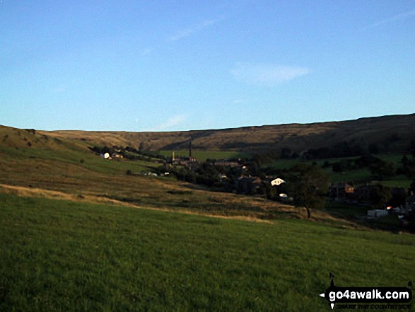
Edenfield  -  Gin Croft Lane  -  Dearden Moor  -  Sand Beds Farm  -  Cowpe Lowe  -  The Rossendale Way  -  Foe Edge  -  Cowpe Moss  -  Cragg Quarry  -  Hail Storm Hill  -  Tottington Higher End Moor  -  Whittle Hill  -  New Gate Brook  -  Fecit Delf Endm Scout Moss  -  Turn  -  Dearden Clough  -  Edenfield

Peaks, Summits and Tops reached on this walk:

Hewitt Icon
0
English
Mountains
Wainwright Icon
0
Wainwrights
English Nuttall Icon
0
English
Nuttalls
Dewey Icon
0
English
Deweys
Wainwright Outlying Fell Icon
0
Wainwright
Outlying Fells
Marilyn Icon
1
Marilyn
Bridget Icon
0
Bridgets

Peak Bagging Statistics for this walk:

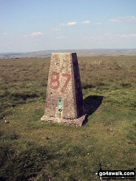
The highest point of this walk is Hail Storm Hill at 477m (1566ft). Hail Storm Hill is classified as an English Marilyn (82nd highest in England, 1035th highest in the UK).

National Trails & Long Paths included on this walk:

Part of this walk follows a section of The Rossendale Way, a 72km (45 miles) circular footpath starting and finishing in Sharneyford in Lancashire, England. The Rossendale Way is waymarked by the letters RW. For more walks that include a section of this trail see The Rossendale Way.


You can find this walk and other nearby walks on these unique Interactive Walk Planning Maps:

(worth a look if you're new to go4awalk.com & have never seen one of these before.)


1:25,000 scale OS Explorer Map (orange/yellow covers):

OS Explorer OL21 South Pennines


1:50,000 scale OS Landranger Maps (pink/magenta covers):

OS Landranger 103 Blackburn & Burnley, Clitheroe & Skipton


OS Landranger 109 Manchester, Bolton & Warrington


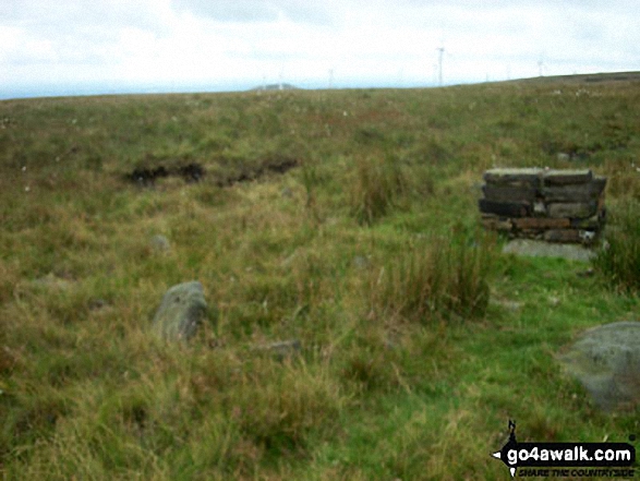
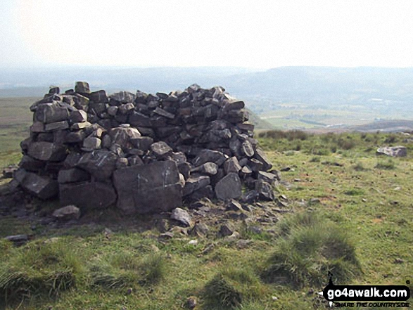
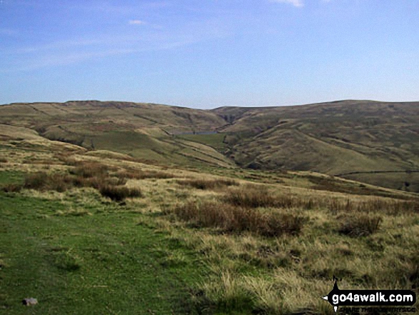
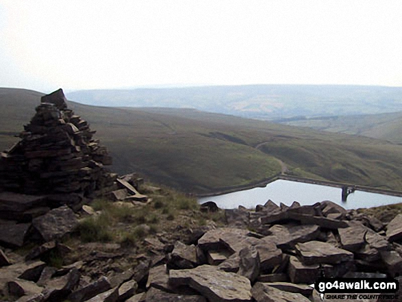
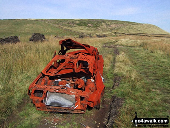
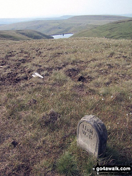
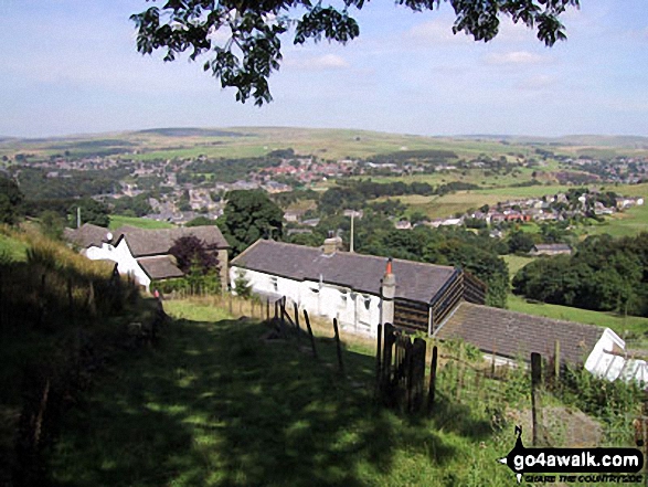
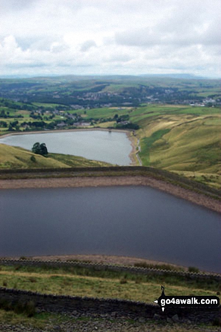
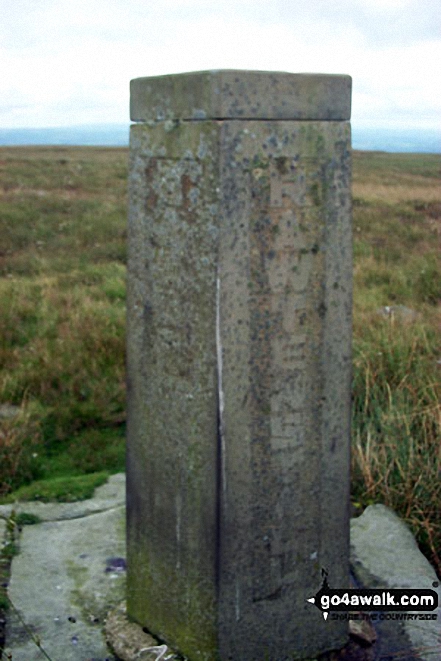
Some Photos and Pictures from Walk l134 Hail Storm Hill from Edenfield

In no particular order . . .

Rossendale Way on Cowpe Lowe

Rossendale Way on Cowpe Lowe

Photo: Steve Willington (2)

Boundary Stone on Hail Storm Hill

Boundary Stone on Hail Storm Hill

Photo: Paul Chadwick (5)

Waugh Well Reservoir from Cowpe Lowe

Waugh Well Reservoir from Cowpe Lowe

Photo: Steve Willington (4)

Boarsgreave and Cowpe Reservoir from Cowpe Moss

Boarsgreave and Cowpe Reservoir from Cowpe Moss

Photo: Steve Willington (8)

An abandoned car on Cowpe Lowe

An abandoned car on Cowpe Lowe

Photo: Steve Willington (3)

Cairn on Hail Storm Hill overlooking Cowpe Moss Reservoir

Cairn on Hail Storm Hill overlooking Cowpe Moss Reservoir

Photo: Paul Chadwick (2)

Waterfoot from nr Cowpe Lowe

Waterfoot from nr Cowpe Lowe

Photo: Steve Willington (1)

Memorial to a crashed aircraft on Whittle Hill

Memorial to a crashed aircraft on Whittle Hill

Photo: Paul Chadwick (7)

Boarsgreave from Cowpe

Boarsgreave from Cowpe

Photo: Steve Willington (9)

Pair of lone gate posts on Hail Storm Hill

Pair of lone gate posts on Hail Storm Hill

Photo: Paul Chadwick (4)


. . . load all 19 walk photos from Walk l134 Hail Storm Hill from Edenfield


Send us your photographs and pictures from your walks and hikes

We would love to see your photographs and pictures from walk l134 Hail Storm Hill from Edenfield. Send them in to us as email attachments (configured for any computer) along with your name and where the picture was taken to:

and we shall do our best to publish them.

(Guide Resolution = 300dpi. At least = 660 pixels (wide) x 440 pixels (high).)

Send us your walking and hiking photographs and pictures from walk l134 Hail Storm Hill from Edenfield via Facebook

You can also submit photos from walk l134 Hail Storm Hill from Edenfield via our Facebook Page.

NB. Please indicate where each photo was taken.


And active line on a walk moving freely, without goal. A walk for a walk's sake - Paul Klee: 1879-1940
Follow go4awalk.com on Twitter Follow go4awalk.com on Facebook


Find new Friends to go walking with

Walk all 214 Wainwrights in just 59 Walks. Download GPS Waypoints - Great Walks you must not miss!

Walk The Yorkshire Three Peaks Challenge Walk - All the Latest Route Information, GPS Waypoints and Split Times to keep you on Schedule

Walk The British Three Peaks Challenge Walk - All the Latest Route Information and GPS Waypoints

See our pick of The Best Walks in The Lake District - Great Walks you must not miss!

Walk our pick of the Best Lake District Ridge Walks - Great Walks you must not miss!

Walk our pick of the Best Lake District Walks to do in the rain - Great Walks you must not miss!

Walk our pick of The Best Walks in Snowdonia - Great Walks you must not miss!

Walk our pick of The Best Ridge Walks in Wales - Walks you must not miss!

Walk our pick of The Best Walks in The Brecon Beacons - Great Walks you must not miss!

Walk our pick of The Best Walks in The Yorkshire Dales - Walks you must not miss!

Walk our pick of The Best Walks in The Peak District - Walks you must not miss!

Walk our pick of The Best Walks in The Forest of Bowland - Walks you must not miss!

Walk our pick of The Best Walks in Shropshire - Walks you must not miss!

Walk our pick of The Best Walks in Cheshire - Walks you must not miss!

Walk our pick of The Best Walks in Lancashire - Walks you must not miss!

Not sure where to walk next? Try Peak Bagging - Great Walks you must not miss!

Not sure where to walk next? Walk part of a National Trail - Great Walks you must not miss!

Walks with Downloadable and Uploadable GPS Waypoint Data

Walking Kit and Gear Tested by Walkers

Full Site Search
Do not miss our pick of the Best Walks in Britain