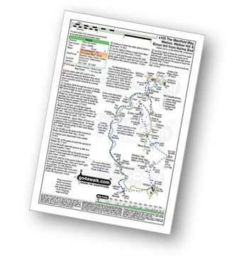
12 easy to follow walk route maps of all grades that include part of The Manifold Way

The Manifold Way is a 13km (8 miles) linear footpath connecting Hulme End in Staffordshire, England with Waterhouses in Staffordshire, England.

Originally a 2ft 6in (0.762m) gauge light railway for tourists the line was opened in 1904. Never a great success it was finally closed in 1934 and became a bridleway three years later.

The Manifold Way is waymarked by named posts.


See this list of walks, routes & maps in:

Grade Order | Length Order | Time Order | Walk Number or Start Location Order
NB. To reverse (toggle) this order, click Number Order again


Walk 1 Walking Bootprint Icon

Walk s248 Butterton and Warslow from Wettonmill

Easy walking in hill and dale

Download GPS Waypoint Data for walk s248
Download GPX Waypoint Data for walk s248
Download Map and Route Details for walk s248

Vital Statistics:

Length:7 miles (10.5 km)
Ascent:787ft (240m)
Time:3.25hrs
Grade:Grade 4 Walking Moderate
Walk 2 Walking Bootprint Icon

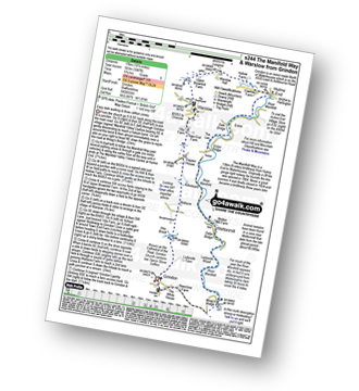
Walk s244 The Manifold Way, Thor's Cave and Warslow from Grindon

Easy dale walking

Download GPS Waypoint Data for walk s244
Download GPX Waypoint Data for walk s244
Download Map and Route Details for walk s244

Vital Statistics:

Length:10.5 miles (17 km)
Ascent:1,847ft (563m)
Time:5.75hrs
Grade:Grade 6 Walking Moderate
Walk 3 Walking Bootprint Icon

Walk s239 Castern Hall, Weag's Bridge, Manifold Way and Throwley Moor from Ilam

A classic walk with plenty of variety

Download GPS Waypoint Data for walk s239
Download GPX Waypoint Data for walk s239
Download Map and Route Details for walk s239

Vital Statistics:

Length:10.25 miles (16.5 km)
Ascent:1,486ft (453m)
Time:5.25hrs
Grade:Grade 5 Walking Moderate
Walk 4 Walking Bootprint Icon

Walk s216 Onecote, Grindon and The Manifold Way from Waterhouses

A lovely long walk through hills and dales

Download GPS Waypoint Data for walk s216
Download GPX Waypoint Data for walk s216
Download Map and Route Details for walk s216

Vital Statistics:

Length:11.5 miles (18 km)
Ascent:1,267ft (386m)
Time:5½ hrs
Grade:Grade 5 Walking Moderate
Walk 5 Walking Bootprint Icon

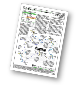
Walk s201 Grindon Moor, Grindon and Weag's Bridge from Butterton

Easy dale walking & and interesting church

Download GPS Waypoint Data for walk s201
Download GPX Waypoint Data for walk s201
Download Map and Route Details for walk s201

Vital Statistics:

Length:8.75 miles (14 km)
Ascent:1,690ft (515m)
Time:5 hrs
Grade:Grade 5 Walking Moderate
Walk 6 Walking Bootprint Icon

Walk s188 Weag's Bridge, The Manifold Way, Thor's Cave and Wettonmill from Grindon

Easy dale walking and and interesting church

Download GPS Waypoint Data for walk s188
Download GPX Waypoint Data for walk s188
Download Map and Route Details for walk s188

Vital Statistics:

Length:4.75 miles (7.5 km)
Ascent:909ft (277m)
Time:3 hrs
Grade:Grade 2 Walking Easy
Walk 7 Walking Bootprint Icon

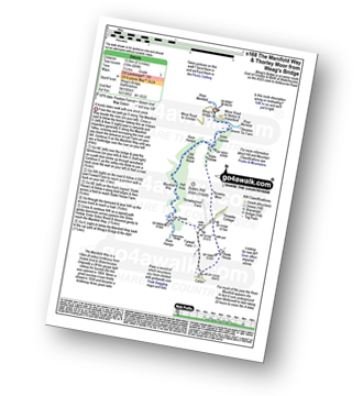
Walk s168 The Manifold Way and Thorley Moor from Weag's Bridge

A lovely Staffordshire dales walk with one short ascent

Download GPS Waypoint Data for walk s168
Download GPX Waypoint Data for walk s168
Download Map and Route Details for walk s168

Vital Statistics:

Length:6.5 miles (10.5 km)
Ascent:689ft (210m)
Time:3.25hrs
Grade:Grade 3 Walking Easy
Walk 8 Walking Bootprint Icon

Walk s163 A walk around Wetton Hill from Wetton

An easy walk in hill and dale

Download GPS Waypoint Data for walk s163
Download GPX Waypoint Data for walk s163
Download Map and Route Details for walk s163

Vital Statistics:

Length:4.5 miles (7 km)
Ascent:623ft (190m)
Time:2.25hrs
Grade:Grade 3 Walking Easy
Walk 9 Walking Bootprint Icon

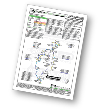
Walk s134 The Manifold Way, Wettonmill, Sugarloaf and Ecton Hill from Hulme End

A lovely dales walk with fine views

Download GPS Waypoint Data for walk s134
Download GPX Waypoint Data for walk s134
Download Map and Route Details for walk s134

Vital Statistics:

Length:6 miles (9.5 km)
Ascent:1,034ft (315m)
Time:3.25hrs
Grade:Grade 3 Walking Easy
Walk 10 Walking Bootprint Icon

Walk s115 Brund from Hulme End

Easy stroll

Download GPS Waypoint Data for walk s115
Download GPX Waypoint Data for walk s115
Download Map and Route Details for walk s115

Vital Statistics:

Length:3.75 miles (6 km)
Ascent:289ft (88m)
Time:1.75hrs
Grade:Grade 2 Walking Easy
Walk 11 Walking Bootprint Icon

Walk s105 Manifold Way and Wetton from Hulme End

A lovely dales walk with superb views

Download GPS Waypoint Data for walk s105
Download GPX Waypoint Data for walk s105
Download Map and Route Details for walk s105

Vital Statistics:

Length:8.75 miles (14 km)
Ascent:1,848ft (563m)
Time:5 hrs
Grade:Grade 6 Walking Moderate
Walk 12 Walking Bootprint Icon

Walk s101 Manifold Way from Waterhouses

A lovely dales walk

Download GPS Waypoint Data for walk s101
Download GPX Waypoint Data for walk s101
Download Map and Route Details for walk s101

Vital Statistics:

Length:8.25 miles (13 km)
Ascent:1,588ft (484m)
Time:4½ hrs
Grade:Grade 5 Walking Moderate

See this list of walks, routes & maps in:

Grade Order | Length Order | Time Order | Walk Number or Start Location Order
NB. To reverse (toggle) this order, click Number Order again


Do not miss our pick of the Best Walks in the UK


Follow go4awalk.com on Twitter Follow go4awalk.com on Facebook


Home


Find new Friends to go walking with

Walk all 214 Wainwrights in just 59 Walks. Download GPS Waypoints - Great Walks you must not miss!

Walk The Yorkshire Three Peaks Challenge Walk - All the Latest Route Information, GPS Waypoints and Split Times to keep you on Schedule

Walk The British Three Peaks Challenge Walk - All the Latest Route Information and GPS Waypoints

See our pick of The Best Walks in The Lake District - Great Walks you must not miss!

Walk our pick of the Best Lake District Ridge Walks - Great Walks you must not miss!

Walk our pick of the Best Lake District Walks to do in the rain - Great Walks you must not miss!

Walk our pick of The Best Walks in Snowdonia - Great Walks you must not miss!

Walk our pick of The Best Ridge Walks in Wales - Walks you must not miss!

Walk our pick of The Best Walks in The Brecon Beacons - Great Walks you must not miss!

Walk our pick of The Best Walks in The Yorkshire Dales - Walks you must not miss!

Walk our pick of The Best Walks in The Peak District - Walks you must not miss!

Walk our pick of The Best Walks in The Forest of Bowland - Walks you must not miss!

Walk our pick of The Best Walks in Shropshire - Walks you must not miss!

Walk our pick of The Best Walks in Cheshire - Walks you must not miss!

Walk our pick of The Best Walks in Lancashire - Walks you must not miss!

Not sure where to walk next? Try Peak Bagging - Great Walks you must not miss!

Not sure where to walk next? Walk part of a National Trail - Great Walks you must not miss!

Walks with Downloadable and Uploadable GPS Waypoint Data

Walking Kit and Gear Tested by Walkers

Full Site Search