|
Vital Statistics:
| Length: | 3¾mls (6km) |
| Ascent: | 289ft (88m) |
| Time: | 1¾hrs |
| Grade: |  |

Route outline for walk s115:
Hulme End - Manifold Valley Visitors Centre - Lowend - Low End Farm - Buttsend - Brund - The Manifold Way - The River Manifold - Brund Mill - Holme House - Hulme End


National Trails & Long Paths included on this walk:
Part of this walk follows a section of The Manifold Way, a 13km (8 miles) linear footpath connecting Hulme End in Staffordshire, England with Waterhouses in Staffordshire, England. Originally a 2ft 6in (0.762m) gauge light railway for tourists the line was opened in 1904. Never a great success it was finally closed in 1934 and became a bridleway three years later. The Manifold Way is waymarked by named posts. For more walks that include a section of this trail see The Manifold Way.
You can find this walk and other nearby walks on these unique free-to-access Interactive Walk Planning Maps:
1:25,000 scale OS Explorer Map (orange/yellow covers):
1:50,000 scale OS Landranger Map (pink/magenta covers):
Some Photos and Pictures from Walk s115 Brund from Hulme End
In no particular order . . .

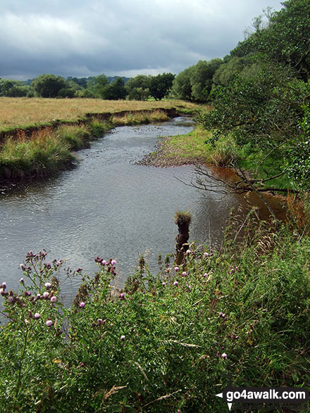
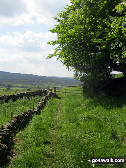

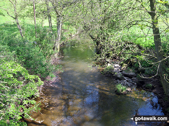

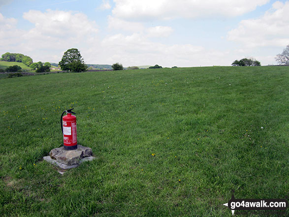
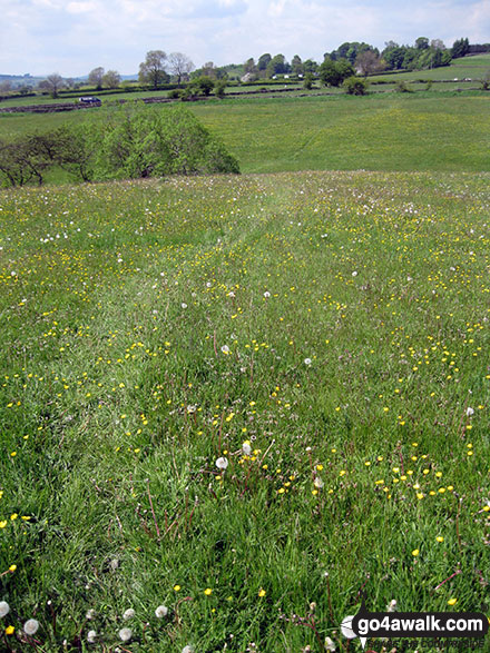
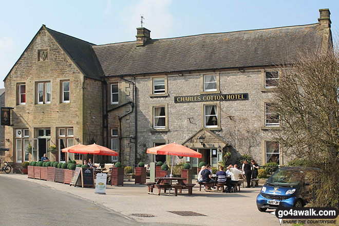
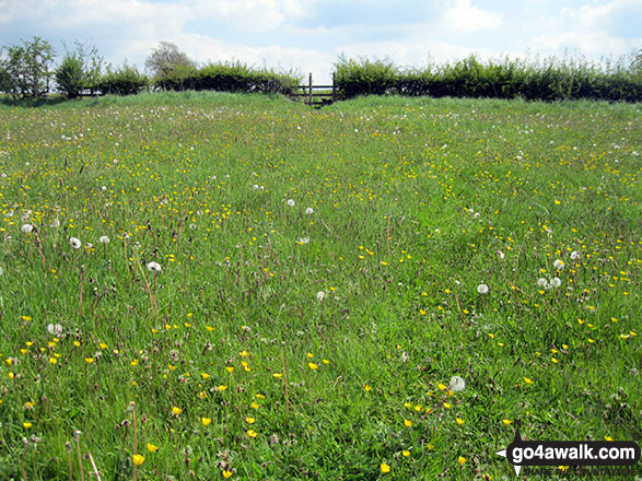
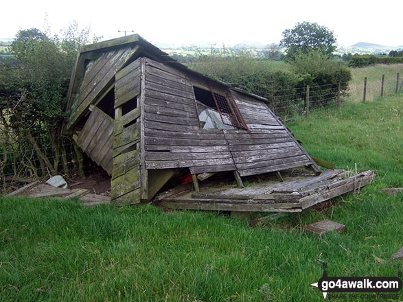
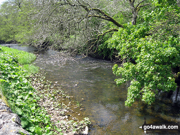
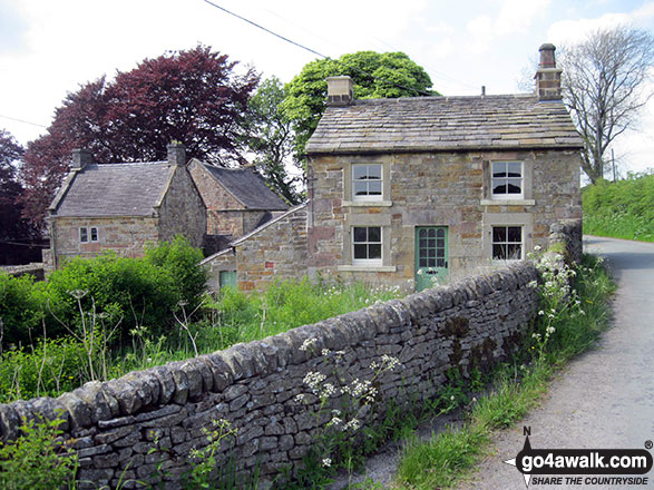
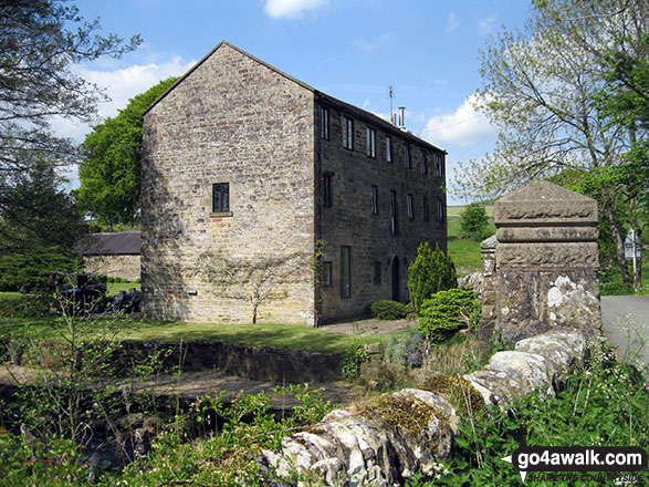

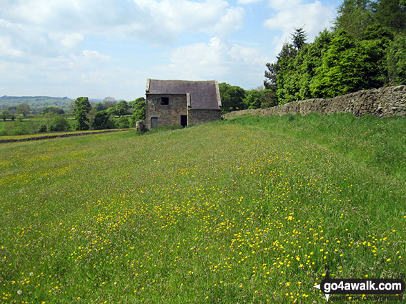
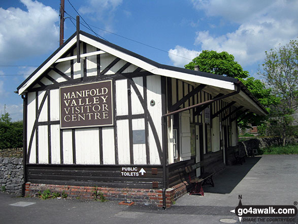
The former railway station at Hulme End - now The Manifold Valley Visitor Centre


Send us your photographs and pictures from your walks and hikes
We would love to see your photographs and pictures from walk s115 Brund from Hulme End. Send them in to us as email attachments (configured for any computer) along with your name and where the picture was taken to:
and we shall do our best to publish them.
(Guide Resolution = 300dpi. At least = 660 pixels (wide) x 440 pixels (high).)

You can also submit photos from walk s115 Brund from Hulme End via our Facebook Page.
NB. Please indicate where each photo was taken.