30 easy to follow walk route maps of all grades that include part of The Limestone Way

The Limestone Way is an 80km (50 miles) linear footpath connecting Castleton in Derbyshire, England with Rocester in Staffordshire, England.

The Limestone Way is waymarked by a Derby ram.


See this list of walks, routes & maps in:

Grade Order | Length Order | Time Order | Walk Number or Start Location Order
NB. To reverse (toggle) this order, click Grade Order again


Walk 1 Walking Bootprint Icon

Walk d127 Lathkill Dale and Bradford Dale from Youlgreave

A delightful riverside stroll

Download GPS Waypoint Data for walk d127
Download GPX Waypoint Data for walk d127
Download Map and Route Details for walk d127

Vital Statistics:

Length:4 miles (6 km)
Ascent:610ft (186m)
Time:2.25hrs
Grade:Grade 3 Walking Easy
Walk 2 Walking Bootprint Icon

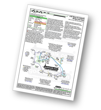
Walk s187 Blore and Coldwall Bridge from Ilam

An easy stroll with one short steep climb

Download GPS Waypoint Data for walk s187
Download GPX Waypoint Data for walk s187
Download Map and Route Details for walk s187

Vital Statistics:

Length:4.75 miles (7.5 km)
Ascent:754ft (230m)
Time:2½ hrs
Grade:Grade 3 Walking Easy
Walk 3 Walking Bootprint Icon

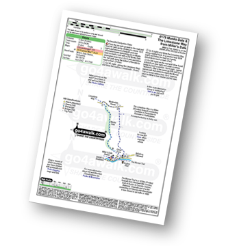
Walk d179 Monks Dale and The Limestone Way from Miller's Dale

The beautiful Derbyshire Dales

Download GPS Waypoint Data for walk d179
Download GPX Waypoint Data for walk d179
Download Map and Route Details for walk d179

Vital Statistics:

Length:4 miles (6.5 km)
Ascent:942ft (287m)
Time:2½ hrs
Grade:Grade 3 Walking Easy
Walk 4 Walking Bootprint Icon

Walk d129 The High Peak Trail and The Limestone Way from Monyash

Beautiful Derbyshire

Download GPS Waypoint Data for walk d129
Download GPX Waypoint Data for walk d129
Download Map and Route Details for walk d129

Vital Statistics:

Length:6 miles (9.5 km)
Ascent:565ft (172m)
Time:2.75hrs
Grade:Grade 3 Walking Easy
Walk 5 Walking Bootprint Icon

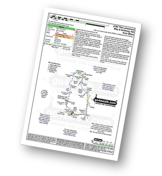
Walk d180 The Limestone Way and Anthony Hill from Elton

Superb 360 views from Anthony Hill

Download GPS Waypoint Data for walk d180
Download GPX Waypoint Data for walk d180
Download Map and Route Details for walk d180

Vital Statistics:

Length:3.75 miles (6 km)
Ascent:660ft (200m)
Time:3 hrs
Grade:Grade 3 Walking Easy
Walk 6 Walking Bootprint Icon

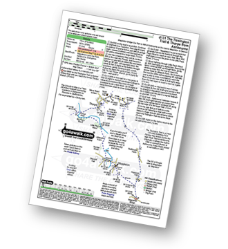
Walk d131 The Tissington Trail and Thorpe from Ashbourne

A dismantled railway & a riverside path

Download GPS Waypoint Data for walk d131
Download GPX Waypoint Data for walk d131
Download Map and Route Details for walk d131

Vital Statistics:

Length:6.75 miles (11 km)
Ascent:876ft (267m)
Time:3½ hrs
Grade:Grade 4 Walking Moderate
Walk 7 Walking Bootprint Icon

Walk d132 Gratton Dale and Winster from Elton

A pleasant stroll with one short steep climb

Download GPS Waypoint Data for walk d132
Download GPX Waypoint Data for walk d132
Download Map and Route Details for walk d132

Vital Statistics:

Length:8.5 miles (13.5 km)
Ascent:978ft (298m)
Time:4 hrs
Grade:Grade 4 Walking Moderate
Walk 8 Walking Bootprint Icon

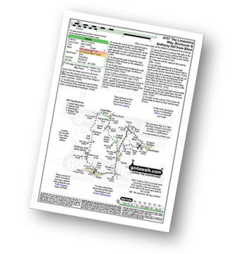
Walk d157 The Limestone Way, Birchover and Anthony Hill from Elton

Some short but steep ascents & descents

Download GPS Waypoint Data for walk d157
Download GPX Waypoint Data for walk d157
Download Map and Route Details for walk d157

Vital Statistics:

Length:5.5 miles (9 km)
Ascent:984ft (300m)
Time:3 hrs
Grade:Grade 4 Walking Moderate
Walk 9 Walking Bootprint Icon

Walk d194 Elton and The Limestone Way from Youlgreave

Moorland & dales

Download GPS Waypoint Data for walk d194
Download GPX Waypoint Data for walk d194
Download Map and Route Details for walk d194

Vital Statistics:

Length:6.5 miles (10.5 km)
Ascent:1,145ft (349m)
Time:3½ hrs
Grade:Grade 4 Walking Moderate
Walk 10 Walking Bootprint Icon

Walk d209 Parwich and Fenny Bentley from Tissington

Gently rolling hills

Download GPS Waypoint Data for walk d209
Download GPX Waypoint Data for walk d209
Download Map and Route Details for walk d209

Vital Statistics:

Length:7.25 miles (12.5 km)
Ascent:1,007ft (307m)
Time:4 hrs
Grade:Grade 4 Walking Moderate
Walk 11 Walking Bootprint Icon

Walk d119 Eldon Hill (Perryfoot) from Peak Forest

Superb views from a little climbed hill

Download GPS Waypoint Data for walk d119
Download GPX Waypoint Data for walk d119
Download Map and Route Details for walk d119

Vital Statistics:

Length:5.75 miles (9 km)
Ascent:928ft (283m)
Time:3 hrs
Grade:Grade 4 Walking Moderate
Walk 12 Walking Bootprint Icon

Walk s212 Blore, The River Dove and Mappleton from Swinscoe

Lovely Staffordshire dales

Download GPS Waypoint Data for walk s212
Download GPX Waypoint Data for walk s212
Download Map and Route Details for walk s212

Vital Statistics:

Length:6 miles (9.5 km)
Ascent:918ft (280m)
Time:3.25hrs
Grade:Grade 4 Walking Moderate
Walk 13 Walking Bootprint Icon

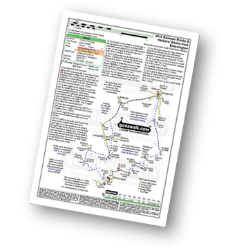
Walk d110 Rainster Rocks and Harboro' Rocks from Brassington

A leisurely stroll with fine views

Download GPS Waypoint Data for walk d110
Download GPX Waypoint Data for walk d110
Download Map and Route Details for walk d110

Vital Statistics:

Length:7.25 miles (11.5 km)
Ascent:1,080ft (329m)
Time:3.75hrs
Grade:Grade 4 Walking Moderate
Walk 14 Walking Bootprint Icon

Walk d332 Clough Wood and Wensley from Winster

A nice variety of moorland and woodland

Download GPS Waypoint Data for walk d332
Download GPX Waypoint Data for walk d332
Download Map and Route Details for walk d332

Vital Statistics:

Length:5.75 miles (9 km)
Ascent:1,217ft (371m)
Time:3.25hrs
Grade:Grade 4 Walking Moderate
Walk 15 Walking Bootprint Icon

Walk d123 Mam Tor via Cavedale from Castleton

Limestone moorland with superb views

Download GPS Waypoint Data for walk d123
Download GPX Waypoint Data for walk d123
Download Map and Route Details for walk d123

Vital Statistics:

Length:6 miles (9.5 km)
Ascent:1,887ft (575m)
Time:4 hrs
Grade:Grade 5 Walking Moderate
Walk 16 Walking Bootprint Icon

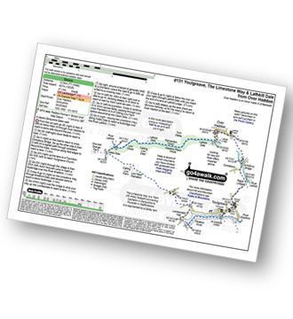
Walk d151 Youlgreave, The Limestone Way and Lathkill Dale from Over Haddon

A classic Derbyshire Dales walk

Download GPS Waypoint Data for walk d151
Download GPX Waypoint Data for walk d151
Download Map and Route Details for walk d151

Vital Statistics:

Length:7.75 miles (12.5 km)
Ascent:1,532ft (467m)
Time:4½ hrs
Grade:Grade 5 Walking Moderate
Walk 17 Walking Bootprint Icon

Walk d166 Stanton Moor, Birchover and Youlgreave from Stanton in the Peak

Wild moorland walking

Download GPS Waypoint Data for walk d166
Download GPX Waypoint Data for walk d166
Download Map and Route Details for walk d166

Vital Statistics:

Length:7.5 miles (12 km)
Ascent:1,335ft (407m)
Time:4.25hrs
Grade:Grade 5 Walking Moderate
Walk 18 Walking Bootprint Icon

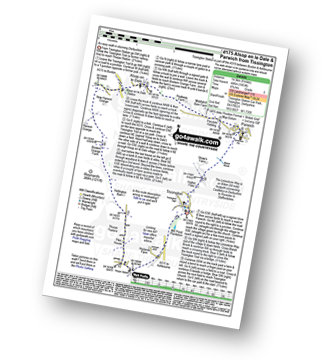
Walk d175 Alsop en le Dale and Parwich from Tissington

An easy walk in stunning Derbyshire

Download GPS Waypoint Data for walk d175
Download GPX Waypoint Data for walk d175
Download Map and Route Details for walk d175

Vital Statistics:

Length:9 miles (14.5 km)
Ascent:1,453ft (446m)
Time:4.75hrs
Grade:Grade 5 Walking Moderate
Walk 19 Walking Bootprint Icon

Walk d196 Water-cum-Jolly Dale, Cressbrook Dale and Monks Dale from Miller's Dale

A walk through five different dales

Download GPS Waypoint Data for walk d196
Download GPX Waypoint Data for walk d196
Download Map and Route Details for walk d196

Vital Statistics:

Length:9.75 miles (15.5 km)
Ascent:1,431ft (436m)
Time:5 hrs
Grade:Grade 5 Walking Moderate
Walk 20 Walking Bootprint Icon

Walk d204 Deep Dale, Taddington, Sough Top, The Limestone Way and Flagg from Monyash

Generally level walk through lovely scenery

Download GPS Waypoint Data for walk d204
Download GPX Waypoint Data for walk d204
Download Map and Route Details for walk d204

Vital Statistics:

Length:9.75 miles (15.5 km)
Ascent:1,342ft (409m)
Time:5 hrs
Grade:Grade 5 Walking Moderate
Walk 21 Walking Bootprint Icon

Walk d319 Youlgreave, Elton and The Limestone Way from Winster

Moorland & valleys

Download GPS Waypoint Data for walk d319
Download GPX Waypoint Data for walk d319
Download Map and Route Details for walk d319

Vital Statistics:

Length:8.75 miles (14 km)
Ascent:1,342ft (409m)
Time:4½ hrs
Grade:Grade 5 Walking Moderate
Walk 22 Walking Bootprint Icon

Walk d138 Monks Dale, Miller's Dale and Tideswell Dale from Tideswell

The beautiful Derbyshire Dales

Download GPS Waypoint Data for walk d138
Download GPX Waypoint Data for walk d138
Download Map and Route Details for walk d138

Vital Statistics:

Length:7.25 miles (11.5 km)
Ascent:1,411ft (430m)
Time:4 hrs
Grade:Grade 5 Walking Moderate
Walk 23 Walking Bootprint Icon

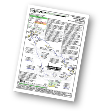
Walk d217 Blakelow Hill, Bonsall and Slaley from Winster

An easy walk onto high moorland

Download GPS Waypoint Data for walk d217
Download GPX Waypoint Data for walk d217
Download Map and Route Details for walk d217

Vital Statistics:

Length:8.25 miles (13 km)
Ascent:1,358ft (414m)
Time:4½ hrs
Grade:Grade 5 Walking Moderate
Walk 24 Walking Bootprint Icon

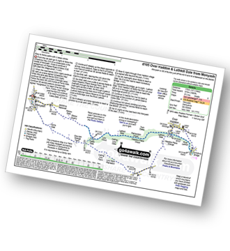
Walk d105 Over Haddon and Lathkill Dale from Monyash

Easy to follow paths

Download GPS Waypoint Data for walk d105
Download GPX Waypoint Data for walk d105
Download Map and Route Details for walk d105

Vital Statistics:

Length:10.5 miles (17 km)
Ascent:1,880ft (573m)
Time:5.75hrs
Grade:Grade 6 Walking Moderate
Walk 25 Walking Bootprint Icon

Walk d140 The Tissington Trail and Dove Dale from Ashbourne

A long but rewarding walk

Download GPS Waypoint Data for walk d140
Download GPX Waypoint Data for walk d140
Download Map and Route Details for walk d140

Vital Statistics:

Length:12.25 miles (19.5 km)
Ascent:1,930ft (588m)
Time:6½ hrs
Grade:Grade 6 Walking Moderate
Walk 26 Walking Bootprint Icon

Walk d158 Sparrowpit and Mam Tor from Castleton

Limestone moorland with superb views

Download GPS Waypoint Data for walk d158
Download GPX Waypoint Data for walk d158
Download Map and Route Details for walk d158

Vital Statistics:

Length:11.5 miles (18.5 km)
Ascent:2,001ft (610m)
Time:6 hrs
Grade:Grade 6 Walking Moderate
Walk 27 Walking Bootprint Icon

Walk d259 Hurdlow, High Wheeldon, Crowdecote, Upper Dove Dale and Pilsbury Castle Hills from Monyash

The lovely Derbyshire Dales

Download GPS Waypoint Data for walk d259
Download GPX Waypoint Data for walk d259
Download Map and Route Details for walk d259

Vital Statistics:

Length:10.25 miles (16.5 km)
Ascent:1,453ft (443m)
Time:5.25hrs
Grade:Grade 6 Walking Moderate
Walk 28 Walking Bootprint Icon

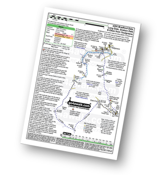
Walk d295 Bradford Dale, Long Dale, Gratton Dale and Elton from Youlgreave

A quiet walk on moors and valleys

Download GPS Waypoint Data for walk d295
Download GPX Waypoint Data for walk d295
Download Map and Route Details for walk d295

Vital Statistics:

Length:9.5 miles (15 km)
Ascent:1,696ft (517m)
Time:5.25hrs
Grade:Grade 6 Walking Moderate
Walk 29 Walking Bootprint Icon

Walk d313 Winster, Youlgreave and Birchover from Darley Bridge

Superb walk full of variety

Download GPS Waypoint Data for walk d313
Download GPX Waypoint Data for walk d313
Download Map and Route Details for walk d313

Vital Statistics:

Length:12.75 miles (20.5 km)
Ascent:1,956ft (596m)
Time:6.75hrs
Grade:Grade 6 Walking Moderate
Walk 30 Walking Bootprint Icon

Walk d152 Monyash, Youlgreave, Bradford Dale, Middleton-by-Youlgreave and Kenslow Knoll from Sparklow, Hurdlow

Long but lovely walk in the beautiful derbyshire dales

Download GPS Waypoint Data for walk d152
Download GPX Waypoint Data for walk d152
Download Map and Route Details for walk d152

Vital Statistics:

Length:15 miles (24 km)
Ascent:1,831ft (558m)
Time:7.25hrs
Grade:Grade 7 Walking Hard

See this list of walks, routes & maps in:

Grade Order | Length Order | Time Order | Walk Number or Start Location Order
NB. To reverse (toggle) this order, click Grade Order again


Do not miss our pick of the Best Walks in the UK


Follow go4awalk.com on Twitter Follow go4awalk.com on Facebook


Home


Find new Friends to go walking with

Walk all 214 Wainwrights in just 59 Walks. Download GPS Waypoints - Great Walks you must not miss!

Walk The Yorkshire Three Peaks Challenge Walk - All the Latest Route Information, GPS Waypoints and Split Times to keep you on Schedule

Walk The British Three Peaks Challenge Walk - All the Latest Route Information and GPS Waypoints

See our pick of The Best Walks in The Lake District - Great Walks you must not miss!

Walk our pick of the Best Lake District Ridge Walks - Great Walks you must not miss!

Walk our pick of the Best Lake District Walks to do in the rain - Great Walks you must not miss!

Walk our pick of The Best Walks in Snowdonia - Great Walks you must not miss!

Walk our pick of The Best Ridge Walks in Wales - Walks you must not miss!

Walk our pick of The Best Walks in The Brecon Beacons - Great Walks you must not miss!

Walk our pick of The Best Walks in The Yorkshire Dales - Walks you must not miss!

Walk our pick of The Best Walks in The Peak District - Walks you must not miss!

Walk our pick of The Best Walks in The Forest of Bowland - Walks you must not miss!

Walk our pick of The Best Walks in Shropshire - Walks you must not miss!

Walk our pick of The Best Walks in Cheshire - Walks you must not miss!

Walk our pick of The Best Walks in Lancashire - Walks you must not miss!

Not sure where to walk next? Try Peak Bagging - Great Walks you must not miss!

Not sure where to walk next? Walk part of a National Trail - Great Walks you must not miss!

Walks with Downloadable and Uploadable GPS Waypoint Data

Walking Kit and Gear Tested by Walkers

Full Site Search
Do not miss our pick of the Best Walks in Britain