Six easy to follow circular walk route maps from Monyash in the The White Peak Area of The Peak District National Park, Derbyshire, England

   |
Vital Statistics:
| Length: | 6 miles (9.5 km) |
| Ascent: | 565ft (172m) |
| Time: | 2.75hrs |
| Grade: |  |

Route Summary:
Monyash - Moscar Farm - The High Peak Trail - Parsley Hay - Hardlow - Sparklow - Bull I' Th' Thorn Inn - Newton Farm - Hutmoor Butts - The Limestone Way - Dalehouse Farm - Monyash


|
Vital Statistics:
| Length: | 9.75 miles (15.5 km) |
| Ascent: | 1,342ft (409m) |
| Time: | 5 hrs |
| Grade: |  |
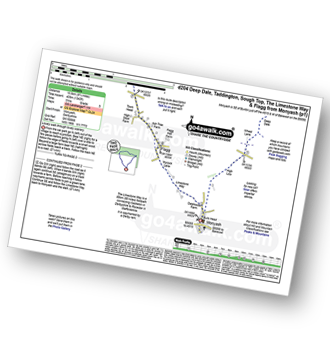
Route Summary:
Monyash - High Low - Wheal Lane - Deep Dale - White Lodge (A6) - Taddington Field - Lodley View Farm - Taddington - Sough Top - The Limestone Way - Flagg - Monyash

|
Vital Statistics:
| Length: | 9.75 miles (15.5 km) |
| Ascent: | 1,522ft (464m) |
| Time: | 5 hrs |
| Grade: | |

Route Summary:
Sheldon - High Low - Nursery Field Farm - Monyash - Riklow Dale - Lathkill Dale - Cales Dale - Low Wood - Calling Low Dale - Palmerston Wood - Meadow Place Grange - Twin Dales - Lathkill Lodge - Over Haddon - Bole Hill (Bakewell) - Kirk Dale - Magpie Mine - Sheldon

|
Vital Statistics:
| Length: | 10.5 miles (17 km) |
| Ascent: | 1,880ft (573m) |
| Time: | 5.75hrs |
| Grade: |  |
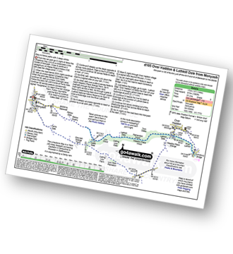
Route Summary:
Monyash - The Limestone Way - Ferns Dale - One Ash Grange Farm - Cales Dale - Calling Low Farm - Low Moor Plantation - Moor Lane - Meadow Place Grange - Lathkill Dale - Over Haddon - Conksbury Bridge - Lathkill Dale - Twin Dale - Meadow Place Wood - Palmerston Wood - Calling Low Dale - Low Wood - Riklow Dale - Monyash

|
Vital Statistics:
| Length: | 10.25 miles (16.5 km) |
| Ascent: | 1,453ft (443m) |
| Time: | 5.25hrs |
| Grade: | |

Route Summary:
Monyash - The Limestone Way - Dalehouse Farm - Blackwell Lane - Hutmoor Butts - Hardlow - Sparklow - High Wheeldon - Crowdecote (Crowdicote) - Bridge End Farm - Upper Dove Dale - Pilsbury Castle Hills - Vincent House - Darley Farm - Parsley Hay - Moscar Farm - Monyash

|
Vital Statistics:
| Length: | 15 miles (24 km) |
| Ascent: | 1,831ft (558m) |
| Time: | 7.25hrs |
| Grade: |  |
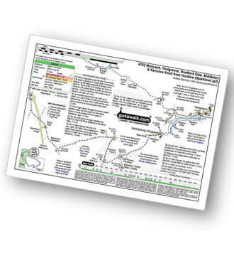
Route Summary:
Hurdlow - Sparklow - The High Peak Trail - Hutmoor Butts - The Limestone Way - Monyash - One Ash Grange Farm - Calling Low Farm - Cales Dale - Moor Lane - Youlgreave - Lomberdale Hall - Middleton-by-Youlgreave - Rake Wood - Little Rookery Plantation - Kenslow Farm - Kenslow Knoll - Ringham Low (Friden) - Mere Farm - Green Lane (Friden) - The High Peak Trail - Sparklow - Hurdlow