Walk d119 Eldon Hill (Perryfoot) from Peak Forest

This 5¾ mile, Grade 4 (Moderate), easy-to-follow, hand-crafted walk, complete with GPS Waypoints, starts at Peak Forest & will take about 3 hrs to complete.

Download Walk PDF Icon
Download GPX Track Icon
Download GPS Waypoints Icon

Vital Statistics:

Length:5¾mls (9km)
Ascent:928ft (283m)
Time:3hrs
Grade:Walk Grade 4_23_with_text.png Icon

Route outline for walk d119:

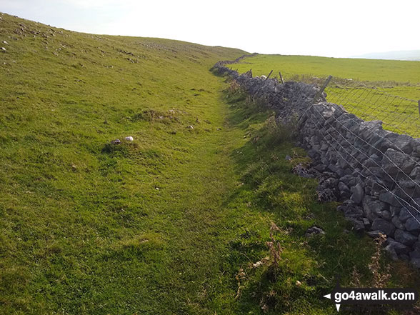
Peak Forest  -  Old Dam  -  Sweet Knoll Farm  -  Eldon Hole  -  Eldon Hill (Perryfoot)  -  Eldon Hill Quarries  -  The Limestone Way  -  Old Moor  -  Bradwell Moor  -  The Cop  -  West View  -  Old Dam  -  Peak Forest

Points of Interest/Notes on this walk:

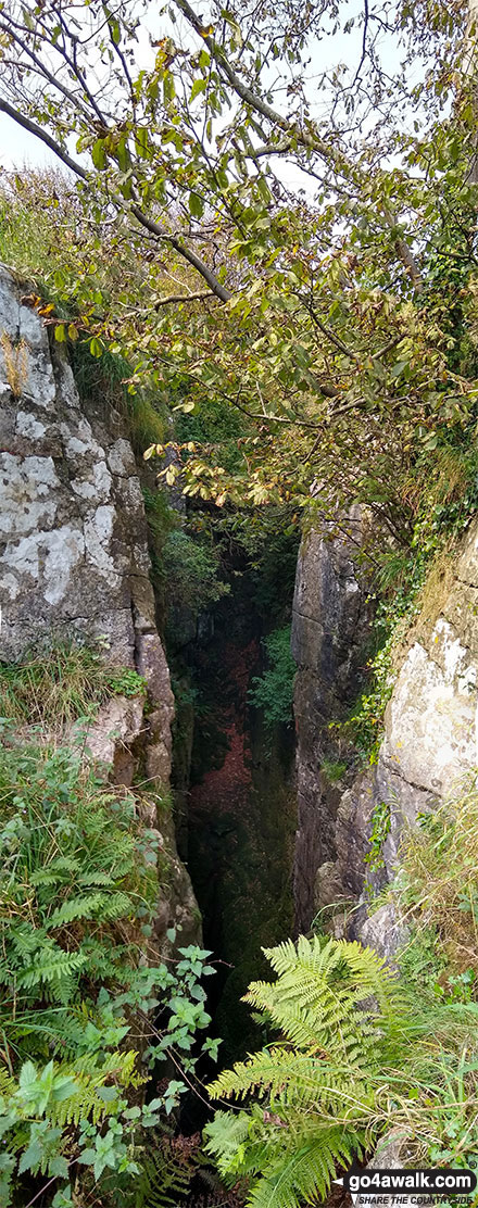
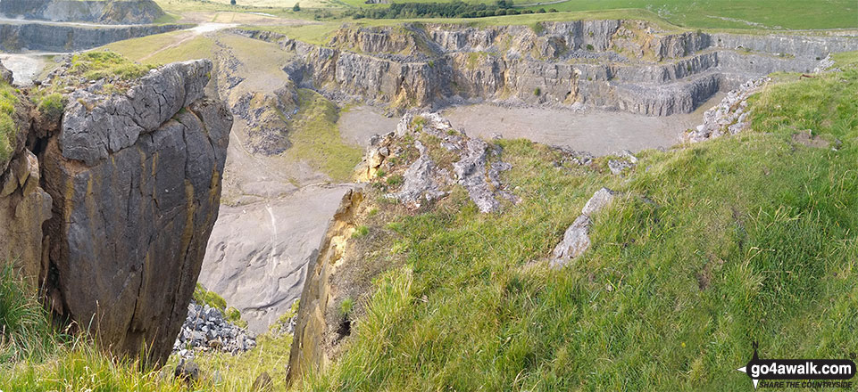
Eldon Hole is thought to be the deepest pothole in Derbyshire. The fenced-off entrance is 33m (110ft) long, 6m (20ft) wide & 75m (248ft) deep. There is a 20m (65ft) high pile of stones in the bottom which slopes away into a huge 200m (656ft) x 85m (278ft) cavern with domed roof covered in stalactites. Eldon Hole is known as one of the Seven Wonders of the Peak District.

Peaks, Summits and Tops reached on this walk:

Hewitt Icon
0
English
Mountains
Wainwright Icon
0
Wainwrights
English Nuttall Icon
0
English
Nuttalls
Dewey Icon
0
English
Deweys
Wainwright Outlying Fell Icon
0
Wainwright
Outlying Fells
Marilyn Icon
0
Marilyns
Bridget Icon
2
Bridgets

Peak Bagging Statistics for this walk:

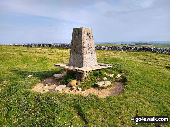
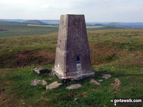
The highest point of this walk is Bradwell Moor at 471m (1545ft). Bradwell Moor is known as an English Bridget. The summit of Bradwell Moor is marked by an Ordnance Survey Trig Point.

Completing this walk will also take you to the top of Eldon Hill (Perryfoot) at 470m (1542ft). Eldon Hill (Perryfoot) is known as an English Bridget.

National Trails & Long Paths included on this walk:

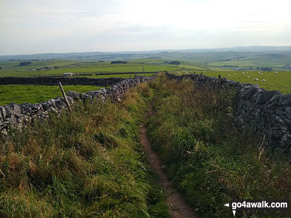
Part of this walk follows a section of The Limestone Way, an 80km (50 miles) linear footpath connecting Castleton in Derbyshire, England with Rocester in Staffordshire, England. The Limestone Way is waymarked by a Derby ram. For more walks that include a section of this trail see The Limestone Way.


You can find this walk and other nearby walks on these unique Interactive Walk Planning Maps:

(worth a look if you're new to go4awalk.com & have never seen one of these before.)

The Peak District National Park


1:25,000 scale OS Explorer Maps (orange/yellow covers):

OS Explorer OL1 The Peak District - Dark Peak area

OS Explorer OL24 The Peak District - White Peak area


1:50,000 scale OS Landranger Maps (pink/magenta covers):

OS Landranger 110 Sheffield & Huddersfield, Glossop & Holmfirth


OS Landranger 119 Buxton & Matlock, Bakewell & Dove Dale


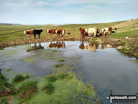
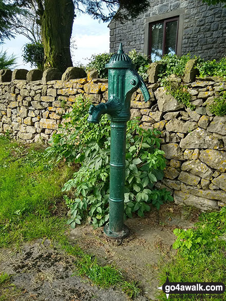
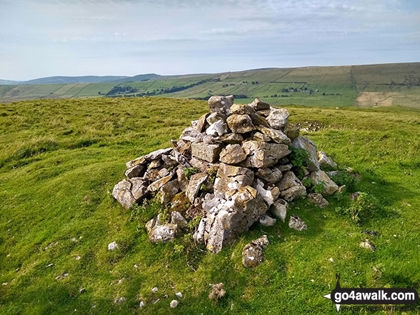
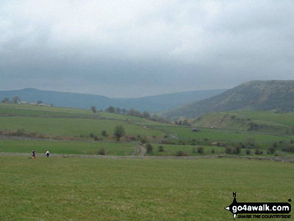
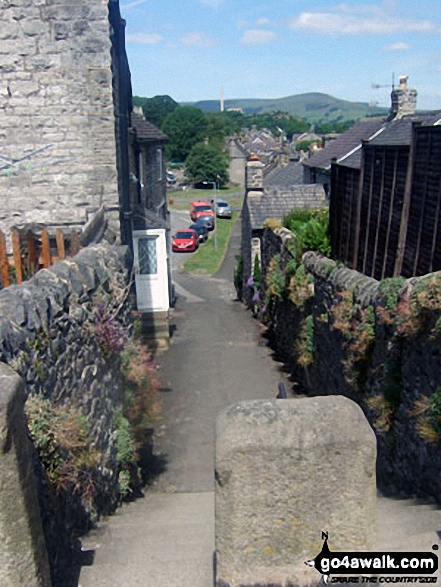
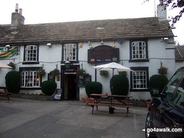
Some Photos and Pictures from Walk d119 Eldon Hill (Perryfoot) from Peak Forest

In no particular order . . .

Eldon Hill Quarry from Eldon Hill (Perryfoot)

Photo: Ben Stafford (77)

Fungi growing on Eldon Hill (Perryfoot)

Fungi growing on Eldon Hill (Perryfoot)

Photo: Ben Stafford (75)

Looking South from Eldon Hill (Perryfoot)

Looking South from Eldon Hill (Perryfoot)

Photo: Ben Stafford (74)

Bradwell Village

Bradwell Village

Photo: Russell Hubbard (3)

Green Lane and Bradwell

Green Lane and Bradwell

Photo: Mike Watson (1)

Bradwell Church

Bradwell Church

Photo: Russell Hubbard (1)

The Bowling Green, Bradwell

The Bowling Green, Bradwell

Photo: Simon Jacks (72)

Water pump in Old Dam

Water pump in Old Dam

Photo: Ben Stafford (82)

The Limestone Way near Bradwell Moor

The Limestone Way near Bradwell Moor

Photo: Ben Stafford (79)

The entrance to Eldon Hole

The entrance to Eldon Hole

Photo: Ben Stafford (73)


. . . load all 17 walk photos from Walk d119 Eldon Hill (Perryfoot) from Peak Forest


Send us your photographs and pictures from your walks and hikes

Send them in to us as email attachments (configured for any computer) along with your name/username and where the picture was taken to:

and we shall do our best to publish them.

(Guide Resolution = 300dpi. At least = 660 pixels (wide) x 440 pixels (high).)

Facebook Logo

You can also submit photos via our Facebook Page.

NB. Please indicate where each photo was taken so we can match it to a walk route.


Do not miss our pick of the Best Walks in Britain


Can two walk together, except they be agreed - Bible: Amos 3:3
Follow go4awalk.com on Twitter Follow go4awalk.com on Facebook


Find new Friends to go walking with

Walk all 214 Wainwrights in just 59 Walks. Download GPS Waypoints - Great Walks you must not miss!

Walk The Yorkshire Three Peaks Challenge Walk - All the Latest Route Information, GPS Waypoints and Split Times to keep you on Schedule

Walk The British Three Peaks Challenge Walk - All the Latest Route Information and GPS Waypoints

See our pick of The Best Walks in The Lake District - Great Walks you must not miss!

Walk our pick of the Best Lake District Ridge Walks - Great Walks you must not miss!

Walk our pick of the Best Lake District Walks to do in the rain - Great Walks you must not miss!

Walk our pick of The Best Walks in Snowdonia - Great Walks you must not miss!

Walk our pick of The Best Ridge Walks in Wales - Walks you must not miss!

Walk our pick of The Best Walks in The Brecon Beacons - Great Walks you must not miss!

Walk our pick of The Best Walks in The Yorkshire Dales - Walks you must not miss!

Walk our pick of The Best Walks in The Peak District - Walks you must not miss!

Walk our pick of The Best Walks in The Forest of Bowland - Walks you must not miss!

Walk our pick of The Best Walks in Shropshire - Walks you must not miss!

Walk our pick of The Best Walks in Cheshire - Walks you must not miss!

Walk our pick of The Best Walks in Lancashire - Walks you must not miss!

Not sure where to walk next? Try Peak Bagging - Great Walks you must not miss!

Not sure where to walk next? Walk part of a National Trail - Great Walks you must not miss!

Walks with Downloadable and Uploadable GPS Waypoint Data

Walking Kit and Gear Tested by Walkers

Full Site Search