5 easy to follow walk route maps of all grades that include part of The Jack Mytton Way

The Jack Mytton Way is a 116km (72 miles) linear footpath connecting Billingsley in Shropshire, England with Llanfair Waterdine in Shropshire, England.

The Jack Mytton Way is waymarked by a horse and rider motif.


See this list of walks, routes & maps in:

Grade Order | Length Order | Time Order | Walk Number or Start Location Order
NB. To reverse (toggle) this order, click Number Order again


Walk 1 Walking Bootprint Icon

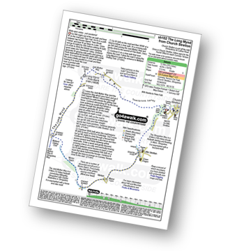
Walk sh102 Pole Bank and The Long Mynd from Church Stretton

Wide open vistas

Download GPS Waypoint Data for walk sh102
Download GPX Waypoint Data for walk sh102
Download Map and Route Details for walk sh102

Vital Statistics:

Length:8.75 miles (14 km)
Ascent:1,387ft (423m)
Time:4.75hrs
Grade:Grade 5 Walking Moderate
Walk 2 Walking Bootprint Icon

Walk sh103 Ragleth Hill and Caer Caradoc Hill from Church Stretton

Two steep ascents to bag two Bridgets

Download GPS Waypoint Data for walk sh103
Download GPX Waypoint Data for walk sh103
Download Map and Route Details for walk sh103

Vital Statistics:

Length:10.25 miles (16.5 km)
Ascent:2,435ft (742m)
Time:6.25hrs
Grade:Grade 6 Walking Moderate
Walk 3 Walking Bootprint Icon

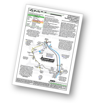
Walk sh109 Chelmarsh and Hampton Loade from Eardington

Riverside stroll and an ancient church

Download GPS Waypoint Data for walk sh109
Download GPX Waypoint Data for walk sh109
Download Map and Route Details for walk sh109

Vital Statistics:

Length:5.25 miles (8.5 km)
Ascent:532ft (162m)
Time:2½ hrs
Grade:Grade 3 Walking Easy
Walk 4 Walking Bootprint Icon

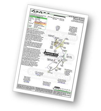
Walk sh131 Ragleth Hill from Church Stretton

Steep ascent to fantastic views

Download GPS Waypoint Data for walk sh131
Download GPX Waypoint Data for walk sh131
Download Map and Route Details for walk sh131

Vital Statistics:

Length:5.25 miles (8.5 km)
Ascent:945ft (288m)
Time:3 hrs
Grade:Grade 3 Walking Easy
Walk 5 Walking Bootprint Icon

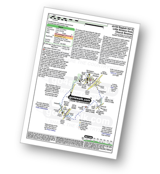
Walk sh152 Ragleth Hill and Little Stretton from Church Stretton

Steep uphill walk but the views are fantastic!

Download GPS Waypoint Data for walk sh152
Download GPX Waypoint Data for walk sh152
Download Map and Route Details for walk sh152

Vital Statistics:

Length:5.75 miles (9 km)
Ascent:1,027ft (313m)
Time:3.25hrs
Grade:Grade 4 Walking Moderate

See this list of walks, routes & maps in:

Grade Order | Length Order | Time Order | Walk Number or Start Location Order
NB. To reverse (toggle) this order, click Number Order again


Follow go4awalk.com on Twitter Follow go4awalk.com on Facebook


Home


Find new Friends to go walking with

Walk all 214 Wainwrights in just 59 Walks. Download GPS Waypoints - Great Walks you must not miss!

Walk The Yorkshire Three Peaks Challenge Walk - All the Latest Route Information, GPS Waypoints and Split Times to keep you on Schedule

Walk The British Three Peaks Challenge Walk - All the Latest Route Information and GPS Waypoints

See our pick of The Best Walks in The Lake District - Great Walks you must not miss!

Walk our pick of the Best Lake District Ridge Walks - Great Walks you must not miss!

Walk our pick of the Best Lake District Walks to do in the rain - Great Walks you must not miss!

Walk our pick of The Best Walks in Snowdonia - Great Walks you must not miss!

Walk our pick of The Best Ridge Walks in Wales - Walks you must not miss!

Walk our pick of The Best Walks in The Brecon Beacons - Great Walks you must not miss!

Walk our pick of The Best Walks in The Yorkshire Dales - Walks you must not miss!

Walk our pick of The Best Walks in The Peak District - Walks you must not miss!

Walk our pick of The Best Walks in The Forest of Bowland - Walks you must not miss!

Walk our pick of The Best Walks in Shropshire - Walks you must not miss!

Walk our pick of The Best Walks in Cheshire - Walks you must not miss!

Walk our pick of The Best Walks in Lancashire - Walks you must not miss!

Not sure where to walk next? Try Peak Bagging - Great Walks you must not miss!

Not sure where to walk next? Walk part of a National Trail - Great Walks you must not miss!

Walks with Downloadable and Uploadable GPS Waypoint Data

Walking Kit and Gear Tested by Walkers

Full Site Search
Do not miss our pick of the Best Walks in Britain