   |
Vital Statistics:
| Length: | 8¾mls (14km) |
| Ascent: | 1,387ft (423m) |
| Time: | 4¾hrs |
| Grade: |  |
Route outline for walk sh102:
Church Stretton - Town Brook - The Jack Mytton Way - The Long Mynd - Pole Bank (Long Mynd) - Midland Gliding Club - Minton Bach - Minton - Little Stretton - Chruch Stretton.
Peaks, Summits and Tops reached on this walk:
 0 English Mountains |
 0 Wainwrights |
 0 English Nuttalls |
 1 English Dewey |
 0 Wainwright Outlying Fells |
 1 Marilyn |
 0 Bridgets |
Peak Bagging Statistics for this walk:
The highest point of this walk is Pole Bank (Long Mynd) at 516m (1693ft). Pole Bank (Long Mynd) is also known as an English Dewey (149th highest in England, 341st in England & Wales) and an English Marilyn (74th highest in England, 948th highest in the UK). The summit of Pole Bank (Long Mynd) is marked by an Ordnance Survey Trig Point.
National Trails & Long Paths included on this walk:
Part of this walk follows a section of The Jack Mytton Way, a 116km (72 miles) linear footpath connecting Billingsley in Shropshire, England with Llanfair Waterdine in Shropshire, England. The Jack Mytton Way is waymarked by a horse and rider motif. For more walks that include a section of this trail see The Jack Mytton Way.
You can find this walk and other nearby walks on these unique free-to-access Interactive Walk Planning Maps:
1:25,000 scale OS Explorer Map (orange/yellow covers):
1:50,000 scale OS Landranger Map (pink/magenta covers):
Some Photos and Pictures from Walk sh102 Pole Bank and The Long Mynd from Church Stretton
In no particular order . . .
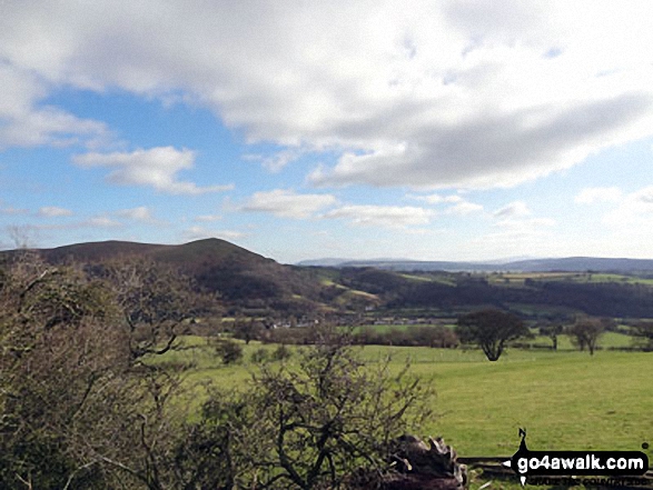
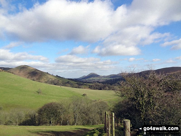
Nills (left) and Church Stretton with The Lawley and Caer Caradoc Hill beyond from near Minton
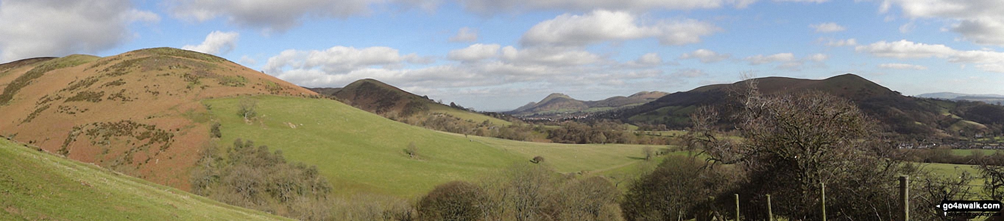
Callow (left), Nills, Church Stretton, The Lawley, Caer Caradoc Hill and Ragleth Hill (right) from near Minton

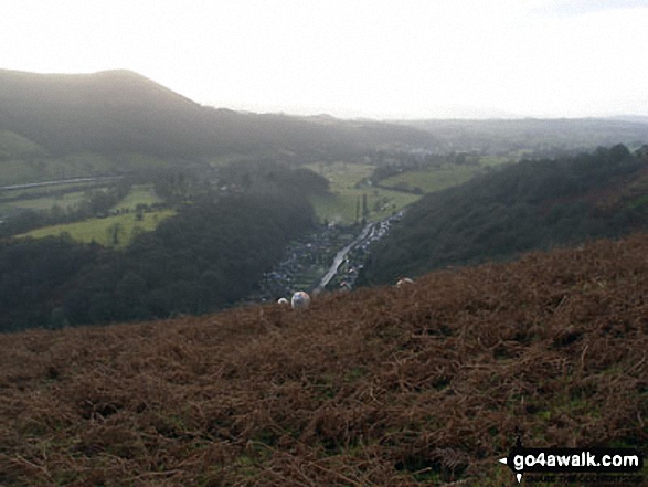
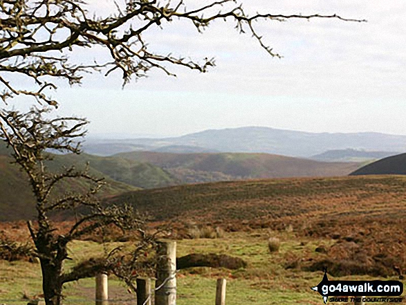


Church Stretton with The Lawley (left) and Caer Caradoc Hill behind from near Minton
Send us your photographs and pictures from your walks and hikes
We would love to see your photographs and pictures from walk sh102 Pole Bank and The Long Mynd from Church Stretton. Send them in to us as email attachments (configured for any computer) along with your name and where the picture was taken to:
and we shall do our best to publish them.
(Guide Resolution = 300dpi. At least = 660 pixels (wide) x 440 pixels (high).)

You can also submit photos from walk sh102 Pole Bank and The Long Mynd from Church Stretton via our Facebook Page.
NB. Please indicate where each photo was taken.


