Caer Caradoc Hill
459m (1506ft)
The Shropshire Hills, Shropshire, England
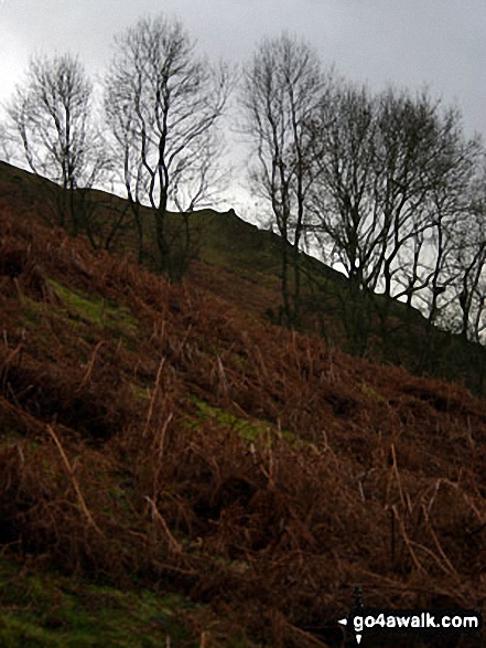
The summit of Caer Caradoc Hill is marked by a cairn.

Not familiar with this top?
You can walk/hike to the top of Caer Caradoc Hill by using any of these 3 easy‑to‑follow route maps:

Walk sh113 Caer Caradoc Hill from Church Stretton
Steep ascent to fabulous views
   |
|---|
Vital Statistics:
| Length: | 7ml (11km) |
|---|---|
| Ascent: | 1,214ft (370m) |
| Time: | 3.75hrs |
| Grade: |  (Moderate) (Moderate) |

Route Summary:
Church Stretton - Three Fingers Rock - Caer Caradoc Hill - Little Caradoc - Comley - Church Stretton


Walk sh134 Caer Caradoc Hill and The Lawley
Glorious Shropshire views
|
|---|
Vital Statistics:
| Length: | 8.5ml (13.5km) |
|---|---|
| Ascent: | 1,791ft (546m) |
| Time: | 5 hrs |
| Grade: |  (Moderate) (Moderate) |
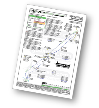
Route Summary:
Leebotwood - The Lawley - Comley - Caer Caradoc Hill - Three Fingers Rock - Comley - Leebotwood

Walk sh103 Ragleth Hill and Caer Caradoc Hill from Church Stretton
Two steep ascents to bag two Bridgets
|
|---|
Vital Statistics:
| Length: | 10.25ml (16.5km) |
|---|---|
| Ascent: | 2,435ft (742m) |
| Time: | 6.25hrs |
| Grade: |  (Moderate) (Moderate) |

Route Summary:
Church Stretton - The Jack Mytton Way - Snatchfield Farm - Clemcroft - Ragleth Hill - Ragdon Manor - Gaerstones Farm - Caer Caradoc Hill - Little Caradoc - Church Stretton
See Caer Caradoc Hill and the surrounding tops on our free-to-access 'Google Style' Peak Bagging Map:

The Shropshire Hills
Less data - quicker to download
See Caer Caradoc Hill and the surrounding tops on our unique, downloadable, PDF Peak Bagging Map:

NB: Whether you print off a copy or download it to your phone, this PDF Peak Baggers' Map might prove incredibly useful when your are up there on the tops and you cannot get a phone signal.
You can find Caer Caradoc Hill & all the walks that climb it on these unique free-to-access Interactive Walk Planning Maps:
1:25,000 scale OS Explorer Map (orange/yellow covers):
1:50,000 scale OS Landranger Maps (pink/magenta covers):
 Fellow go4awalkers who have already walked, climbed, scaled, summited, hiked & bagged Caer Caradoc Hill
Robert Lloyd walked up Caer Caradoc Hill on September 3rd, 2020 [from/via/route] Church Stretton [with] Imelda [weather] Cloudy but mainly dry - Easy route
Hilary Hardwick climbed it on March 25th, 2017 [from/via/route] started from Carding Mill Valley up to Long Mynd, descended & crossed over to Caer Caradoc, walked to summit & dozen other side back down to Church Stretton then up The Ragleth back down & across to ascend The Long Mynd again back down to Carding Mill Valley [with] we went with The National Trust, they run a couple of walks a year and it's called The Shropshire Skyline. There was a guide and 3 volunteers along with about 12 of us. [weather] beautiful sunny day a bit misty on a The Long Mynd at the start if the walk, once cleared we had blue sky & sun all day - quite a challenge 4 peaks in 8 hours & 18 miles in total ascent around 1500m. Will definitely do it again, found it a bit aged going at times at not at full fitness, next time I wont be the back marker!! But at least I didn't give up like 2 9of the group did
Samantha Kimber bagged it on April 3rd, 2016 [from/via/route] Willstone Farm starting point [with] Jono, Ellie, Tabby, Jasper [weather] Sunny, windy & fairly chilly - Jasper's first completely unaided peak - where he's walked the entire way, up & down - all by himself. Not bad for a 4 year old!
Simon Boddy hiked Caer Caradoc Hill on October 19th, 2014 [with] My girlfriend [weather] Sunny & windy
Stephen Reader summited on October 15th, 2014 [from/via/route] The Lawley [with] Bev & Shep [weather] Cloudy
Patrick Rogozinski, Dale Jones, Peter Bourne, Sue Bromley, Mark Davidson and Roderick Devall have all walked, climbed & bagged Caer Caradoc Hill.
To add (or remove) your name and experiences on this page - Log On and edit your Personal Mountain Bagging Record
More Photographs & Pictures of views from, on, or of, Caer Caradoc Hill

The Long Mynd (Pole Bank), Yearlet and Ashlet (mid-distance) with The Lawley (left), Caer Caradoc Hill, Church Stretton, Ragleth Hill (right) beyond from near Grindle above Ashes Hollow
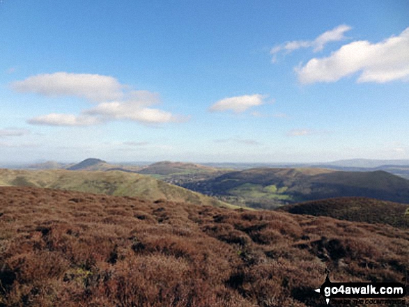
The Lawley (left), Caer Caradoc Hill, Church Stretton, Ragleth Hill (right) with Yearlet and Ashlet in the mid-distance from near Grindle above Ashes Hollow

Church Stretton with The Lawley (left) and Caer Caradoc Hill behind from near Minton

The best person in the world on top of Caer Caradoc Hill (featuring The Lawley (centre left) and The Wilderness (right)

The Lawley (far left) and The Wrekin (in the distance) from Caer Caradoc Hill
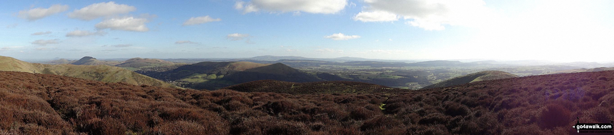
The Lawley (left), Caer Caradoc Hill, Church Stretton, Ragleth Hill (centre) from near Grindle above Ashes Hollow
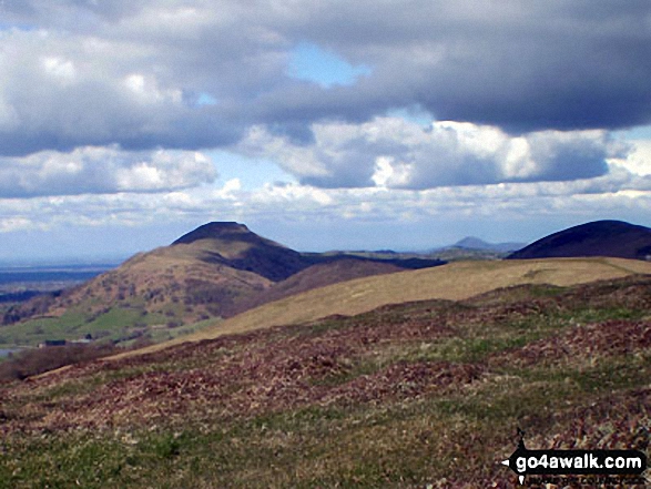
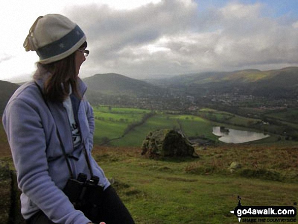
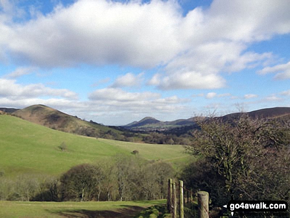
Nills (left) and Church Stretton with The Lawley and Caer Caradoc Hill beyond from near Minton
. . . see all 15 walk photographs & pictures of views from, on, or of, Caer Caradoc Hill
Send us your photographs and pictures on, of, or from Caer Caradoc Hill
If you would like to add your walk photographs and pictures to this page, please send them as email attachments (configured for any computer) along with your name to:
and we shall do our best to publish them.
(Guide Resolution = 300dpi. At least = 660pixels (wide) x 440 pixels (high).)

You can also submit photos via our Facebook Page.
NB. Please indicate where each photo was taken and whether you wish us to credit your photos with a Username or your First Name/Last Name.