10 easy to follow walk route maps of all grades that include part of The Gritstone Trail

The Gritstone Trail is a 56km (35 miles) linear footpath connecting Disley in Cheshire, England with Kidsgrove in Staffordshire, England.

The Gritstone Trail is waymarked by a black boot and a yellow G.


See this list of walks, routes & maps in:

Grade Order | Length Order | Time Order | Walk Number or Start Location Order
NB. To reverse (toggle) this order, click Start Order again


Walk 1 Walking Bootprint Icon

Walk ch108 The Cloud (Bosley Cloud) and The Macclesfield Canal from Timbersbrook

Huge views followed by a canal towpath

Download GPS Waypoint Data for walk ch108
Download GPX Waypoint Data for walk ch108
Download Map and Route Details for walk ch108

Vital Statistics:

Length:9 miles (14.5 km)
Ascent:1,208ft (368m)
Time:4½ hrs
Grade:Grade 5 Walking Moderate
Walk 2 Walking Bootprint Icon

Walk ch172 The Cloud (Bosley Cloud) and Rushtone Spencer from Timbersbrook

Stunning views

Download GPS Waypoint Data for walk ch172
Download GPX Waypoint Data for walk ch172
Download Map and Route Details for walk ch172

Vital Statistics:

Length:7.5 miles (12 km)
Ascent:1,359ft (414m)
Time:4.25hrs
Grade:Grade 5 Walking Moderate
Walk 3 Walking Bootprint Icon

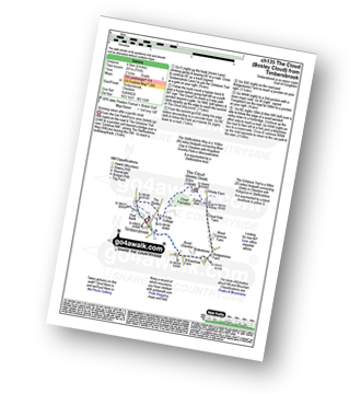
Walk ch135 The Cloud (Bosley Cloud) from Timbersbrook

Stunning views after a gentle climb

Download GPS Waypoint Data for walk ch135
Download GPX Waypoint Data for walk ch135
Download Map and Route Details for walk ch135

Vital Statistics:

Length:4 miles (6.5 km)
Ascent:791ft (241m)
Time:2.25hrs
Grade:Grade 3 Walking Easy
Walk 4 Walking Bootprint Icon

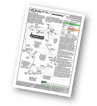
Walk ch104 Croker Hill from The Hanging Gate

Fabulous views

Download GPS Waypoint Data for walk ch104
Download GPX Waypoint Data for walk ch104
Download Map and Route Details for walk ch104

Vital Statistics:

Length:8.5 miles (13.5 km)
Ascent:1,690ft (515m)
Time:4.75hrs
Grade:Grade 5 Walking Moderate
Walk 5 Walking Bootprint Icon

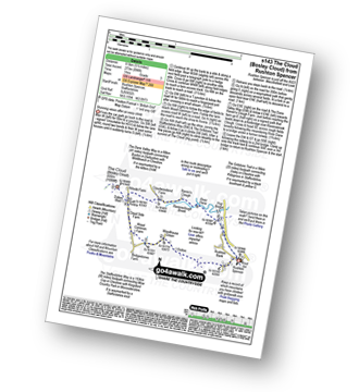
Walk s143 The Cloud (Bosley Cloud) from Rushton Spencer

Stunning views after an easy climb

Download GPS Waypoint Data for walk s143
Download GPX Waypoint Data for walk s143
Download Map and Route Details for walk s143

Vital Statistics:

Length:5.5 miles (8.5 km)
Ascent:896ft (273m)
Time:3 hrs
Grade:Grade 3 Walking Easy
Walk 6 Walking Bootprint Icon

Walk ch101 Shutlingsloe and Wildboarclough from Ridgegate Reservoir

The 'Cheshire Matterhorn' - varied walking with one steep ascent

Download GPS Waypoint Data for walk ch101
Download GPX Waypoint Data for walk ch101
Download Map and Route Details for walk ch101

Vital Statistics:

Length:7.25 miles (11.5 km)
Ascent:1,598ft (487m)
Time:4.25hrs
Grade:Grade 5 Walking Moderate
Walk 7 Walking Bootprint Icon

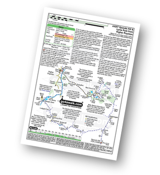
Walk ch207 Sponds Hill and Lyme Park from Higher Poynton

Superb Cheshire views and a Stately Home

Download GPS Waypoint Data for walk ch207
Download GPX Waypoint Data for walk ch207
Download Map and Route Details for walk ch207

Vital Statistics:

Length:9.75 miles (15.5 km)
Ascent:9ft (409m)
Time:5 hrs
Grade:Grade 5 Walking Moderate
Walk 8 Walking Bootprint Icon

Walk ch310 West Parkgate, Sponds Hill and The Cage from Lyme Park Country Park

Superb Cheshire views & a Stately Home

Download GPS Waypoint Data for walk ch310
Download GPX Waypoint Data for walk ch310
Download Map and Route Details for walk ch310

Vital Statistics:

Length:7.25 miles (11.5 km)
Ascent:1,201ft (366m)
Time:3.75hrs
Grade:Grade 4 Walking Moderate
Walk 9 Walking Bootprint Icon

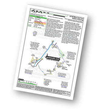
Walk ch145 Mow Cop from Ackers Crossing

Quiet countryside and a castle/folly

Download GPS Waypoint Data for walk ch145
Download GPX Waypoint Data for walk ch145
Download Map and Route Details for walk ch145

Vital Statistics:

Length:5.5 miles (9 km)
Ascent:689ft (215m)
Time:2.75hrs
Grade:Grade 3 Walking Easy
Walk 10 Walking Bootprint Icon

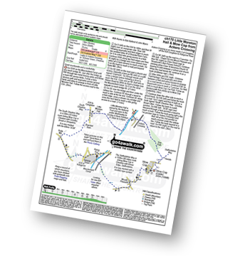
Walk ch170 Little Moreton Hall and Mow Cop from Ackers Crossing

Quiet countryside and a castle/folly

Download GPS Waypoint Data for walk ch170
Download GPX Waypoint Data for walk ch170
Download Map and Route Details for walk ch170

Vital Statistics:

Length:8.25 miles (13 km)
Ascent:804ft (245m)
Time:3.75hrs
Grade:Grade 4 Walking Moderate

See this list of walks, routes & maps in:

Grade Order | Length Order | Time Order | Walk Number or Start Location Order
NB. To reverse (toggle) this order, click Start Order again


Follow go4awalk.com on Twitter Follow go4awalk.com on Facebook


Home


Find new Friends to go walking with

Walk all 214 Wainwrights in just 59 Walks. Download GPS Waypoints - Great Walks you must not miss!

Walk The Yorkshire Three Peaks Challenge Walk - All the Latest Route Information, GPS Waypoints and Split Times to keep you on Schedule

Walk The British Three Peaks Challenge Walk - All the Latest Route Information and GPS Waypoints

See our pick of The Best Walks in The Lake District - Great Walks you must not miss!

Walk our pick of the Best Lake District Ridge Walks - Great Walks you must not miss!

Walk our pick of the Best Lake District Walks to do in the rain - Great Walks you must not miss!

Walk our pick of The Best Walks in Snowdonia - Great Walks you must not miss!

Walk our pick of The Best Ridge Walks in Wales - Walks you must not miss!

Walk our pick of The Best Walks in The Brecon Beacons - Great Walks you must not miss!

Walk our pick of The Best Walks in The Yorkshire Dales - Walks you must not miss!

Walk our pick of The Best Walks in The Peak District - Walks you must not miss!

Walk our pick of The Best Walks in The Forest of Bowland - Walks you must not miss!

Walk our pick of The Best Walks in Shropshire - Walks you must not miss!

Walk our pick of The Best Walks in Cheshire - Walks you must not miss!

Walk our pick of The Best Walks in Lancashire - Walks you must not miss!

Not sure where to walk next? Try Peak Bagging - Great Walks you must not miss!

Not sure where to walk next? Walk part of a National Trail - Great Walks you must not miss!

Walks with Downloadable and Uploadable GPS Waypoint Data

Walking Kit and Gear Tested by Walkers

Full Site Search
Do not miss our pick of the Best Walks in Britain