Walk ch170 Little Moreton Hall and Mow Cop from Ackers Crossing

This 8¼ mile, Grade 4 (Moderate), easy-to-follow, hand-crafted walk, complete with GPS Waypoints, starts at Ackers Crossing & will take you about 3¾ hrs to complete.
Download Walk PDF Icon
Download GPX Track Icon
Download GPS Waypoints Icon

Download Walk c312 Route Map

Detailed walk route map PDF
complete with GPS Waypoints

Vital Statistics:

Length: 7 miles (11km)
Ascent: 2,373ft (723m)
Time: 5hrs
Grade: Walk Grade 5 (Moderate) Icon
Walk Type: High Mountains
Start: Cow Bridge Car Park*
Grid Ref: NY403134
Sat Nav: N54.5122   W2.9241
What3words: scarecrow.generals.fire
Postcode: CA11 0NS‡
Car Park Fee: Pay and display. Free parking for National Trust members
Car Park Size: Small. Only room for 22 well-parked cars
Location: On the A592 between Hartsop and Patterdale
Stiles: None
Dogs: Permitted under close control
Terrain: Good paths in the valley, thin mountain paths higher up
Gear Needed: Full mountain gear including boots, warm layers, waterproofs, food & water, and good weather


Route outline for this walk:


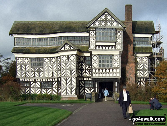
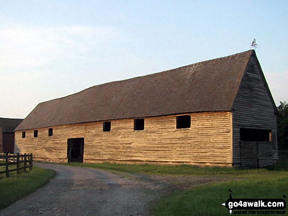
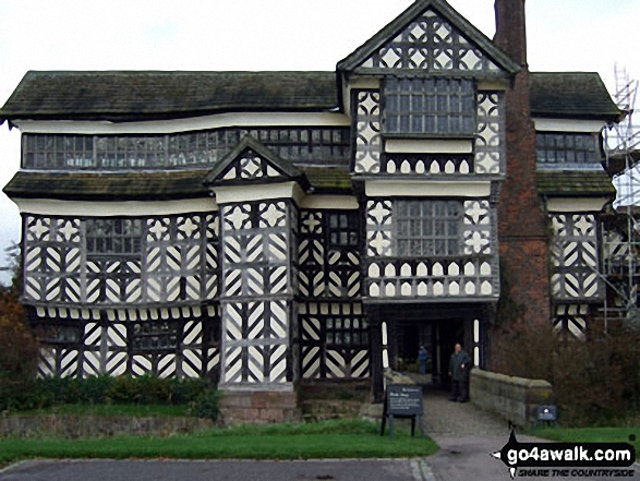
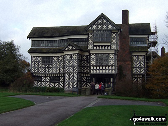
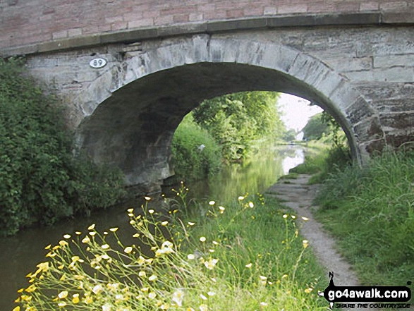
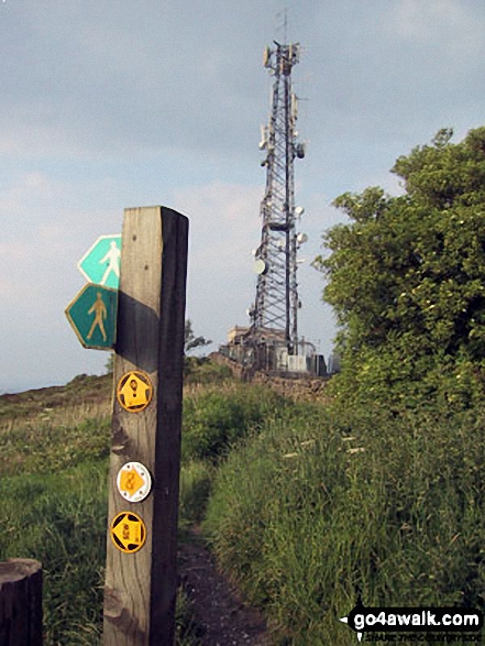
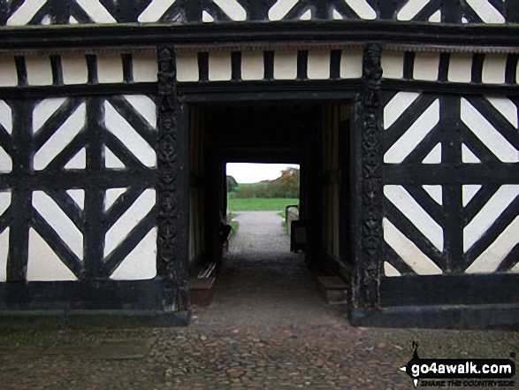
Ackers Crossing  -  The Macclesfield Canal  -  The Cheshire Ring Canal Walk  -  Little Moreton Hall  -  Boarded Barn Farm  -  Rode Mill  -  Claphatches  -  Scholar Green  -  Mount Pleasant  -  Mow Cop (Old Man of Mow)  -  The Gritstone Trail  -  The Staffordshire Way  -  The South Cheshire Way  -  Quarry Wood  -  Hanging Wood  -  Roe Park  -  Ackers Crossing


Peaks, Summits and Tops reached on this walk:

Hewitt Icon
0
English
Mountains
Wainwright Icon
0
Wainwrights
English Nuttall Icon
0
English
Nuttalls
Dewey Icon
0
English
Deweys
Wainwright Outlying Fell Icon
0
Wainwright
Outlying Fells
Marilyn Icon
0
Marilyns
Bridget Icon
1
Bridget

Peak Bagging Statistics for this walk:

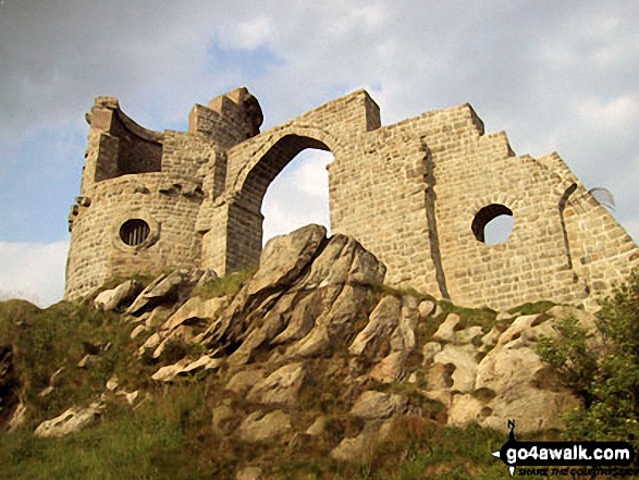
The highest point of this walk is Mow Cop (Old Man of Mow) at 335m (1099ft). Mow Cop (Old Man of Mow) is known as an English Bridget. The summit of Mow Cop (Old Man of Mow) is marked by an Ordnance Survey Trig Point.

National Trails & Long Paths included on this walk:

Part of this walk follows a section of The Cheshire Ring Canal Walk, a 158km (98 miles) circular footpath starting and finishing in Marple in Greater Manchester, England.

The canals that form the Cheshire Ring Canal Walk are (anticlockwise from Marple): The Peak Forest Canal, The Ashton and Rochdale Canals to Castlefield, Manchester, The Bridgewater Canal to Preston Brook, The Trent and Mersey Canal to Hardings Wood Junction near Kidsgrove and The Macclesfield Canal back to Marple.

The Cheshire Ring Canal Walk is waymarked by a bridge & barge motif. For more walks that include a section of this trail see The Cheshire Ring Canal Walk.

Part of this walk also follows a section of The Gritstone Trail, a 56km (35 miles) linear footpath connecting Disley in Cheshire, England with Kidsgrove in Staffordshire, England. The Gritstone Trail is waymarked by a black boot and a yellow G. For more walks that include a section of this trail see The Gritstone Trail.

Part of this walk also follows a section of The South Cheshire Way, a 53km (33 miles) linear footpath connecting Mow Cop in Cheshire, England with Grindley Brook in Staffordshire, England. The South Cheshire Way is waymarked by by the letters SCW. For more walks that include a section of this trail see The South Cheshire Way.

Part of this walk also follows a section of The Staffordshire Way, a 153km (95 miles) linear footpath connecting Mow Cop in Cheshire, England with Kinver Edge in Staffordshire, England. The Staffordshire Way is waymarked by a knotted rope motif. For more walks that include a section of this trail see The Staffordshire Way.


You can find this walk and other nearby walks on these unique Interactive Walk Planning Maps:

(worth a look if you're new to go4awalk.com & have never seen one of these before.)


1:25,000 scale OS Explorer Map (orange/yellow covers):

OS Explorer 268 Wilmslow, Macclesfield & Congleton, Altrincham, Knutsford & Sandbach


1:50,000 scale OS Landranger Map (pink/magenta covers):

OS Landranger 118 Stoke-on-Trent & Macclesfield


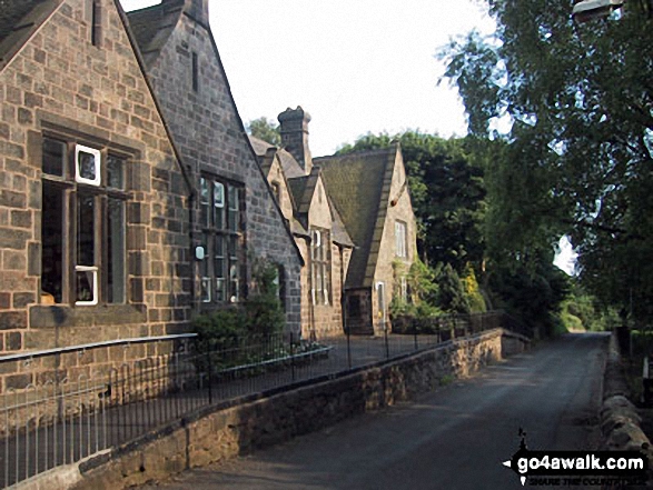
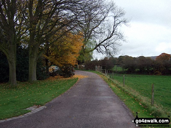
Some Photos and Pictures from Walk ch170 Little Moreton Hall and Mow Cop from Ackers Crossing

In no particular order . . .
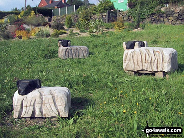
The Gritstone Trail at Mow Cop (Old Man of Mow)

The Gritstone Trail at Mow Cop (Old Man of Mow)

Photo: Clare Nickson (5)

Little Moreton Hall entrance drive in autumn

Little Moreton Hall entrance drive in autumn

Photo: Terry Howard (6)

The Macclesfield Canal near Scholar Green

The Macclesfield Canal near Scholar Green

Photo: Clare Nickson (1)

On the summit of Mow Cop (Old Man of Mow)

On the summit of Mow Cop (Old Man of Mow)

Photo: Clare Nickson (8)

Wooden Sheep, Scholar Green

Wooden Sheep, Scholar Green

Photo: Clare Nickson (3)

Mow Cop (Old Man of Mow) summit ruin

Mow Cop (Old Man of Mow) summit ruin

Photo: Clare Nickson (9)

Wooden Sheep, Scholar Green

Wooden Sheep, Scholar Green

Photo: Clare Nickson (2)

Mow Cop (Old Man of Mow)

Mow Cop (Old Man of Mow)

Photo: Clare Nickson (6)

Little Moreton Hall

Little Moreton Hall

Photo: Denise Garrett (1)

Little Moreton Hall

Little Moreton Hall

Photo: Terry Howard (2)


. . . load all 21 pictures & photos from this walk


Send us your photographs and pictures from your walks and hikes

Send them in to us as email attachments (configured for any computer) along with your name/username and where the picture was taken to:

and we shall do our best to publish them.

(Guide Resolution = 300dpi. At least = 660 pixels (wide) x 440 pixels (high).)

Facebook Logo

You can also submit photos via our Facebook Page.

NB. Please indicate where each photo was taken so we can match it to a walk route.


If you would grow great and stately, you must try to walk sedately - Robert Louis Stevenson: 1850-1894
Follow go4awalk.com on Twitter Follow go4awalk.com on Facebook


Find new Friends to go walking with

Walk all 214 Wainwrights in just 59 Walks. Download GPS Waypoints - Great Walks you must not miss!

Walk The Yorkshire Three Peaks Challenge Walk - All the Latest Route Information, GPS Waypoints and Split Times to keep you on Schedule

Walk The British Three Peaks Challenge Walk - All the Latest Route Information and GPS Waypoints

See our pick of The Best Walks in The Lake District - Great Walks you must not miss!

Walk our pick of the Best Lake District Ridge Walks - Great Walks you must not miss!

Walk our pick of the Best Lake District Walks to do in the rain - Great Walks you must not miss!

Walk our pick of The Best Walks in Snowdonia - Great Walks you must not miss!

Walk our pick of The Best Ridge Walks in Wales - Walks you must not miss!

Walk our pick of The Best Walks in The Brecon Beacons - Great Walks you must not miss!

Walk our pick of The Best Walks in The Yorkshire Dales - Walks you must not miss!

Walk our pick of The Best Walks in The Peak District - Walks you must not miss!

Walk our pick of The Best Walks in The Forest of Bowland - Walks you must not miss!

Walk our pick of The Best Walks in Shropshire - Walks you must not miss!

Walk our pick of The Best Walks in Cheshire - Walks you must not miss!

Walk our pick of The Best Walks in Lancashire - Walks you must not miss!

Not sure where to walk next? Try Peak Bagging - Great Walks you must not miss!

Not sure where to walk next? Walk part of a National Trail - Great Walks you must not miss!

Walks with Downloadable and Uploadable GPS Waypoint Data

Walking Kit and Gear Tested by Walkers

Full Site Search
Subscribe and Log On to hide external ads