   |
Vital Statistics:
| Length: | 9mls (14.5km) |
| Ascent: | 1,208ft (368m) |
| Time: | 4½hrs |
| Grade: |  |

Route outline for walk ch108:
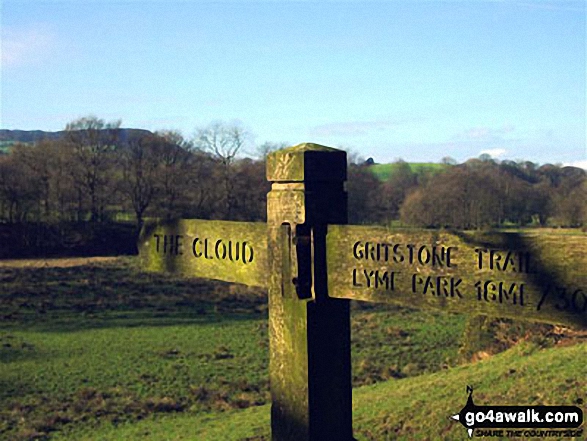
Timbersbrook - The Gritstone Trail - Pool Bank - The Staffordshire Way - Folly Cottage - Cloud Plantation - The Cloud (Bosley Cloud) - Avona - The Dane Valley Way - River Dane - The Macclesfield Canal - The Cheshire Ring Canal Walk - Buglawton - Brook House Farm - Pool Bank - Timbersbrook
Peaks, Summits and Tops reached on this walk:
 0 English Mountains |
 0 Wainwrights |
 0 English Nuttalls |
 0 English Deweys |
 0 Wainwright Outlying Fells |
 1 Marilyn |
 0 Bridgets |
Peak Bagging Statistics for this walk:
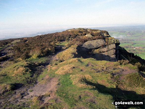
The highest point of this walk is The Cloud (Bosley Cloud) at 343m (1125ft). The Cloud (Bosley Cloud) is classified as an English Marilyn (110th highest in England, 1309th highest in the UK). The summit of The Cloud (Bosley Cloud) is marked by an Ordnance Survey Trig Point.
National Trails & Long Paths included on this walk:
Part of this walk follows a section of The Cheshire Ring Canal Walk, a 158km (98 miles) circular footpath starting and finishing in Marple in Greater Manchester, England.
The canals that form the Cheshire Ring Canal Walk are (anticlockwise from Marple): The Peak Forest Canal, The Ashton and Rochdale Canals to Castlefield, Manchester, The Bridgewater Canal to Preston Brook, The Trent and Mersey Canal to Hardings Wood Junction near Kidsgrove and The Macclesfield Canal back to Marple.
The Cheshire Ring Canal Walk is waymarked by a bridge & barge motif. For more walks that include a section of this trail see The Cheshire Ring Canal Walk.Part of this walk also follows a section of The Dane Valley Way, a 66km (41 miles) linear footpath connecting Buxton in Derbyshire, with Middlewich in Cheshire, England. The Dane Valley Way is waymarked by the letters DVW. For more walks that include a section of this trail see The Dane Valley Way.
Part of this walk also follows a section of The Gritstone Trail, a 56km (35 miles) linear footpath connecting Disley in Cheshire, England with Kidsgrove in Staffordshire, England. The Gritstone Trail is waymarked by a black boot and a yellow G. For more walks that include a section of this trail see The Gritstone Trail.
Part of this walk also follows a section of The Staffordshire Way, a 153km (95 miles) linear footpath connecting Mow Cop in Cheshire, England with Kinver Edge in Staffordshire, England. The Staffordshire Way is waymarked by a knotted rope motif. For more walks that include a section of this trail see The Staffordshire Way.
You can find this walk and other nearby walks on these unique free-to-access Interactive Walk Planning Maps:
1:25,000 scale OS Explorer Map (orange/yellow covers):
1:50,000 scale OS Landranger Map (pink/magenta covers):
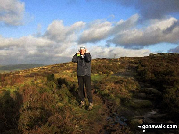
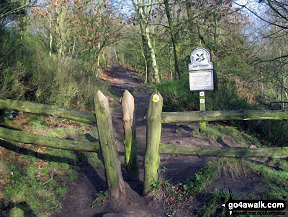
Some Photos and Pictures from Walk ch108 The Cloud (Bosley Cloud) and The Macclesfield Canal from Timbersbrook
In no particular order . . .


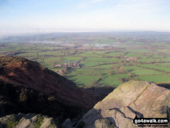

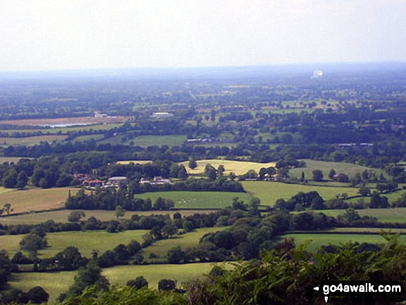
Jodrell Bank and The Cheshire Plain from the summit of The Cloud (Bosley Cloud)
Send us your photographs and pictures from your walks and hikes
We would love to see your photographs and pictures from walk ch108 The Cloud (Bosley Cloud) and The Macclesfield Canal from Timbersbrook. Send them in to us as email attachments (configured for any computer) along with your name and where the picture was taken to:
and we shall do our best to publish them.
(Guide Resolution = 300dpi. At least = 660 pixels (wide) x 440 pixels (high).)

You can also submit photos from walk ch108 The Cloud (Bosley Cloud) and The Macclesfield Canal from Timbersbrook via our Facebook Page.
NB. Please indicate where each photo was taken.


