8 easy to follow walk route maps of all grades that include part of The Longdendale Trail

The Longdendale Trail is an 11km (7 miles) linear footpath connecting Hadfield in Derbyshire, England with Salter's Brook on the border with West Yorkshire, England.

The Longdendale Trail also forms part of the Trans Pennine Trail that runs coast to coast across the UK from Southport in Merseyside to Hornsea in The East Riding of Yorkshire.

The Longdendale Trail follows part of the former Great Central Railway. This line from Manchester to Sheffield Railway was also known as 'The Woodhead Route'. It passed through the picturesque Longdendale valley which includes five reservoirs surrounded by high moorland. The reservoirs were completed in 1877 & were, at the time, the largest artificial expanse of water in the world. The line itself was closed in 1981 amid much controversy.

The Longdendale Trail is waymarked by named discs.


See this list of walks, routes & maps in:

Grade Order | Length Order | Time Order | Walk Number or Start Location Order
NB. To reverse (toggle) this order, click Length Order again


Walk 1 Walking Bootprint Icon

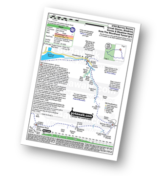
Walk d164 Barrow Stones, Grinah Stones, Bleaklow Stones and Bleaklow Head (Bleaklow Hill) from Woodhead

High remote moorland - glorious

Download GPS Waypoint Data for walk d164
Download GPX Waypoint Data for walk d164
Download Map and Route Details for walk d164

Vital Statistics:

Length:13.25 miles (21 km)
Ascent:2,081ft (634m)
Time:7 hrs
Grade:Grade 7 Walking Hard
Walk 2 Walking Bootprint Icon

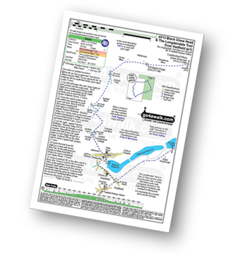
Walk d213 Black Chew Head (Laddow Rocks) and The Longdenden Trail from Hadfield

Fine views on isolated moorland

Download GPS Waypoint Data for walk d213
Download GPX Waypoint Data for walk d213
Download Map and Route Details for walk d213

Vital Statistics:

Length:12.5 miles (20 km)
Ascent:2,143ft (653m)
Time:6.75hrs
Grade:Grade 7 Walking Hard
Walk 3 Walking Bootprint Icon

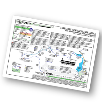
Walk sy125 Dead Edge End, Britland Edge Hill and Snailsden from Winscar Reservoir, Dunford Bridge

Wild walk to excellent 360� views

Download GPS Waypoint Data for walk sy125
Download GPX Waypoint Data for walk sy125
Download Map and Route Details for walk sy125

Vital Statistics:

Length:12 miles (19 km)
Ascent:1,365ft (416m)
Time:5.75hrs
Grade:Grade 6 Walking Moderate
Walk 4 Walking Bootprint Icon

Walk d266 Bleaklow Head (Bleaklow Hill) from Woodhead Tunnel

Superb gorge walk & high remote moorland

Download GPS Waypoint Data for walk d266
Download GPX Waypoint Data for walk d266
Download Map and Route Details for walk d266

Vital Statistics:

Length:10.5 miles (17 km)
Ascent:1,975ft (602m)
Time:5.75hrs
Grade:Grade 6 Walking Moderate
Walk 5 Walking Bootprint Icon

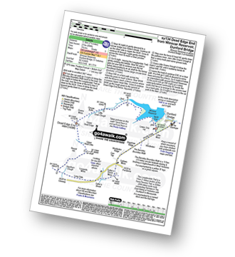
Walk sy134 Dead Edge End from Winscar Reservoir, Dunford Bridge

Wild walk to excellent 360° views

Download GPS Waypoint Data for walk sy134
Download GPX Waypoint Data for walk sy134
Download Map and Route Details for walk sy134

Vital Statistics:

Length:7.25 miles (11.5 km)
Ascent:896ft (273m)
Time:3.75hrs
Grade:Grade 5 Walking Moderate
Walk 6 Walking Bootprint Icon

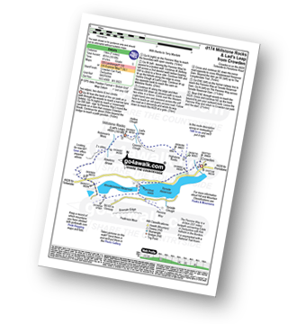
Walk d174 Millstone Rocks and Lad's Leap from Crowden

Two edges and two dams

Download GPS Waypoint Data for walk d174
Download GPX Waypoint Data for walk d174
Download Map and Route Details for walk d174

Vital Statistics:

Length:6.25 miles (10 km)
Ascent:1,610ft (491m)
Time:4 hrs
Grade:Grade 5 Walking Moderate
Walk 7 Walking Bootprint Icon

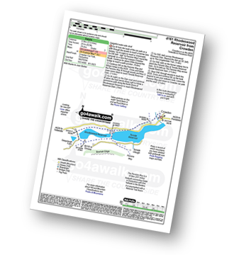
Walk d161 Rhodeswood Reservoir from Crowden

Delightful water-side stroll

Download GPS Waypoint Data for walk d161
Download GPX Waypoint Data for walk d161
Download Map and Route Details for walk d161

Vital Statistics:

Length:5.25 miles (8.5 km)
Ascent:823ft (251m)
Time:2.75hrs
Grade:Grade 3 Walking Easy
Walk 8 Walking Bootprint Icon

Walk sy112 South Nab from Winscar Reservoir, Dunford Bridge

Wild walk to huge 360° views

Download GPS Waypoint Data for walk sy112
Download GPX Waypoint Data for walk sy112
Download Map and Route Details for walk sy112

Vital Statistics:

Length:5.25 miles (8.5 km)
Ascent:817ft (249m)
Time:2.75hrs
Grade:Grade 3 Walking Easy

See this list of walks, routes & maps in:

Grade Order | Length Order | Time Order | Walk Number or Start Location Order
NB. To reverse (toggle) this order, click Length Order again


Follow go4awalk.com on Twitter Follow go4awalk.com on Facebook


Home


Find new Friends to go walking with

Walk all 214 Wainwrights in just 59 Walks. Download GPS Waypoints - Great Walks you must not miss!

Walk The Yorkshire Three Peaks Challenge Walk - All the Latest Route Information, GPS Waypoints and Split Times to keep you on Schedule

Walk The British Three Peaks Challenge Walk - All the Latest Route Information and GPS Waypoints

See our pick of The Best Walks in The Lake District - Great Walks you must not miss!

Walk our pick of the Best Lake District Ridge Walks - Great Walks you must not miss!

Walk our pick of the Best Lake District Walks to do in the rain - Great Walks you must not miss!

Walk our pick of The Best Walks in Snowdonia - Great Walks you must not miss!

Walk our pick of The Best Ridge Walks in Wales - Walks you must not miss!

Walk our pick of The Best Walks in The Brecon Beacons - Great Walks you must not miss!

Walk our pick of The Best Walks in The Yorkshire Dales - Walks you must not miss!

Walk our pick of The Best Walks in The Peak District - Walks you must not miss!

Walk our pick of The Best Walks in The Forest of Bowland - Walks you must not miss!

Walk our pick of The Best Walks in Shropshire - Walks you must not miss!

Walk our pick of The Best Walks in Cheshire - Walks you must not miss!

Walk our pick of The Best Walks in Lancashire - Walks you must not miss!

Not sure where to walk next? Try Peak Bagging - Great Walks you must not miss!

Not sure where to walk next? Walk part of a National Trail - Great Walks you must not miss!

Walks with Downloadable and Uploadable GPS Waypoint Data

Walking Kit and Gear Tested by Walkers

Full Site Search
Do not miss our pick of the Best Walks in Britain