87 easy-to-follow walk, route maps of all grades on OS Explorer Map OL1 The Peak District - Dark Peak area
Eighty-seven easy-to-follow walk, route maps of all grades on OS Explorer Map OL1 The Peak District - Dark Peak area in Walk Grade OrderTap/mouse over a coloured circle (1-3 easy walks, 4-6 moderate walks, 7-9 hard walks) and click to select.
You can use these checkboxes to show only the grades of walk you are interested in:-
Eighty-seven easy-to-follow walk, route maps of all grades on OS Explorer Map OL1 The Peak District - Dark Peak area in Walk Grade Order
Scroll down the list of walks below & click on each walk title (in blue) to locate it on the map above.
See this list of walks, routes & maps in:
Grade Order | Length Order | Time Order | Walk Number or Start Location Order
NB. To reverse (toggle) this order, click Grade Order again
Route Summary:
Nelson Pit Visitors Centre - Higher Poynton - The Macclesfield Canal - The Cheshire Ring Canal Walk - Wood Lanes - Adlington Basin - Lockgate Farm - The North Cheshire Way - Harrop Brow - Birchencliff Farm - Keeper's Cottage - Dale Top - Sponds Moor - The Gritstone Trail - Sponds Hill - Bowstonegate Farm - Bow Stones - Higher Moor - Lyme Park Country Park - Lantern Wood - The Cage - Lyme Hall - Fallow Deer Park - The Lime Avenue - Lyme Park Car Park - Windgather Farm - Haresteads Farm - Nelson Pit Visitors Centre - Higher Poynton.
Route Summary:
Nelson Pit Visitors Centre - Higher Poynton - The Macclesfield Canal - The Cheshire Ring Canal Walk - Wood Lanes - Adlington Basin - Lockgate Farm - The North Cheshire Way - Harrop Brow - West Parkgate - Lyme Park Country Park - Lyme Park Car Park - The Cage - Lyme Hall - Fallow Deer Park - The Lime Avenue - Lyme Park Car Park - Windgather Farm - Haresteads Farm - Nelson Pit Visitors Centre - Higher Poynton.
Route Summary:
Lyme Park Car Park - Lyme Park Country Park - Pursefield Wood - Paddock Cottage,Knightslow Wood, - Higher Moor - Lantern Wood - The Cage - The North Cheshire Way - Lyme Hall - Lyme Park Car Park
Route Summary:
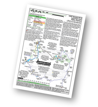
Lyme Park Car Park - Crow Wood - Hase Bank Wood - West Parkgate - The North Cheshire Way - Keepers' Cottage - Dale Top - Sponds Moor - The Gritstone Trail - Sponds Hill - Bow Stones - Bowstonegate Farm - Lyme Park Country Park - Lantern Wood - The Cage - Fallow Deer Park - The Lime Avenue - Lyme Park Car Park
Route Summary:
Grindleford Station - Padley Gorge - Lawrence Field - Toad's Mouth - Hathersage Moor - Carl Wark - Higger Tor - Fiddler's Elbow - Upper Burbage Bridge - Burbage Moor - Burbage Rocks - Longshaw Country Park - Sheffield Plantation - Nether Padley - Oaks Wood - Grindleford Station
Route Summary:
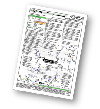
Strines Station - Lower Cliffe Cottage - Higher Banks Cottage - Cobden Edge - Mellor Moor - Mellor - Mellor Church - Hilltop Farm - Shiloh Hall Farm - Ringstones Farm - Ayton Farm - Rowarth - Thornsett Fields Farm - New Mills - Whitle - Brook Bottom - The Goyt Way - The Midshires Way - Strines Station
Route Summary:
Crowden - The Pennine Way - Torside Reservoir - Rhodeswood Reservoir - Higher Deepclough - Devil's Elbow - Ogden Clough - Nell's Pike - Bramah Edge - Peaknaze Moor - The Pennine Way - Torside Reservoir - Crowden
Route Summary:
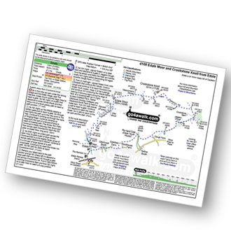
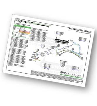
Edale - The Nab - Ringing Roger - Edale Moor (Kinder Scout) - Madwoman's Stones - Crookstone Knoll (Kinder Scout) - Crookstone Hill - Hope Cross - Jaggers Clough - Backside Wood - Nether Moor - Lady Booth Brook - Rowland Cote (Edale Youth Hostel) - Ollerbrook Booth - The Vale of Edale - Edale
Route Summary:
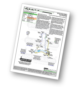
Hayfield - Sett Valley Trail - Birch Vale - The River Sett - The Pennine Bridleway - Lantern Pike - Hey Wood - Little Hayfield - Sett Valley Trail - Hayfield
Route Summary:
Ladybower Reservoir - Fairholmes Car Park - Derwent Reservoir - Howden Reservoir - Fagney Clough - Ridgewalk Moor - Barrow Stones - Bleaklow Stones (Bleaklow Hill) - Alport Moor - West End Moor - Birchin Hat - Alport Castles - Rowlee Pasture - Lockerbrook Heights - Lockerbrook Farm - Fairholmes Car Park - Ladybower Reservoir
Route Summary:
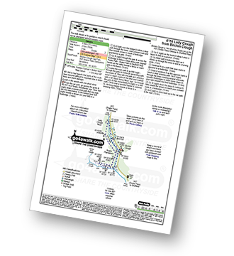
Birchin Clough - (A57 Snake Pass) - Lady Clough - River Ashop - Saukin Ridge - Black Ashop Moor - Snake Plantations - Lady Clough Moor - Lady Clough - Lady Clough Bridge - Birchin Clough - (A57 Snake Pass).
Route Summary:
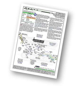
Bradwell - Bradwell Hills - Bradwell Edge - Robin Hood's Cross - Bleak Knoll (Abney Moor) - Durham Edge (Abney Moor) - Abney Moor - Wolf's Pit - Burton Bole End (Abney Moor) - Smelting Hill - Oaks Farm - Mill Wood - Stoke Ford - Highlow Brook - Abney Clough - Abney - Abney Moor - Bradwell
Route Summary:
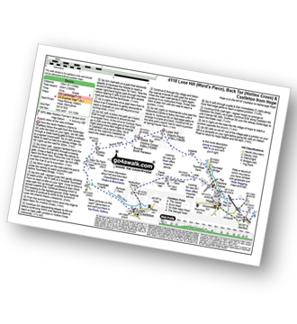
Hope - Townhead Bridge - Losehill End - Lose Hill (Ward's Piece) - Back Tor (Hollins Cross) - Barker Bank - Hollins Cross - Mam Tor Farm - Knowlgate Farm - Odin Sitch - Castleton - Hollowford Centre - Spring House Farm - Hope
Route Summary:
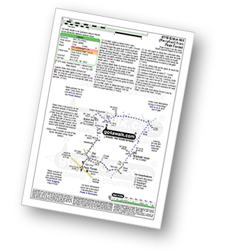
Peak Forest - Old Dam - Sweet Knoll Farm - Eldon Hole - Eldon Hill (Perryfoot) - Eldon Hill Quarries - The Limestone Way - Old Moor - Bradwell Moor - The Cop - West View - Old Dam - Peak Forest
Route Summary:
Ashopton Bridge - Ladybower Reservoir - Ashopton - Whinstone Lee Tor - Hurkling Stones - Wheel Stones - White Tor (Derwent Edge) - Salt Cellar (Boulder) - Derwent Edge - Dove Stone (Boulder) - Dovestones Tor - Cakes of Bread - Bradfield Gate Head - Back Tor (Derwent Edge) - Lost Lad - Bamford House - Little Howden Moor - Derwent Reservoir - Derwent Valley - Ladybower Reservoir - Ashopton Bridge..
Route Summary:
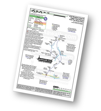
Snake Pass - (A57) - The Pennine Way - Bleaklow Head (Bleaklow Hill) - The The Wain Stones (or Kissing Stones) - Higher Shelf Stones - A57 Snake Pass.
Route Summary:
Castleton - The Limestone Way - Peveril Castle - Cave Dale - Old Moor - Rowter Farm - Windy Knoll - Mam Tor - Hollins Cross - Backtor Nook - Castleton
Route Summary:
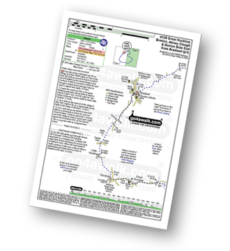
Bradwell - Jennings Dale - Little Hucklow - Windmill - Great Hucklow - Bretton - Bretton Moor - Bretton Brook - Stoke Ford - Oaks Farm - Smelting Hill - Abney Moor - Burton Bole End (Abney Moor) - Wolf's Pit - Shatton Edge - Shatton Hope Valley - Townfield Barn - Elmore Hill Farm - Bothams Farm - Bradwell
Route Summary:
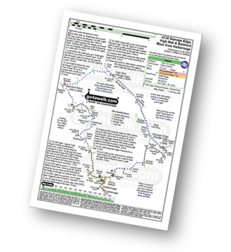
Hathersage - Hathersage Pinfold - Toothill Farm - Hookcar Sitch - Overstones Farm - Cowper Stone - Stanage Edge (Stanage Edge) - Hook's Car - White Path Moss - Robin Hood's Cave - Stanage Plantation - Long Causeway - Stanage Edge - High Neb (Stanage Edge) - Crow Chin - Moscar Moor - Bamford Moor - Upper Hurst Brook - Bole Hill (Bamford) - Bolehill Wood - Upper Hurst Farm - Gatehouse Farm - Hurstclough Lane - Nether Hurst Farm - Coggers Lane - Hathersage
Route Summary:
Birchin Clough - A57 Snake Pass - Lady Clough - River Ashop - Rough Bank - Fair Brook - Kinder Scout - Edale Moor - Kinder Plateau - Kinder Downfall - The Pennine Way - The Edge (Kinder Scout) - Ashop Head - Mill Hill (Ashop Head) - Black Ashop Moor - Within Clough - Red Clough - Upper Gate Clough - Ashop Clough - Birchin Clough
Route Summary:
Ladybower Reservoir - Bridge End Car Park - Ridges Coppice - Hagg Side - Open Hagg - Longley Bank - Bridge-end Pasture - Crook Hill (Ladybower) - Crook Hill (Ladybower) (South Top) - Crookhill Farm - Ladybower Reservoir - Hurst Clough Car Park - Bridge End Car Park.
Route Summary:
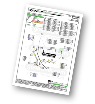
Yorkshire Bridge - Parkin Clough - Winhill Plantation - Winhill Pike (Win Hill) - Twitchill Farm - Fullwood Stile Farm - Roman Road - Hope Cross - Ladybower Reservoir - Wiseman Hey Clough Plantation - Yorkshire Bridge
Route Summary:
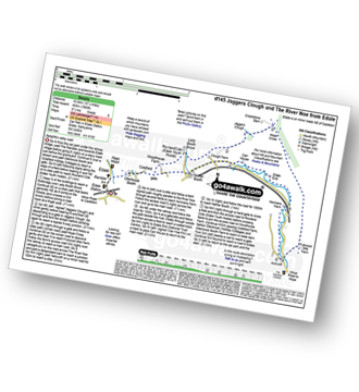
Edale - Ollerbrook Booth - Rowland Cote (Edale Youth Hostel) - Lady Booth Brook - Nether Moor - Backside Wood - Jaggers Clough - Hope Cross - Fulwood Stile Farm. Hope - The River Noe - Normans Farm - Edale End - Carr House - Nether Booth - Ollerbrook Booth - The Vale of Edale - Edale
Route Summary:
Hayfield - Sett Valley Trail - Birch Vale - Morland Road - Ollersett - New Allotments - Chinley Churn - Cracken Edge - Chinley - Vorposten - Hayfield
Route Summary:
Bradwell - Bradwell Hills - Bradwell Edge - Robin Hood's Cross - Bleak Knoll (Abney Moor) - Durham Edge (Abney Moor) - Abney Moor - Abney Grange - Bretton Brook - Great Hucklow - Windmill - High Rake Mine - High Rake - Tideslow Rake - Tides Low - New Farm - Tideswell Moor - Bradwell Moor - Old Moor - Potter Barn - Smalldale Hall - Bradwell
Route Summary:
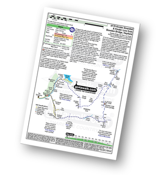
Bowden Bridge - Hayfield - Booth Sheepwash - Farlands - Broad Clough - Kinderlow End - Three Knolls - Cluther Rocks - Red Brook - The Pennine Way - Kinder Downfall - Kinder Low (Kinder Scout) - Brown Knoll (Edale) - South Head (Hayfield) - Mount Famine - Elle Bank - The Pennine Bridleway - Tunstead House - Hayfield
Route Summary:
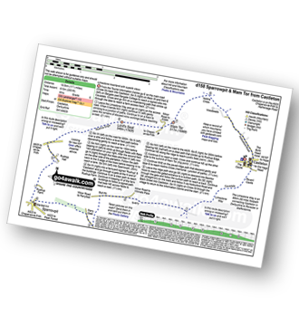
Castleton - The Limestone Way - Cave Dale - Perry Dale - Sparrowpit - Rushup Farm - Rushup Hall - Rushup Edge - Lord's Seat (Rushup Edge) - Mam Tor - Hollins Cross - Backtor Nook - Castleton
Route Summary:
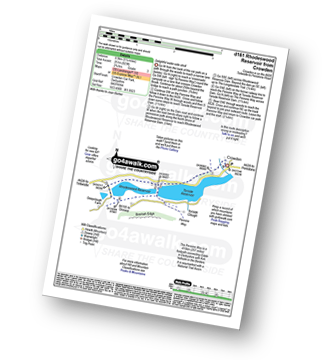
Crowden - The Pennine Way - Torside Reservoir - Rhodeswood Reservoir - The Longdendale Trail - The Pennine Way - Torside Reservoir - Crowden
Route Summary:
Edale - The Pennine Way - Upper Booth - Jacob's Ladder (Edale) - Brown Knoll (Edale) - Colborne (Colbourne) - Chapel Gate Track - Lord's Seat (Rushup Edge) - Mam Tor - Hollins Cross - Edale
Route Summary:
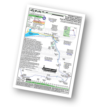
Woodhead Tunnel - Far Black Clough - Swains Head - Swains Greave - Barrow Stones - Grinah Stones - Bleaklow Stones (Bleaklow Hill) - Bleaklow Head (Bleaklow Hill) - The Wain Stones (or Kissing Stones) - The Pennine Way - Joseph Patch - John Track Well - Torside Clough - Peaknaze Moor - Reaps Farm - The Longdendale Trail - Torside Reservoir - Woodhead Reservoir - Woodhead Tunnel
Route Summary:
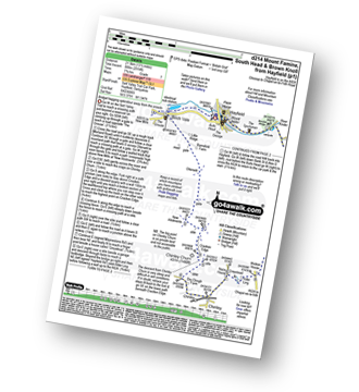
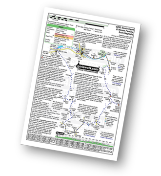
Slackhall - Chestnut Centre - Bowden Head Fold - Wash - Breckhead Farm - Dawsnap Farm - Bennett Barn - Bullhill Farm - Andrews Farm - Pennine Bridleway - Mount Famine - South Head (Hayfield) - Roych Clough - Bolehill Clough - Tom Moor Plantation - Breck Edge - Slackhall
Route Summary:
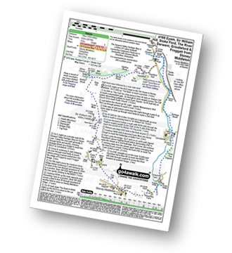
Stoney Middleton - The Cliff - Eyam - Sir William Hill - Eyam Moor - Bole Hill (Highlow) - Bretton Brook - Stoke Ford - Mill Wood - Brook Wood - Highlow Brook - Hazleford - Hazleford Hall - Leadmill - Leadmill Bridge - River Derwent - The Derwent Valley Heritage Way - Coppice Wood - Burbage Brook - Grindleford - Horse Hay Coppice - Derwent Farm - Froggatt Bridge - Knouchley Farm - Stoney Middleton
Route Summary:
Bowden Bridge - Hayfield - Booth Sheepwash - Farlands - Broad Clough - Kinderlow End - Three Knolls - Cluther Rocks - Red Brook - The Pennine Way - Kinder Downfall - Kinder Low (Kinder Scout) - Edale Cross - Oaken Clough - Coldwell Clough - Bowden Bridge - Hayfield
Route Summary:
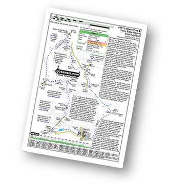
Hayfield - Sett Valley Trail - Birch Vale - The River Sett - The Pennine Bridleway - Lantern Pike - Rowarth - Cown Edge Rocks - Chunal Road (Glossop) - Hollingwood Clough - Middle Moor (Hayfield) - The Snake Path - Hayfield
Route Summary:
Old Glossop - Shittern Clough - Lightside - Yellow Slacks - Dog Rock - Dowstone Clough - Yellowslacks Brook - The Wain Stones (or Kissing Stones) - Bleaklow Head (Bleaklow Hill) - Higher Shelf Stones - Crooked Clough - The Pennine Way - Old Woman - Doctor's Gate Path - Shelf Brook - Moss Lea Farm - Old Glossop
Route Summary:
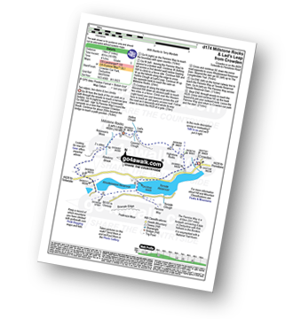
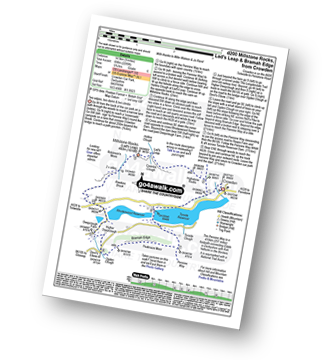
Crowden - The Pennine Way - Highstone Rocks - Lad's Leap - Millstone Rocks (Lad's Leap) - Rhodeswood Reservoir - The Longdendale Trail - The Pennine Way - Torside Reservoir - Crowden
Route Summary:
Birchin Clough - (A57 Snake Pass) - Lady Clough - River Ashop - Rough Bank - Fair Brook - Fairbrook Naze (Kinder Scout) - The Kinder Plateau - Edale Moor - The Edge (Kinder Scout) - The Pennine Way - Ashop Head - Mill Hill - Black Ashop Moor - Within Clough - Red Clough - Upper Gate Clough - Ashop Clough - Birchin Clough - (A57 Snake Pass).
Route Summary:
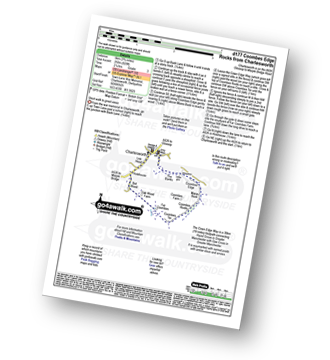
Charlesworth - The Banks - The Cown Edge Way - Coombes Edge - Coombes Rocks - Coombes Tor - Far Coombes - Oak Wood Farm - Bot Wood - Holehouse - Charlesworth
Route Summary:
Bowden Bridge - Hayfield - Booth Sheepwash - White Brow - Kinder Reservoir - Nab Brow - William Clough - Ashop Head - Mill Hill (Ashop Head) - The Pennine Way - Kinder Scout - The Edge (Kinder Scout) - Kinder Downfall - Red Brook - Cluther Rocks - Kinder Low (Kinder Scout) - Edale Cross - Kinderlow End - Oaken Clough - Tunstead House Farm - Bowden Bridge - Hayfield
Route Summary:
Crowden - The Pennine Way - Highstone Rocks - Lad's Leap - Millstone Rocks (Lad's Leap) - Rhodeswood Reservoir - Higher Deepclough - Devil's Elbow - Ogden Clough - Nell's Pike - Bramah Edge - Peaknaze Moor - The Pennine Way - Torside Reservoir - Crowden
Route Summary:
Birchin Clough - A57 Snake Pass - Lady Clough - River Ashop - Rough Bank - Fair Brook - Gate Side Clough - Wood Moor - Dunge Clough - The Wicken - Blackden Brook - Blackden Moor - Kinder Scout - Edale Moor - Kinder Plateau - Seal Edge - Seal Stones (Kinder Scout) - Fair Brook - Birchin Wood - Birchin Clough
Route Summary:
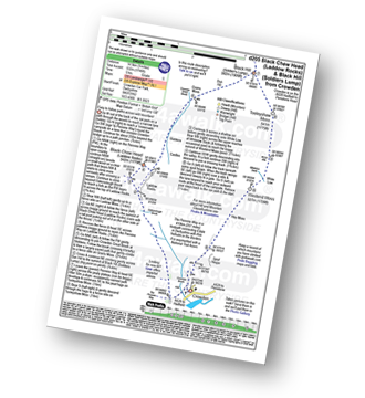
Crowden - Crowden Brook - The Pennine Way - Highstone Rocks - Span Gutter - Rakes Rocks - Oakenclough Brook - Laddow Moss - Black Chew Head (Laddow Rocks) - Near Broadslate - Sliddens - Dun Hill - Black Hill (Soldier's Lump) - Tooleyshaw Moss - Tooleyshaw Moor - White Low - Westend Moss - Hey Moss - Hey Edge - Crowden
Route Summary:
Hayfield - Sett Valley Trail Car Park - Valley Road - Bowden Bridge Car Park - Kinder Road - Kinder Reservoir - White Brow - Middle Moor (Hayfield) - Snake Path - Sett Valley Trail Car Park - Hayfield
Route Summary:
Ladybower Reservoir - Fairholmes Car Park - Lockerbrook Farm - Lockerbrook Heights - Rowlee Pasture - Alport Castles - River Alport - Alport Dale - Alport Farm - Hayridge Farm - Upper Ashop - Blackley Clough - Hagg Farm - Hagg Side - Fairholmes Car Park - Ladybower Reservoir
Route Summary:
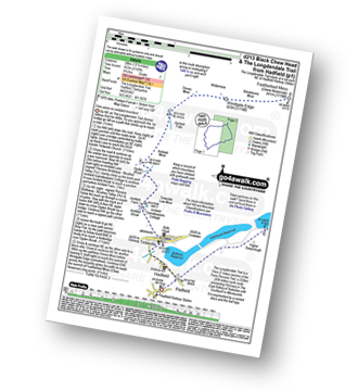
Hadfield - The Longdenden Trail - Tintwistle - Arnfield Gamekeepers Cottage - Arnfield Brook - Arnfield Farm - Tintwistle Low Moor - Ogden Brook - Arnfield Moor - Arnfield Flats - Ormes Moor - Wilderness - Windgate Edge - Blindstones Moor - Featherbed Moss (Chew Reservoir) - Laddow Moss - Black Chew Head (Laddow Rocks) - The Pennine Way - Oakenclough Brook - Rakes Rocks - Highstone Rocks - Torside Reservoir - Rhodeswood Reservoir - The Longdendale Trail - Hadfield
Route Summary:
Hayfield - Sett Valley Trail - Birch Vale - Morland Road - Ollersett - New Allotments - Chinley Head - Mount Famine - South Head (Hayfield) - Brown Knoll (Edale) - Edale Cross - Oaken Clough - Coldwell Clough - Tunstead House - Bowden Bridge - Hayfield
Route Summary:
Edale - Ollerbrook Booth - Rowland Cote (Edale Youth Hostel) - Lady Brook Booth - Nether Moor - Backside Wood - Jaggers Clough - Edale End - Carr House - Nether Booth - Ollerbrook Booth - The Vale of Edale - Edale
Route Summary:
Bradwell - Bradwell Hills - Bradwell Edge - Robin Hood's Cross - Bleak Knoll (Abney Moor) - Durham Edge (Abney Moor) - Abney Moor - Abney Grange - Bretton Brook - Great Hucklow - Windmill - Little Hucklow - Coplow Dale - Intake Dale - Bradwell Dale - Bradwell
Route Summary:
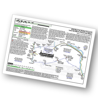
Edale - Small Clough - Hardenclough Farm - Greenlands - Hollins Cross - Back Tor (Hollins Cross) - Lose Hill (Ward's Piece) - Hope - The River Noe - Normans Farm - Edale End - Carr House - Nether Booth - Ollerbrook Booth - The Vale of Edale - Edale
Route Summary:
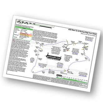
Edale - Small Clough - Hardenclough Farm - Greenlands - Mam Tor - Hollins Cross - Hollins - The Vale of Edale - Edale
Route Summary:
Old Glossop - Shittern Clough - Lightside - Yellow Slacks - Dowstone Clough - Dog Rock - Higher Shelf Stones - James's Thorn - Doctors Gate Path - Shelf Brook - Moss Lea Farm - Old Glossop
Route Summary:
Edale - The Pennine Way - Upper Booth - Jacob's Ladder (Edale) - Kinder Low (Kinder Scout) - Red Brook - Kinder Downfall - Kinder Scout - Edale Moor - Kinder Plateau - Crowden Head (Kinder Scout) - Grindslow Knoll (Kinder Scout) - Grindsbrook Clough - Grinds Brook - The Vale of Edale - Edale
Route Summary:
Edale - Upper Booth - Highfield Farm - Tagsnaze Farm - The Orchard Farm - Dalehead Bunkhouse - Whitemoor Clough - Chapel Gate (Track) - Rushupp Edge - Lord's Seat (Rushup Edge) - Mam Tor - Hollins Cross - Backtor Nook - Backtor Farm - Backtor Bridge - Woodhouse Farm - The Vale of Edale - Cotefield Farm - Ollerbrook Booth - Edale
Route Summary:
Bowden Bridge - Hayfield - Turnstead House - Coldwell Clough - Oaken Clough - Edale Cross - Brown Knoll (Edale) - South Head (Hayfield) - Mount Famine - Elle Bank - The Pennine Bridleway - Tunstead House - Bowden Bridge - Hayfield
Route Summary:
Ladybower Reservoir - Fairholmes Car Park - Ashopton - Whinstone Lee Tor - Hurkling Stones - Wheel Stones - White Tor (Derwent Edge) - Salt Cellar (Boulder) - Derwent Edge - Dove Stone (Boulder) - Dovestones Tor - Cakes of Bread - Bradfield Gate Head - Back Tor (Derwent Edge) - Lost Lad - Sheepfold Clough - Abbey Brook - Howden Dean - Abbey Tip Plantation - Derwent Reservoir - Fairholmes Car Park - Ladybower Reservoir
Route Summary:
Hayfield - Sett Valley Trail - Birch Vale - Morland Road - Ollersett - New Allotments - Cracken Edge - Chinley Churn - Chinley Head - Dry Clough Farm - Chinley - Naze House - Greystead - Alder Ling - Wicken House - Andrews Farm - South Head (Hayfield) - Mount Famine - Elle Bank - Pennine Bridleway - Tunstead House - Bowden Bridge - Hayfield
Route Summary:
Birchin Clough - (A57 Snake Pass) - Lady Clough - River Ashop - Rough Bank - Fair Brook - Seal Edge - Seal Stones (Kinder Scout) - Fairbrook Naze (Kinder Scout) - The Kinder Plateau - Edale Moor - The Edge (Kinder Scout) - The Pennine Way - Ashop Head - Mill Hill (Ashop Head) - Featherbed Top (Featherbed Moss) - A57 Snake Pass - Old Woman - Doctors Gate - Lady Clough - Birchin Clough - (A57 Snake Pass).
Route Summary:
Woodhead Tunnel - Middle Black Clough - Bleaklow Stones (Bleaklow Hill) - Bleaklow Head (Bleaklow Hill) - The Wain Stones (or Kissing Stones) - The Pennine Way - Clough Edge - The Longdendale Trail - Crowden - Woodhead Reservoir - Woodhead Tunnel
Route Summary:
Heatherdene Car Park - Ladybower Reservoir - Yorkshire Bridge - Parkin Clough - Winhill Plantation - Winhill Pike (Win Hill) - Hope Bank - Wooler Knoll - Woodlands Valley - Ladybower Reservoir - Wiseman Hey Clough Plantation - Yorkshire Bridge - Heatherdene Car Park
Route Summary:
Ladybower Reservoir - Fairholmes Car Park - Derwent Reservoir - Abbey Bank - Abbey Brook - Hey Bank (Nether Hey) - Howden Moors - Nether Hey (Howden Edge) - Row Top - Featherbed Moss (Howden Edge) - High Stones (Howden Moor) - Willfrey Edge - High Peak - Margery Stones - Margery Hill - Outer Edge - Crow Stones - Crow Stones Edge - Airspeed Consul TF-RPM Plane Wreckage - Broadhead Clough - Cranberry Bed - Swine Side - Cranberry Clough - Cold Side Oaks - Slippery Stones - Packhorse Bridge (River Derwent) - Howden Reservoir - Cold Side (Howden Reservoir) - Derwent Reservoir - Fairholmes Car Park - Ladybower Reservoir
Route Summary:
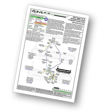
Longshaw Country Park - Woodcroft Car Park - Burbage Brook - Burbage Bridge - Toad's Mouth - Hathersage Moor - Carl Wark - Higger Tor - Upper Burbage Bridge - Burbage Moor - Burbage Rocks - Longshaw Country Park
Route Summary:
Hope - Hope Bank - Wooler Knoll - Winhill Plantation - Winhill Pike (Win Hill) - Thornhill - Aston - Hope
Route Summary:
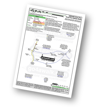
Chunal Road (Glossop) - A624 - The Grouse Inn - Burnt Hill - Mill Hill - The Knott (Hayfield) - Hollingworth Clough - Tom Heys Farm - The Grouse Inn - A624 - Chunal Road (Glossop)
Route Summary:
Edale - The Pennine Way - Upper Booth - Jacob's Ladder (Edale) - Edale Head - Kinder Scout - Edale Moor - Kinder Plateau - Kinder Low (Kinder Scout) - Noe Stool (Edale Head) - Pym Chair (Edale Head) - Crowden Tower (Kinder Scout) - Crowden Brook - Grindslow Knoll (Kinder Scout) - Grindsbrook Clough - Grinds Brook - The Vale of Edale - Edale
Route Summary:
Ladybower Reservoir - Fairholmes Car Park - Ashopton - Whinstone Lee Tor - Hurkling Stones - Wheel Stones - White Tor (Derwent Edge) - Salt Cellar (Boulder) - Derwent Edge - Dove Stone (Boulder) - Dovestones Tor - Cakes of Bread - Bradfield Gate Head - Back Tor (Derwent Edge) - Abbey Brook - High Peak - Howden Moors - Featherbed Moss (Howden Edge) - High Stones (Howden Moor) - Margery Hill - Outer Edge - Crow Stones - Crow Stones Edge - Airspeed Consul TF-RPM Plane Wreckage - Broadhead Clough - Cranberry Bed - Bull Clough - Cranberry Clough - Slippery Stones - Packhorse Bridge (River Derwent) - Howden Reservoir - Cold Side (Howden Reservoir) - Derwent Reservoir - Fairholmes Car Park - Ladybower Reservoir
Route Summary:
Birchin Clough - Snake Path - Ashop Clough - Upper Gate Clough - Red Clough - Within Clough - Ashop Head - The Pennine Way - Mill Hill (Ashop Head) - Featherbed Top (Featherbed Moss) - A57 Snake Pass - Old Woman - Doctors Gate - Lady Clough - Birchin Clough
Route Summary:
Hayfield - Sett Valley Trail - Birch Vale - The River Sett - The Pennine Bridleway - Lantern Pike - Matley Moor - Burnt Hill - Mill Hill (Ashop Head) - The Pennine Way - William Clough - Kinder Reservoir - Snake Path - Middle Moor - Hayfield
Route Summary:
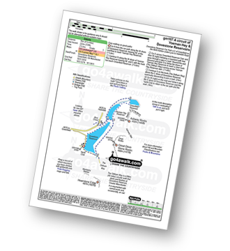
Dove Stone Reservoir - Greenfield - The Oldham Way - Yeoman Hey Reservoir - Dove Stone Reservoir
Route Summary:
Dove Stone Reservoir - Greenfield - The Oldham Way - Yeoman Hey Reservoir - Ashway Rocks - Ashway Gap - Dean Rocks - Great Dove Stone Rocks - Dove Stone Moss - Chew Reservoir - Chew Brook - Dove Stone Reservoir
Route Summary:
Dove Stone Reservoir - Greenfield - The Oldham Way - Yeoman Hey Reservoir - Greenfield Reservoir - Birchin Clough - Raven Stones Brow - Ashway Rocks - Ashway Gap - Dean Rocks - Great Dove Stone Rocks - Dove Stone Moss - Chew Reservoir - Chew Brook - Dove Stone Reservoir
Route Summary:
Dove Stone Reservoir - Greenfield - The Oldham Way - Chew Brook - Chew Reservoir - Stable Stones Brow (Hoarstone Edge) - Alphin Pike - Dove Stone Reservoir
Route Summary:
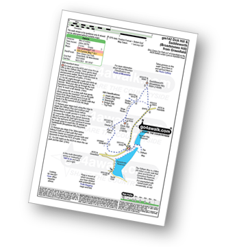
Binn Green Car Park - Greenfield - The Oldham Way - Pots and Pans War Memorial - Dick Hill - Shaw Rocks - Slades Rocks - Saddleworth Moor - Saddleworth (Broadstone Hill) - Binn Green Car Park - Greenfield.
Route Summary:
Dove Stone Reservoir - Greenfield - The Oldham Way - Yeoman Hey Reservoir - Greenfield Reservoir - Birchin Clough - Raven Stones Brow - Ashway Rocks - Dean Rocks - Great Dove Stone Rocks - Chew Reservoir - Stable Stones Brow (Hoarstone Edge) - Alphin Pike - Dove Stone Reservoir
Route Summary:
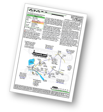
Low Bradfield - Mill Farm - Peck Hall - Sheffield Country Walk - Cliffe House Farm - Primrose Cottage Farm - Onesmoor (Kirk Edge) - High Bradfield - Sheffield Country Walk - Low Bradfield
Route Summary:
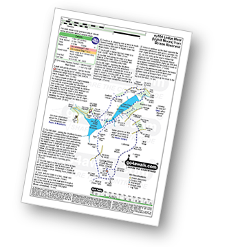
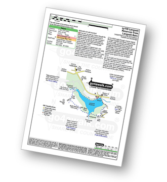
Langsett Barn - Langsett - Langsett Reservoir - Langsett Reservoir Dam - Upper Midhope - Thickwoods - Thickwoods Brook - Fenny Common Ings - Fenny Common - Pike Lowe Stones - Pike Lowe - Candlerush Edge - Sugden Top - Lost Lad (Langsett) - Mickleden Edge (Langsett) - Haslingshaw Hingcliff Common - Delf Edge - Langsett Reservoir - The Porter or Little Don River - Crookland Wood - Langsett Reservoir - Langsett Barn
Route Summary:
Strines Reservoir - Broggin Farm - Sheffield Country Walk - Lee Bank - Sugworth Delf - Sugworth Edge - Sugworth Hall - Moscar Cross Farm - Lodge Moor (Ughill Moors) - Stake Hill Road (track) - Wet Shaw Lane - Oaks Piece - Wragg House Plantation - Dale Dike Reservoir - Dale Dike - Upper Thornseat - Hallfield House - Stubbun Farm - Broggin Farm - Strines Reservoir
Route Summary:
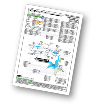
Winscar Reservoir - Dunford Bridge - Harden Reservoir - Harden Clough - Cook's Study Hill - Snailsden Reservoir - Snailsden - Upper Snailsden Moss - Harden Clugh - Harden Reservoir - Winscar Reservoir - Dunford Bridge.
Route Summary:
Langsett Barn - Langsett - Langsett Reservoir Dam - Upper Midhope - Thickwoods - Thickwoods Brook - North America Farm - Delf Edge - Langsett Reservoir - The Porter or Little Don River - Crookland Wood - Langsett Reservoir - Langsett Barn
Route Summary:
Winscar Reservoir - Dunford Bridge - The Barnsley Boundary Walk - Little Moor - The Trans Pennine Trail - The Longdendale Trail - Windle Edge - Upper Windleden Reservoir - Fiddlers Green - South Nab - Lady Cross - Salter's Brook Moss - Gallows Moss - Carr Top - Woodhead Railway Tunnel Air Shaft - Upper Grip Hill - Lower Grip Hill - Winscar Reservoir - Dunford Bridge.
Route Summary:
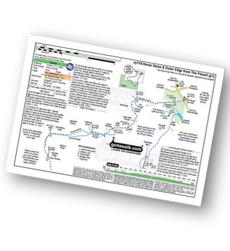
The Flouch Car Park - Crookland Wood - Swinden Lane - Fox Clough - Langsett Moors - Barmings - Hordron Road - Long Moor Clough - Hordron Clough - The Porter or Little Don River - Laund Clough - Harden Moor - Howden Edge - Hoar Stones - Horse Stone (Horse Stone Naze) - Stainery Clough Head - Howden Moors - Crow Stones - Crow Stones Edge - Outer Edge - Cut Gate End - Cut Gate Path - Mickleden Edge - Delf Edge - Langsett Reservoir - The Porter or Little Don River - The Flouch.
Route Summary:
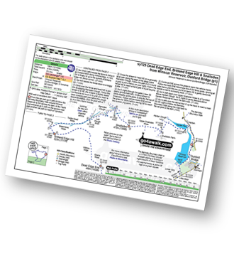
Winscar Reservoir - Dunford Bridge - The Barnsley Boundary Walk - Little Moor - The Trans Pennine Trail - The Longdendale Trail - Windle Edge - Bagshaw Ridge - Gallows Moss - Salter's Brook Moss - Long Side - Hawthorn Clough - Woodhead Railway Tunnel Air Shaft - Upper Head Dike - Dead Edge End - Upper Dead Edge - Grains Moss - Withins Edge - Britland Edge Hill - Bleakmires Moss - Twizle Head Moss - Lad Clough Knoll - Ramsden Clough - Snailsden - Upper Snailsden Moss - Harden Clugh - Harden Reservoir - Winscar Reservoir - Dunford Bridge.
Route Summary:
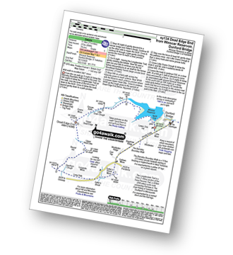
Winscar Reservoir - Dunford Bridge - The Barnsley Boundary Walk - Little Moor - The Trans Pennine Trail - The Longdendale Trail - Windle Edge - Bagshaw Ridge - Gallows Moss - Salter's Brook Moss - Long Side (Woodhead) - Hawthorn Clough - Woodhead Railway Tunnel Air Shaft - Upper Head Dike - Dead Edge End - Upper Dead Edge - Grains Moss - Little Grains Clough - Winscar Reservoir - Dunford Bridge.
Route Summary:
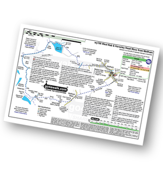
Meltham - Royd Edge - Meltham Moor - Cock Crowing Stone - West Nab - Hey Sike Clough - Horseley Head Moss - Wessenden - Binn Moor - Deer Hill Reservoir - Meltham
Route Summary:
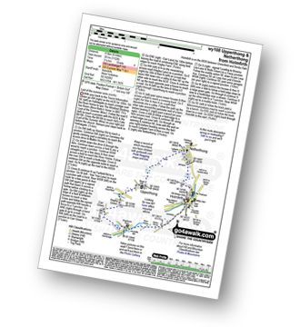
Holmfirth - Nora Batty's House and Sid's Cafe (Last of The Summer Wine) - Malkin Farm - River Holme - Hinchliffe Mill - Hogley Green - Hogley Farm - Upperthong - Netherthong - Holmfirth
Route Summary:
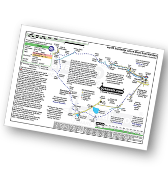
Marsden - Tunnel End - Hey Green - Close Gate Bridge - Stack End - Willkay Clough - Green Laitch - Wilmer Green Clough - Broad Wham - Haigh Gutter - The Pennine Way - Oldgate Moss - Haigh Gutter Moss - Blea Green - Northern Rotcher - Dinner Stone - Standedge (Close Moor) - Millstone Edge - Standedge - Brun Moor - Brun Clough Reservoir - Redbrook Rreservoir - The Standedge Trail - Carr Clough - Marsden
Route Summary:
Wessenden Head - The Pennine Way - Wessenden Reservoir - Wessenden Lodge - Blakely Clough - Black Moss Reservoir - Black Hill (Soldier's Lump) - Wessenden Head
See this list of walks, routes & maps in:
Grade Order | Length Order | Time Order | Walk Number or Start Location Order
NB. To reverse (toggle) this order, click Grade Order again

