   |
Vital Statistics:
| Length: | 7¼mls (11.5km) |
| Ascent: | 1,526ft (465m) |
| Time: | 4¼hrs |
| Grade: |  |

Route outline for walk d236:
Old Glossop - Shittern Clough - Lightside - Yellow Slacks - Dowstone Clough - Dog Rock - Higher Shelf Stones - James's Thorn - Doctors Gate Path - Shelf Brook - Moss Lea Farm - Old Glossop


Points of Interest/Notes on this walk:
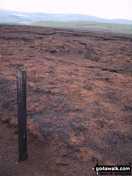
The plane wreckage 150m north-east of Higher Shelf Stones belongs to a Boeing RB-29A Superfortress No. 44-61999 which crashed about 11am on 3rd November 1948 while descending through the clouds. All 13 crew members died. It belonged to the 16th Photographic Reconnaissance Squadron, 91st Reconnaissance Group, 311th Air Division, Strategic Air Command, USAF.
Peaks, Summits and Tops reached on this walk:
 0 English Mountains |
 0 Wainwrights |
 1 English Nuttall |
 0 English Deweys |
 0 Wainwright Outlying Fells |
 0 Marilyns |
 0 Bridgets |
Peak Bagging Statistics for this walk:
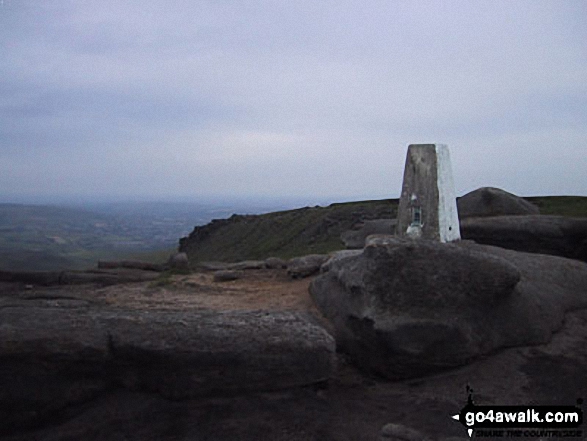
The highest point of this walk is Higher Shelf Stones at 622m (2041ft). Higher Shelf Stones is also known as an English Nuttall (229th highest in England, 398th highest in England & Wales). The summit of Higher Shelf Stones is marked by an Ordnance Survey Trig Point.
You can find this walk and other nearby walks on these unique free-to-access Interactive Walk Planning Maps:
1:25,000 scale OS Explorer Map (orange/yellow covers):
1:50,000 scale OS Landranger Map (pink/magenta covers):
Some Photos and Pictures from Walk d236 Higher Shelf Stones from Old Glossop
In no particular order . . .


Plane Wreckage from the crashed flying fortress on Higher Shelf Stones.
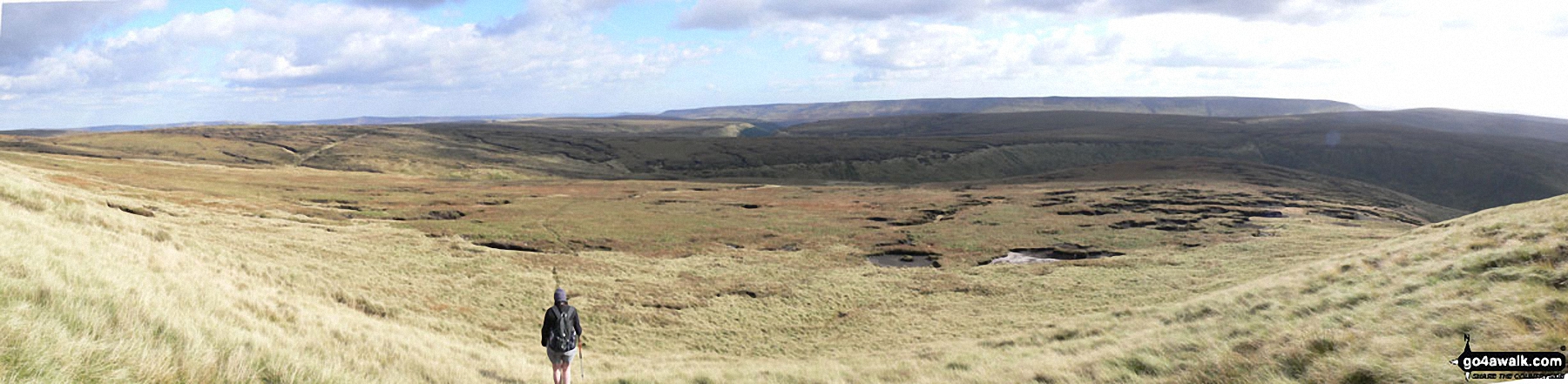
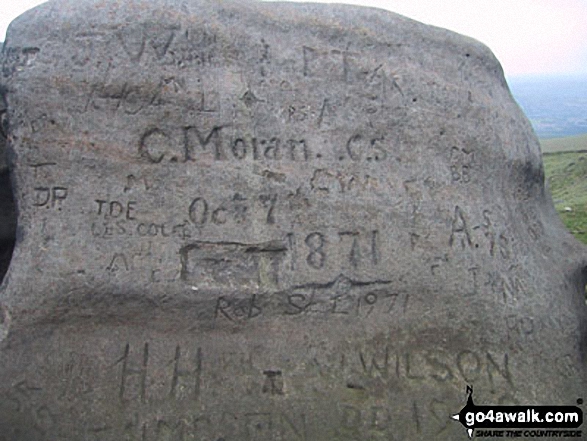
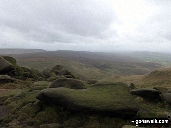
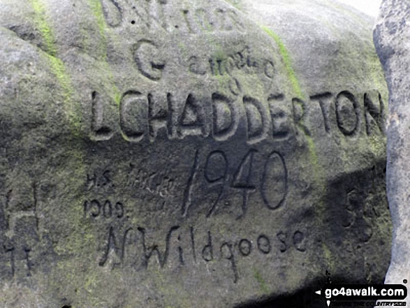



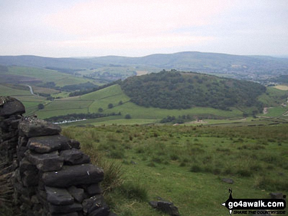
The Northern Edge of Kinder Scout taken from Higher Shelf Stones, looking SW to the Snake Pass (A57).


Send us your photographs and pictures from your walks and hikes
We would love to see your photographs and pictures from walk d236 Higher Shelf Stones from Old Glossop. Send them in to us as email attachments (configured for any computer) along with your name and where the picture was taken to:
and we shall do our best to publish them.
(Guide Resolution = 300dpi. At least = 660 pixels (wide) x 440 pixels (high).)

You can also submit photos from walk d236 Higher Shelf Stones from Old Glossop via our Facebook Page.
NB. Please indicate where each photo was taken.


