   |
Vital Statistics:
| Length: | 10½mls (17km) |
| Ascent: | 2,055ft (626m) |
| Time: | 6hrs |
| Grade: |  |
Route outline for walk d171:
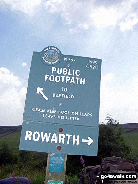
Hayfield - Sett Valley Trail - Birch Vale - The River Sett - The Pennine Bridleway - Lantern Pike - Rowarth - Cown Edge Rocks - Chunal Road (Glossop) - Hollingwood Clough - Middle Moor (Hayfield) - The Snake Path - Hayfield
Peaks, Summits and Tops reached on this walk:
 0 English Mountains |
 0 Wainwrights |
 0 English Nuttalls |
 0 English Deweys |
 0 Wainwright Outlying Fells |
 0 Marilyns |
 2 Bridgets |
Peak Bagging Statistics for this walk:
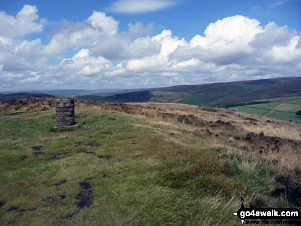
The highest point of this walk is Cown Edge Rocks at 410m (1345ft). Cown Edge Rocks is known as an English Bridget. The summit of Cown Edge Rocks is marked by an Ordnance Survey Trig Point.
Completing this walk will also take you to the top of Lantern Pike at 373m (1224ft). Lantern Pike is known as an English Bridget.
You can find this walk and other nearby walks on these unique free-to-access Interactive Walk Planning Maps:
1:25,000 scale OS Explorer Map (orange/yellow covers):
1:50,000 scale OS Landranger Map (pink/magenta covers):
Some Photos and Pictures from Walk d171 Lantern Pike and Cown Edge Rocks from Hayfield
In no particular order . . .

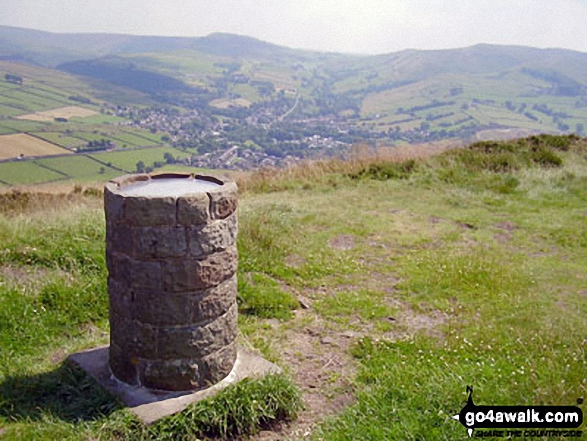
Lantern Pike summit with Mill Hill (Ashop Head), Kinder Scout and
Chinley Churn and Hayfield beyond
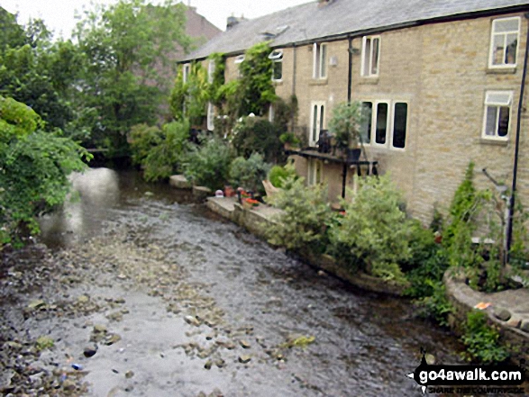

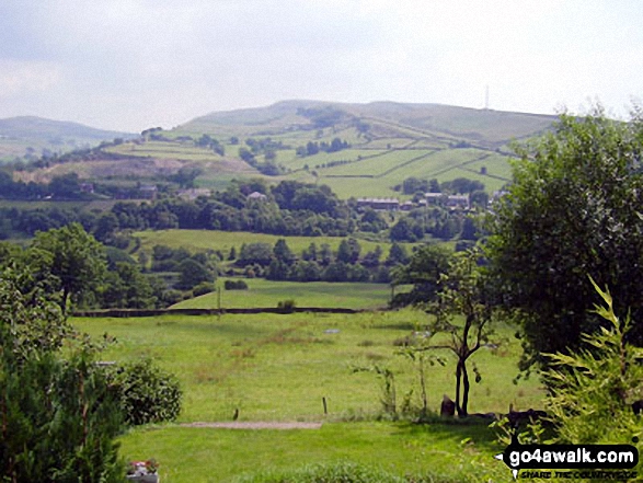
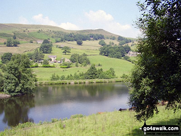
Chinley Churn above Birch Vale and The Sett Valley Trail from
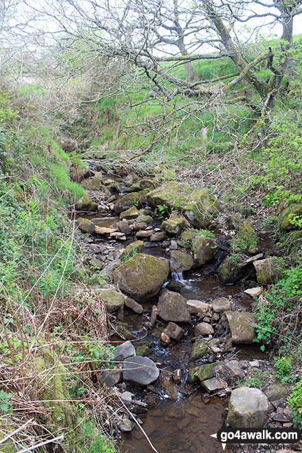
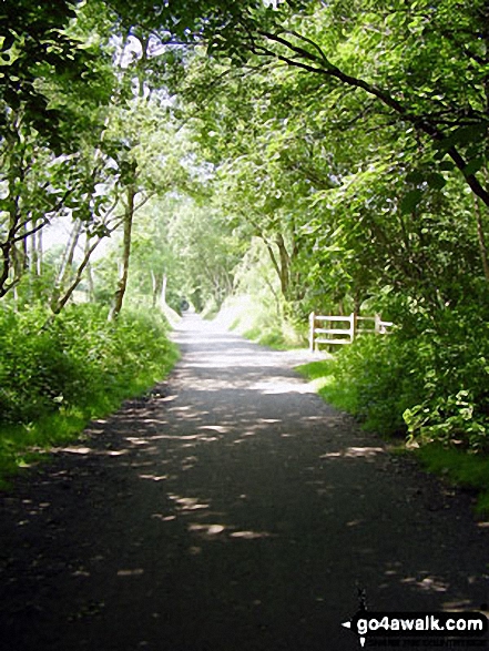
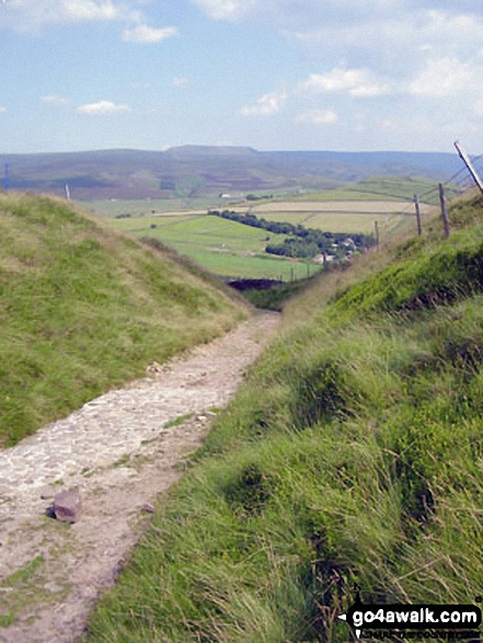
The Pennine Bridleway on the lower slopes of Lantern Pike


. . . load all 34 walk photos from Walk d171 Lantern Pike and Cown Edge Rocks from Hayfield
Send us your photographs and pictures from your walks and hikes
We would love to see your photographs and pictures from walk d171 Lantern Pike and Cown Edge Rocks from Hayfield. Send them in to us as email attachments (configured for any computer) along with your name and where the picture was taken to:
and we shall do our best to publish them.
(Guide Resolution = 300dpi. At least = 660 pixels (wide) x 440 pixels (high).)

You can also submit photos from walk d171 Lantern Pike and Cown Edge Rocks from Hayfield via our Facebook Page.
NB. Please indicate where each photo was taken.


