Six easy to follow circular walk route maps from Eyam in the The White Peak Area of The Peak District National Park, Derbyshire, England

   |
Vital Statistics:
| Length: | 6.25 miles (10 km) |
| Ascent: | 1,246ft (380m) |
| Time: | 3½ hrs |
| Grade: |  |
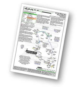
Route Summary:
Eyam - Sir William Hill - Eyam Moor - Bole Hill (Highlow) - Stoke Ford - Abney Clough - Abney - Cockey Farm - Bretton Clough - Bretton - Eyam


|
Vital Statistics:
| Length: | 7.5 miles (12.5 km) |
| Ascent: | 722ft (220m) |
| Time: | 3½ hrs |
| Grade: |  |
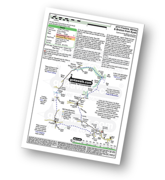
Route Summary:
Eyam - Town Head - Linen Dale - Foolow - Bretton Brook - Grange Farm - Abney Grange - Abney - Abney Clough - Stoke Ford - Bretton Brook - Bretton Clough - Bretton - Eyam Edge - Eyam

|
Vital Statistics:
| Length: | 9.75 miles (15.5 km) |
| Ascent: | 2,074ft (632m) |
| Time: | 6 hrs |
| Grade: |  |
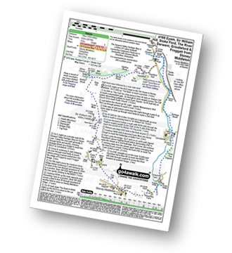
Route Summary:
Stoney Middleton - The Cliff - Eyam - Sir William Hill - Eyam Moor - Bole Hill (Highlow) - Bretton Brook - Stoke Ford - Mill Wood - Brook Wood - Highlow Brook - Hazleford - Hazleford Hall - Leadmill - Leadmill Bridge - River Derwent - The Derwent Valley Heritage Way - Coppice Wood - Burbage Brook - Grindleford - Horse Hay Coppice - Derwent Farm - Froggatt Bridge - Knouchley Farm - Stoney Middleton

|
Vital Statistics:
| Length: | 9.5 miles (15 km) |
| Ascent: | 1,792ft (546m) |
| Time: | 5.25hrs |
| Grade: | |
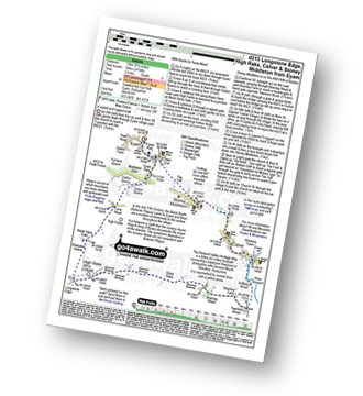
Route Summary:
Eyam - Eyam Dale - Middleton Dale - Dalton Quarry - High Fields - Black Harry Lane - Black Harry Gate - Blakedon Hollow - Longstone Edge - High Rake - Deep Rake - Bramley Wood - Bramley Farm - Townend Wood - The Dane Valley Heritage Way - St Mary's Wood - Calver - Stoney Middleton - The Cliff - Eyam

|
Vital Statistics:
| Length: | 9.75 miles (15.5 km) |
| Ascent: | 1,697ft (517m) |
| Time: | 5.25hrs |
| Grade: | |
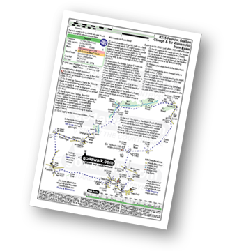
Route Summary:
Eyam - Foolow - Eyam Edge - Bretton - Bretton Clough - Abney Clough - Stoke Ford - Mill Wood - Brook Wood - Hazelford - Leam - Eyam Moor - Sir William Hill - Eyam

|
Vital Statistics:
| Length: | 11.75 miles (19 km) |
| Ascent: | 1,989ft (606m) |
| Time: | 6.25hrs |
| Grade: | |

Route Summary:
Eyam - The Cliff - Stoney Middleton - Coombs Dale - Sallet Hole Mine - Rough Side - Black Harry Gate - Blakedon Hollow - High Rake - Longstone Edge - Watershaw Rake - Longstone Moor - Wardlow Hay Cop - Cressbrook Dale - Tansley Dale - Wardlow Mires - Stanley House Farm - Silly Dale - Foolow - Linen Dale - Eyam