Walk d201 Seal Stones (Kinder Scout) and Seal Edge from Birchin Clough

This 8¼ mile, Grade 6 (Moderate), easy-to-follow, hand-crafted walk, complete with GPS Waypoints, starts at Birchin Clough & will take about 5 hrs to complete.

Download Walk PDF Icon
Download GPX Track Icon
Download GPS Waypoints Icon

Vital Statistics:

Length:8¼mls (13km)
Ascent:2,060ft (628m)
Time:5hrs
Grade:Walk Grade 6_23_with_text.png Icon

Route outline for walk d201:

Birchin Clough  -  A57 Snake Pass  -  Lady Clough  -  River Ashop  -  Rough Bank  -  Fair Brook  -  Gate Side Clough  -  Wood Moor  -  Dunge Clough  -  The Wicken  -  Blackden Brook  -  Blackden Moor  -  Kinder Scout  -  Edale Moor  -  Kinder Plateau  -  Seal Edge  -  Seal Stones (Kinder Scout)  -  Fair Brook  -  Birchin Wood  -  Birchin Clough

Peaks, Summits and Tops reached on this walk:

Hewitt Icon
1
English
Mountain
Wainwright Icon
0
Wainwrights
English Nuttall Icon
1
English
Nuttall
Dewey Icon
0
English
Deweys
Wainwright Outlying Fell Icon
0
Wainwright
Outlying Fells
Marilyn Icon
1
Marilyn
Bridget Icon
1
Bridget

Peak Bagging Statistics for this walk:

The highest point of this walk is Kinder Scout at 636m (2087ft). Kinder Scout is classified as an English Mountain (Hewitt) (156th highest in England, 265th highest in England & Wales)

Kinder Scout is also known as an English Nuttall (207th highest in England, 356th highest in England & Wales) and an English Marilyn (47th highest in England, 710th highest in the UK).

Kinder Scout is the highest point in The Peak District National Park and the highest point in the county of Derbyshire.

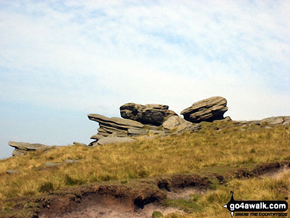
Completing this walk will also take you to the top of Seal Stones (Kinder Scout) at 603m (1979ft). Seal Stones (Kinder Scout) is known as an English Bridget.


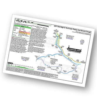
You can find this walk and other nearby walks on these unique Interactive Walk Planning Maps:

(worth a look if you're new to go4awalk.com & have never seen one of these before.)

The Peak District National Park


1:25,000 scale OS Explorer Map (orange/yellow covers):

OS Explorer OL1 The Peak District - Dark Peak area


1:50,000 scale OS Landranger Map (pink/magenta covers):

OS Landranger 110 Sheffield & Huddersfield, Glossop & Holmfirth


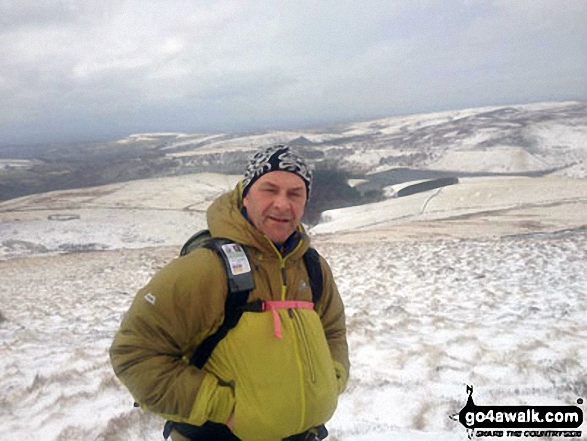
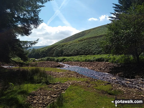
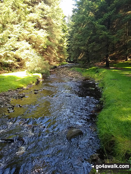
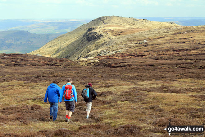
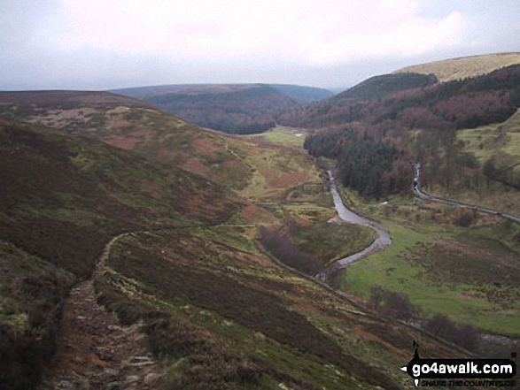
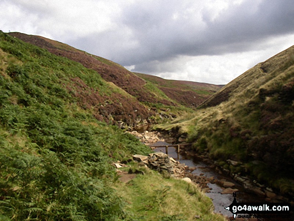
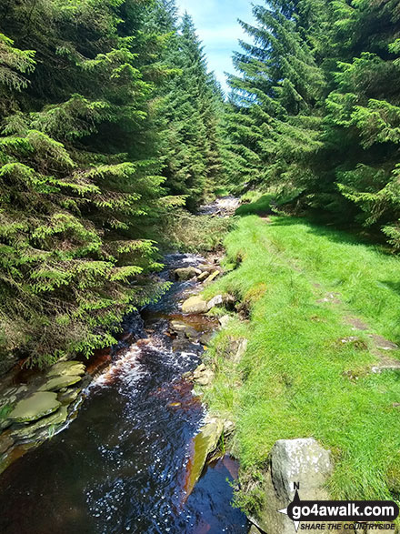
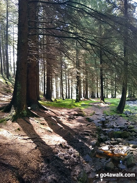
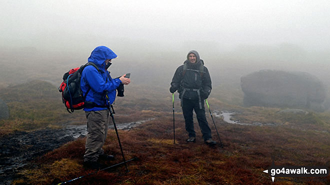
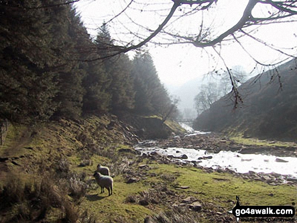
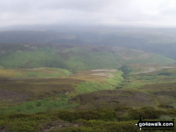
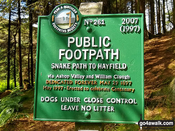
Some Photos and Pictures from Walk d201 Seal Stones (Kinder Scout) and Seal Edge from Birchin Clough

In no particular order . . .

Birchin Clough

Birchin Clough

Photo: Robert Hardy (16)

Birchin Clough

Birchin Clough

Photo: Robert Hardy (19)

Rob, Big Truck and Carl crossing Edale Moor heading for Grindlsow Knoll

Rob, Big Truck and Carl crossing Edale Moor heading for Grindlsow Knoll

Photo: Dorsal Finn (129)

A snowy mothers day on Kinder Scout

A snowy mothers day on Kinder Scout

Photo: Martin Wardroper (5)

Public Footpath sign by the River Ashop near Birchin Clough

Public Footpath sign by the River Ashop near Birchin Clough

Photo: Robert Hardy (26)

Birchin Clough

Birchin Clough

Photo: Robert Hardy (21)

Caldron on a misty Kinder Scout

Caldron on a misty Kinder Scout

Photo: Bob Ferguson (100)

Lady Clough from Seal Stones (Kinder Scout)

Lady Clough from Seal Stones (Kinder Scout)

Photo: Andy Harrison (1)

My wife and daughter on Kinder Scout

My wife and daughter on Kinder Scout

Photo: Keith Sloane (1)

Rock formations on the northern edge of Kinder Scout with Featherbed Moss over Black Ashop Moor in the background.

Rock formations on the northern edge of Kinder Scout with Featherbed Moss over Black Ashop Moor in the background.

Photo: Paul Tonge (1)


. . . load all 72 walk photos from Walk d201 Seal Stones (Kinder Scout) and Seal Edge from Birchin Clough


Send us your photographs and pictures from your walks and hikes

Send them in to us as email attachments (configured for any computer) along with your name/username and where the picture was taken to:

and we shall do our best to publish them.

(Guide Resolution = 300dpi. At least = 660 pixels (wide) x 440 pixels (high).)

Facebook Logo

You can also submit photos via our Facebook Page.

NB. Please indicate where each photo was taken so we can match it to a walk route.


Do not miss our pick of the Best Walks in Britain


His morning walk was beneath the elms in the churchyard - Sir Walter Scott: 1771-1832
Follow go4awalk.com on Twitter Follow go4awalk.com on Facebook


Find new Friends to go walking with

Walk all 214 Wainwrights in just 59 Walks. Download GPS Waypoints - Great Walks you must not miss!

Walk The Yorkshire Three Peaks Challenge Walk - All the Latest Route Information, GPS Waypoints and Split Times to keep you on Schedule

Walk The British Three Peaks Challenge Walk - All the Latest Route Information and GPS Waypoints

See our pick of The Best Walks in The Lake District - Great Walks you must not miss!

Walk our pick of the Best Lake District Ridge Walks - Great Walks you must not miss!

Walk our pick of the Best Lake District Walks to do in the rain - Great Walks you must not miss!

Walk our pick of The Best Walks in Snowdonia - Great Walks you must not miss!

Walk our pick of The Best Ridge Walks in Wales - Walks you must not miss!

Walk our pick of The Best Walks in The Brecon Beacons - Great Walks you must not miss!

Walk our pick of The Best Walks in The Yorkshire Dales - Walks you must not miss!

Walk our pick of The Best Walks in The Peak District - Walks you must not miss!

Walk our pick of The Best Walks in The Forest of Bowland - Walks you must not miss!

Walk our pick of The Best Walks in Shropshire - Walks you must not miss!

Walk our pick of The Best Walks in Cheshire - Walks you must not miss!

Walk our pick of The Best Walks in Lancashire - Walks you must not miss!

Not sure where to walk next? Try Peak Bagging - Great Walks you must not miss!

Not sure where to walk next? Walk part of a National Trail - Great Walks you must not miss!

Walks with Downloadable and Uploadable GPS Waypoint Data

Walking Kit and Gear Tested by Walkers

Full Site Search
Do not miss our pick of the Best Walks in Britain