   |
Vital Statistics:
| Length: | 7¾mls (12.5km) |
| Ascent: | 1,650ft (503m) |
| Time: | 4½hrs |
| Grade: |  |

Route outline for walk d168:
Slackhall - Chestnut Centre - Bowden Head Fold - Wash - Breckhead Farm - Dawsnap Farm - Bennett Barn - Bullhill Farm - Andrews Farm - Pennine Bridleway - Mount Famine - South Head (Hayfield) - Roych Clough - Bolehill Clough - Tom Moor Plantation - Breck Edge - Slackhall
Peaks, Summits and Tops reached on this walk:
 0 English Mountains |
 0 Wainwrights |
 0 English Nuttalls |
 0 English Deweys |
 0 Wainwright Outlying Fells |
 0 Marilyns |
 2 Bridgets |
Peak Bagging Statistics for this walk:
The highest point of this walk is South Head (Hayfield) at 494m (1621ft). South Head (Hayfield) is known as an English Bridget.
Completing this walk will also take you to the top of Mount Famine at 473m (1552ft). Mount Famine is known as an English Bridget.
You can find this walk and other nearby walks on these unique free-to-access Interactive Walk Planning Maps:
1:25,000 scale OS Explorer Map (orange/yellow covers):
1:50,000 scale OS Landranger Map (pink/magenta covers):
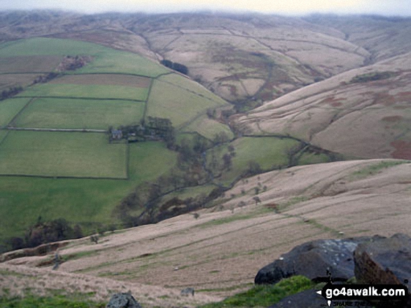
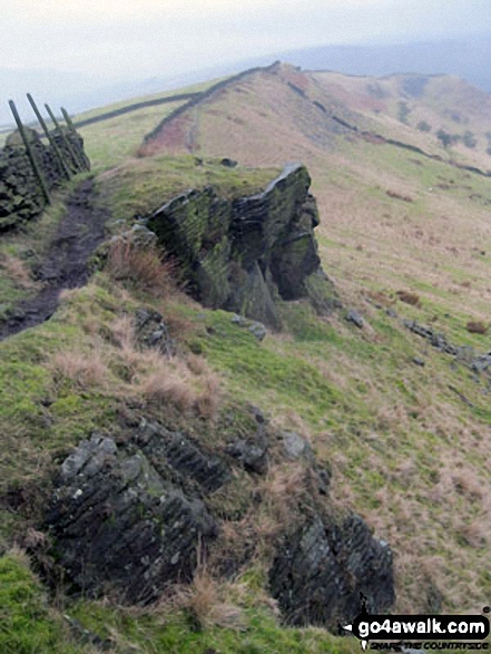
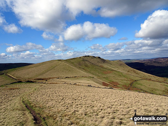
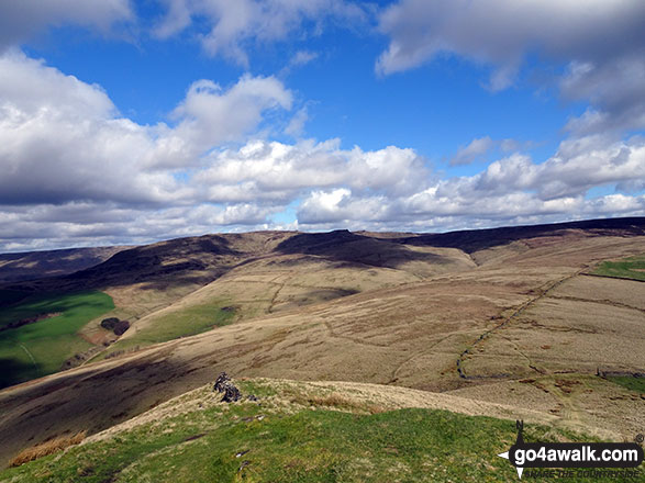
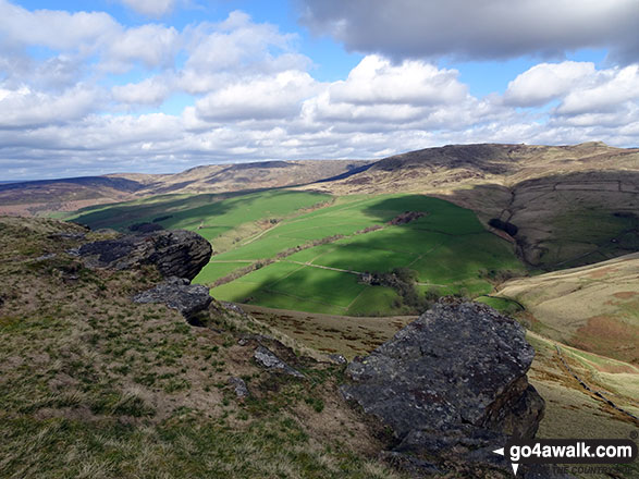
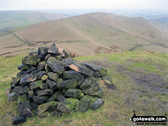
Some Photos and Pictures from Walk d168 Mount Famine from Slackhall
In no particular order . . .

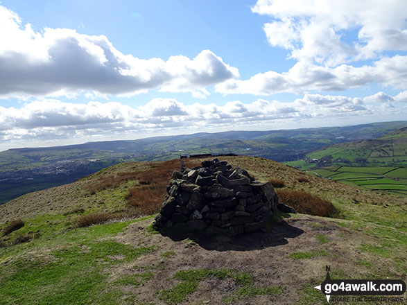

My partner Steve Bradbury on the summit of Mount Famine just as the mist lifted giving a glorious sunny day


Send us your photographs and pictures from your walks and hikes
We would love to see your photographs and pictures from walk d168 Mount Famine from Slackhall. Send them in to us as email attachments (configured for any computer) along with your name and where the picture was taken to:
and we shall do our best to publish them.
(Guide Resolution = 300dpi. At least = 660 pixels (wide) x 440 pixels (high).)

You can also submit photos from walk d168 Mount Famine from Slackhall via our Facebook Page.
NB. Please indicate where each photo was taken.


