|
Vital Statistics:
| Length: | 5¾mls (9km) |
| Ascent: | 971ft (296m) |
| Time: | 3hrs |
| Grade: |  |
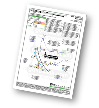
Route outline for walk d288:
Hope - Hope Bank - Wooler Knoll - Winhill Plantation - Winhill Pike (Win Hill) - Thornhill - Aston - Hope


Peaks, Summits and Tops reached on this walk:
 0 English Mountains |
 0 Wainwrights |
 0 English Nuttalls |
 0 English Deweys |
 0 Wainwright Outlying Fells |
 0 Marilyns |
 1 Bridget |
Peak Bagging Statistics for this walk:
The highest point of this walk is Winhill Pike (Win Hill) at 462m (1516ft). Winhill Pike (Win Hill) is known as an English Bridget. The summit of Winhill Pike (Win Hill) is marked by an Ordnance Survey Trig Point.
You can find this walk and other nearby walks on these unique free-to-access Interactive Walk Planning Maps:
1:25,000 scale OS Explorer Map (orange/yellow covers):
1:50,000 scale OS Landranger Map (pink/magenta covers):
Some Photos and Pictures from Walk d288 Winhill Pike from Hope
In no particular order . . .
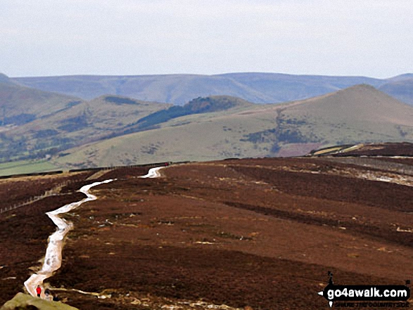
The Hope Valley and Lose Hill (Ward's Piece) (right) from Winhill Pike (Win Hill) summit
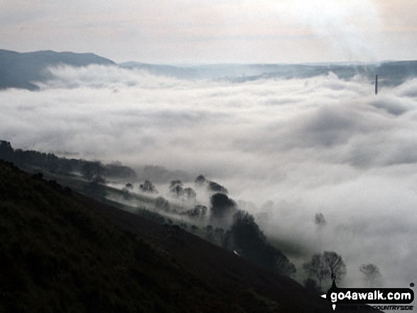
The Edale Valley during a temperature inversion - as seen from Winhill Pike (Win Hill)

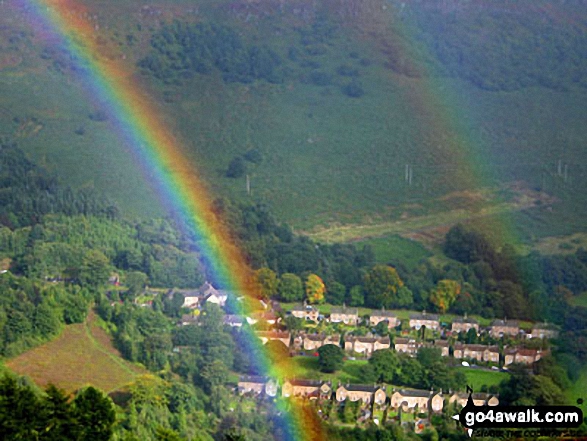
A rainbow over Bamford Moor from near to the top of Parkin Clough, Winhill Pike (Win Hill)
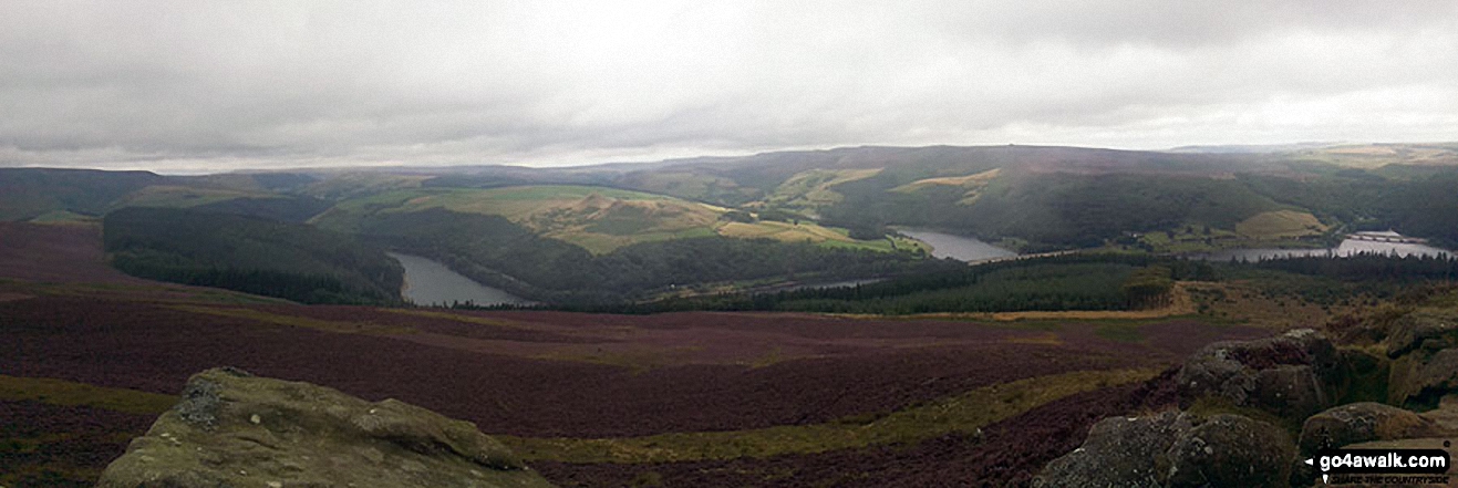
Panoramic from top of Winhill Pike (Win Hill) featuring Ladybower Reservoir
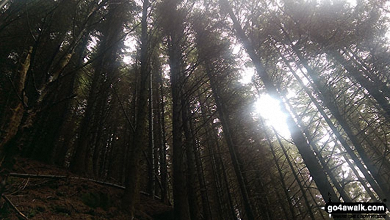
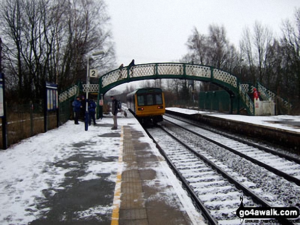
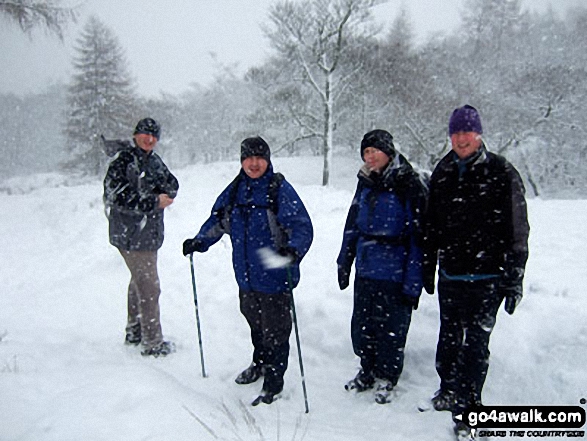
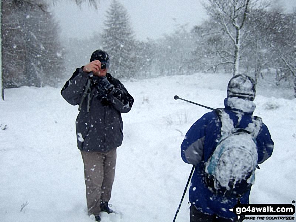
Big Truck and Jimbles in heavy snow on the descent down Winhill Pike (Win Hill)
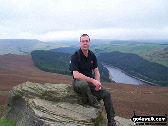
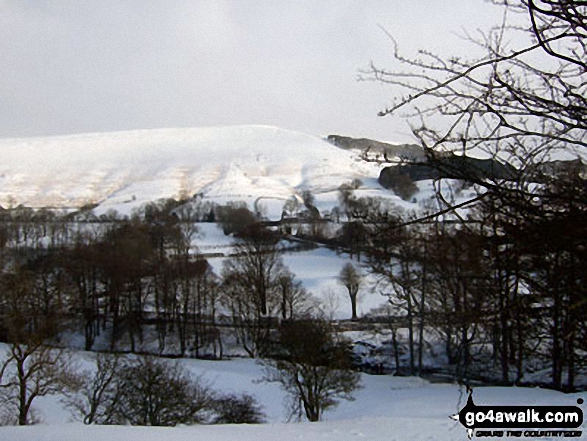
Winhill Pike (Win Hill) from The River Noe Valley north of Hope in heavy snow

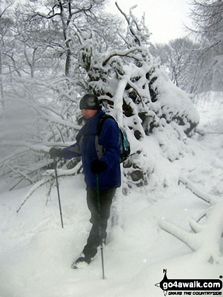
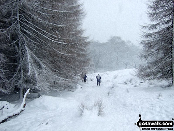
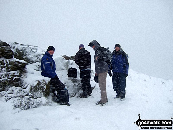
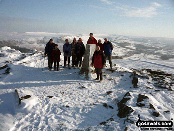
Jimbles, Langy, Big Truck & Mozzer on the summit of Winhill Pike (Win Hill) during a blizzard
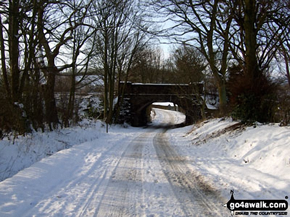

The Vale of Edale with Mam Tor (centre) and Lose Hill (Ward's Piece) in the distance from Winhill Pike (Win Hill)

Lose Hill (Ward's Piece) emerging from a temperature inversion - seen from Winhill Pike (Win Hill)
. . . load all 30 walk photos from Walk d288 Winhill Pike from Hope
Send us your photographs and pictures from your walks and hikes
We would love to see your photographs and pictures from walk d288 Winhill Pike from Hope. Send them in to us as email attachments (configured for any computer) along with your name and where the picture was taken to:
and we shall do our best to publish them.
(Guide Resolution = 300dpi. At least = 660 pixels (wide) x 440 pixels (high).)

You can also submit photos from walk d288 Winhill Pike from Hope via our Facebook Page.
NB. Please indicate where each photo was taken.