   |
Vital Statistics:
| Length: | 7½mls (12km) |
| Ascent: | 1,118ft (360m) |
| Time: | 4hrs |
| Grade: |  |

Route outline for walk sy102:
Langsett Barn - Langsett - Langsett Reservoir - Langsett Reservoir Dam - Upper Midhope - Thickwoods - Thickwoods Brook - Fenny Common Ings - Fenny Common - Pike Lowe Stones - Pike Lowe - Candlerush Edge - Sugden Top - Lost Lad (Langsett) - Mickleden Edge (Langsett) - Haslingshaw Hingcliff Common - Delf Edge - Langsett Reservoir - The Porter or Little Don River - Crookland Wood - Langsett Reservoir - Langsett Barn
Peaks, Summits and Tops reached on this walk:
 0 English Mountains |
 0 Wainwrights |
 0 English Nuttalls |
 0 English Deweys |
 0 Wainwright Outlying Fells |
 0 Marilyns |
 1 Bridget |
Peak Bagging Statistics for this walk:
The highest point of this walk is Pike Lowe at 478m (1569ft). Pike Lowe is known as an English Bridget.
You can find this walk and other nearby walks on these unique free-to-access Interactive Walk Planning Maps:
1:25,000 scale OS Explorer Map (orange/yellow covers):
1:50,000 scale OS Landranger Map (pink/magenta covers):
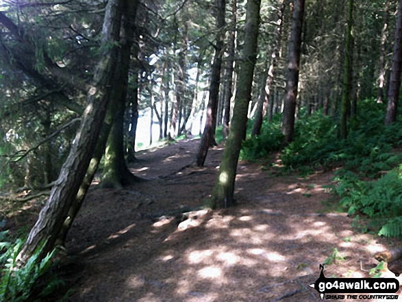
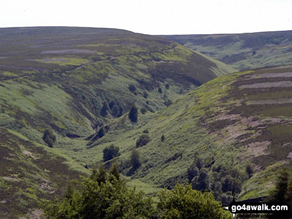
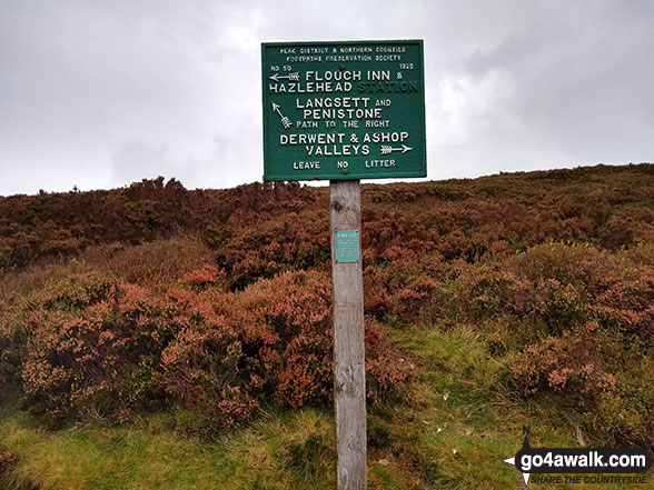
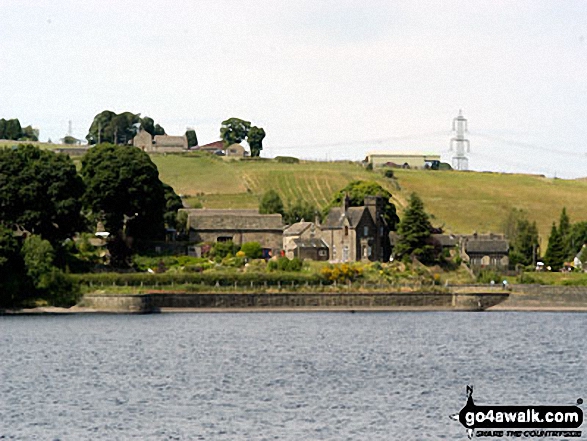
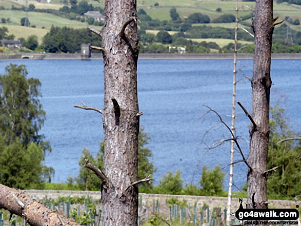
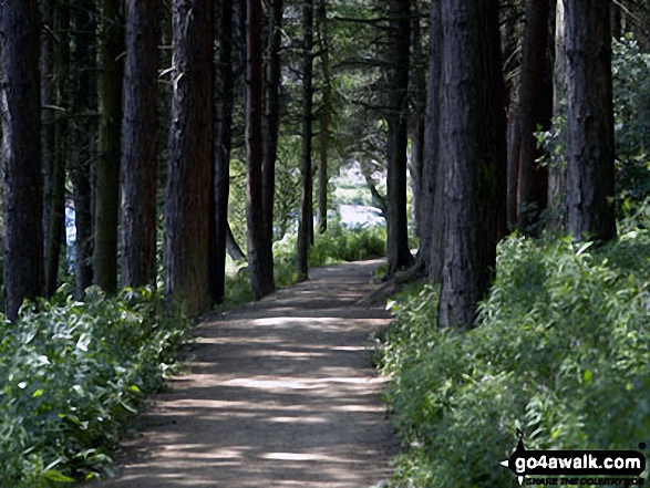
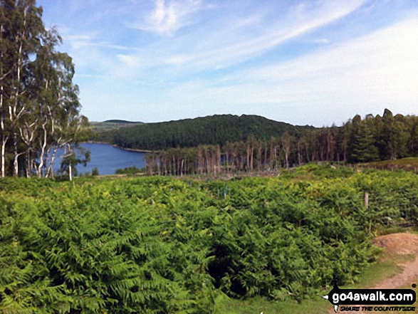
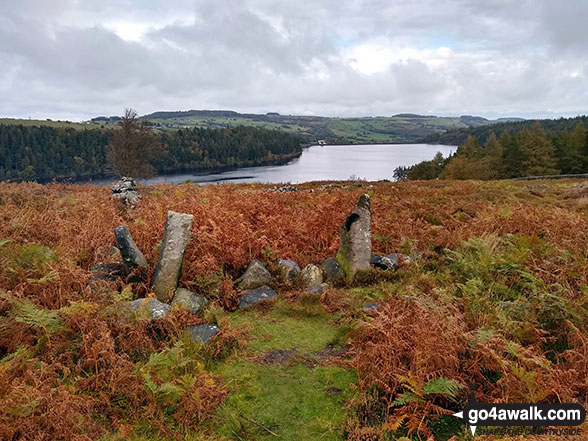
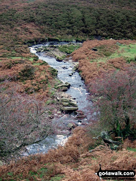
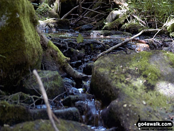
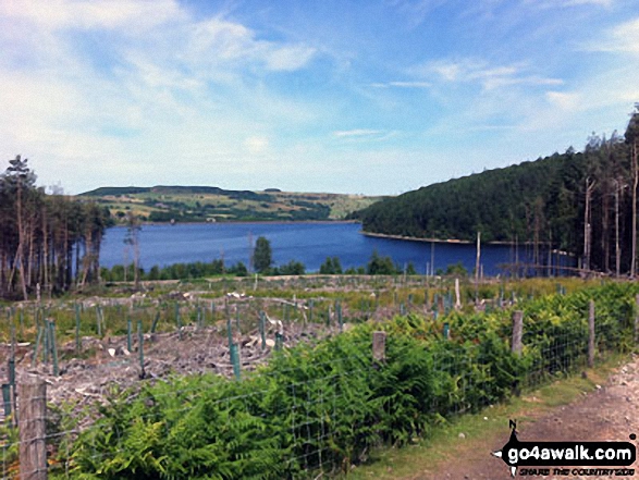
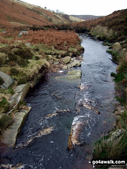
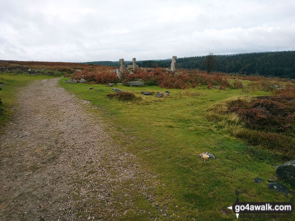
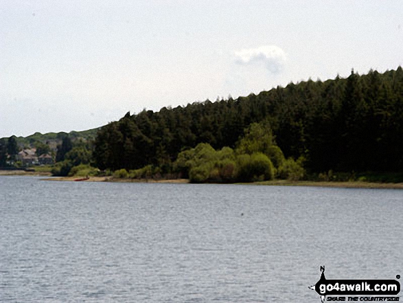
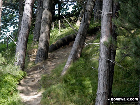
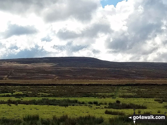
Some Photos and Pictures from Walk sy102 Pike Lowe from Langsett Barn
In no particular order . . .


. . . load all 33 walk photos from Walk sy102 Pike Lowe from Langsett Barn
Send us your photographs and pictures from your walks and hikes
We would love to see your photographs and pictures from walk sy102 Pike Lowe from Langsett Barn. Send them in to us as email attachments (configured for any computer) along with your name and where the picture was taken to:
and we shall do our best to publish them.
(Guide Resolution = 300dpi. At least = 660 pixels (wide) x 440 pixels (high).)

You can also submit photos from walk sy102 Pike Lowe from Langsett Barn via our Facebook Page.
NB. Please indicate where each photo was taken.


