Walk sy104 Lodge Moor (Ughill Moors) from Strines Reservoir

This 8¼ mile, Grade 5 (Moderate), easy-to-follow, hand-crafted walk, complete with GPS Waypoints, starts at Strines Reservoir & will take you about 4¼ hrs to complete.
Download Walk PDF Icon
Download GPX Track Icon
Download GPS Waypoints Icon

Download Walk c312 Route Map

Detailed walk route map PDF complete with GPS Waypoints

Vital Statistics:

Length: 7 miles (11km)
Ascent: 2,373ft (723m)
Time: 5hrs
Grade: Walk Grade 5 (Moderate) Icon
Walk Type: High Mountains
Start: Cow Bridge car park*
Grid Ref: NY403134
Sat Nav: N54.5122   W2.9241
What3words: scarecrow.generals.fire
Postcode: CA11 0NS‡
Car Park Fee: Pay and display. Free parking for National Trust members
Car Park Size: Small. Only room for 22 well-parked cars
Location: On the A592 between Hartsop and Patterdale
Stiles: None
Dogs: Permitted under close control
Terrain: Good paths in the valley, thin mountain paths higher up
Gear Needed: Full mountain gear including boots, warm layers, waterproofs, food & water, and good weather


Route outline for this walk:


Strines Reservoir  -  Broggin Farm  -  Sheffield Country Walk  -  Lee Bank  -  Sugworth Delf  -  Sugworth Edge  -  Sugworth Hall  -  Moscar Cross Farm  -  Lodge Moor (Ughill Moors)  -  Stake Hill Road (track)  -  Wet Shaw Lane  -  Oaks Piece  -  Wragg House Plantation  -  Dale Dike Reservoir  -  Dale Dike  -  Upper Thornseat  -  Hallfield House  -  Stubbun Farm  -  Broggin Farm  -  Strines Reservoir


Peaks, Summits and Tops reached on this walk:

Hewitt Icon
0
English
Mountains
Wainwright Icon
0
Wainwrights
English Nuttall Icon
0
English
Nuttalls
Dewey Icon
0
English
Deweys
Wainwright Outlying Fell Icon
0
Wainwright
Outlying Fells
Marilyn Icon
0
Marilyns
Bridget Icon
1
Bridget

Peak Bagging Statistics for this walk:

The highest point of this walk is Lodge Moor (Ughill Moors) at 409m (1342ft). Lodge Moor (Ughill Moors) is known as an English Bridget.


You can find this walk and other nearby walks on these unique Interactive Walk Planning Maps:

(worth a look if you're new to go4awalk.com & have never seen one of these before.)

The Peak District National Park


1:25,000 scale OS Explorer Map (orange/yellow covers):

OS Explorer OL1 The Peak District - Dark Peak area


1:50,000 scale OS Landranger Map (pink/magenta covers):

OS Landranger 110 Sheffield & Huddersfield, Glossop & Holmfirth


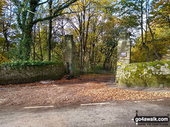
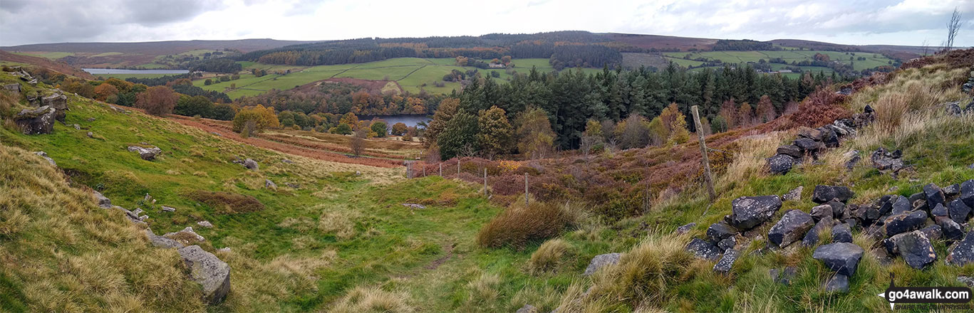
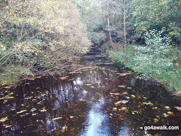
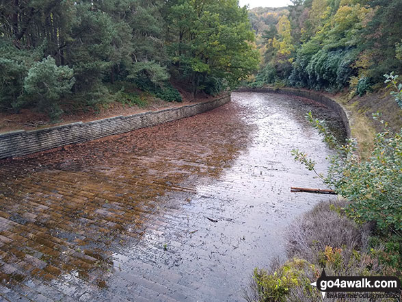
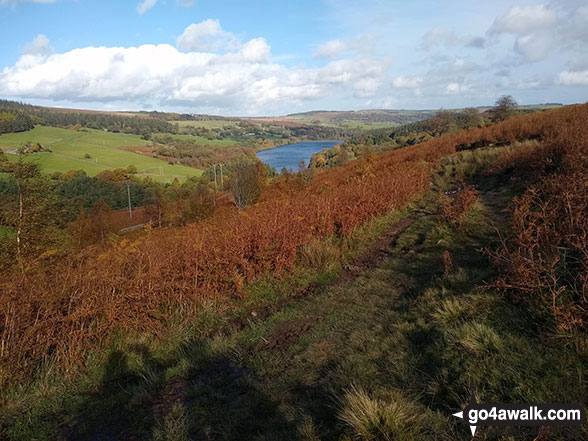
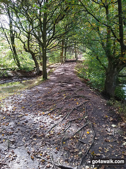
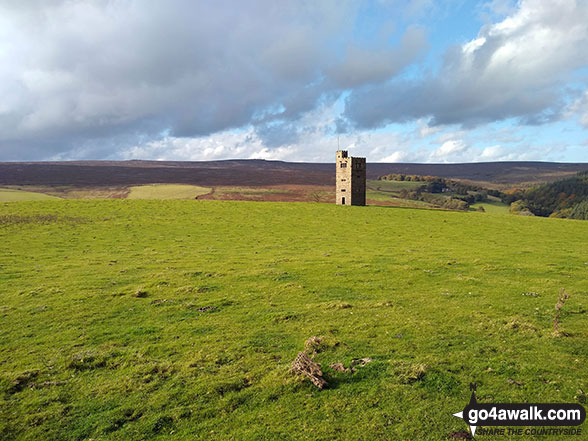
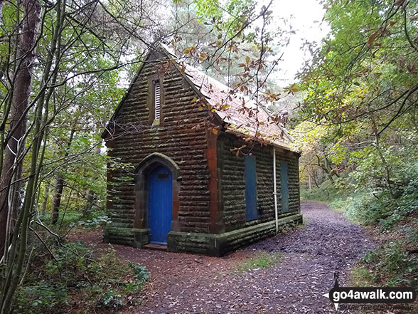
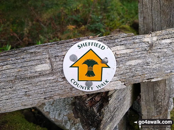
Some Photos and Pictures from Walk sy104 Lodge Moor (Ughill Moors) from Strines Reservoir

In no particular order . . .

Strines Reservoir from Lee Bank

Strines Reservoir from Lee Bank

Photo: Don Ritchie (62)

Sheffield Country Walk way marker

Sheffield Country Walk way marker

Photo: Don Ritchie (71)

The outflow river from Strines Reservoir

The outflow river from Strines Reservoir

Photo: Don Ritchie (60)

The tower on Sugworth Edge above Strines Reservoir

The tower on Sugworth Edge above Strines Reservoir

Photo: Don Ritchie (65)

Dale Dike Reservoir overflow channel

Dale Dike Reservoir overflow channel

Photo: Don Ritchie (74)

Dale Dike Reservoir from Lee Bank

Dale Dike Reservoir from Lee Bank

Photo: Don Ritchie (63)

The gates to Sugworth Hall

The gates to Sugworth Hall

Photo: Don Ritchie (66)

Strines Reservoir

Strines Reservoir

Photo: Don Ritchie (59)

The Dale Dike Valley from Wet Shaw Lane

Photo: Don Ritchie (70)


. . . load all 16 walk photos from Walk sy104 Lodge Moor (Ughill Moors) from Strines Reservoir


Send us your photographs and pictures from your walks and hikes

Send them in to us as email attachments (configured for any computer) along with your name/username and where the picture was taken to:

and we shall do our best to publish them.

(Guide Resolution = 300dpi. At least = 660 pixels (wide) x 440 pixels (high).)

Facebook Logo

You can also submit photos via our Facebook Page.

NB. Please indicate where each photo was taken so we can match it to a walk route.


And so when life is dull, or when my heart is full, because my dreams frowned. I wander up the rills, to stones and tarns and hills, I go there to be crowned: 1814-1863
Follow go4awalk.com on Twitter Follow go4awalk.com on Facebook


Find new Friends to go walking with

Walk all 214 Wainwrights in just 59 Walks. Download GPS Waypoints - Great Walks you must not miss!

Walk The Yorkshire Three Peaks Challenge Walk - All the Latest Route Information, GPS Waypoints and Split Times to keep you on Schedule

Walk The British Three Peaks Challenge Walk - All the Latest Route Information and GPS Waypoints

See our pick of The Best Walks in The Lake District - Great Walks you must not miss!

Walk our pick of the Best Lake District Ridge Walks - Great Walks you must not miss!

Walk our pick of the Best Lake District Walks to do in the rain - Great Walks you must not miss!

Walk our pick of The Best Walks in Snowdonia - Great Walks you must not miss!

Walk our pick of The Best Ridge Walks in Wales - Walks you must not miss!

Walk our pick of The Best Walks in The Brecon Beacons - Great Walks you must not miss!

Walk our pick of The Best Walks in The Yorkshire Dales - Walks you must not miss!

Walk our pick of The Best Walks in The Peak District - Walks you must not miss!

Walk our pick of The Best Walks in The Forest of Bowland - Walks you must not miss!

Walk our pick of The Best Walks in Shropshire - Walks you must not miss!

Walk our pick of The Best Walks in Cheshire - Walks you must not miss!

Walk our pick of The Best Walks in Lancashire - Walks you must not miss!

Not sure where to walk next? Try Peak Bagging - Great Walks you must not miss!

Not sure where to walk next? Walk part of a National Trail - Great Walks you must not miss!

Walks with Downloadable and Uploadable GPS Waypoint Data

Walking Kit and Gear Tested by Walkers

Full Site Search
Subscribe and Log On to hide external ads