England - a fully detailed list of all the Mountains, Peaks, Tops and Hills (Page 1 of 9)
England is defined as the whole of the country of England which includes the National Parks of Dartmoor, Exmoor, The Lake District, The Peak District, The North York Moors, Northumberland, The South Downs and The Yorkshire Dales, as well as The Chilterns, The Cotswolds, The Forest of Bowland, The North Peninnes, The Shropshire Hills and The South Peninnes.
If you count only the Nuttalls there are 254 tops to climb, bag & conquer and the highest point is Scafell Pike at 978m (3,210ft).
To see these Mountains, Peaks, Tops and Hills displayed in different ways - see the options in the left-hand column and towards the bottom of this page.
LOG ON and RELOAD this page to show which Mountains, Peaks, Tops and Hills you have already climbed, bagged & conquered [. . . more details]
Page 1 of 9 Go to page:
1 2 3 4 5 6 7 8 9 |
See this list in: Alphabetical Order
| Height Order‡
To reverse the order select the link again.
Mountain, Peak, Top or Hill:
Bagged
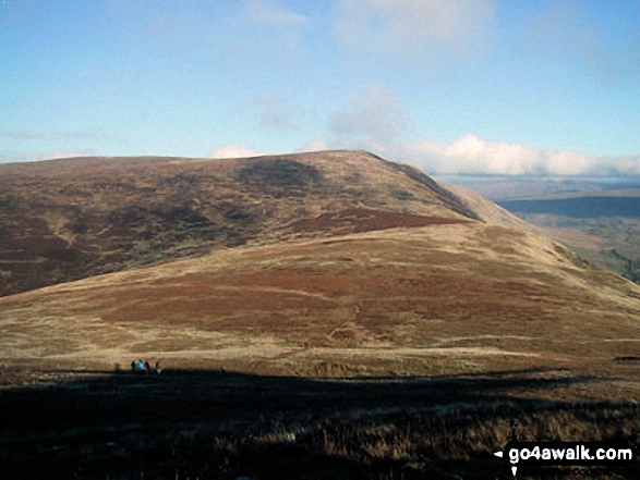
1. Calf Top
609m (2,000ft)
Mountain (180th in England, 317th in England & Wales)
Nuttall (253rd in England, 441st in England & Wales)
Marilyn (51st in England, 752nd in GB)
OS Trig Point
Calf Top was reclassified from a 'Dewey' to a Mountain (Hewitt) and 'Nuttall' in September 2016. Formerly thought to be fractionally under the 609.6m (2000ft) required for mountain status, the Ordnance Survey recalculated the height of the mountain using the OSTN15/OSGM15 transformation to a height of 609.606m (2000ft and 1/4 inch).
To walk, climb & bag Calf Top use this easy-to-follow walk:
See the location of Calf Top and walks up it on a google MapCalf Top is on interactive maps:
OS Explorer (Orange Covers): OL2
OS Landranger (Pink Covers): 98
Calf Top is on downloadable PDF you can Print or Save to your Phone:
|
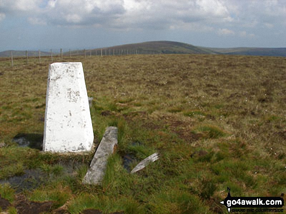
2. Renwick Fell (Thack Moor)
609m (2,000ft)
Mountain (179th in England, 316th in England & Wales)
Nuttall (254th in England, 443rd in England & Wales)
OS Trig Point
Renwick Fell (Thack Moor) was reclassified from a 'Dewey' to a Mountain (Hewitt) and 'Nuttall' in April 2013. Formerly thought to be fractionally under the 609.6m (2000ft) required for mountain status, the Ordnance Survey has confirmed the height to be 609.62m (2000ft and 3/4 inch).
To walk, climb & bag Renwick Fell (Thack Moor) use either of these easy-to-follow walks:
See the location of Renwick Fell (Thack Moor) and walks up it on a google MapRenwick Fell (Thack Moor) is on interactive maps:
OS Explorer (Orange Covers): OL43
OS Landranger (Pink Covers): 86
Renwick Fell (Thack Moor) is on downloadable PDF you can Print or Save to your Phone:
|
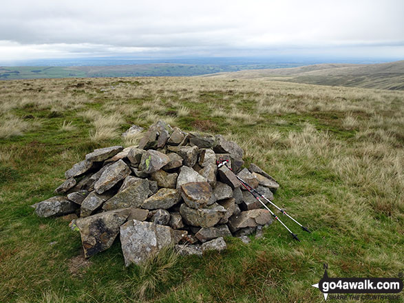
3. Bloodybush Edge
610m (2,001ft)
Mountain (178th in England, 313th in England & Wales)
Nuttall (250th in England, 438th in England & Wales)
OS Trig Point
To walk, climb & bag Bloodybush Edge use this easy-to-follow walk:
See the location of Bloodybush Edge and walks up it on a google MapBloodybush Edge is on interactive maps:
OS Explorer (Orange Covers): OL16
OS Landranger (Pink Covers): 80
A downloadable go4awalk.com PDF Peak Bagging Map featuring Bloodybush Edge will be available soon. |
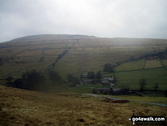
4. Bullman Hills
610m (2,001ft)
Nuttall (251st in England, 439th in England & Wales)
To walk, climb & bag Bullman Hills use this easy-to-follow walk:
See the location of Bullman Hills and walks up it on a google MapBullman Hills is on interactive maps:
OS Explorer (Orange Covers): OL31
OS Landranger (Pink Covers): 91
Bullman Hills is on downloadable PDF you can Print or Save to your Phone:
|
5. Miller Moss
610m (2,001ft)
Nuttall (252nd in England, 440th in England & Wales)
Miller Moss was declared a 'Nuttall' in August, 2018
To walk, climb & bag Miller Moss use any of these easy-to-follow walks:
See the location of Miller Moss and walks up it on a google MapMiller Moss is on interactive maps:
OS Explorer (Orange Covers): OL4
OS Landranger (Pink Covers): 89 and
90
Miller Moss is on downloadable PDF you can Print or Save to your Phone:
*Version including the walk routes marked on it that you need to follow to Walk all 214 Wainwrights in just 59 walks. |
6. Birks Fell
610m (2,002ft)
Mountain (177th in England, 312th in England & Wales)
Nuttall (249th in England, 435th in England & Wales)
Marilyn (50th in England, 749th in GB)
To walk, climb & bag Birks Fell use this easy-to-follow walk:
See the location of Birks Fell and walks up it on a google MapBirks Fell is on interactive maps:
OS Explorer (Orange Covers): OL30
OS Landranger (Pink Covers): 98
Birks Fell is on downloadable PDF you can Print or Save to your Phone:
|
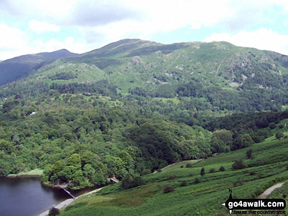
7. Heron Pike
612m (2,008ft)
Wainwright (No. 128)
Nuttall (246th in England, 430th in England & Wales)
To walk, climb & bag Heron Pike use any of these easy-to-follow walks:
See the location of Heron Pike and walks up it on a google MapHeron Pike is on interactive maps:
OS Explorer (Orange Covers): OL7
OS Landranger (Pink Covers): 90
Heron Pike is on downloadable PDF you can Print or Save to your Phone:
*Version including the walk routes marked on it that you need to follow to Walk all 214 Wainwrights in just 59 walks. |
8. Middlehope Moor
612m (2,008ft)
Mountain (176th in England, 309th in England & Wales)
Nuttall (247th in England, 431st in England & Wales)
OS Trig Point
To walk, climb & bag Middlehope Moor use this easy-to-follow walk:
See the location of Middlehope Moor and walks up it on a google MapMiddlehope Moor is on interactive maps:
OS Explorer (Orange Covers): OL31
OS Landranger (Pink Covers): 87
Middlehope Moor is on downloadable PDF you can Print or Save to your Phone:
|
9. Rosthwaite Cam (Rosthwaite Fell)
612m (2,008ft)
Nuttall (248th in England, 432nd in England & Wales)
To walk, climb & bag Rosthwaite Cam (Rosthwaite Fell) use either of these easy-to-follow walks:
See the location of Rosthwaite Cam (Rosthwaite Fell) and walks up it on a google MapRosthwaite Cam (Rosthwaite Fell) is on interactive maps:
OS Explorer (Orange Covers): OL4
OS Landranger (Pink Covers): 90
Rosthwaite Cam (Rosthwaite Fell) is on downloadable PDF you can Print or Save to your Phone:
*Version including the walk routes marked on it that you need to follow to Walk all 214 Wainwrights in just 59 walks. |
10. White Maiden
612m (2,010ft)
Nuttall (245th in England, 428th in England & Wales)
To walk, climb & bag White Maiden use this easy-to-follow walk:
See the location of White Maiden and walks up it on a google MapWhite Maiden is on interactive maps:
OS Explorer (Orange Covers): OL6
OS Landranger (Pink Covers): 96
A downloadable go4awalk.com PDF Peak Bagging Map featuring White Maiden will be available soon. |
11. Drumaldrace (Wether Fell)
614m (2,015ft)
Mountain (174th in England, 303rd in England & Wales)
Nuttall (243rd in England, 423rd in England & Wales)
To walk, climb & bag Drumaldrace (Wether Fell) use this easy-to-follow walk:
See the location of Drumaldrace (Wether Fell) and walks up it on a google MapDrumaldrace (Wether Fell) is on interactive maps:
OS Explorer (Orange Covers): OL2 and
OL30
OS Landranger (Pink Covers): 98
Drumaldrace (Wether Fell) is on downloadable PDF you can Print or Save to your Phone:
|
12. The Dodd
614m (2,015ft)
Mountain (175th in England, 306th in England & Wales)
Nuttall (244th in England, 425th in England & Wales)
We hope to have walks that climb & bag The Dodd very soon
See the location of The Dodd and walks up it on a google MapThe Dodd is on interactive maps:
OS Explorer (Orange Covers): OL31
OS Landranger (Pink Covers): 86 and
87
The Dodd is on downloadable PDF you can Print or Save to your Phone:
|
13. Flinty Fell
614m (2,016ft)
Mountain (173rd in England, 302nd in England & Wales)
Nuttall (242nd in England, 420th in England & Wales)
OS Trig Point
To walk, climb & bag Flinty Fell use this easy-to-follow walk:
See the location of Flinty Fell and walks up it on a google MapFlinty Fell is on interactive maps:
OS Explorer (Orange Covers): OL31
OS Landranger (Pink Covers): 86 and
87
Flinty Fell is on downloadable PDF you can Print or Save to your Phone:
|
14. Great Borne
616m (2,021ft)
Wainwright (No. 127)
Mountain (172nd in England, 300th in England & Wales)
Nuttall (241st in England, 417th in England & Wales)
OS Trig Point
To walk, climb & bag Great Borne use any of these easy-to-follow walks:
See the location of Great Borne and walks up it on a google MapGreat Borne is on interactive maps:
OS Explorer (Orange Covers): OL4
OS Landranger (Pink Covers): 89
Great Borne is on downloadable PDF you can Print or Save to your Phone:
*Version including the walk routes marked on it that you need to follow to Walk all 214 Wainwrights in just 59 walks. |
15. Cushat Law
616m (2,022ft)
Mountain (171st in England, 299th in England & Wales)
Nuttall (239th in England, 415th in England & Wales)
To walk, climb & bag Cushat Law use this easy-to-follow walk:
See the location of Cushat Law and walks up it on a google MapCushat Law is on interactive maps:
OS Explorer (Orange Covers): OL16
OS Landranger (Pink Covers): 80
A downloadable go4awalk.com PDF Peak Bagging Map featuring Cushat Law will be available soon. |
16. Great Lingy Hill
616m (2,022ft)
Nuttall (240th in England, 416th in England & Wales)
To walk, climb & bag Great Lingy Hill use any of these easy-to-follow walks:
See the location of Great Lingy Hill and walks up it on a google MapGreat Lingy Hill is on interactive maps:
OS Explorer (Orange Covers): OL5
OS Landranger (Pink Covers): 90
Great Lingy Hill is on downloadable PDF you can Print or Save to your Phone:
*Version including the walk routes marked on it that you need to follow to Walk all 214 Wainwrights in just 59 walks. |
17. Yewbarrow (North Top)
616m (2,023ft)
Mountain (170th in England, 298th in England & Wales)
Nuttall (238th in England, 414th in England & Wales)
To walk, climb & bag Yewbarrow (North Top) use any of these easy-to-follow walks:
See the location of Yewbarrow (North Top) and walks up it on a google MapYewbarrow (North Top) is on interactive maps:
OS Explorer (Orange Covers): OL6
OS Landranger (Pink Covers): 89
Yewbarrow (North Top) is on downloadable PDF you can Print or Save to your Phone:
*Version including the walk routes marked on it that you need to follow to Walk all 214 Wainwrights in just 59 walks. |
18. Hartsop Dodd
619m (2,031ft)
Wainwright (No. 126)
Nuttall (235th in England, 410th in England & Wales)
To walk, climb & bag Hartsop Dodd use any of these easy-to-follow walks:
See the location of Hartsop Dodd and walks up it on a google MapHartsop Dodd is on interactive maps:
OS Explorer (Orange Covers): OL5
OS Landranger (Pink Covers): 90
Hartsop Dodd is on downloadable PDF you can Print or Save to your Phone:
*Version including the walk routes marked on it that you need to follow to Walk all 214 Wainwrights in just 59 walks. |
19. Windy Gyle
619m (2,031ft)
Mountain (169th in England, 296th in England & Wales)
Nuttall (236th in England, 411th in England & Wales)
Donald (85th)
OS Trig Point
Since Windy Gyle lies on the border between England & Scotland it has the distinction of being classified as an English Mountain (Hewitt), an English Nuttall and a Scottish Donald.
To walk, climb & bag Windy Gyle use any of these easy-to-follow walks:
See the location of Windy Gyle and walks up it on a google MapWindy Gyle is on interactive maps:
OS Explorer (Orange Covers): OL16
OS Landranger (Pink Covers): 80
A downloadable go4awalk.com PDF Peak Bagging Map featuring Windy Gyle will be available soon. |
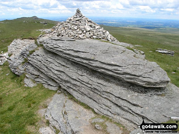
20. Yes Tor
619m (2,031ft)
Nuttall (237th in England, 412th in England & Wales)
OS Trig Point
To walk, climb & bag Yes Tor use any of these easy-to-follow walks:
See the location of Yes Tor and walks up it on a google MapYes Tor is on interactive maps:
OS Explorer (Orange Covers): OL28
OS Landranger (Pink Covers): 191
Yes Tor is on downloadable PDF you can Print or Save to your Phone:
|
21. Bink Moss
619m (2,032ft)
Mountain (168th in England, 294th in England & Wales)
Nuttall (234th in England, 406th in England & Wales)
To walk, climb & bag Bink Moss use this easy-to-follow walk:
See the location of Bink Moss and walks up it on a google MapBink Moss is on interactive maps:
OS Explorer (Orange Covers): OL19
OS Landranger (Pink Covers): 91 and
92
Bink Moss is on downloadable PDF you can Print or Save to your Phone:
|
22. Bellbeaver Rigg (Tynehead Fell)
620m (2,035ft)
Nuttall (233rd in England, 405th in England & Wales)
To walk, climb & bag Bellbeaver Rigg (Tynehead Fell) use any of these easy-to-follow walks:
See the location of Bellbeaver Rigg (Tynehead Fell) and walks up it on a google MapBellbeaver Rigg (Tynehead Fell) is on interactive maps:
OS Explorer (Orange Covers): OL31
OS Landranger (Pink Covers): 91
Bellbeaver Rigg (Tynehead Fell) is on downloadable PDF you can Print or Save to your Phone:
|
23. Cold Fell Pike (Geltsdale)
621m (2,038ft)
Mountain (167th in England, 290th in England & Wales)
Nuttall (230th in England, 400th in England & Wales)
Marilyn (48th in England, 725th in GB)
OS Trig Point
To walk, climb & bag Cold Fell Pike (Geltsdale) use either of these easy-to-follow walks:
See the location of Cold Fell Pike (Geltsdale) and walks up it on a google MapCold Fell Pike (Geltsdale) is on interactive maps:
OS Explorer (Orange Covers): OL31
OS Landranger (Pink Covers): 86
Cold Fell Pike (Geltsdale) is on downloadable PDF you can Print or Save to your Phone:
|
24. Rydal Fell (Heron Pike North Top)
621m (2,038ft)
Nuttall (231st in England, 402nd in England & Wales)
To walk, climb & bag Rydal Fell (Heron Pike North Top) use any of these easy-to-follow walks:
See the location of Rydal Fell (Heron Pike North Top) and walks up it on a google MapRydal Fell (Heron Pike North Top) is on interactive maps:
OS Explorer (Orange Covers): OL7
OS Landranger (Pink Covers): 90
Rydal Fell (Heron Pike North Top) is on downloadable PDF you can Print or Save to your Phone:
*Version including the walk routes marked on it that you need to follow to Walk all 214 Wainwrights in just 59 walks. |
25. Walna Scar
621m (2,038ft)
Nuttall (232nd in England, 404th in England & Wales)
Wainwright Outlying Fell (No. 1)
To walk, climb & bag Walna Scar use this easy-to-follow walk:
See the location of Walna Scar and walks up it on a google MapWalna Scar is on interactive maps:
OS Explorer (Orange Covers): OL6
OS Landranger (Pink Covers): 96 and
97
A downloadable go4awalk.com PDF Peak Bagging Map featuring Walna Scar will be available soon. |
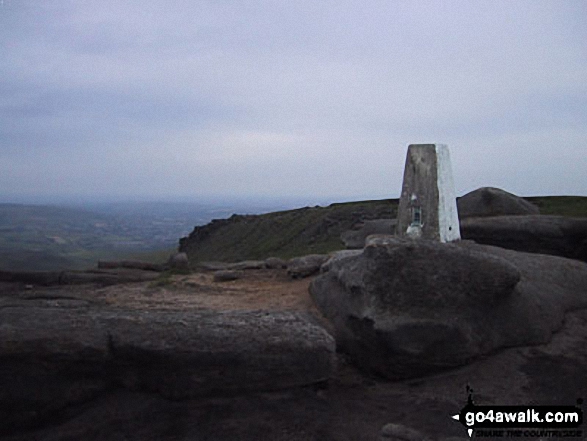
26. High Willhays
622m (2,041ft)
Mountain (166th in England, 289th in England & Wales)
Nuttall (228th in England, 397th in England & Wales)
Marilyn (49th in England, 727th in GB)
High Willhays is the highest point in Dartmoor National Park and and the highest point in the county of Devon.
To walk, climb & bag High Willhays use any of these easy-to-follow walks:
See the location of High Willhays and walks up it on a google MapHigh Willhays is on interactive maps:
OS Explorer (Orange Covers): OL28
OS Landranger (Pink Covers): 191
High Willhays is on downloadable PDF you can Print or Save to your Phone:
|
27. Higher Shelf Stones
622m (2,041ft)
Nuttall (229th in England, 398th in England & Wales)
OS Trig Point
To walk, climb & bag Higher Shelf Stones use any of these easy-to-follow walks:
See the location of Higher Shelf Stones and walks up it on a google MapHigher Shelf Stones is on interactive maps:
OS Explorer (Orange Covers): OL1
OS Landranger (Pink Covers): 110
Higher Shelf Stones is on downloadable PDF you can Print or Save to your Phone:
|
28. Bush Howe
623m (2,044ft)
Nuttall (227th in England, 393rd in England & Wales)
To walk, climb & bag Bush Howe use either of these easy-to-follow walks:
See the location of Bush Howe and walks up it on a google MapBush Howe is on interactive maps:
OS Explorer (Orange Covers): OL19
OS Landranger (Pink Covers): 97
Bush Howe is on downloadable PDF you can Print or Save to your Phone:
|
29. Long Fell
623m (2,045ft)
Nuttall (226th in England, 391st in England & Wales)
Long Fell was promoted to 'Nuttall' status in November, 2016.
To walk, climb & bag Long Fell use this easy-to-follow walk:
See the location of Long Fell and walks up it on a google MapLong Fell is on interactive maps:
OS Explorer (Orange Covers): OL19
OS Landranger (Pink Covers): 91
Long Fell is on downloadable PDF you can Print or Save to your Phone:
|
30. Birks
624m (2,047ft)
Wainwright (No. 125)
Nuttall (222nd in England, 387th in England & Wales)
To walk, climb & bag Birks use any of these easy-to-follow walks:
See the location of Birks and walks up it on a google MapBirks is on interactive maps:
OS Explorer (Orange Covers): OL5
OS Landranger (Pink Covers): 90
Birks is on downloadable PDF you can Print or Save to your Phone:
*Version including the walk routes marked on it that you need to follow to Walk all 214 Wainwrights in just 59 walks. |
Page 1 of 9 Go to page:
1 2 3 4 5 6 7 8 9 |
View these 254 Mountains, Peaks, Tops and Hills:
Is there a Mountain, Peak, Top or Hill missing from the above google map or list?
Let us know an we will add it to our database.


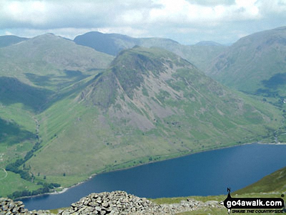


 The view from Scafell Pike in England


