|
Vital Statistics:
| Length: | 9½mls (15km) |
| Ascent: | 1,378ft (420m) |
| Time: | 4¾hrs |
| Grade: |  |

Route outline for walk n106:
Allenheads - Dirt Pots - The Weardale Way - Killhope Law - Stangend Currick - Middlehope Moor - Shorngate Cross - Allenheads


Peaks, Summits and Tops reached on this walk:
 2 English Mountains |
 0 Wainwrights |
 2 English Nuttalls |
 0 English Deweys |
 0 Wainwright Outlying Fells |
 0 Marilyns |
 0 Bridgets |
Peak Bagging Statistics for this walk:
The highest point of this walk is Killhope Law at 673m (2208ft). Killhope Law is classified as an English Mountain (Hewitt) (123rd highest in England, 207th highest in England & Wales)
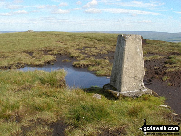
Killhope Law is also known as an English Nuttall (165th highest in England, 278th highest in England & Wales). The summit of Killhope Law is marked by an Ordnance Survey Trig Point.
Completing this walk will also take you to the top of Middlehope Moor at 612m (2008ft). Middlehope Moor is classified as an English Mountain (Hewitt) (176th highest in England, 309th highest in England & Wales)
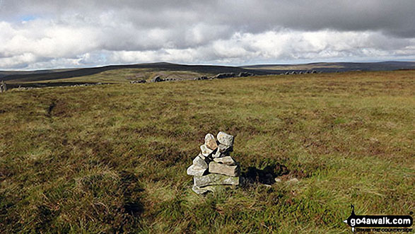
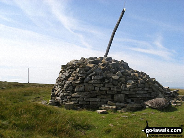
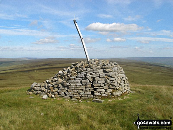
Middlehope Moor is also known as an English Nuttall (247th highest in England, 431st highest in England & Wales). The summit of Middlehope Moor is marked by a cairn 750m NW of an Ordnance Survey Trig Point.
National Trails & Long Paths included on this walk:
Part of this walk follows a section of The Weardale Way, a 117km (73 miles) linear footpath connecting Roker in Tyne and Wear, England with Wearhead in County Durham, England. The Weardale Way is waymarked by named posts. For more walks that include a section of this trail see The Weardale Way.
You can find this walk and other nearby walks on these unique free-to-access Interactive Walk Planning Maps:
1:25,000 scale OS Explorer Map (orange/yellow covers):
1:50,000 scale OS Landranger Map (pink/magenta covers):
Some Photos and Pictures from Walk n106 Killhope Law and Middlehope Moor from Allenheads
In no particular order . . .
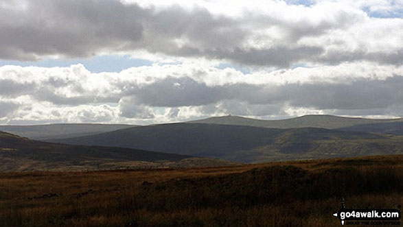
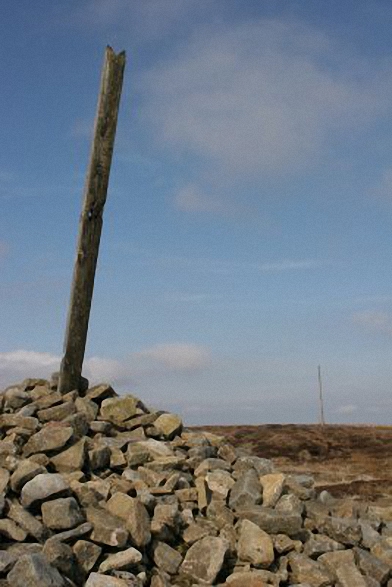


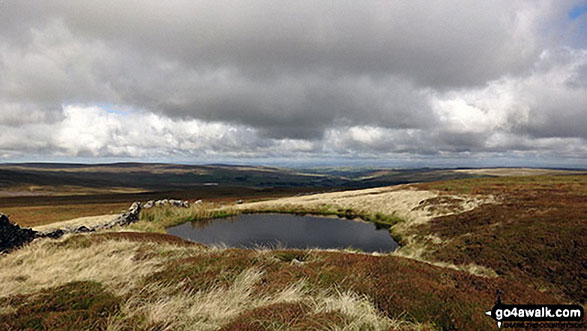

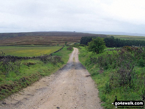



Descending the Burtree Fell track from Middlehope Moor to Cowshill with Burnhope Reservoir and Burnhope Seat in the distance

Send us your photographs and pictures from your walks and hikes
We would love to see your photographs and pictures from walk n106 Killhope Law and Middlehope Moor from Allenheads. Send them in to us as email attachments (configured for any computer) along with your name and where the picture was taken to:
and we shall do our best to publish them.
(Guide Resolution = 300dpi. At least = 660 pixels (wide) x 440 pixels (high).)

You can also submit photos from walk n106 Killhope Law and Middlehope Moor from Allenheads via our Facebook Page.
NB. Please indicate where each photo was taken.