The 30 nearest, easy-to-follow, circular walks, routes & maps to UK Postcode NE46

The thirty nearest, easy-to-follow, circular walks, routes & maps to UK Postcode NE46 in Walk Grade Order

Walk 1 Walking Bootprint Icon

Walk n100 Hadrian's Wall and Vindolanda from Housesteads

The Wall section is surprisingly strenuous

Download GPS Waypoint Data for walk n100
Download GPX Waypoint Data for walk n100
Download Map and Route Details for walk n100

Vital Statistics:

Length:8.25 miles (13 km)
Ascent:1,460ft (445m)
Time:4½ hrs
Grade:Grade 5 Walking Moderate
Walk 2 Walking Bootprint Icon

Walk n151 Killhope Law and Carrshield Moor from Allenheads

Rough terrain and wild moorland

Download GPS Waypoint Data for walk n151
Download GPX Waypoint Data for walk n151
Download Map and Route Details for walk n151

Vital Statistics:

Length:12.75 miles (20.5 km)
Ascent:1,759ft (536m)
Time:6½ hrs
Grade:Grade 6 Walking Moderate
Walk 3 Walking Bootprint Icon

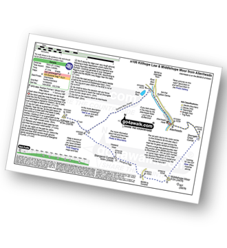
Walk n106 Killhope Law and Middlehope Moor from Allenheads

Good views though the terrain can be rough

Download GPS Waypoint Data for walk n106
Download GPX Waypoint Data for walk n106
Download Map and Route Details for walk n106

Vital Statistics:

Length:9.5 miles (15 km)
Ascent:1,378ft (420m)
Time:4.75hrs
Grade:Grade 5 Walking Moderate
Walk 4 Walking Bootprint Icon

Walk n142 Hadrian's Wall from Cawfield Quarry to Steel Rigg

The highest point of Hadrian's Wall

Download GPS Waypoint Data for walk n142
Download GPX Waypoint Data for walk n142
Download Map and Route Details for walk n142

Vital Statistics:

Length:5.5 miles (9 km)
Ascent:1,138ft (347m)
Time:3½ hrs
Grade:Grade 4 Walking Moderate
Walk 5 Walking Bootprint Icon

Walk n122 The South Tyne from Haltwhistle

Gentle farmland

Download GPS Waypoint Data for walk n122
Download GPX Waypoint Data for walk n122
Download Map and Route Details for walk n122

Vital Statistics:

Length:8.5 miles (13.5 km)
Ascent:804ft (245m)
Time:4 hrs
Grade:Grade 4 Walking Moderate
Walk 6 Walking Bootprint Icon

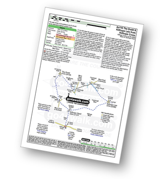
Walk du116 The Dodd and Killhope Law from Killhope Cross

One for the peak baggers - Killhope Head can be boggy!

Download GPS Waypoint Data for walk du116
Download GPX Waypoint Data for walk du116
Download Map and Route Details for walk du116

Vital Statistics:

Length:6.25 miles (10 km)
Ascent:821ft (250m)
Time:3.25hrs
Grade:Grade 3 Walking Easy
Walk 7 Walking Bootprint Icon

Walk du118 Bolt's Law from Stanhope

Good views of Weardale

Download GPS Waypoint Data for walk du118
Download GPX Waypoint Data for walk du118
Download Map and Route Details for walk du118

Vital Statistics:

Length:14.5 miles (23 km)
Ascent:1,805ft (550m)
Time:7.25hrs
Grade:Grade 6 Walking Moderate
Walk 8 Walking Bootprint Icon

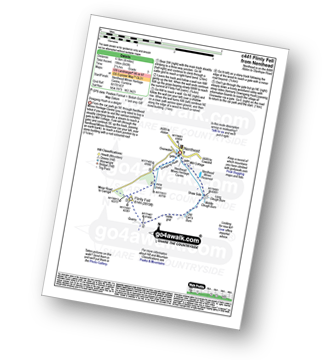
Walk c441 Flinty Fell from Nenthead

Dowgang Hush is a delight

Download GPS Waypoint Data for walk c441
Download GPX Waypoint Data for walk c441
Download Map and Route Details for walk c441

Vital Statistics:

Length:4 miles (6.5 km)
Ascent:643ft (196m)
Time:2.25hrs
Grade:Grade 3 Walking Easy
Walk 9 Walking Bootprint Icon

Walk du145 Chapelfell Top from St John's Chapel

Wild moorland walking with fine views

Download GPS Waypoint Data for walk du145
Download GPX Waypoint Data for walk du145
Download Map and Route Details for walk du145

Vital Statistics:

Length:14 miles (22.5 km)
Ascent:1,979ft (603m)
Time:7 hrs
Grade:Grade 7 Walking Hard
Walk 10 Walking Bootprint Icon

Walk du129 Chapelfell Top from St John's Chapel

Wild moorland walking with fine views

Download GPS Waypoint Data for walk du129
Download GPX Waypoint Data for walk du129
Download Map and Route Details for walk du129

Vital Statistics:

Length:9 miles (14.5 km)
Ascent:1,651ft (503m)
Time:5 hrs
Grade:Grade 5 Walking Moderate
Walk 11 Walking Bootprint Icon

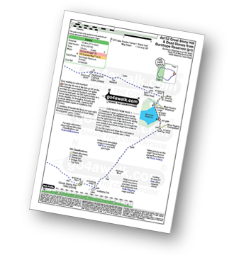
Walk du152 Great Stony Hill and Dead Stones from Burnhope Reservoir

Easy walking on wild moorland

Download GPS Waypoint Data for walk du152
Download GPX Waypoint Data for walk du152
Download Map and Route Details for walk du152

Vital Statistics:

Length:11.5 miles (18.5 km)
Ascent:1,631ft (497m)
Time:5.75hrs
Grade:Grade 6 Walking Moderate
Walk 12 Walking Bootprint Icon

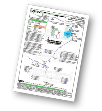
Walk du114 Three Pikes and Burnhope Seat from Burnhope Reservoir

Easy walking on wild moorland

Download GPS Waypoint Data for walk du114
Download GPX Waypoint Data for walk du114
Download Map and Route Details for walk du114

Vital Statistics:

Length:14 miles (22.5 km)
Ascent:1,904ft (580m)
Time:7 hrs
Grade:Grade 7 Walking Hard
Walk 13 Walking Bootprint Icon

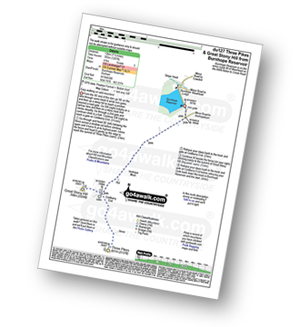
Walk du127 Three Pikes and Great Stony Hill from Burnhope Reservoir

Easy walking on wild moorland

Download GPS Waypoint Data for walk du127
Download GPX Waypoint Data for walk du127
Download Map and Route Details for walk du127

Vital Statistics:

Length:7.5 miles (12 km)
Ascent:1,287ft (392m)
Time:4 hrs
Grade:Grade 5 Walking Moderate
Walk 14 Walking Bootprint Icon

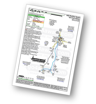
Walk c483 The River South Tyne from Alston

Nice riverside stroll

Download GPS Waypoint Data for walk c483
Download GPX Waypoint Data for walk c483
Download Map and Route Details for walk c483

Vital Statistics:

Length:4.75 miles (7.5 km)
Ascent:479ft (146m)
Time:2.25hrs
Grade:Grade 2 Walking Easy
Walk 15 Walking Bootprint Icon

Walk n114 Grey Nag and Black Fell (Haresceugh Fell) from Gilderdale Bridge

Wild quiet moorland

Download GPS Waypoint Data for walk n114
Download GPX Waypoint Data for walk n114
Download Map and Route Details for walk n114

Vital Statistics:

Length:10 miles (16 km)
Ascent:1,628ft (496m)
Time:5.25hrs
Grade:Grade 6 Walking Moderate
Walk 16 Walking Bootprint Icon

Walk n139 Grey Nag from Gilderdale Bridge

Easy walk on wild quiet moorland

Download GPS Waypoint Data for walk n139
Download GPX Waypoint Data for walk n139
Download Map and Route Details for walk n139

Vital Statistics:

Length:6.25 miles (10 km)
Ascent:1,325ft (404m)
Time:3½ hrs
Grade:Grade 4 Walking Moderate
Walk 17 Walking Bootprint Icon

Walk du110 Collier Law from Frosterley

Wild moorland fine fine views

Download GPS Waypoint Data for walk du110
Download GPX Waypoint Data for walk du110
Download Map and Route Details for walk du110

Vital Statistics:

Length:11 miles (17 km)
Ascent:1,246ft (380m)
Time:5.25hrs
Grade:Grade 5 Walking Moderate
Walk 18 Walking Bootprint Icon

Walk c477 Ashgill Falls and Bellbeaver Rigg from Garrigill

Both sides of the North Pennines

Download GPS Waypoint Data for walk c477
Download GPX Waypoint Data for walk c477
Download Map and Route Details for walk c477

Vital Statistics:

Length:10 miles (16 km)
Ascent:1,359ft (414m)
Time:4 hrs
Grade:Grade 5 Walking Moderate
Walk 19 Walking Bootprint Icon

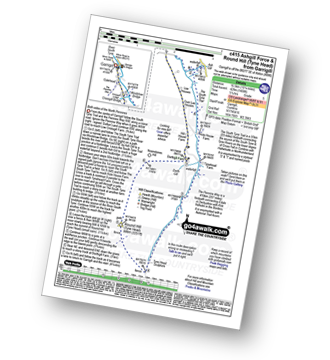
Walk c415 Ashgill Force and Round Hill (Tyne Head) from Garrigill

Both sides of the North Pennines

Download GPS Waypoint Data for walk c415
Download GPX Waypoint Data for walk c415
Download Map and Route Details for walk c415

Vital Statistics:

Length:10.25 miles (16.5 km)
Ascent:1,408ft (429m)
Time:5.25hrs
Grade:Grade 5 Walking Moderate
Walk 20 Walking Bootprint Icon

Walk c443 Round Hill and Bellbeaver Rigg from Garrigill

Both sides of the North Pennines

Download GPS Waypoint Data for walk c443
Download GPX Waypoint Data for walk c443
Download Map and Route Details for walk c443

Vital Statistics:

Length:11 miles (17.5 km)
Ascent:1,766ft (538m)
Time:5.75hrs
Grade:Grade 6 Walking Moderate
Walk 21 Walking Bootprint Icon

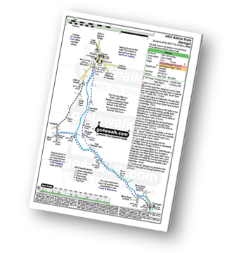
Walk c435 Alston from Garrigill

Lovely riverside stroll

Download GPS Waypoint Data for walk c435
Download GPX Waypoint Data for walk c435
Download Map and Route Details for walk c435

Vital Statistics:

Length:8.75 miles (14 km)
Ascent:798ft (243m)
Time:4 hrs
Grade:Grade 4 Walking Moderate
Walk 22 Walking Bootprint Icon

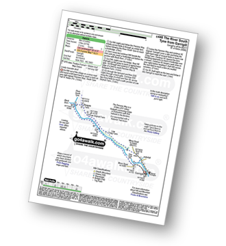
Walk c446 The River South Tyne from Garrigill

Lovely riverside stroll

Download GPS Waypoint Data for walk c446
Download GPX Waypoint Data for walk c446
Download Map and Route Details for walk c446

Vital Statistics:

Length:5 miles (8 km)
Ascent:571ft (174m)
Time:2½ hrs
Grade:Grade 3 Walking Easy
Walk 23 Walking Bootprint Icon

Walk c293 Cross Fell and Great Dun Fell from Garrigill

Cross Fell is the highest point on the Pennine Way

Download GPS Waypoint Data for walk c293
Download GPX Waypoint Data for walk c293
Download Map and Route Details for walk c293

Vital Statistics:

Length:20 miles (32 km)
Ascent:2,905ft (885m)
Time:10 hrs
Grade:Grade 8 Walking Hard
Walk 24 Walking Bootprint Icon

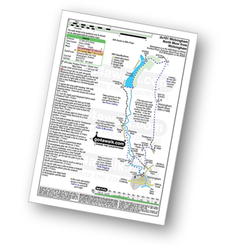
Walk du161 Wolsingham North Moor from Wolsingham

Gentle ascent across lonely moorland

Download GPS Waypoint Data for walk du161
Download GPX Waypoint Data for walk du161
Download Map and Route Details for walk du161

Vital Statistics:

Length:8.5 miles (13.5 km)
Ascent:1,093ft (333m)
Time:4.25hrs
Grade:Grade 4 Walking Moderate
Walk 25 Walking Bootprint Icon

Walk du104 Elephant Trees from Wolsingham

Superb views across Weardale

Download GPS Waypoint Data for walk du104
Download GPX Waypoint Data for walk du104
Download Map and Route Details for walk du104

Vital Statistics:

Length:10.5 miles (17 km)
Ascent:853ft (260m)
Time:4½ hrs
Grade:Grade 4 Walking Moderate
Walk 26 Walking Bootprint Icon

Walk tw100 The River Tyne from Gateshead Millennium Bridge (Baltic Square)

Riverside stroll through history

Download GPS Waypoint Data for walk tw100
Download GPX Waypoint Data for walk tw100
Download Map and Route Details for walk tw100

Vital Statistics:

Length:5.5 miles (8.5 km)
Ascent:46ft (14m)
Time:2 hrs
Grade:Grade 1 Walking Easy
Walk 27 Walking Bootprint Icon

Walk n193 Kielder Water from Hawkhope

A delightful walk in forest & by lake shore.

Download GPS Waypoint Data for walk n193
Download GPX Waypoint Data for walk n193
Download Map and Route Details for walk n193

Vital Statistics:

Length:8.5 miles (13.5 km)
Ascent:945ft (288m)
Time:4 hrs
Grade:Grade 4 Walking Moderate
Walk 28 Walking Bootprint Icon

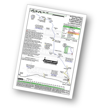
Walk du132 Three Pikes, Great Stony Hill and Viewing Hill from Langdon Beck

Fine views in all directions - can be boggy!

Download GPS Waypoint Data for walk du132
Download GPX Waypoint Data for walk du132
Download Map and Route Details for walk du132

Vital Statistics:

Length:14 miles (22.5 km)
Ascent:1,743ft (531m)
Time:7 hrs
Grade:Grade 6 Walking Moderate
Walk 29 Walking Bootprint Icon

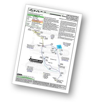
Walk c348 Cold Fell Pike (Geltsdale) from Clesketts

Great views from little visited fells

Download GPS Waypoint Data for walk c348
Download GPX Waypoint Data for walk c348
Download Map and Route Details for walk c348

Vital Statistics:

Length:5.75 miles (9 km)
Ascent:1,480ft (451m)
Time:3.75hrs
Grade:Grade 4 Walking Moderate
Walk 30 Walking Bootprint Icon

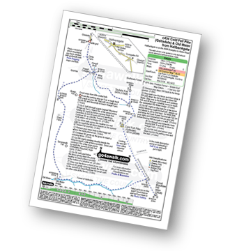
Walk c434 Cold Fell Pike (Geltsdale) and Old Water Bridge from Clesketts

Great views from little visited fells

Download GPS Waypoint Data for walk c434
Download GPX Waypoint Data for walk c434
Download Map and Route Details for walk c434

Vital Statistics:

Length:11.75 miles (19 km)
Ascent:1,943ft (592m)
Time:6.25hrs
Grade:Grade 6 Walking Moderate


Follow go4awalk.com on Twitter Follow go4awalk.com on Facebook