   |
Vital Statistics:
| Length: | 8½mls (13.5km) |
| Ascent: | 1,093ft (333m) |
| Time: | 4¼hrs |
| Grade: |  |
Route outline for walk du161:
Wolsingham - Waskerley Beck - Holywood House - Bael Hill House - Thistlewood Farm - Wolsingham North Moor - Tunstall Reservoir - Bishop Oak - Wolsingham
You can find this walk and other nearby walks on these unique free-to-access Interactive Walk Planning Maps:
1:25,000 scale OS Explorer Maps (orange/yellow covers):
An Interactive Walk Planning Map for OS Explorer 307 Consett & Derwent Reservoir, Stanhope is not currently available
1:50,000 scale OS Landranger Maps (pink/magenta covers):
An Interactive Walk Planning Map for OS Landranger 88 Newcastle Upon Tyne, Durham & Sunderland is not currently available
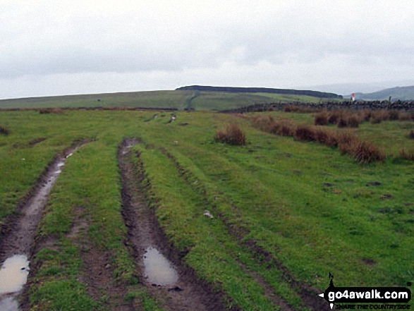
Some Photos and Pictures from Walk du161 Wolsingham North Moor from Wolsingham
In no particular order . . .
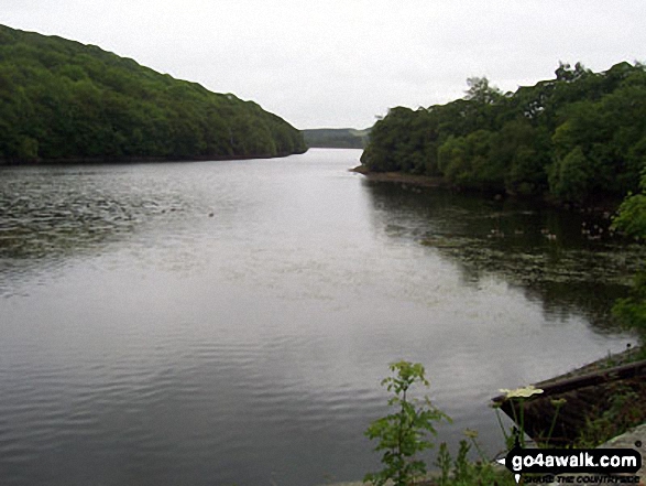

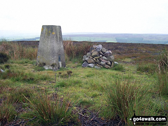


My fiancee and I stopped on Wolsingham North Moor for a spot of lunch earlier this month
Send us your photographs and pictures from your walks and hikes
We would love to see your photographs and pictures from walk du161 Wolsingham North Moor from Wolsingham. Send them in to us as email attachments (configured for any computer) along with your name and where the picture was taken to:
and we shall do our best to publish them.
(Guide Resolution = 300dpi. At least = 660 pixels (wide) x 440 pixels (high).)

You can also submit photos from walk du161 Wolsingham North Moor from Wolsingham via our Facebook Page.
NB. Please indicate where each photo was taken.


